Sponsored by Socorro County Historical Society


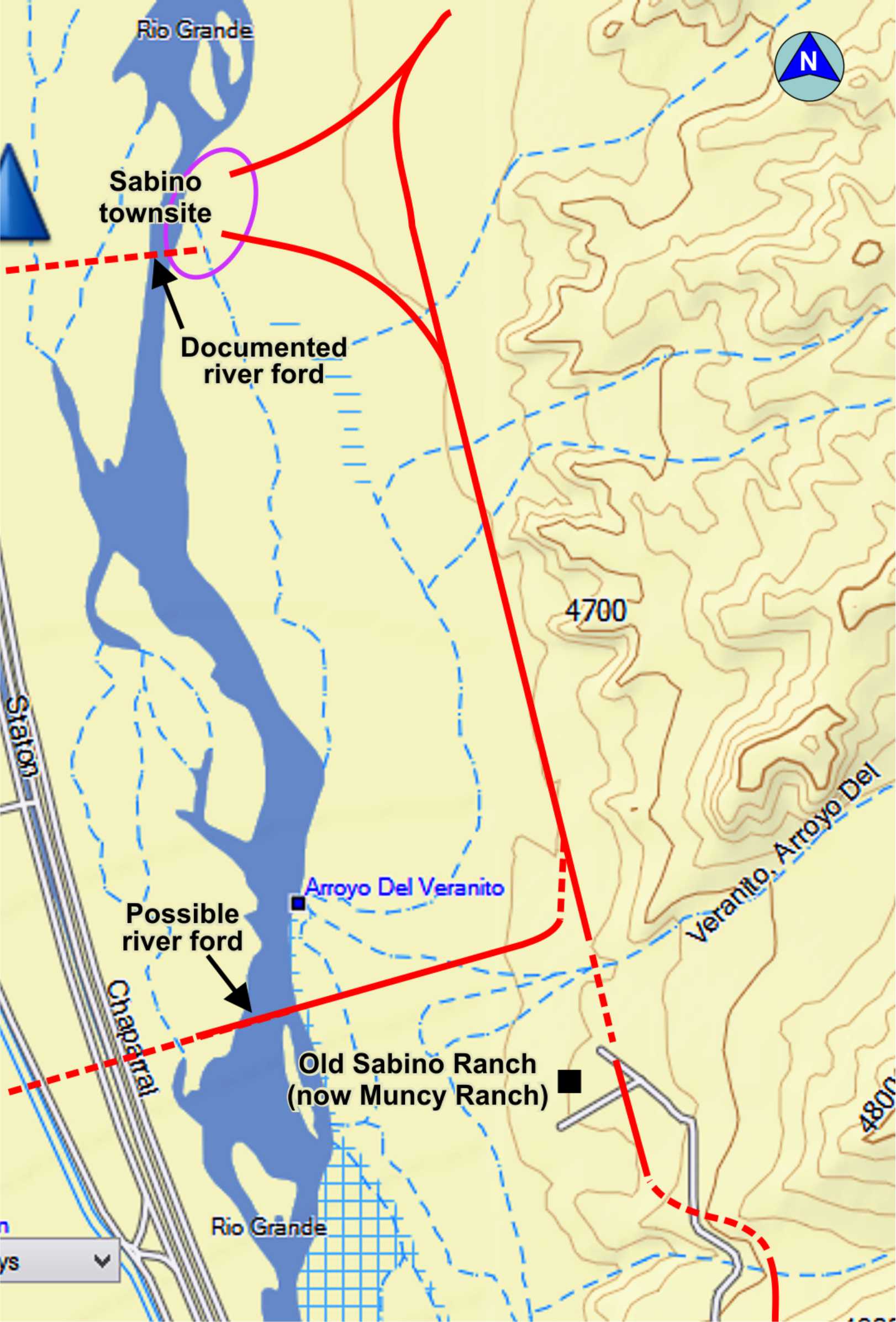
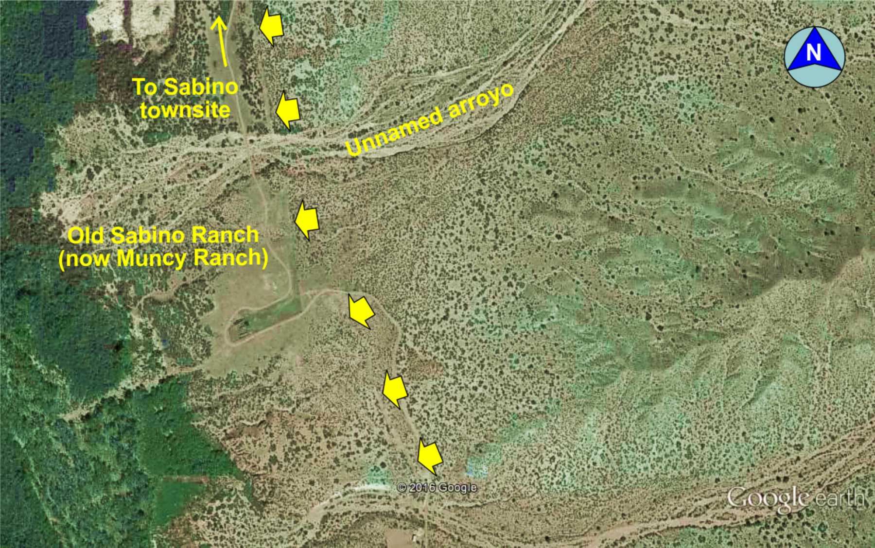
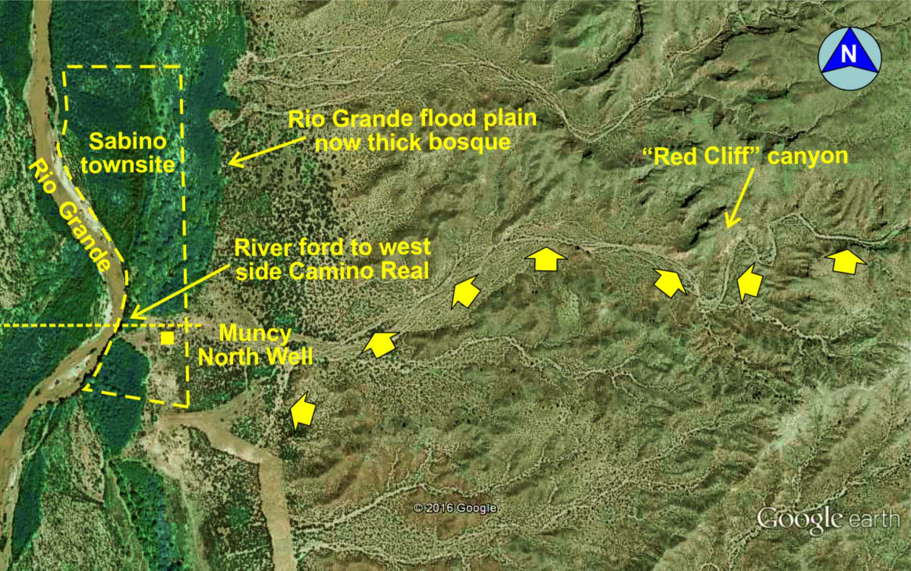
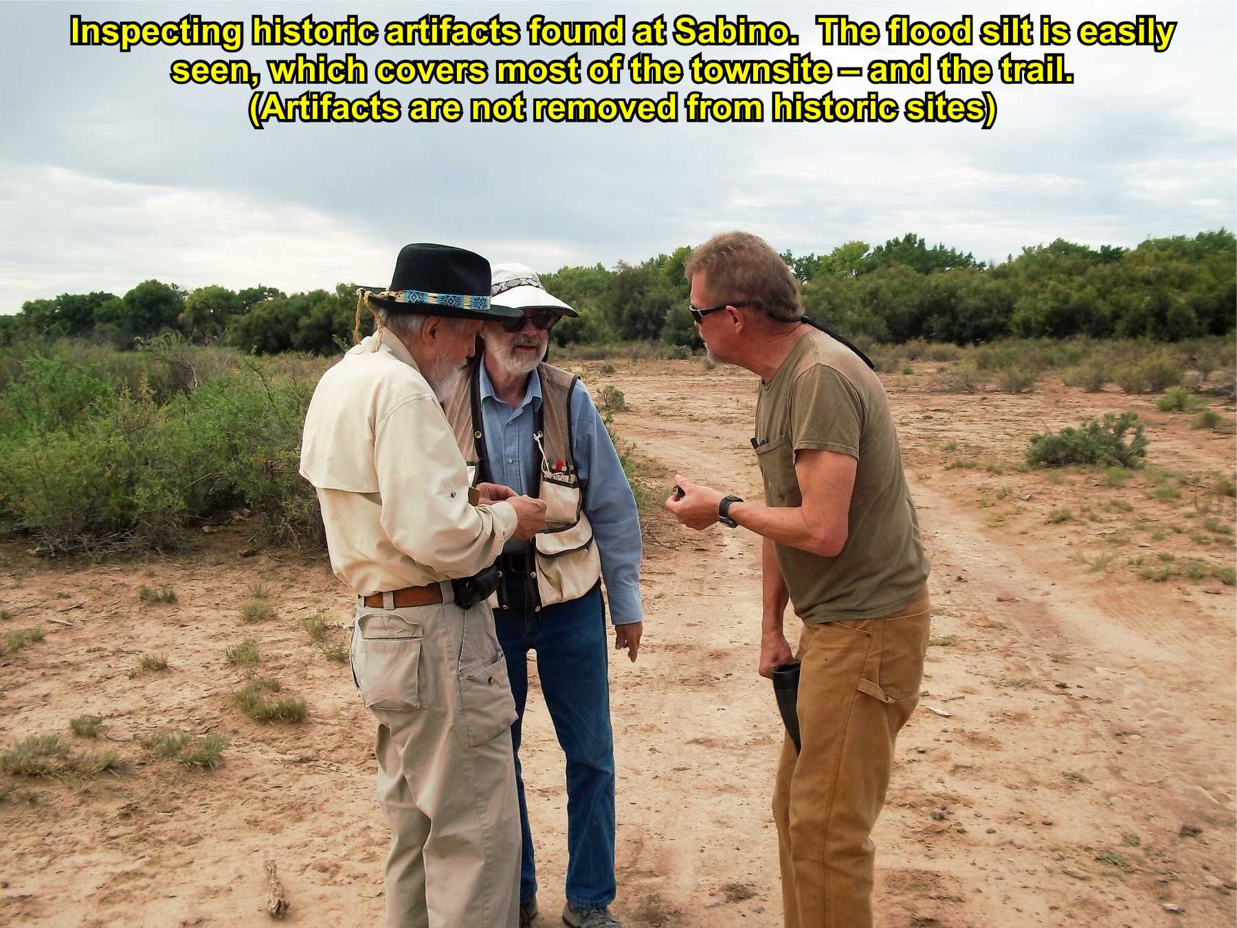
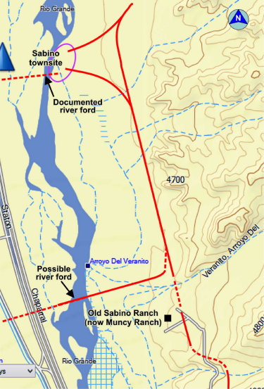
Sabino townsite
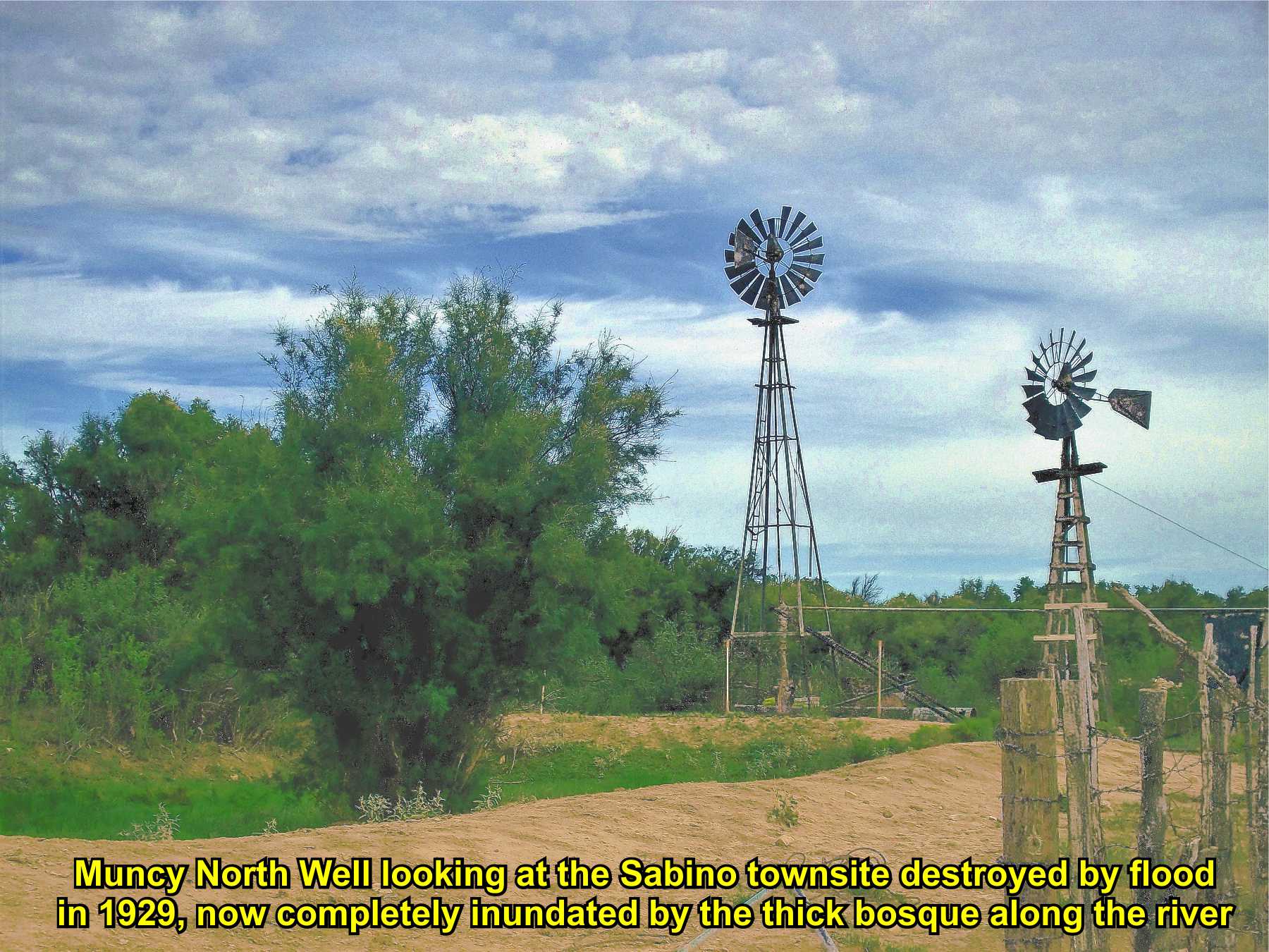
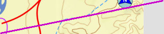
(Muncy North Well)

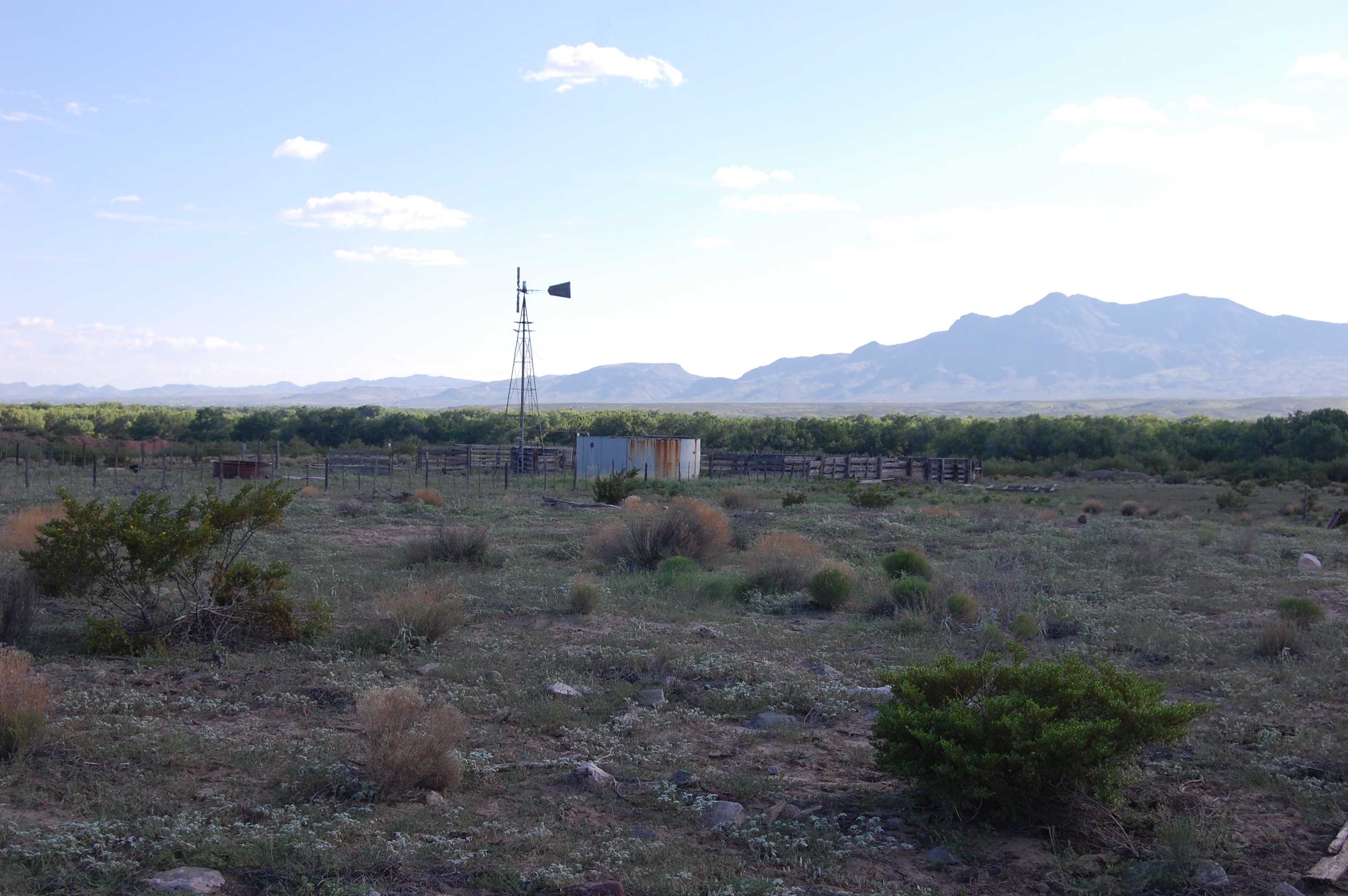
Sabino Ranch


Sabino village first mentioned 1780; a popular stop on the trail and well documented river ford, including by U.S. Army supply wagons enroute to Ft. Craig. Abandoned around 1870-80; townsite destroyed by 1929 flood.
Sabino Ranch is historic and on the trail. Now part of the Muncy Ranch. Original historic ranch house was razed late 1990s, leaving only corrals and the Sabino Well. Oral history states a river ford near the ranch was used to cross to Lemitar and Socorro on west side of river. The primary river ford (documented) was located at Sabino village.


El Camino Real de Tierra Adentro
Maps, photos, and aerial photography of the trail
Primarily in Sierra & Socorro counties
TRAIL SEGMENT ON THIS PAGE:
Adjacent to Lemitar, NM
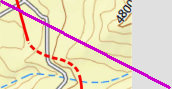
Parida Hill to Sabino townsite
Spur to river ford
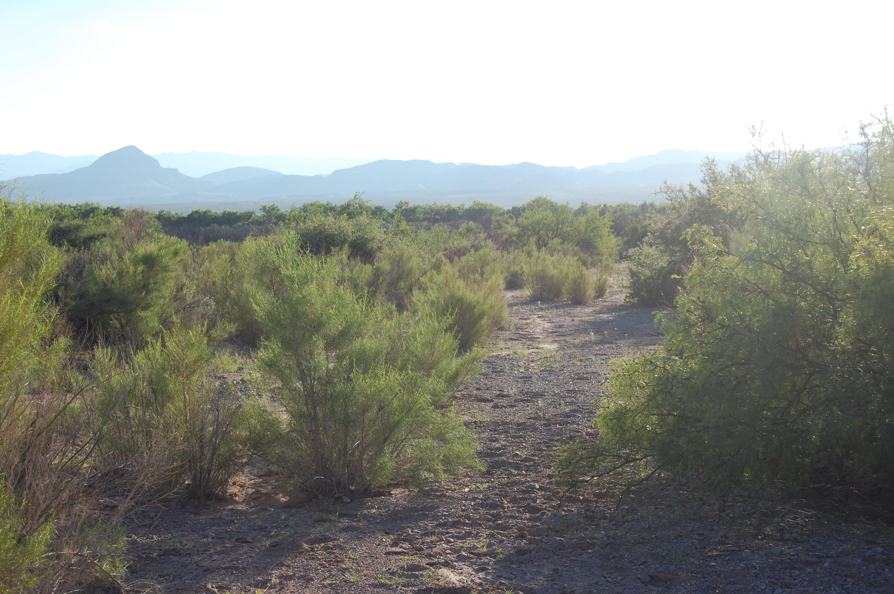
Trail to Sabino
Trail to Sabino
soc-N2
2
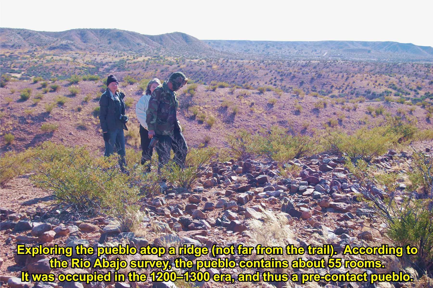
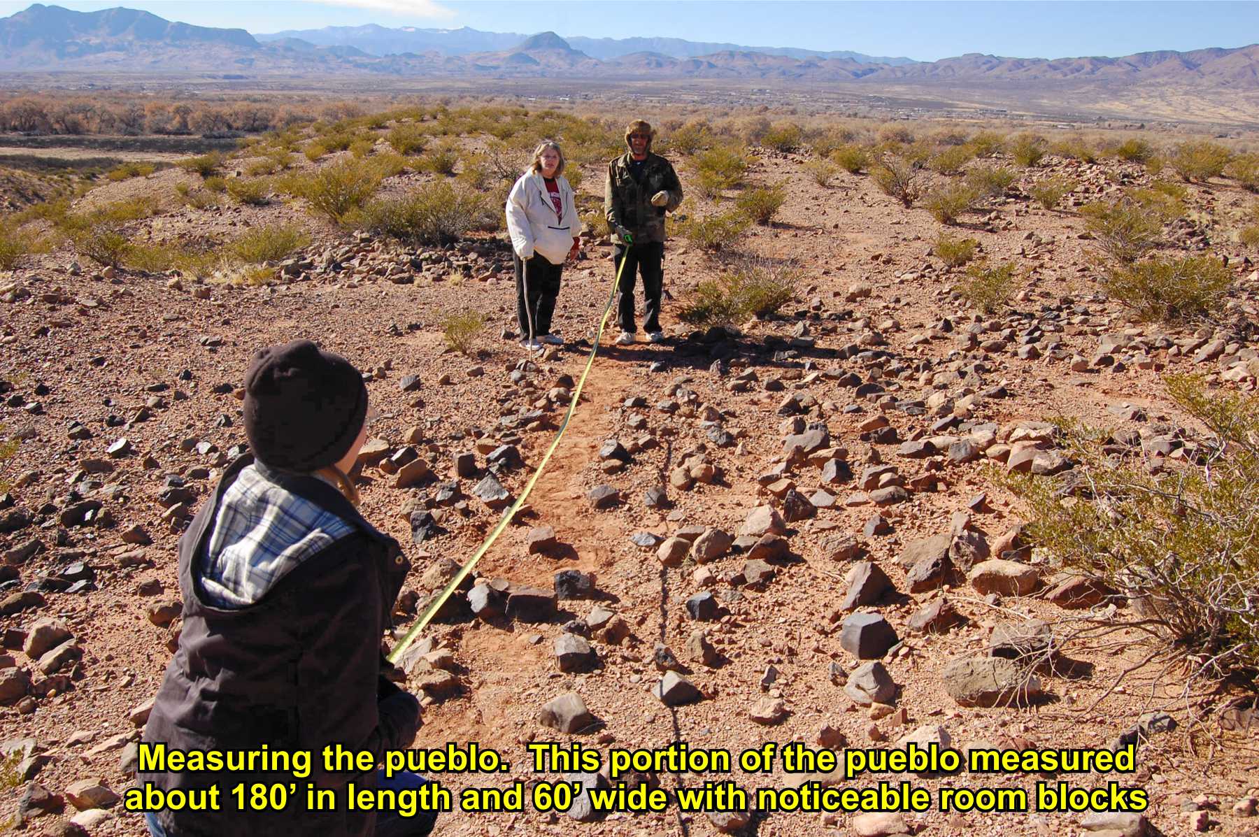
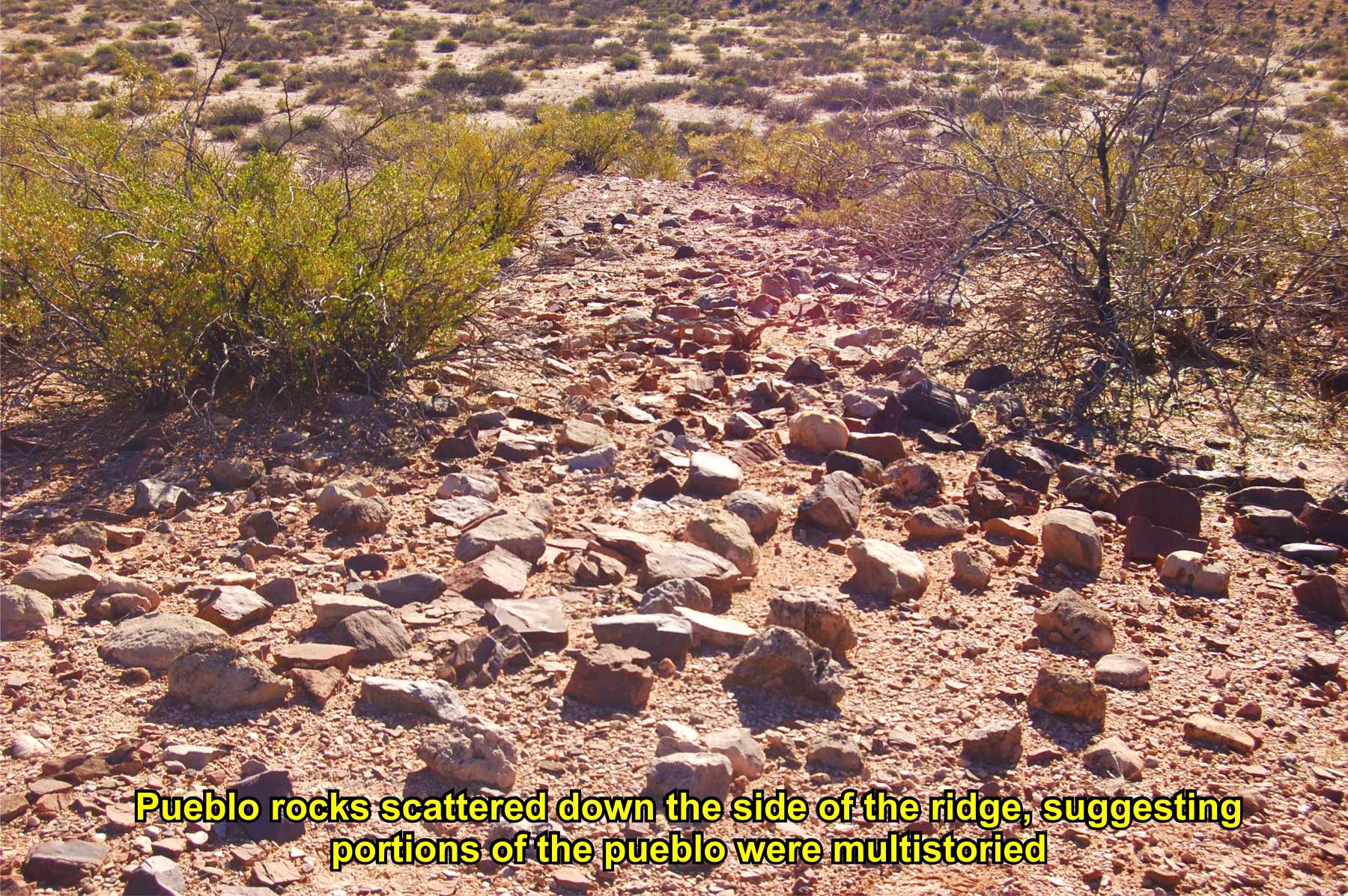
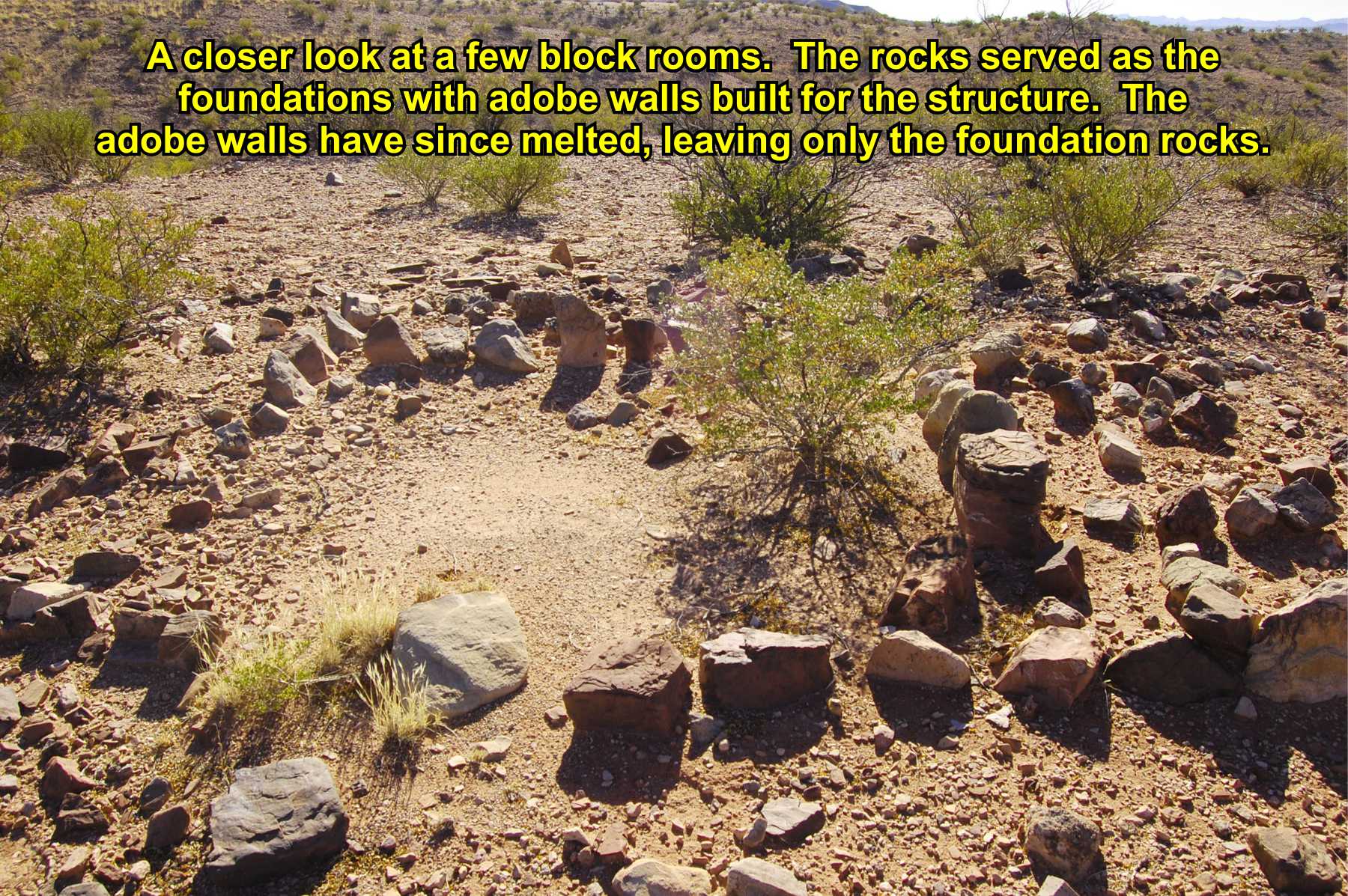
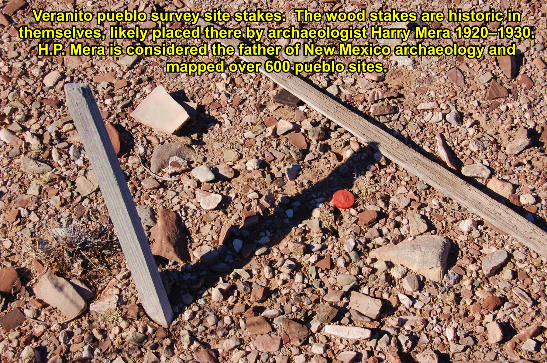
Veranito Pueblo
is near the trail in this area, though a
pre-contact pueblo (occupied 1200-1300s)
El Camino Real passes many Piro pueblos,
many abandoned by the 1600s, showing the trail closely followed established trade routes between the pueblos in this region.
Note to archaeologists: UTM position in the ARMS data for LA 6422 is in error by about 0.6 km (0.4 miles).
Wagon path runs from trail to river through bosque - possible river ford to west side
Oral history from Chuck Muncy states his father purchased the Sabino Ranch 1930s, and the property line extended from the river east "to the Camino Real." The fence line hugs the trail.

Muncy
N. Well
Town
site
Town
site
Annotated
history
Website courtesy of the Socorro County Historical Society (SCHS), P.O. Box 921, Socorro, New Mexico 87801 [
SCHS home page]
The Camino Real Mapping Project
on these web pages
is the exclusive work of the
members of the Socorro County
Historical Society and other
volunteers dedicated to
documenting, mapping, presenting,
and preserving the historic trail.
GoogleEarth
image
Drone
aerial photo
Trail photo
Notes or
documentation
LEGEND
Aerial photos with DJI Phantom 3 quadcopter camera


34°10.22'N 106°52.80'W
Elev. 4640'

34°09.87'N 106°52.49'W
Elev. 4660'

34°09.38'N 106°52.39'W
Elev. 4670'