El Camino Real de Tierra Adentro
Sponsored by Socorro County Historical Society
Maps, photos, and aerial photography of the trail
Primarily in Sierra & Socorro counties
Mesa
1
TRAIL SEGMENT ON THIS PAGE:
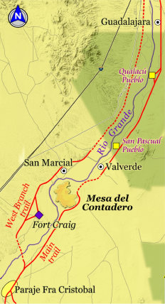
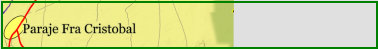
North of Paraje Fra Cristobal
and trail to Fort Craig
Website courtesy of the Socorro County Historical Society (SCHS), P.O. Box 921, Socorro, New Mexico 87801 [
SCHS home page]
The Camino Real Mapping Project
on these web pages
is the exclusive work of the
members of the Socorro County
Historical Society and other
volunteers dedicated to
documenting, mapping, presenting,
and preserving the historic trail.
GoogleEarth
image
Drone
aerial photo
Trail photo
Notes or
documentation
LEGEND
Aerial photos with DJI Phantom 3 quadcopter camera


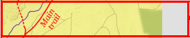

Trail to Fort Craig West Branch trail
Trail
Trail

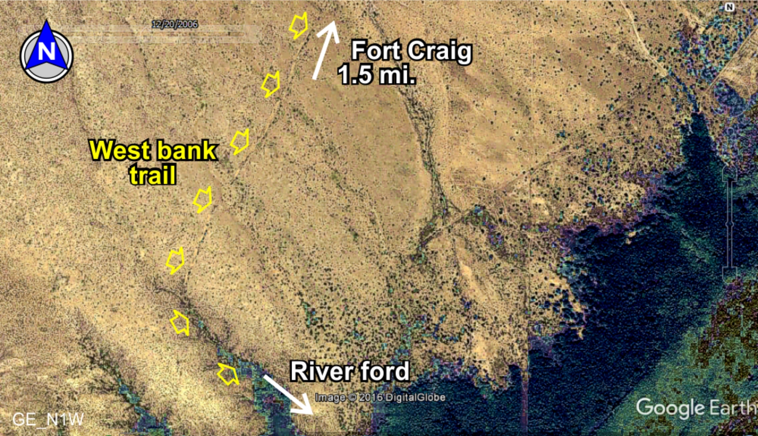
El Camino Real fords the river here to form the beginning of the West Branch trail going north. The branch along the west side
of the Rio Grande was developed in the 1850s to access
Fort Conrad and later
Fort Craig,
San Marcial, San Antonio and Socorro.
It forded the river again at Lemitar to the east bank village of
Sabino [
map] to rejoin the main trail. Portions of
the west bank trail are still visible from the ford to arouind San Marcial. Further north, the trail is indistinct due to river
floods, agriculture and development.
Trail
3D view
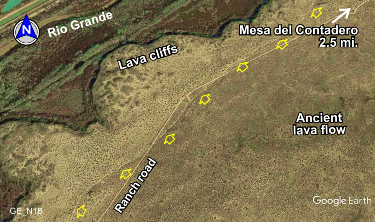
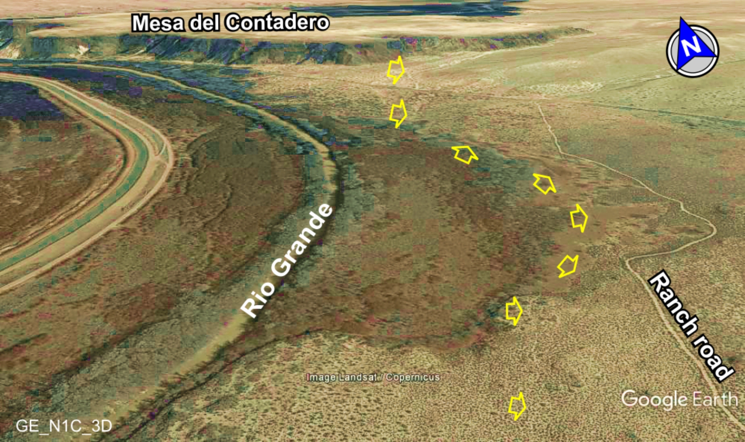
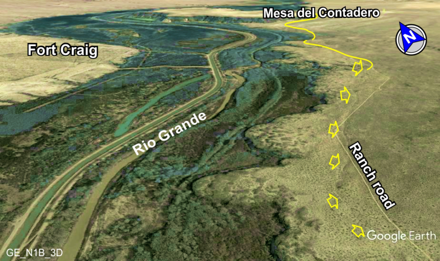
Trail to Mesa del Contadero
Northbound trail comes to the edge of the lava flows and decends into the Rio Grande floodplain for a short distance enroute
to Mesa del Contadero.
3D view
Much of the trail from
Paraje Fra Cristobal [
map] to
Mesa del Contadero [
map] is over a huge lava flow extending to the
river. The lava clearly dictates the route of the trail in this region, winding and curving to avoid the hard lava and outcroppings by
following stretches of softer dirt and sand.
3D view
33°38.03'N 106°59.38'W
33°36.81'N 107°02.61'W
33°36.28'N 107°00.64'W
33°35.81'N 106°58.41'W
Trail
Power
line
crossing
33°35.29'N 107°01.95'W
MES1
MES2
MES3
MES4
PAR2
S1