El Camino Real de Tierra Adentro
Sponsored by Socorro County Historical Society
Maps, photos, and aerial photography of the trail
Primarily in Sierra & Socorro counties
Mesa
4
TRAIL SEGMENT ON THIS PAGE:
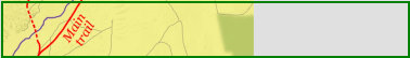
South of San Pedro/Guadalajara
and Qualacú Pueblo area
Website courtesy of the Socorro County Historical Society (SCHS), P.O. Box 921, Socorro, New Mexico 87801 [
SCHS home page]
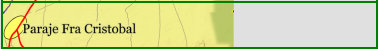
Valverde townsite
The Camino Real Mapping Project
on these web pages
is the exclusive work of the
members of the Socorro County
Historical Society and other
volunteers dedicated to
documenting, mapping, presenting,
and preserving the historic trail.
33°47.06'N 106°51.29'W
33°52.19'N 106°49.93'W
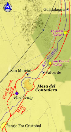
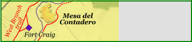
Mesa del Contadero north to Guadalajara/San Pedro


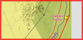
QUALACÚ PUEBLO
The Oñate expedition camped near the Qualacú pueblo in May-June 1598, though appears abandoned prior to the 1680 Pueblo
Revolt. It is one of the few Piro pueblos to receive partial excavation in 1987. The trail does not enter the pueblo, bypassing it
about 1/2 mile to the east.
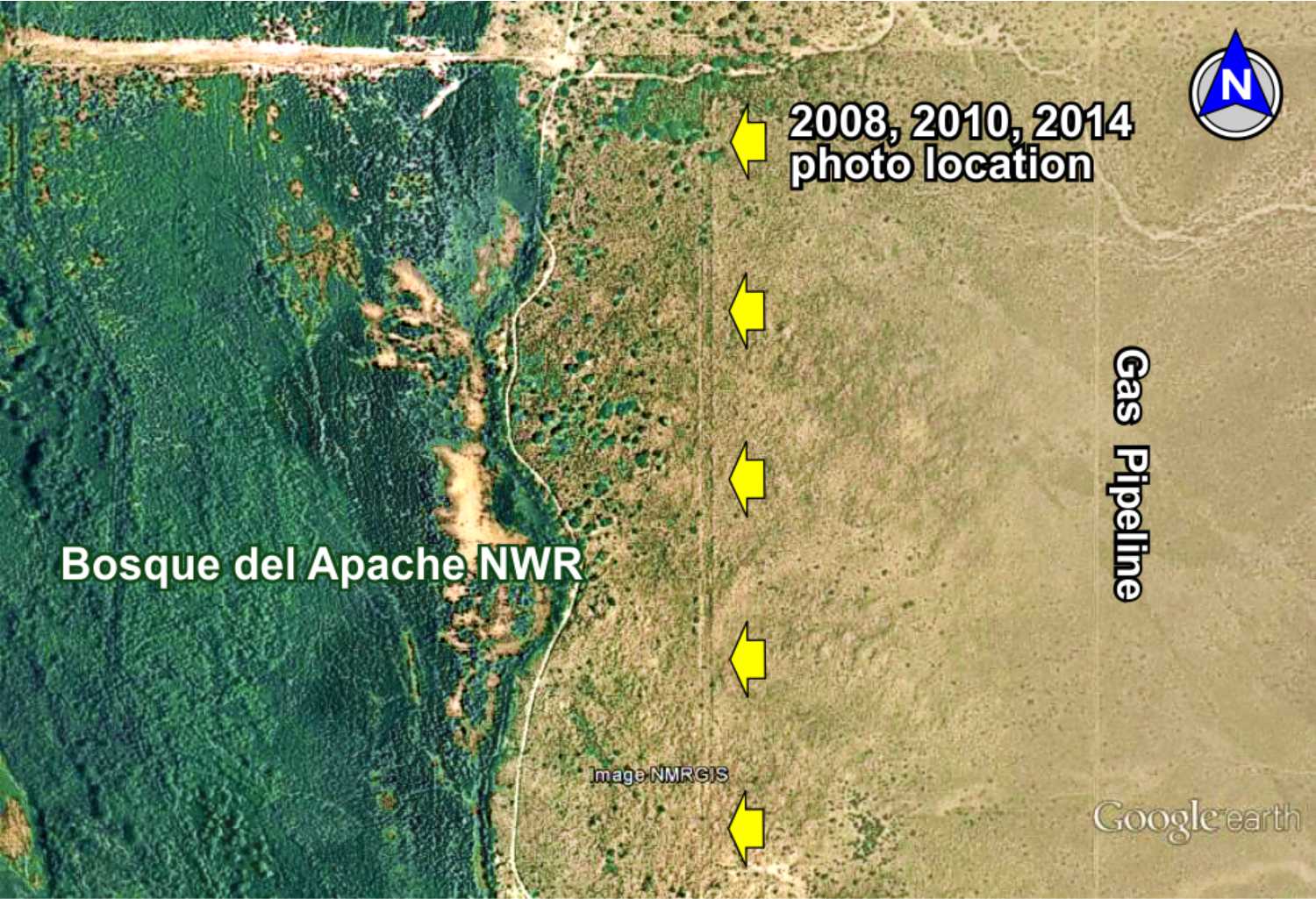
Pipeline crossing

33°48.90'N 106°49.97'W
Bosque trail
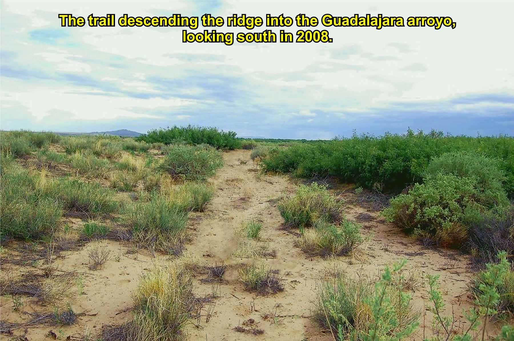
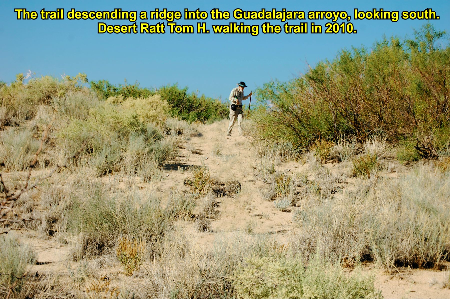
Disappearing Trail. This once pristine section of the trail is now completely overgrown with wild flowers and vegetation due to heavy
spring rains in 2014. Compare the views of the trail in 2008, 2010, and 2014. Vegetation overtaking the trail is a common
problem causing large sections of El Camino Real to no longer be visible in some areas. GoogleEarth image from 2013.


2008
2010
2014
NOTE: Locked gate at Bosque del Apache NWR northern entrance. Motorized travel on refuge not allowed without permission. Foot
traffic or hiking allowed.
Route
direction
change
Bosque Trail. The trail through the Bosque del Apache NWR (east side) is across relatively flat desert land.
The trail is visible on GoogleEarth in many places and quite indistinct in others.


MES1
MES2
MES3
MES4
PAR2
S1
GoogleEarth
image
Drone
aerial photo
Trail photo
Notes or
documentation
LEGEND
Aerial photos with DJI Phantom 3 quadcopter camera