El Camino Real de Tierra Adentro
Sponsored by Socorro County Historical Society
Maps, photos, and aerial photography of the trail
Primarily in Sierra & Socorro counties
Mesa
2
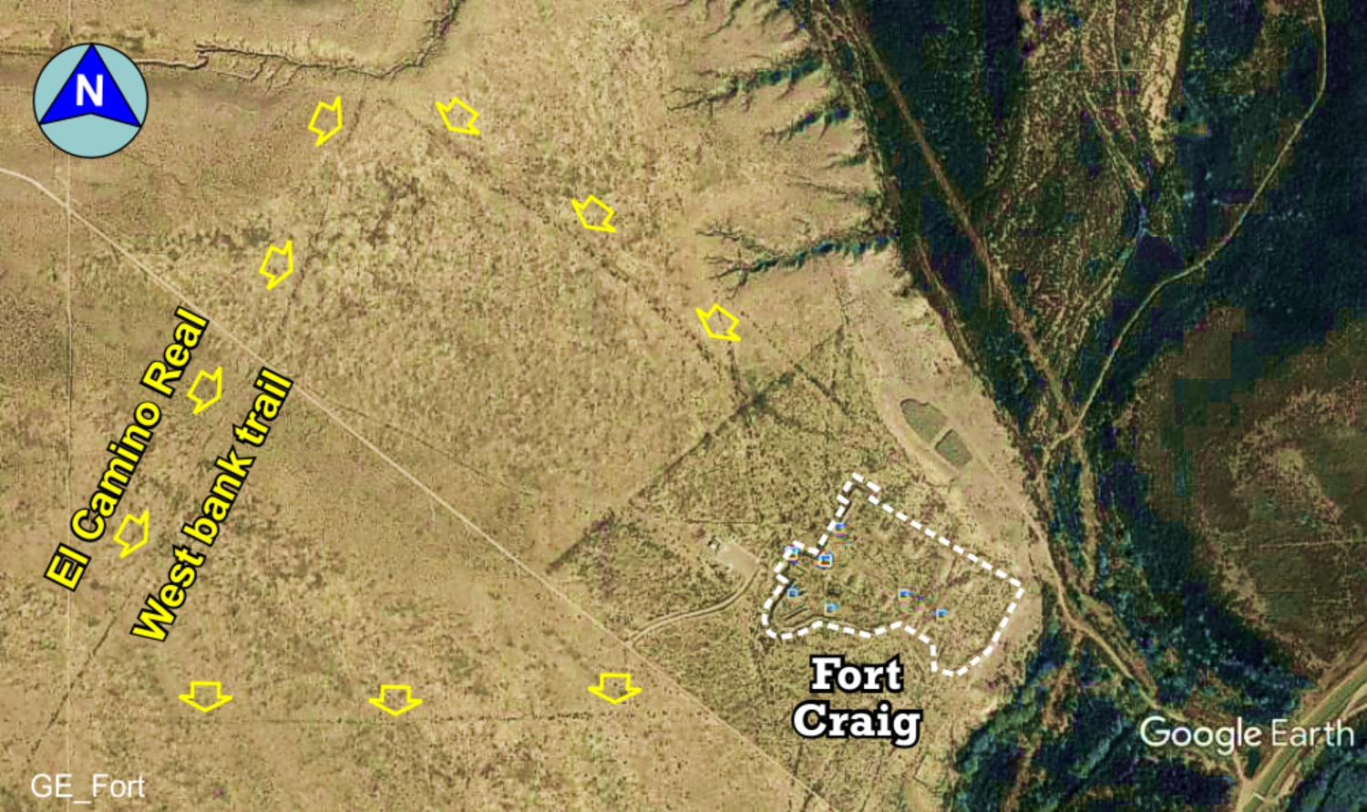
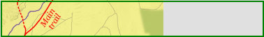
TRAIL SEGMENT ON THIS PAGE:
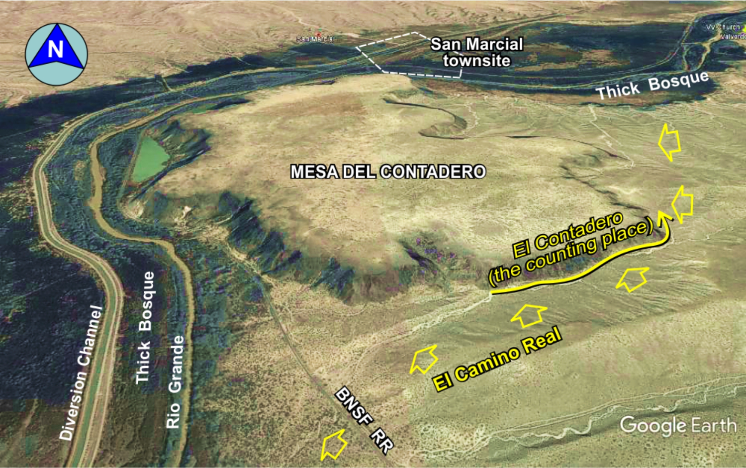
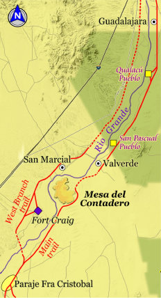
Mesa del Contadero (The "Counting Place"),
and Fort Craig
Website courtesy of the Socorro County Historical Society (SCHS), P.O. Box 921, Socorro, New Mexico 87801 [
SCHS home page]
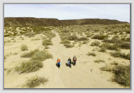
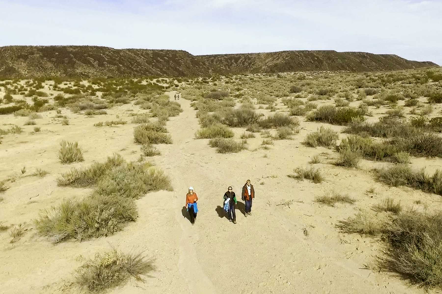
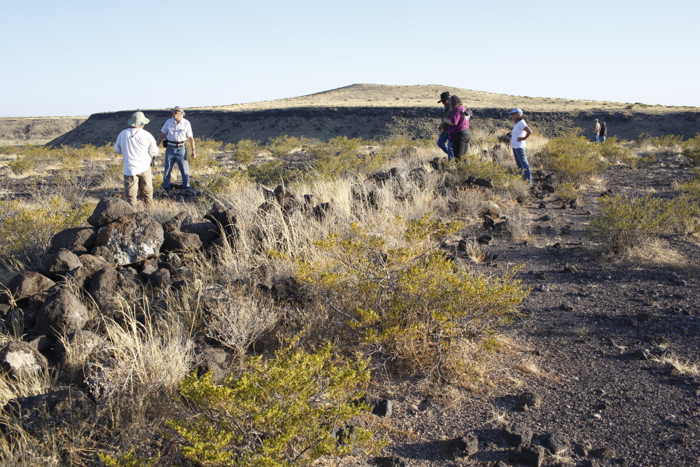
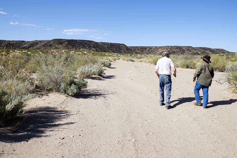
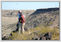
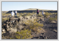
National Park Service (NPS) personnel walking the trail on the south flank of the mesa.
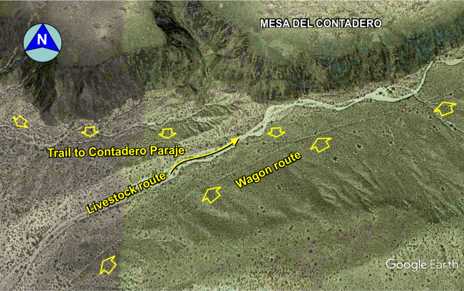
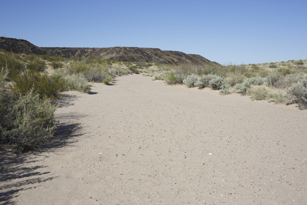
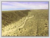
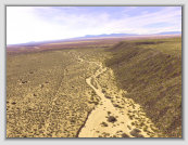
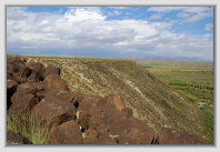
Livestock trail on left, wagon trail on right; looking NE
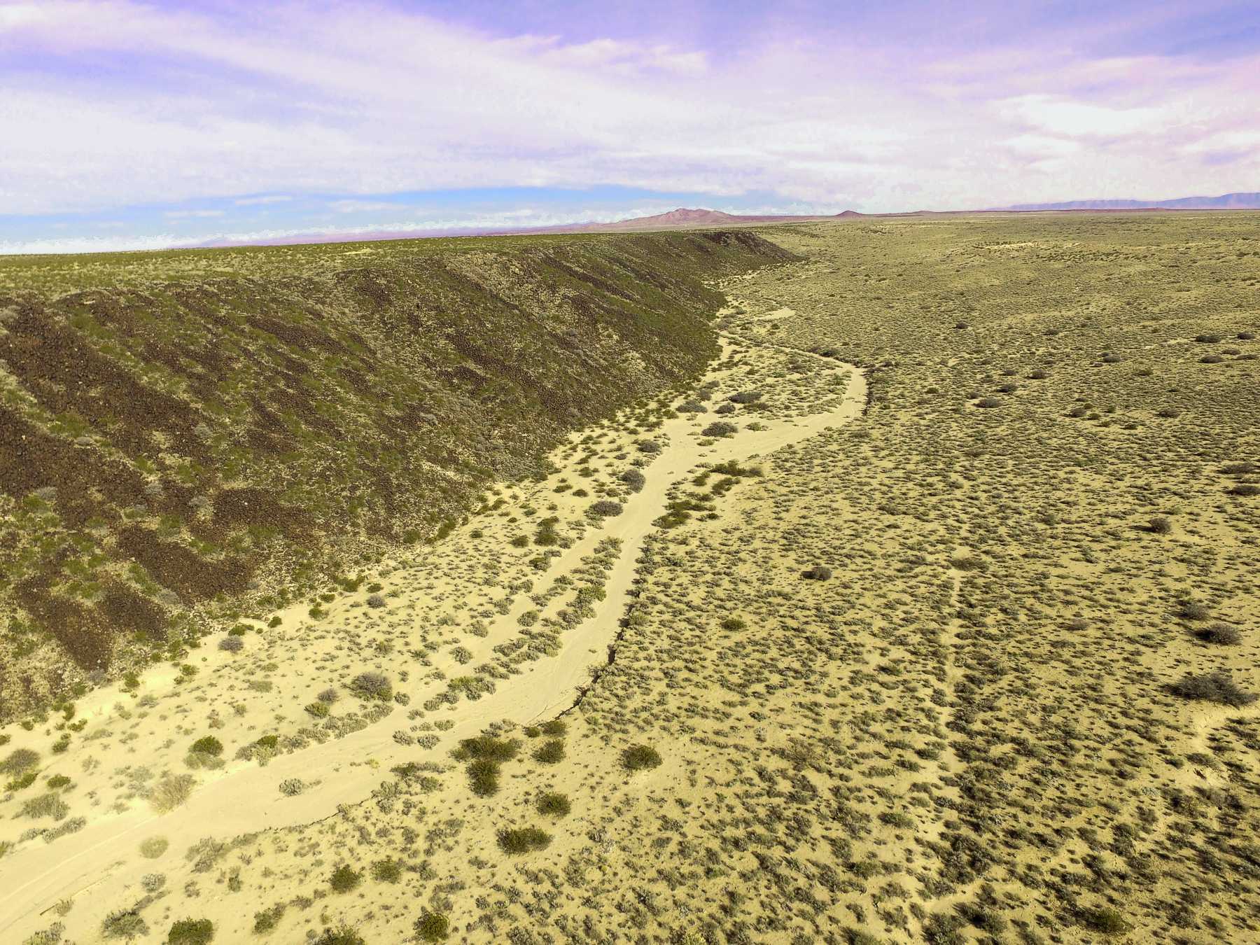
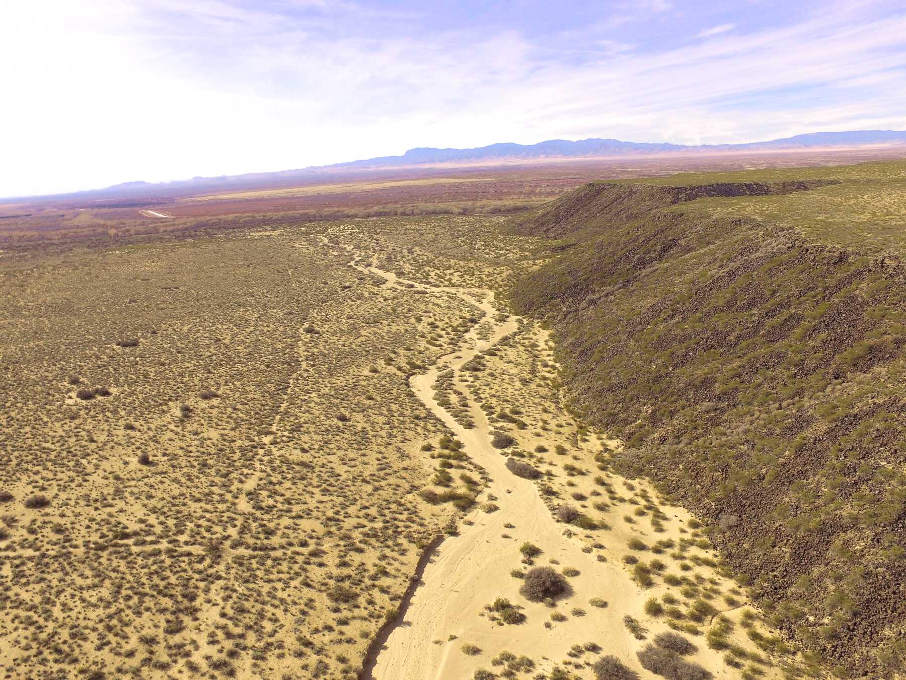
Livestock and wagon trail further to the northeast.
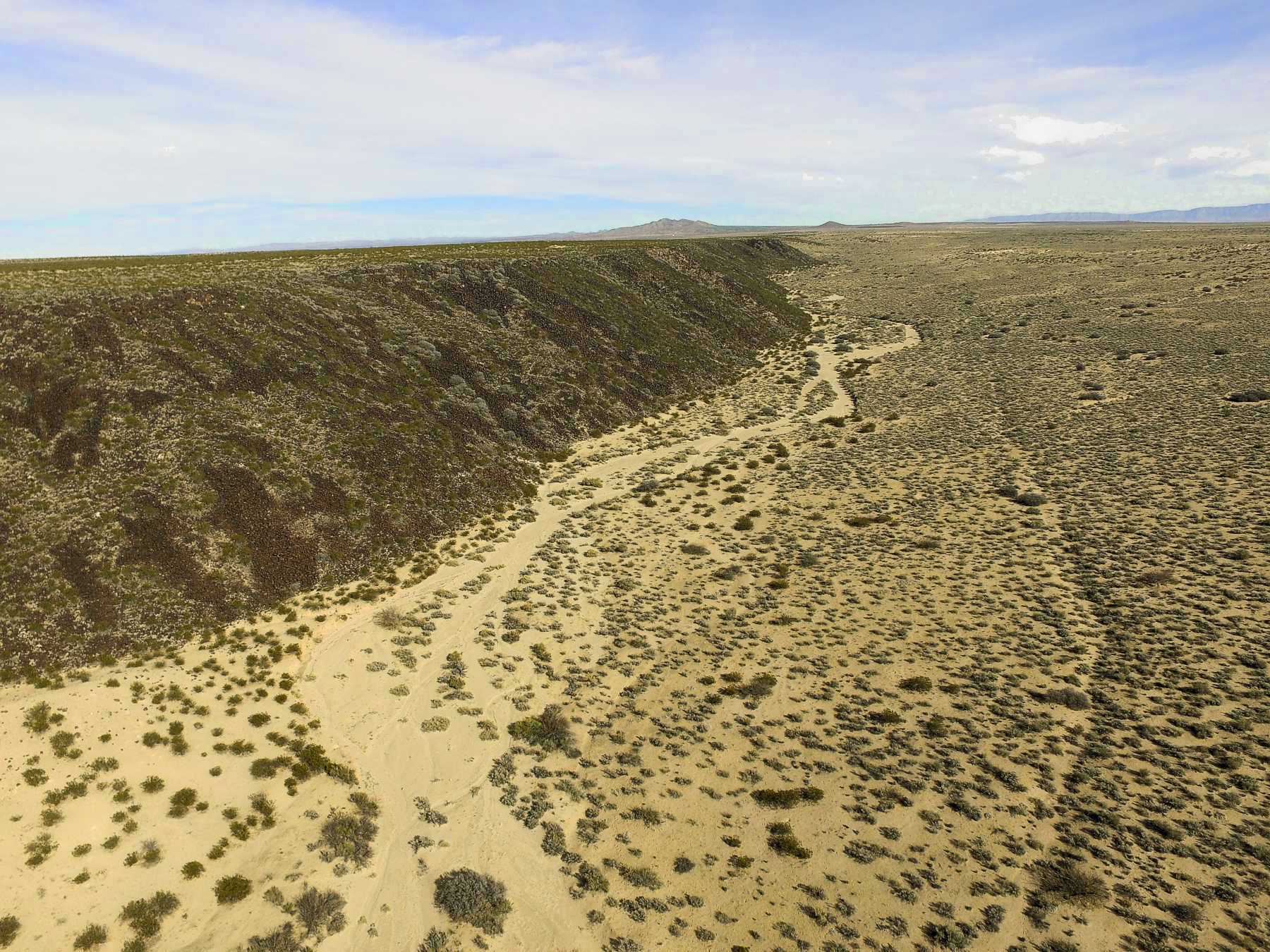
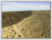
Mesa del Contadero trail looking towards the Rio Grande (southwest).
Photos: David Love
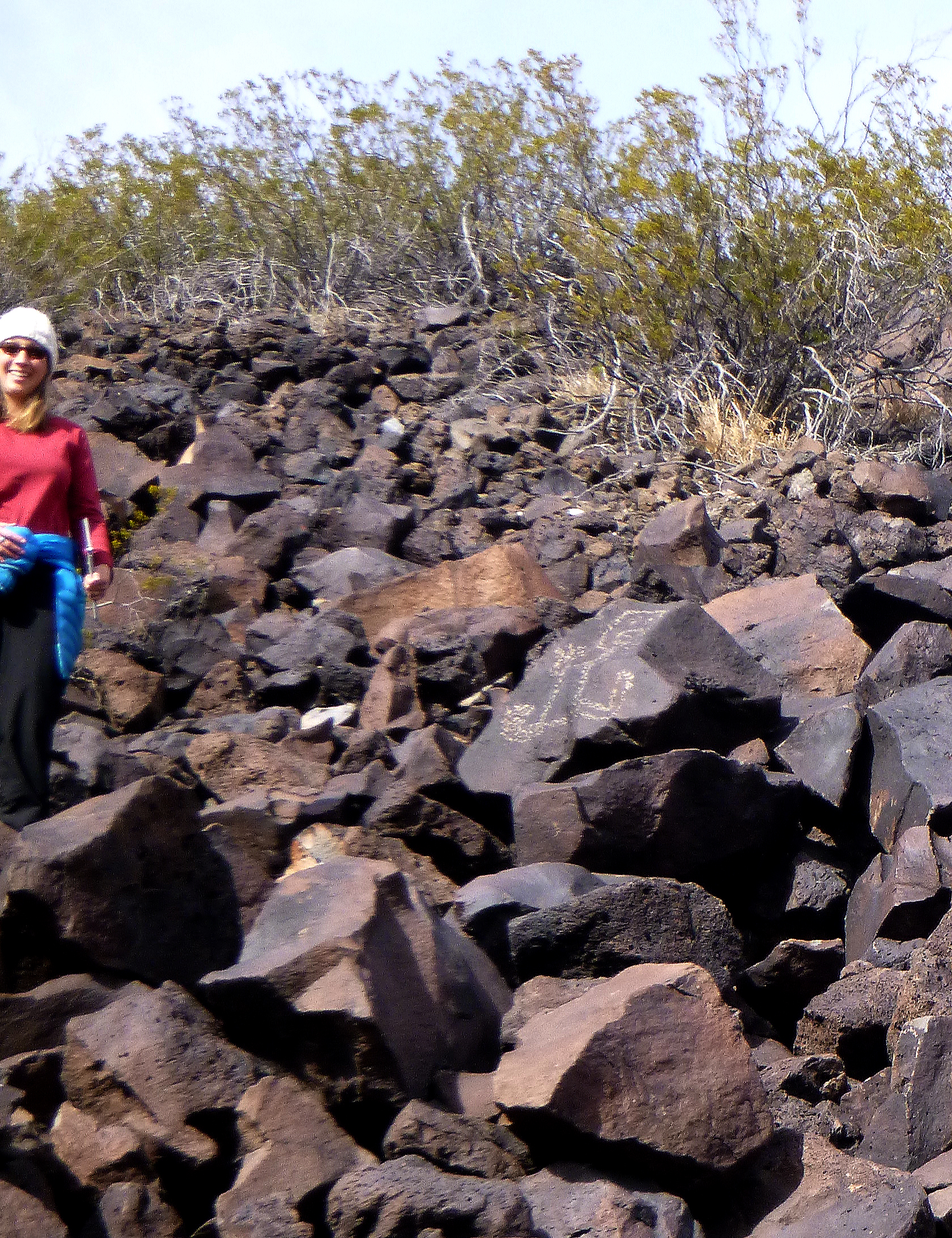
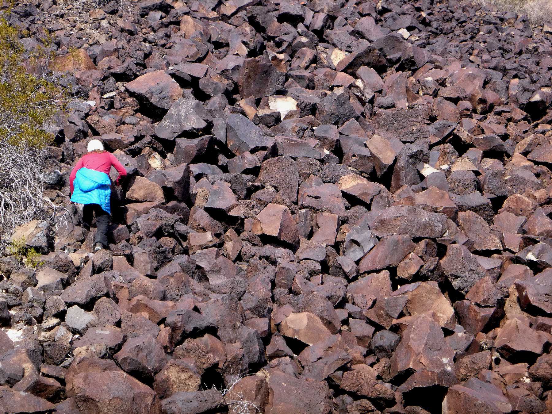
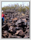
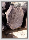
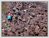
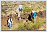
Climbing the sides of Mesa del Contadero shows the relative sizes of the fallen lava debris and difficulty to scale.
PHOTO GALLERY: The trail around Mesa del Contadero
Click photos to enlarge
Photos: David Love
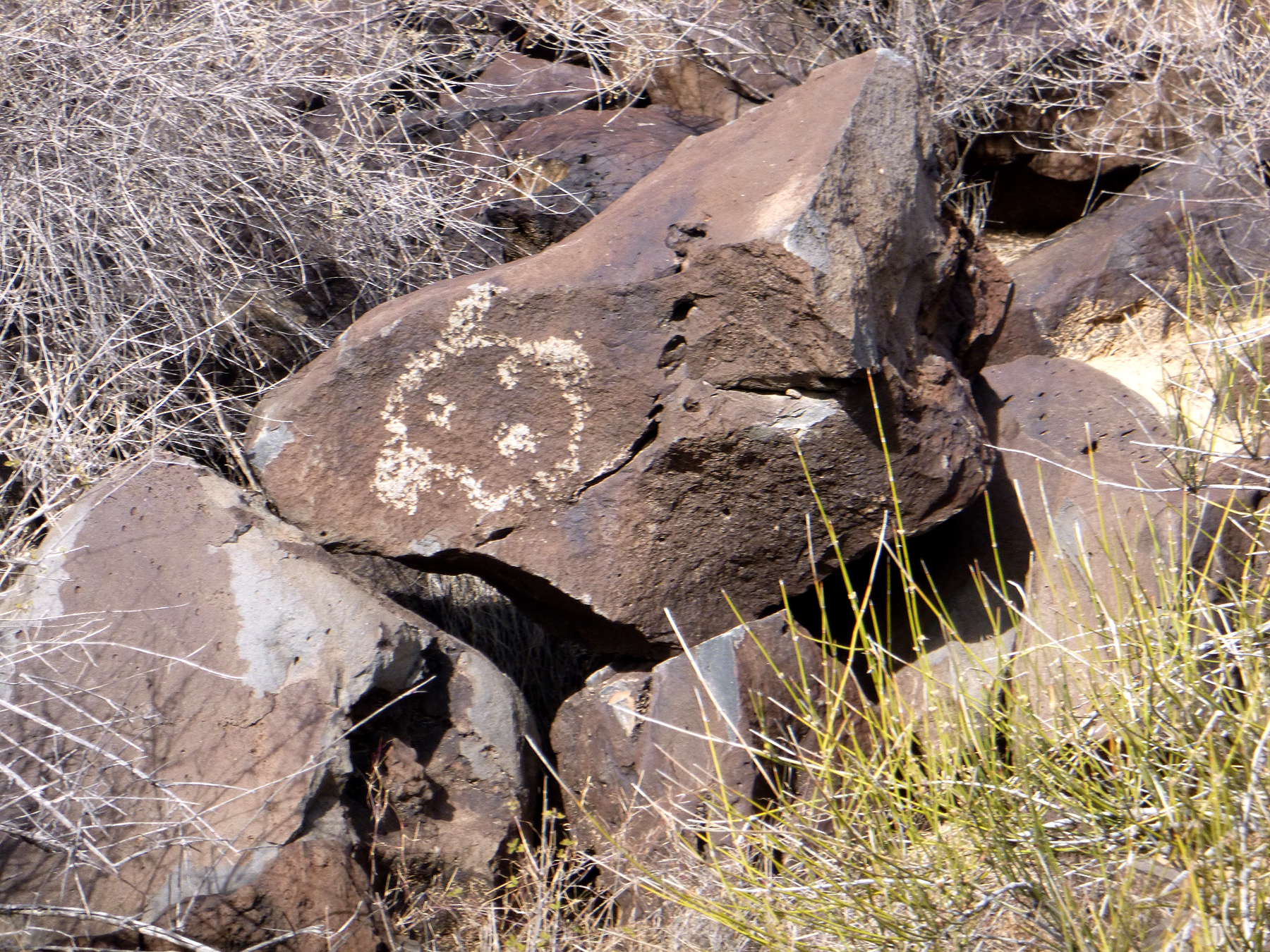
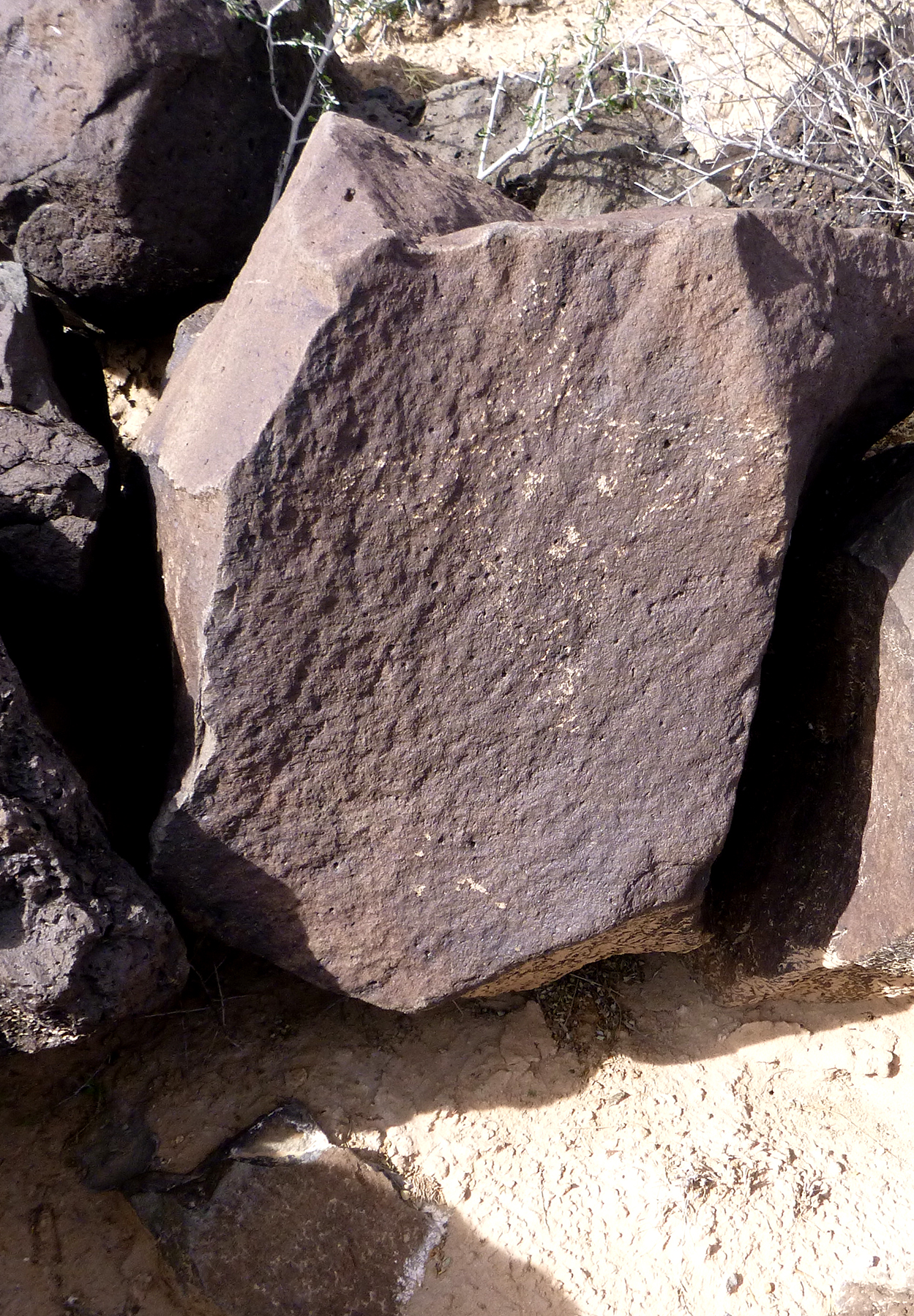
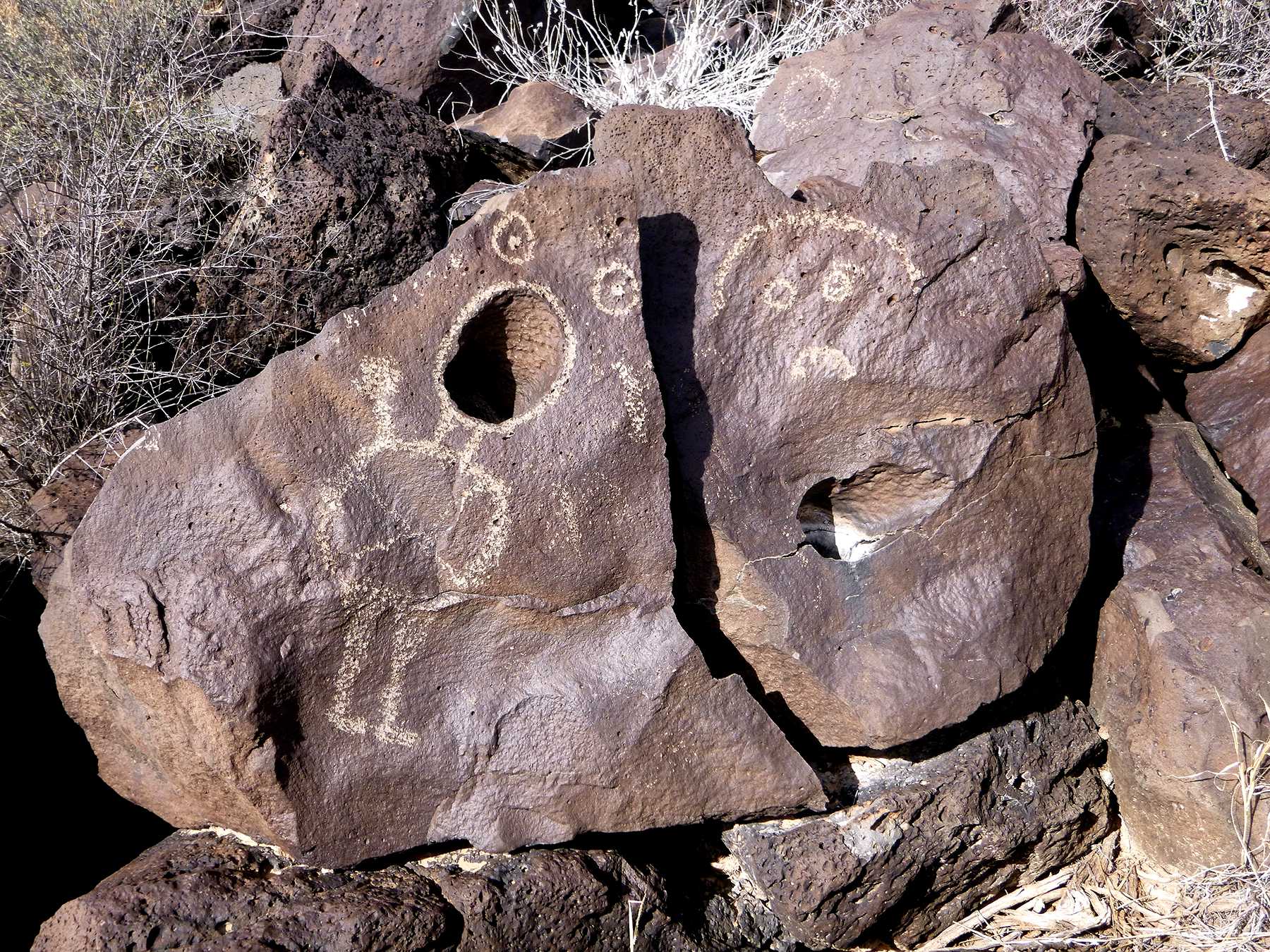
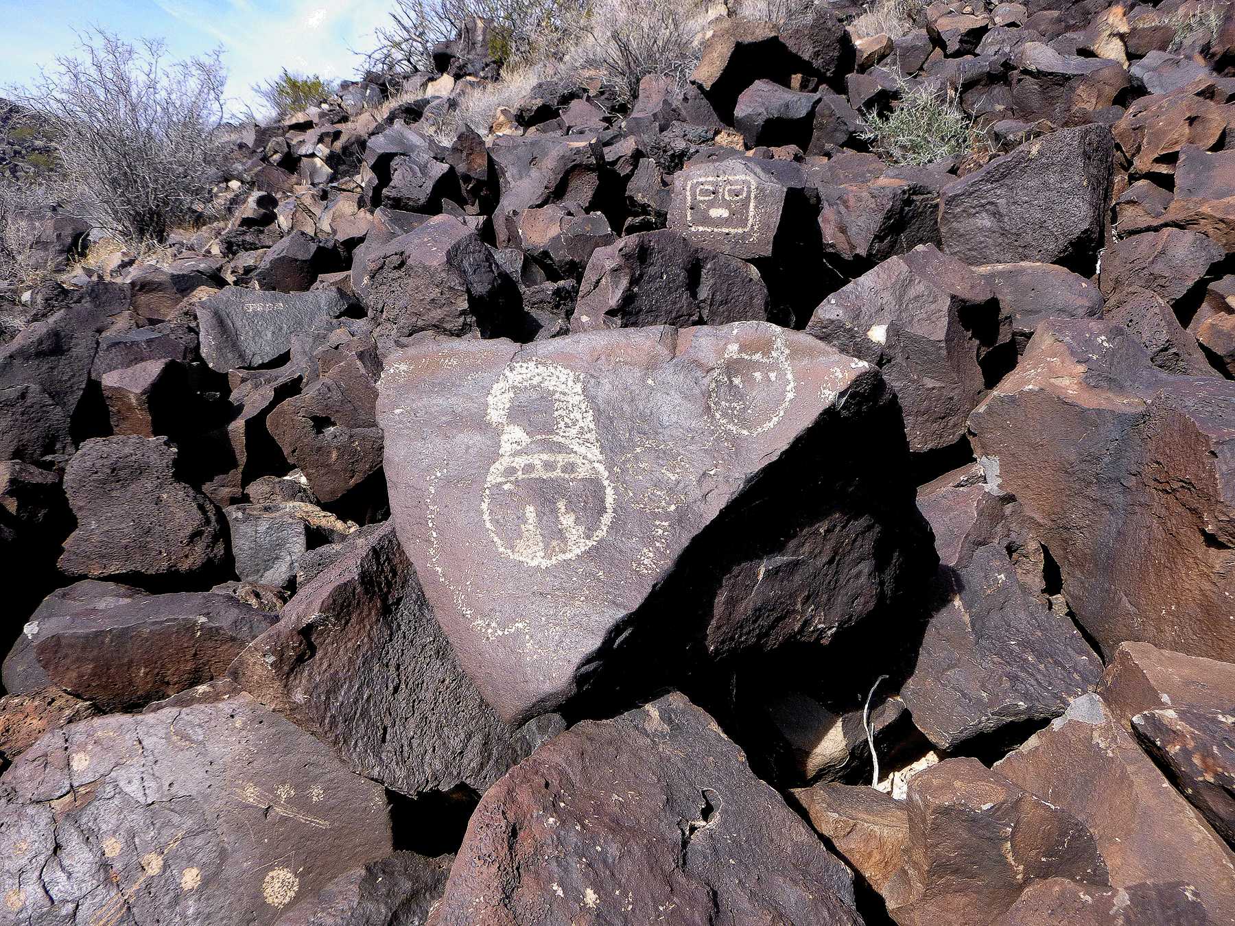
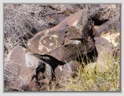
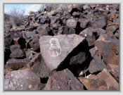
Some of the petroglyphs found on the lava rocks along the side face of Mesa del Contadero. There are numerous petroglyphs on the rocks along the entire circumference of the mesa.
Mesa trail from near the the Contadero paraje.
View looking north from atop Mesa del Contadero.
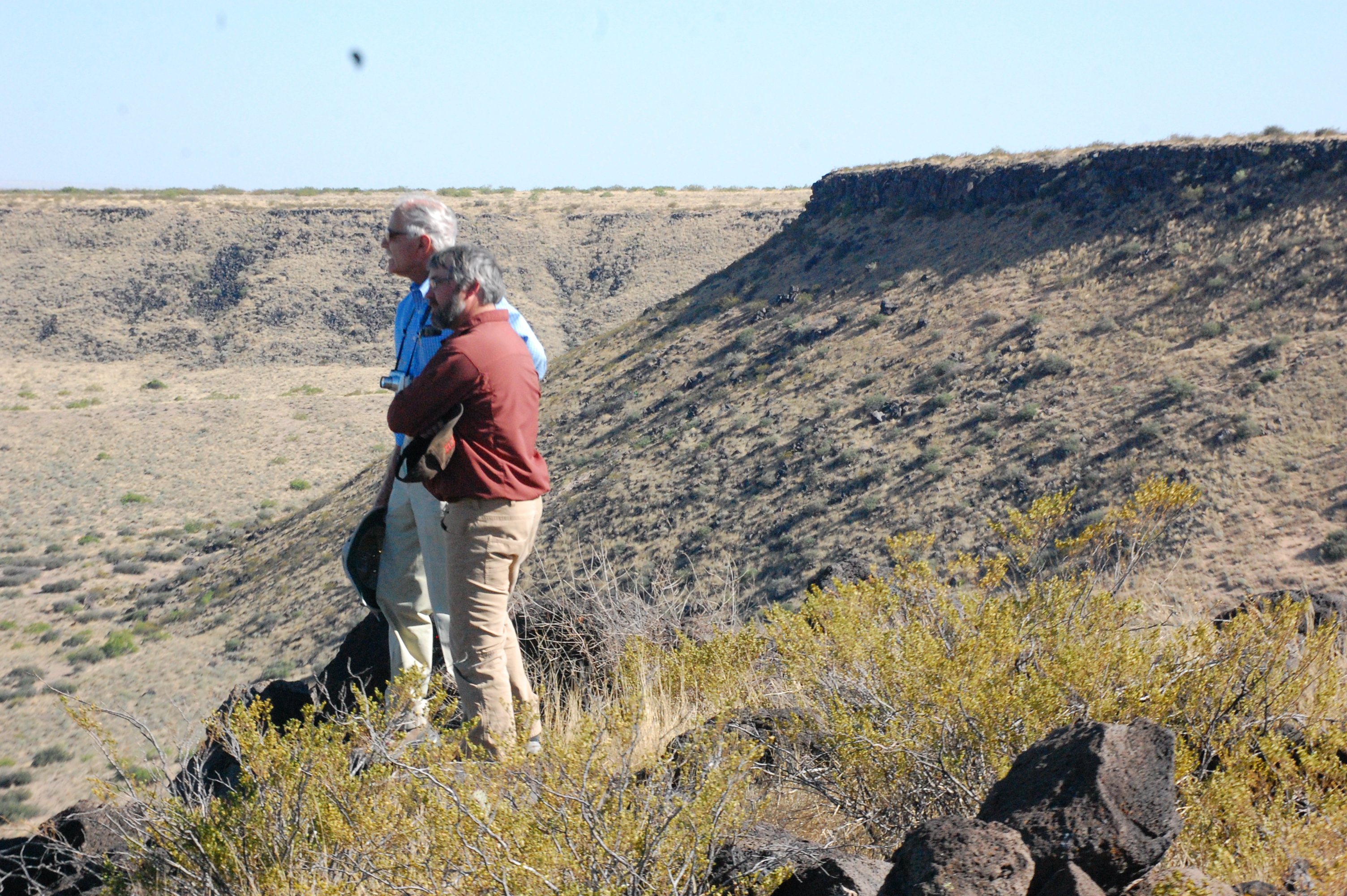
Admiring the view from the northeast flank of the mesa.
Climbing the lava rocks at the top of the mesa with nearby pithouse depressions.
Photo: Peggy Hardman
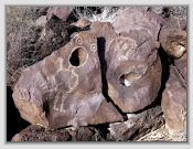
Exploring the lava walls and fortifications atop the mesa of unknown affinity.

3D
view
Trail
Trail


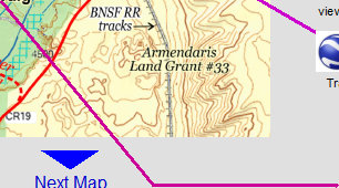
Armendaris
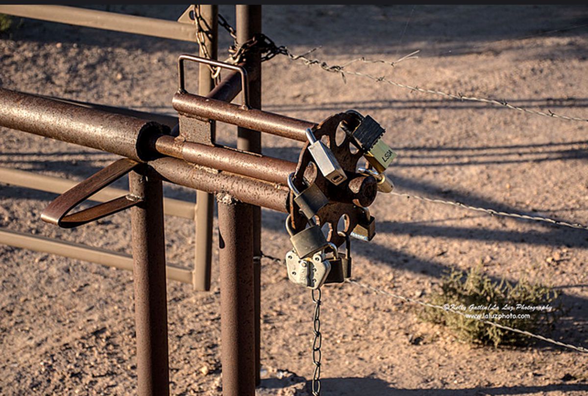
locked north gate
The trail descended to Valverde, paraje and village, along the river bank, now buried under many feet of silt due to the numerous
river floods in this area. The trail reemerges just south of the Valverde townsite [map].
Battle at Valverde was fought
in the valley north of Mesa del Contadero (Black Mesa) between Union soldiers from Fort Craig and Confederate forces on
Feb. 21, 1862.
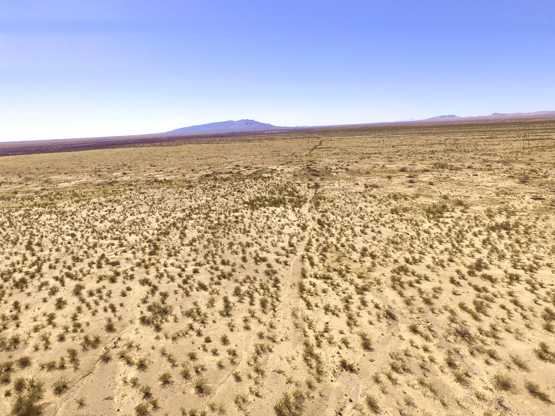
Drone photos
of the trail
The Camino Real Mapping Project
on these web pages
is the exclusive work of the
members of the Socorro County
Historical Society and other
volunteers dedicated to
documenting, mapping, presenting,
and preserving the historic trail.
33°39.59'N 106°57.81'W
Mesa Trail
33°38.73'N 106°59.00'W
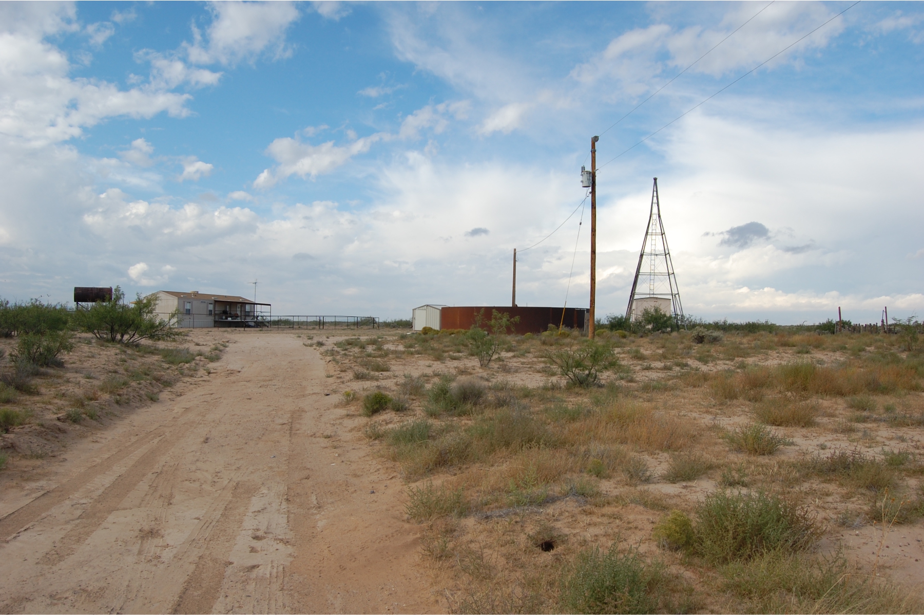
No public entry allowed without Armendaris Ranch permission. Mesa Camp is the northernmost ranch camp of the Armendaris Ranch.
Built in the 1880s when this was the Diamond A Ranch of the Victorio Land and Cattle Company. Ranch hands lived here when cattle were
grazed in the area. Today, part of Ted Turner's Armendaris Ranch.
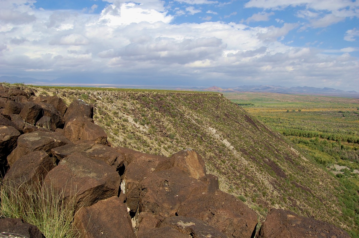
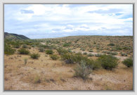
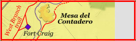
Mesa del Contadero was the "counting place" where the livestock accompanying the caravans were counted to determine how
many perished or were slaughtered on the trail, and in the 1600-1820s, taxes levied on the animals brought into Nueva España (New
Spain). There are two trails around the mesa: one for the livestock, funneled between the mesa and hills, and the wagon trail running
roughly parallel to the animal route.
33°39.15'N 107°01.30'W
33°38.34'N 107°01.65'W
Trail south
of Ft. Craig
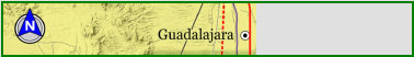
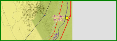
Mesa del Contadero north to Guadalajara/San Pedro


MES1
MES2
MES3
MES4
PAR2
S1
Ft. Craig
trails
North
trail
South
trail
Fort Craig trails
Trail north
of Ft. Craig
Fort Craig was a popular stop on El Camino Real for the protection of the fort and the services available. At Fort Craig, there
were doctors, woodsmiths for wagon repairs, a Sutler store for food and supplies, and other services. For northbound travelers, Fort
Craig was a welcome stop after many days on the Jornada del Muerto. For southbound travelers, it was at Fort Craig where
Army soldiers were assigned to escort the caravan through the Jornada del Muerto to Fort Selden near Dona Ana.
GoogleEarth
image
Drone
aerial photo
Trail photo
Notes or
documentation
LEGEND
Aerial photos with DJI Phantom 3 quadcopter camera

.mp4
3:08 min
57MB
.mp4
1:47 min
33MB
1126/18 2.2