El Camino Real de Tierra Adentro
Sponsored by Socorro County Historical Society
Maps, photos, and aerial photography of the trail
Primarily in Sierra & Socorro counties
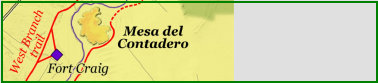
Mesa
3
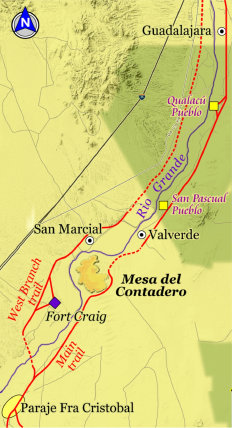
TRAIL SEGMENT ON THIS PAGE:
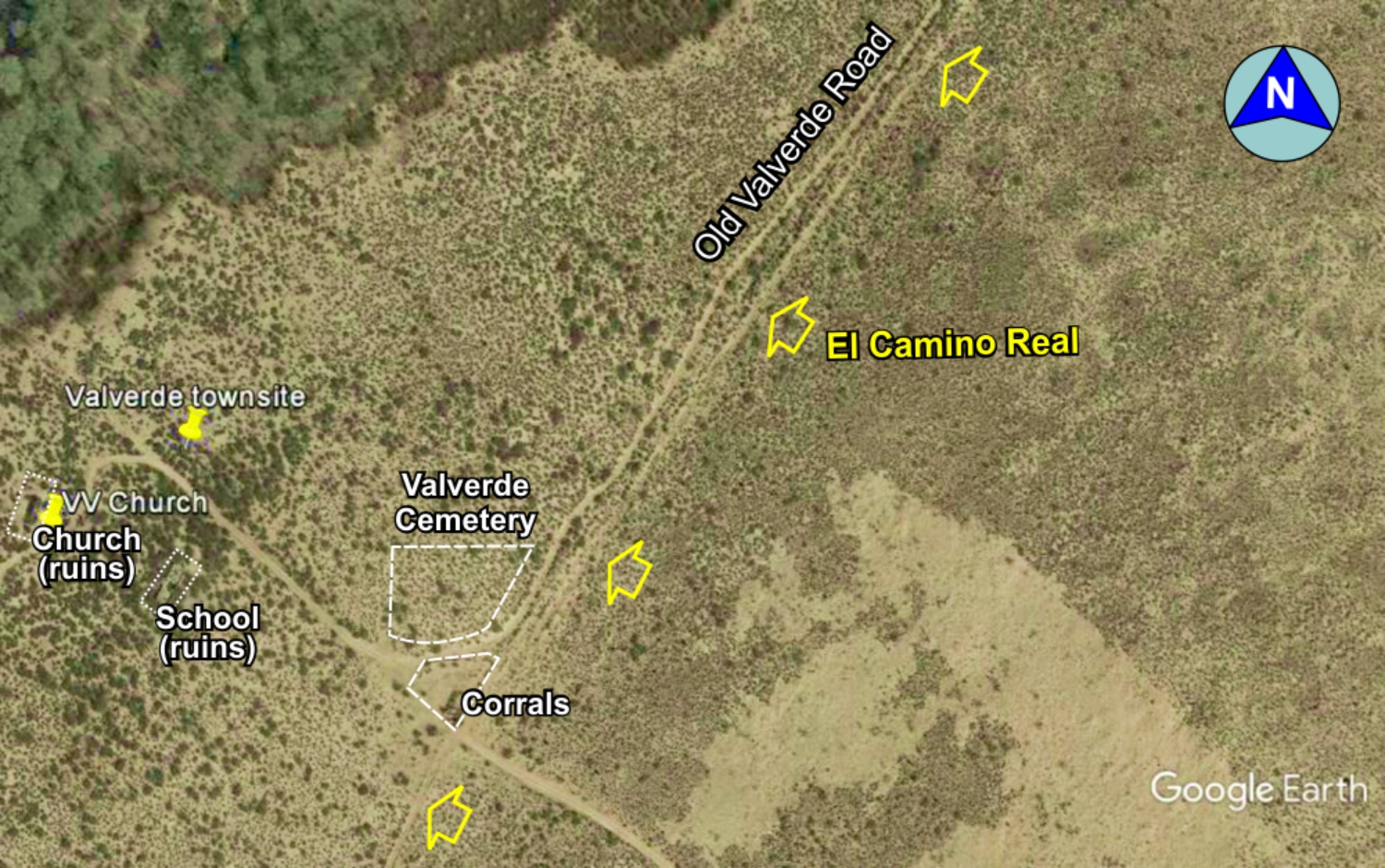
North of Mesa del Contadero,
Valverde and San Marcial
Website courtesy of the Socorro County Historical Society (SCHS), P.O. Box 921, Socorro, New Mexico 87801 [
SCHS home page]
Mesa del Contadero north to Guadalajara/San Pedro

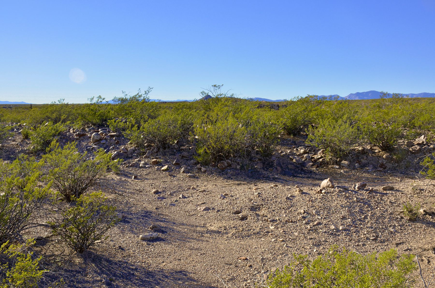
Trail
Trail
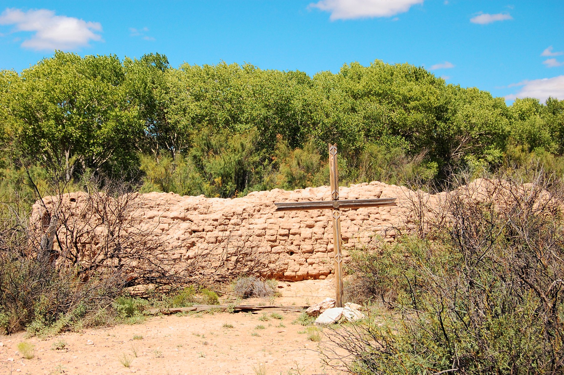
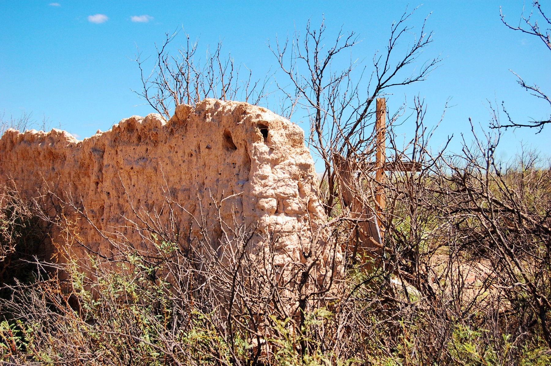
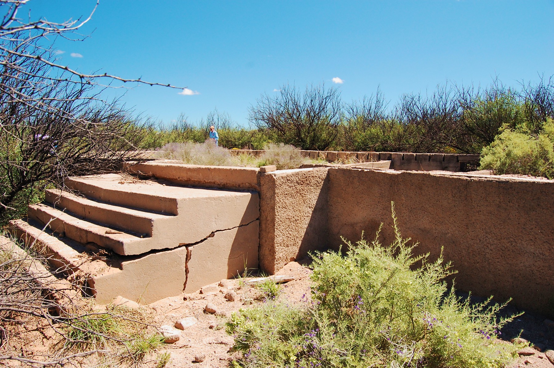
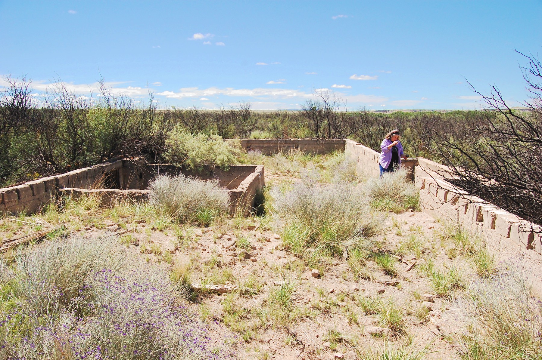
Church ruins
School ruins
Cemetery
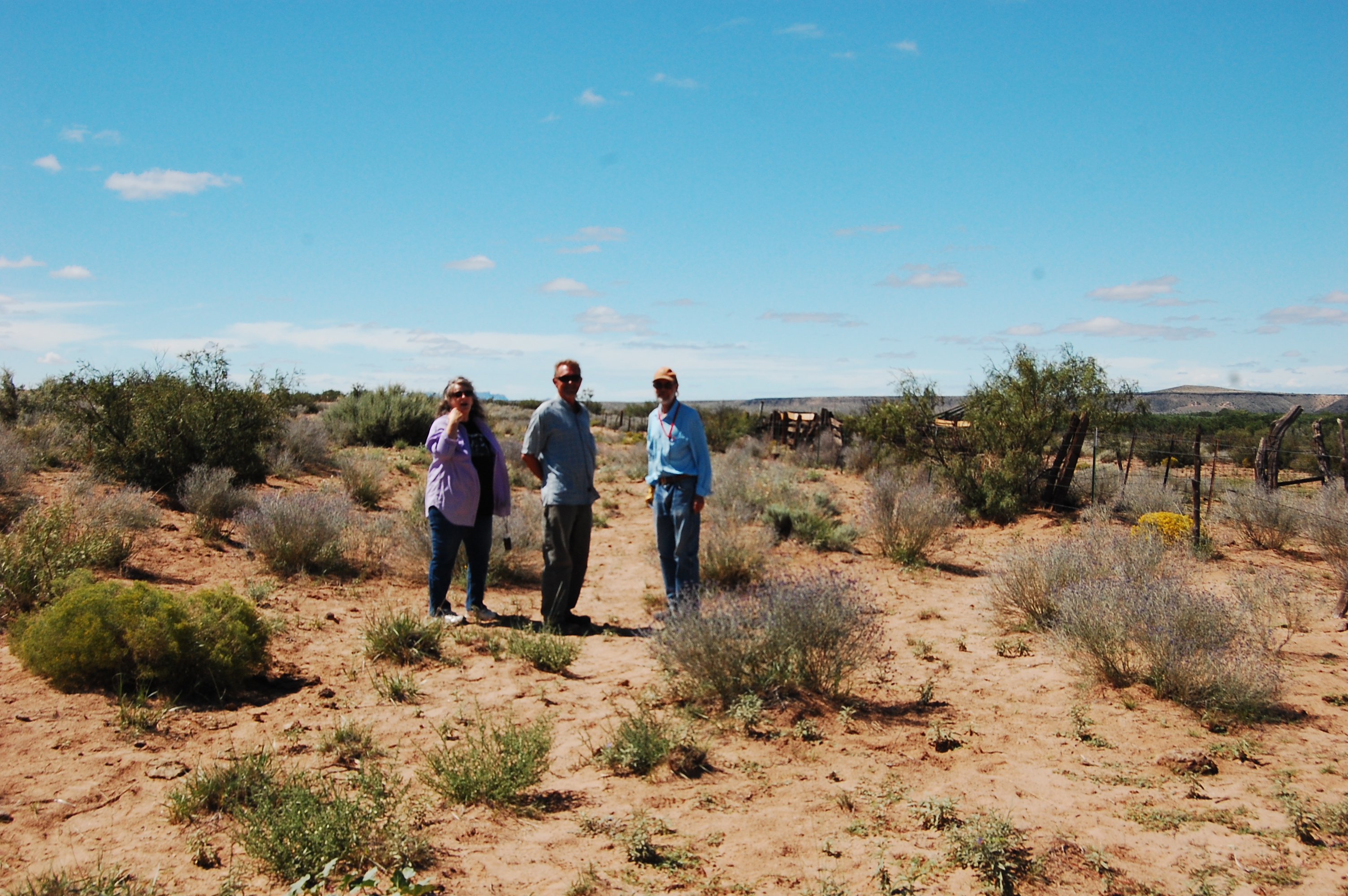
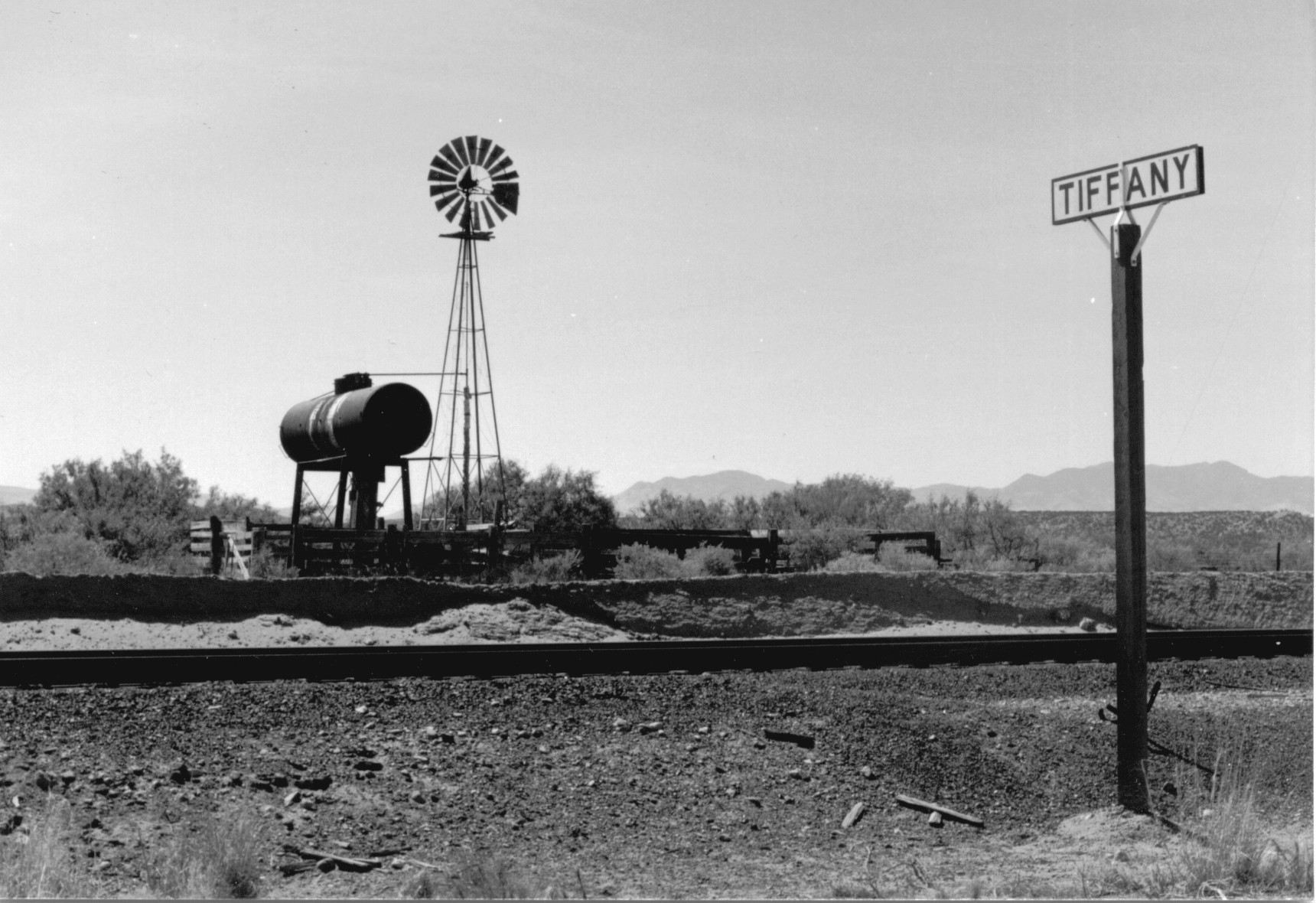
Valverde was the site of Pedro Armendaris' hacienda upon being granted the Armendaris Land Grant in 1819. He built his hacienda on
El Camino Real trail and offered meager services to travelers. A small town formed nearby in the 1850s on the trail in support
of Fort Conrad (near Tiffany across the river) and grew into a larger agricultural and ranching community after the Civil War. Valverde
was destroyed in the 1929 flood, rebuilt, and destroyed again in the 1937 flood and abandoned ever since.
Valverde trail descended
to the paraje on the river bank, now buried under many feet of silt due to the numerous river floods in this area. The trail
reemerges just south of the Valverde townsite.
Valverde townsite
The Camino Real Mapping Project
on these web pages
is the exclusive work of the
members of the Socorro County
Historical Society and other
volunteers dedicated to
documenting, mapping, presenting,
and preserving the historic trail.


33°42.05'N 106°55.67'W

SAN PASCUAL PUEBLO
San Pascual is the largest known Piro pueblo consisting of nine roomblocks, some multi-story sections, for
a total of about 750 rooms. It is recorded by various early travelers as being visible from Mesa del Contadero and Senecú pueblo.
Oddly, the pueblo was not visited by Oñate in 1598 or mentioned in his journals.
SENECÚ (TZENOCUE) PUEBLO
The southernmost occupied pueblo encountered by the Oñate expedition in 1598. It was one of four Piro
mission pueblos, ordered built in 1626. It was famous for its vineyards of mission grapes and an organ in the church, though abandoned
by the 1680 Pueblo Revolt. It's exact location is not known, likely claimed by the numerous river floods in this area. It was located
somewhere in the vicinity of San Marcial on the west bank of the river.
33°43.08'N 106°54.59'W


MES1
MES2
MES3
MES4
PAR2
S1
GoogleEarth
image
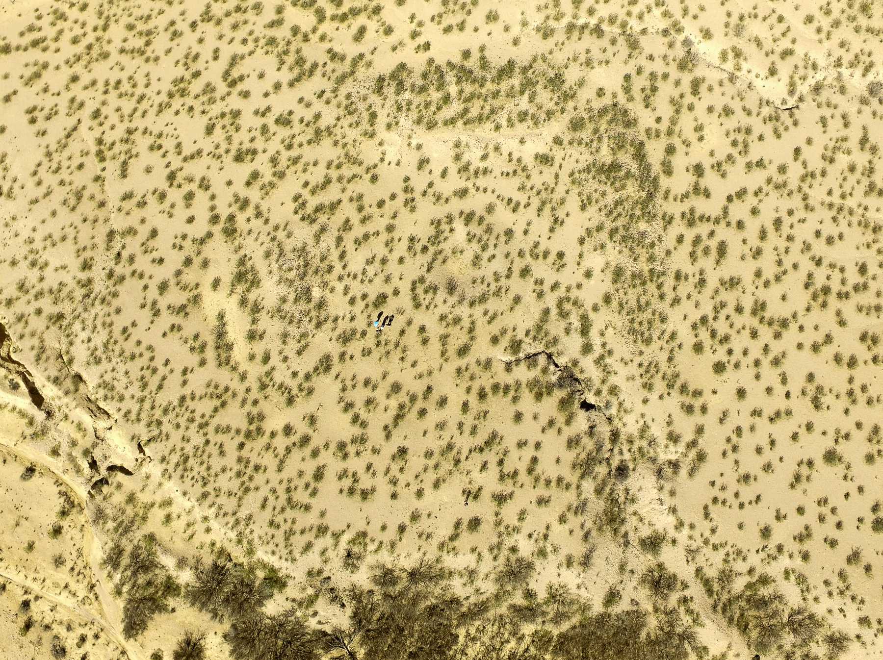
Drone
aerial photo
Trail photo
Notes or
documentation
LEGEND
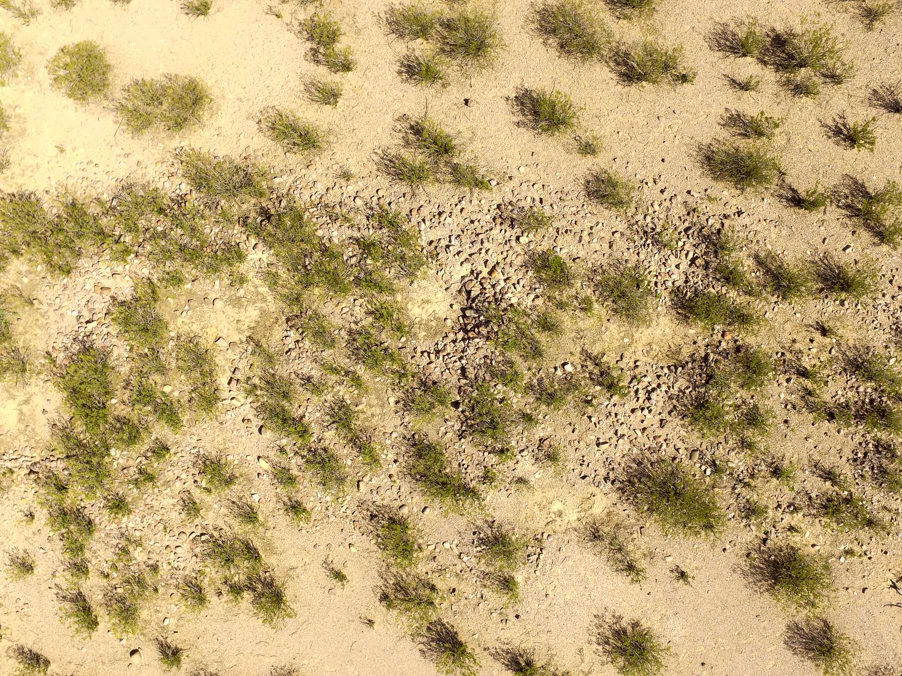
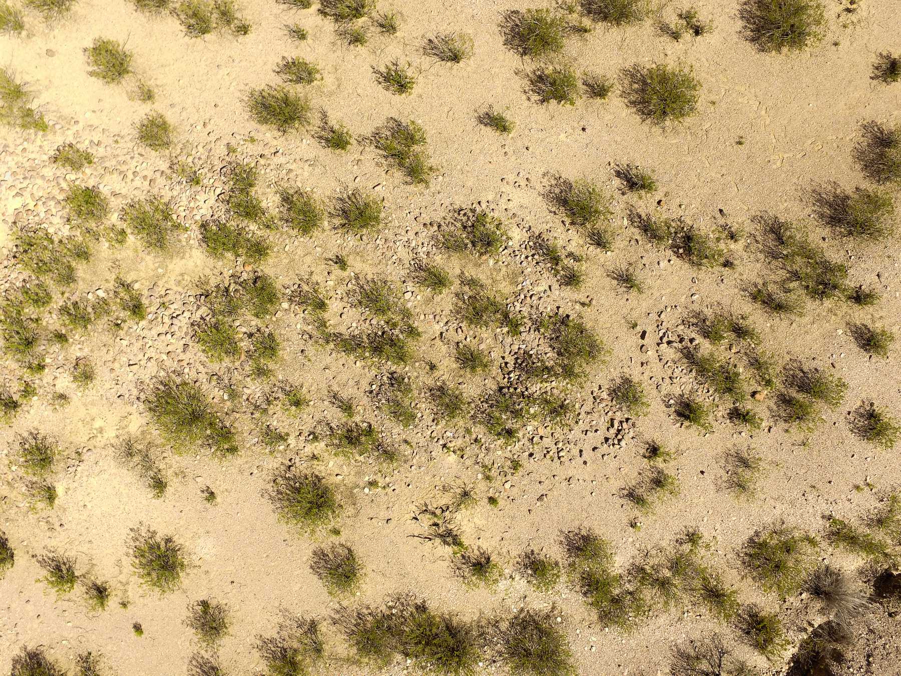
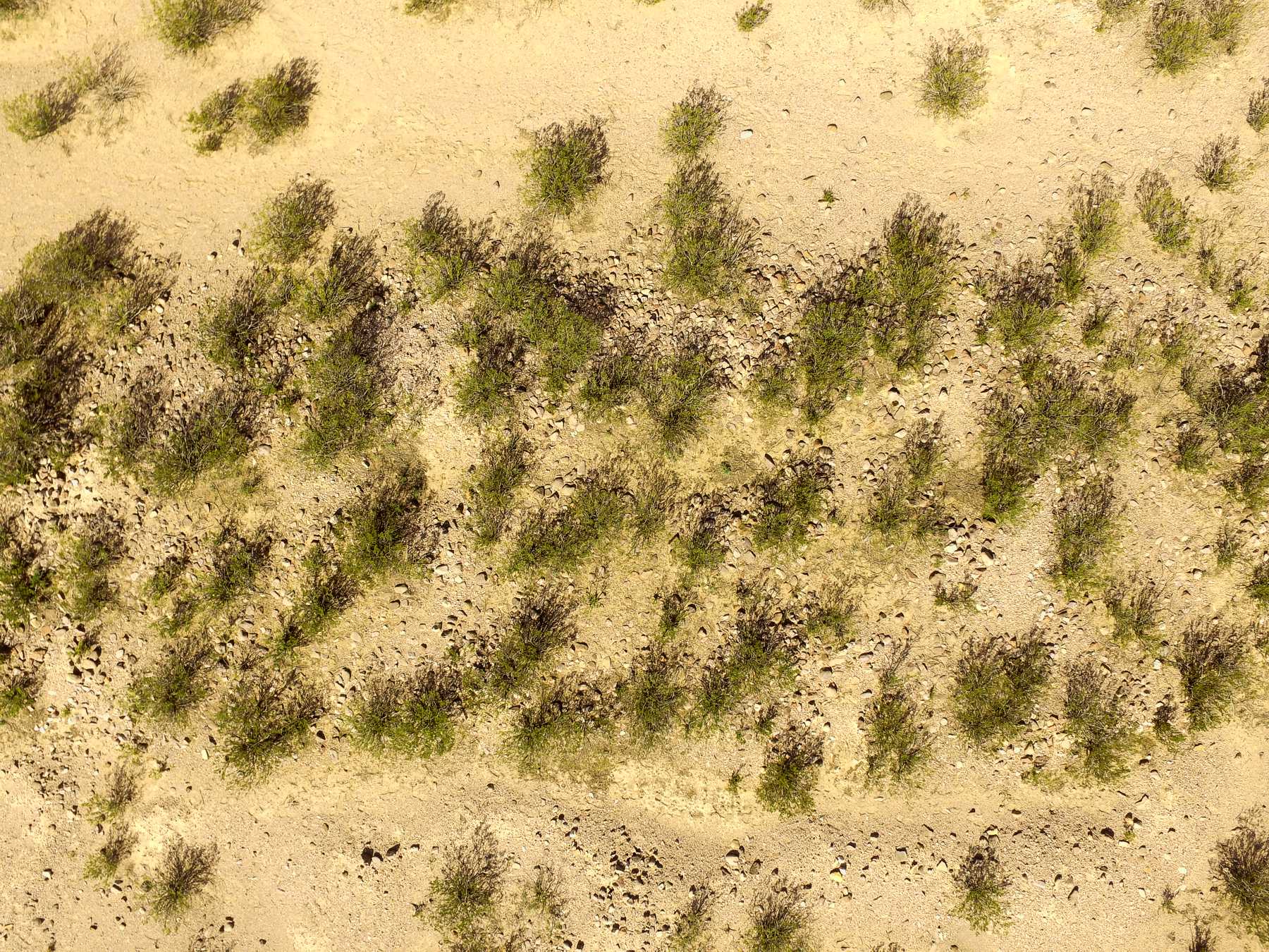
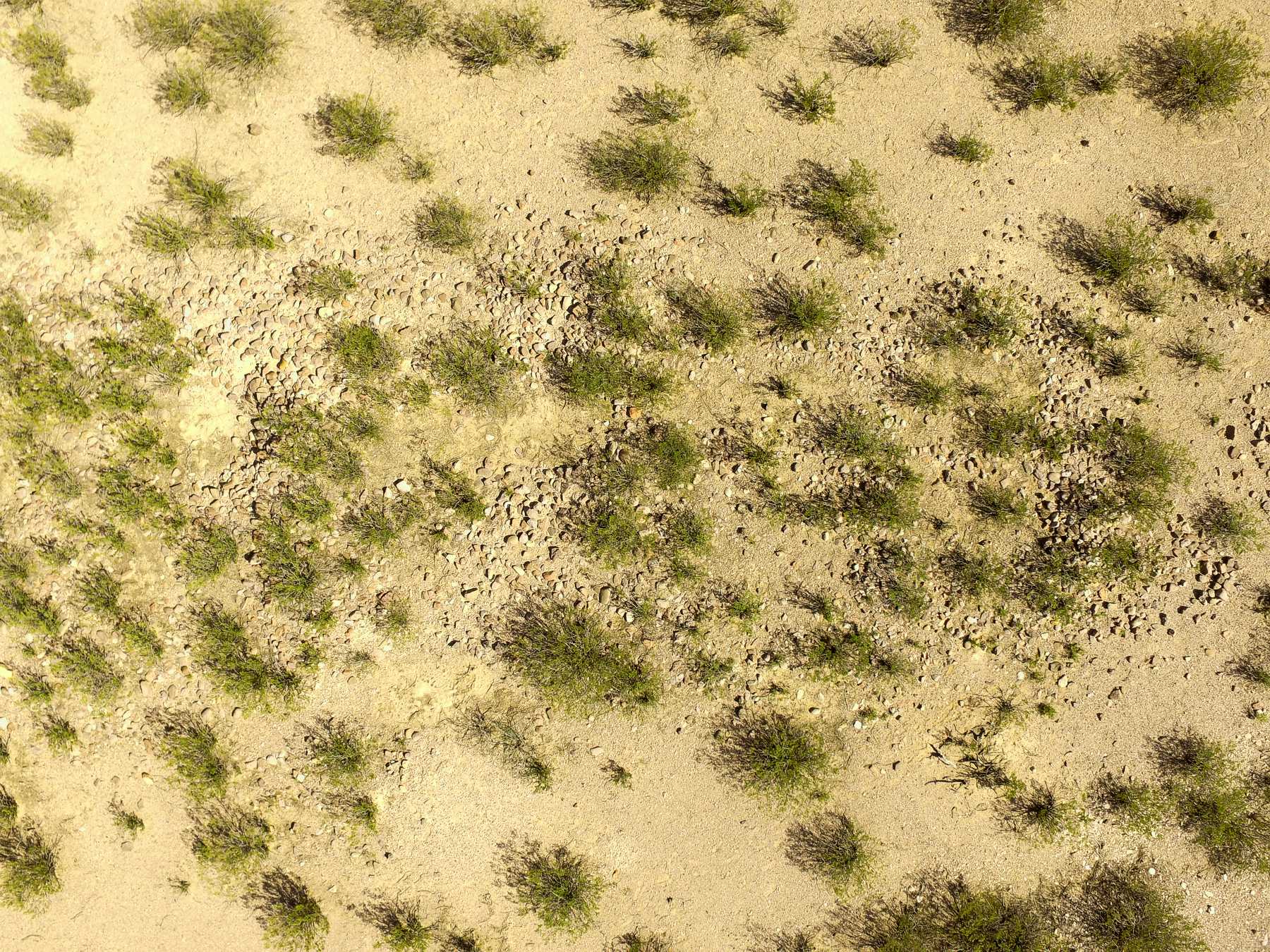
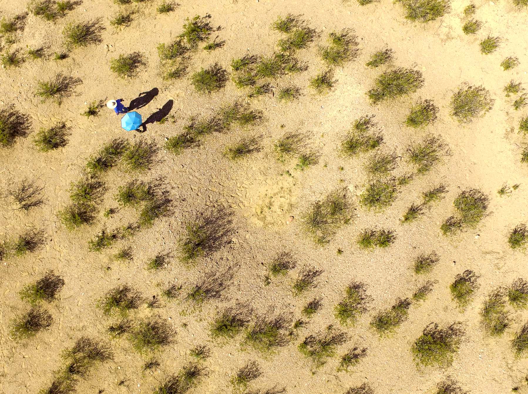
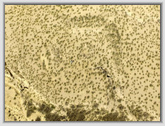
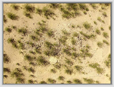
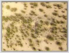
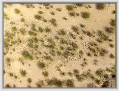
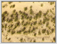
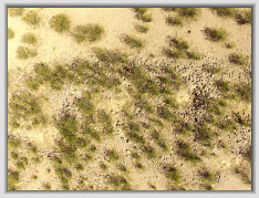
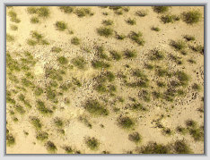
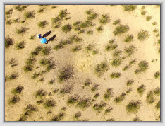
Aerial photos with DJI Phantom 3 quadcopter camera
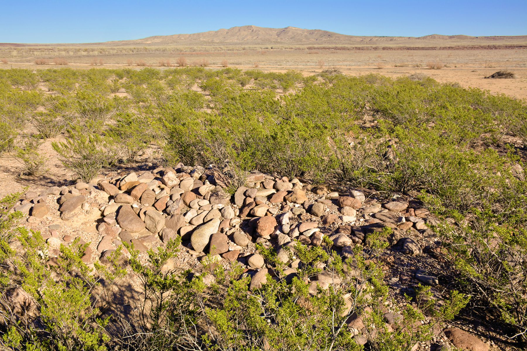
TIFFANY PUEBLO
On the west branch trail and near the Tiffany townsite. It is an Ancestral Piro pueblo circa.
1200s and a newer Colonial era 1400-1500s block rooms. Pottery styles suggest an early Spanish contact era occupation,
though not mentioned in the Oñate or other journals. Photos here.
Pueblo overview and room blocks
South room block cluster
A couple views of the Tiffany pueblo, north room block
Views of the more extensive west room blocks with 3-4 ft. high rock walls
Kiva depression in the pueblo plaza
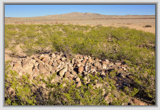
Ground views of the pueblo room blocks
Bosque gate