El Camino Real de Tierra Adentro
Sponsored by Socorro County Historical Society
Maps, photos, and aerial photography of the trail
Primarily in Sierra & Socorro counties
Paraje
2
TRAIL SEGMENT ON THIS PAGE:
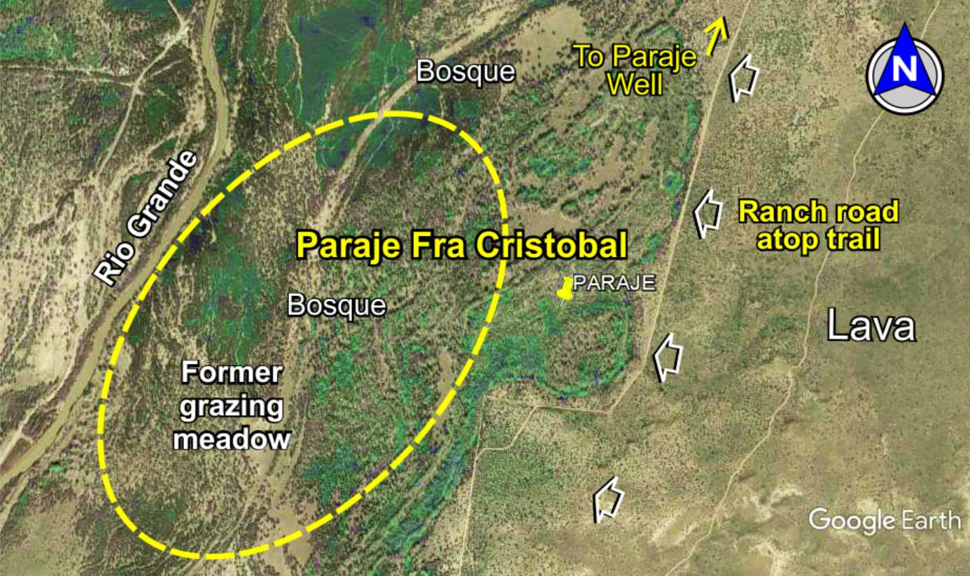
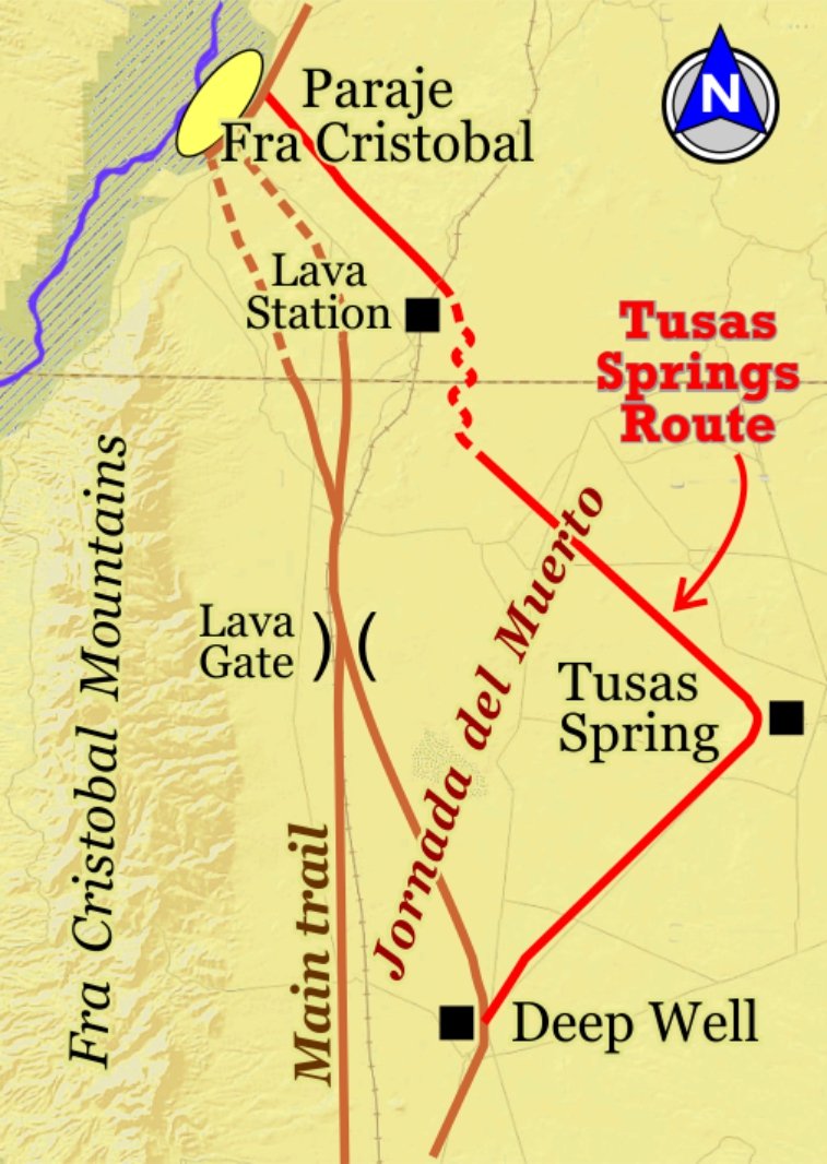
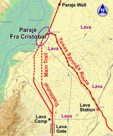
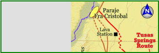
Paraje Fra Cristobal
(Trail Landmark)
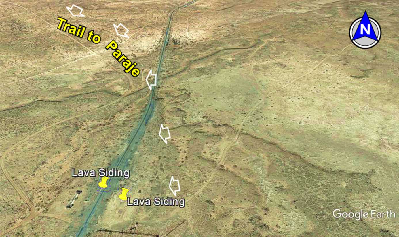
MAIN TRAIL TO PARAJE
The Camino Real Mapping Project
on these web pages
is the exclusive work of the
members of the Socorro County
Historical Society and other
volunteers dedicated to
documenting, mapping, presenting,
and preserving the historic trail.


33°32.30N
107°03.83'W

33°28.72'N
107°00.98'W

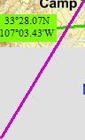
33°28.07N
107°03.43'W

33°28.50N
107°03.55'W

33°30.23'N
107°04.35'W

33°30.23'N
107°04.35'W

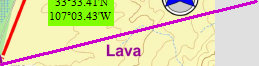
33°33.41'N
107°03.43'W

Paraje Fra Cristobal, located on the Rio Grande, was a major trail landmark for being the first reliable source of
water after the 90-mile trek through the Jornada del Muerto. It is a well documented site since the days of Oñate. It
was a camping area, or Paraje, along the river and grassy river banks for the livestock - though little else. Northbound caravans
would often stop for a day or two to rest and recover from the trek through the Jornada del Muerto. Southbound caravans would
stop to ensure the livestock and draft animals were well grazed andwater before entering the Jornada.
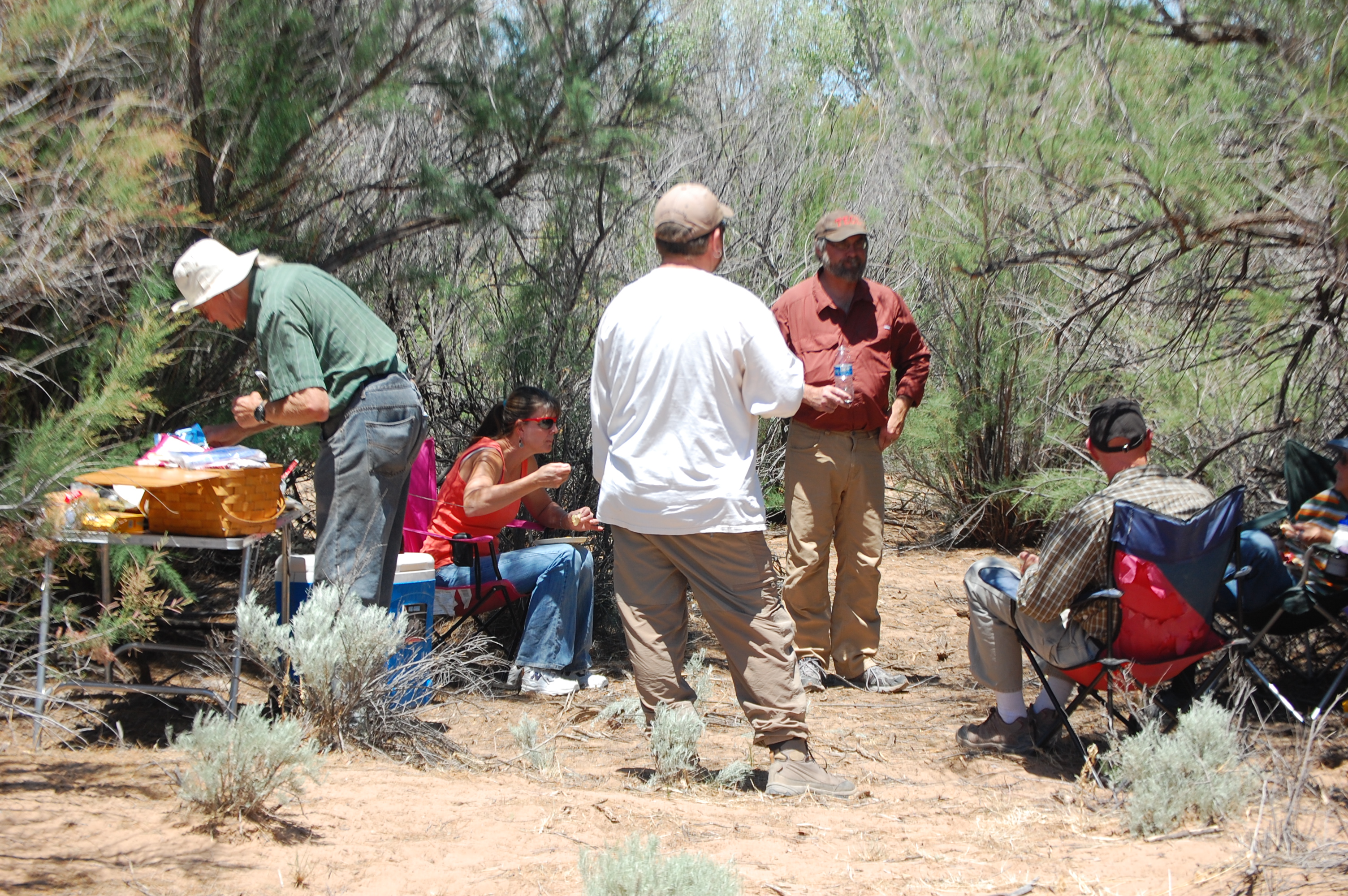
Paraje Fra Cristobal today.
The once grassy meadows at Paraje are now replaced with wild bosque of cotton wood trees, Russian Olives, etc. due to numerous
river floods as the photos show.
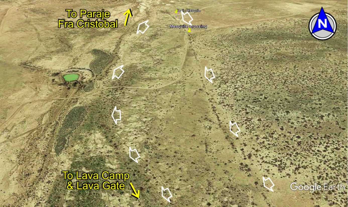
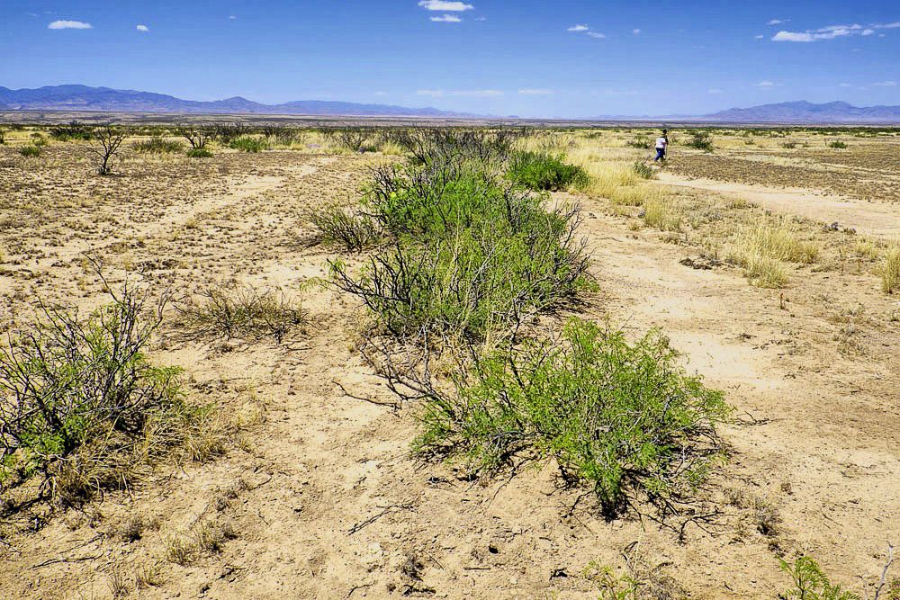
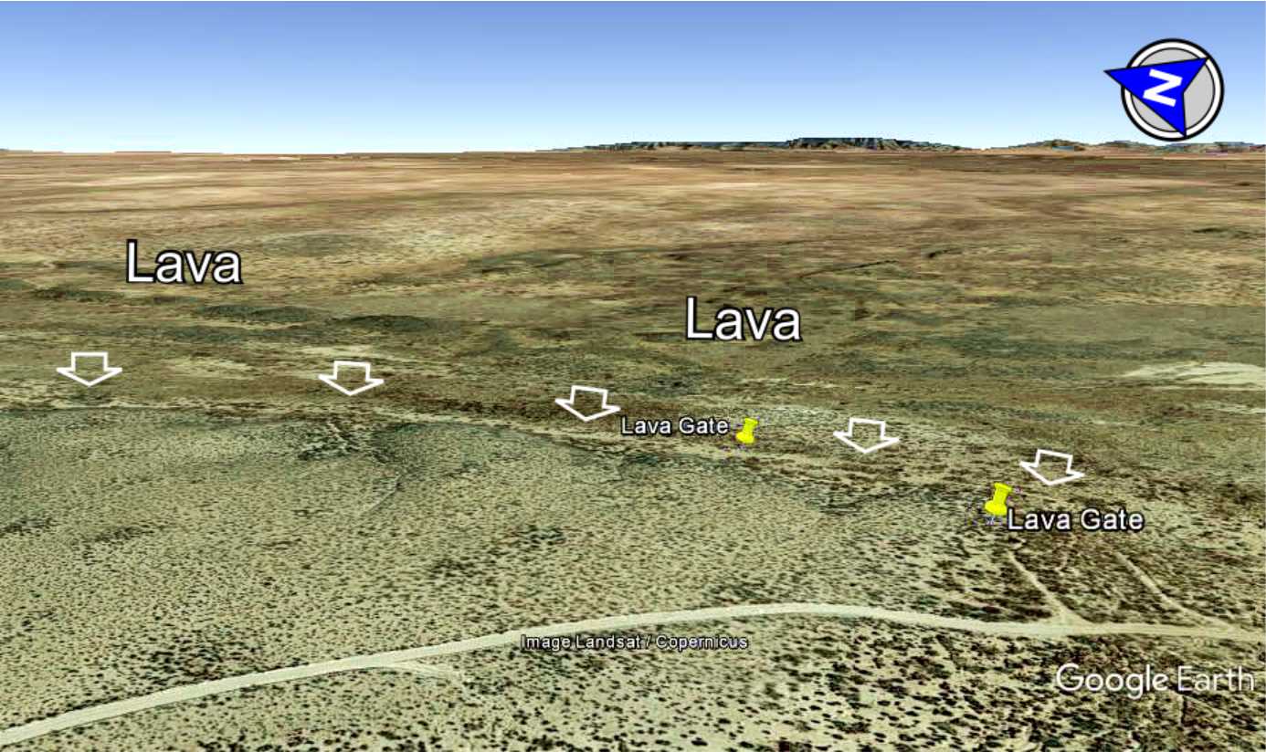
Mesquite lined trail emerges from Lava Gate, following the lava cliffs onto the open plains for the last leg of the trail to
Paraje Fra Cristobal. Much of the linear alignment of the trail and mesquite lined trail remains visible in this area.
The visible trail disappears as it approaches Paraje and the river, presummably due to overgrazing in this area in the early 1900s.
GoogleEarth
image
Drone
aerial photo
Trail photo
Notes or
documentation
LEGEND
Aerial photos with DJI Phantom 3 quadcopter camera


Website courtesy of the Socorro County Historical Society (SCHS), P.O. Box 921, Socorro, New Mexico 87801 [
SCHS home page]
NOTE: The trail in this area is part of the Armendaris Ranch for which no public
access is allowed without ranch permission. Trespassers are prosecuted.
Mesquite
trail
Trail
crossing
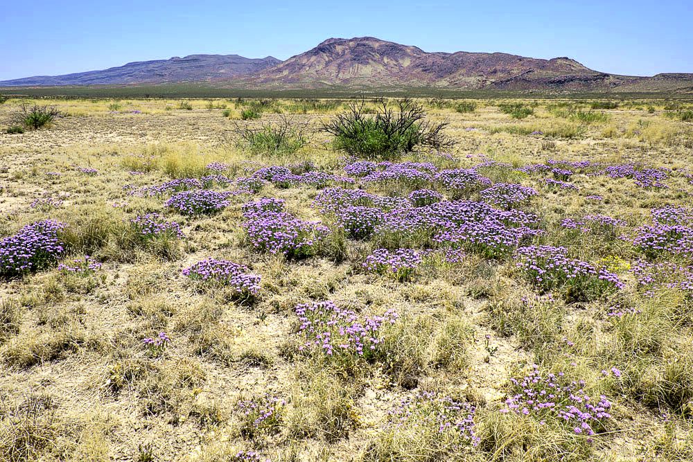
Wild flowers
overtaking
trail
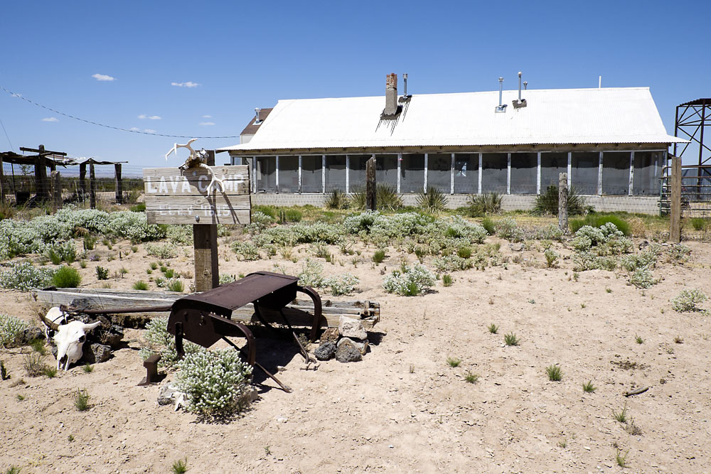
Photos of Lava station

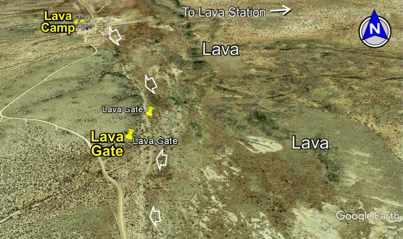
3D
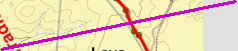
Lava
Gate
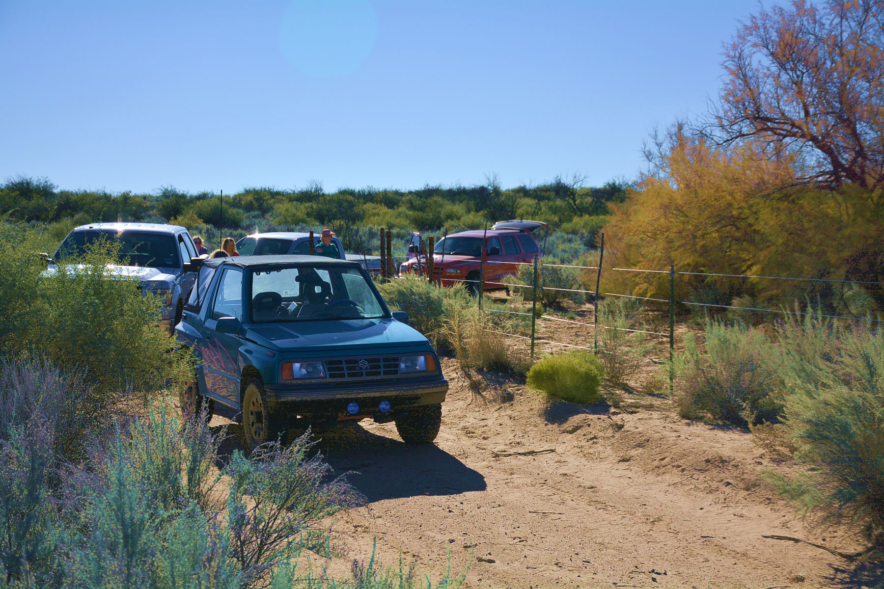
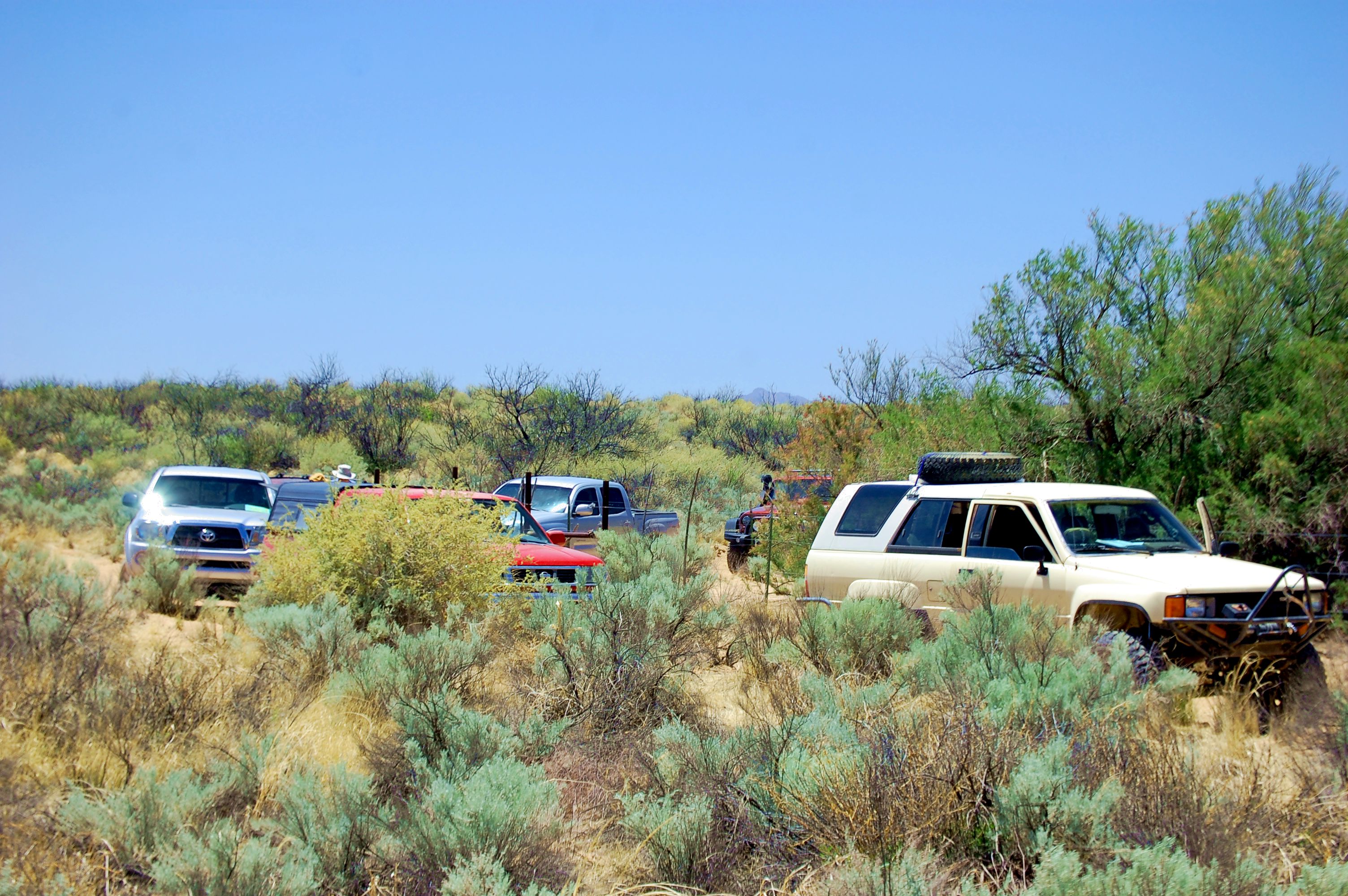
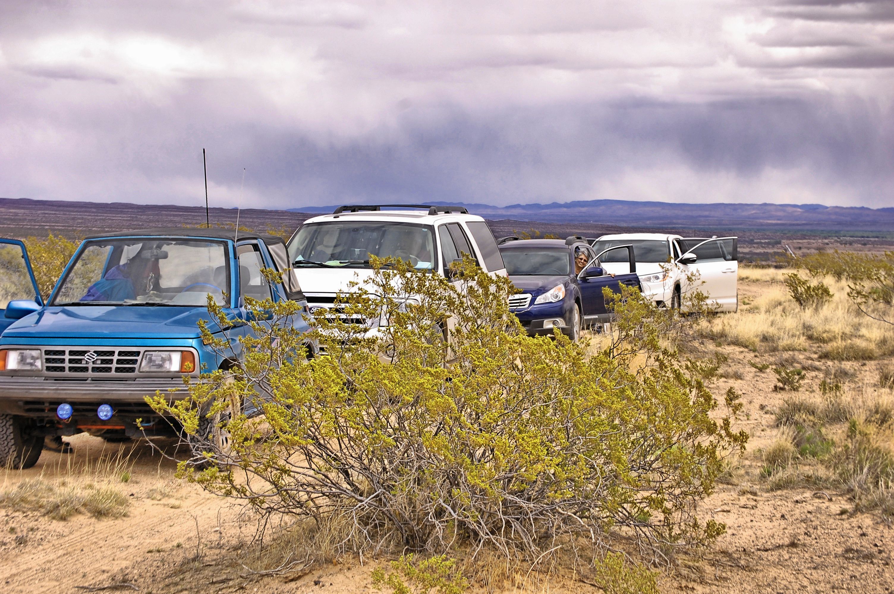
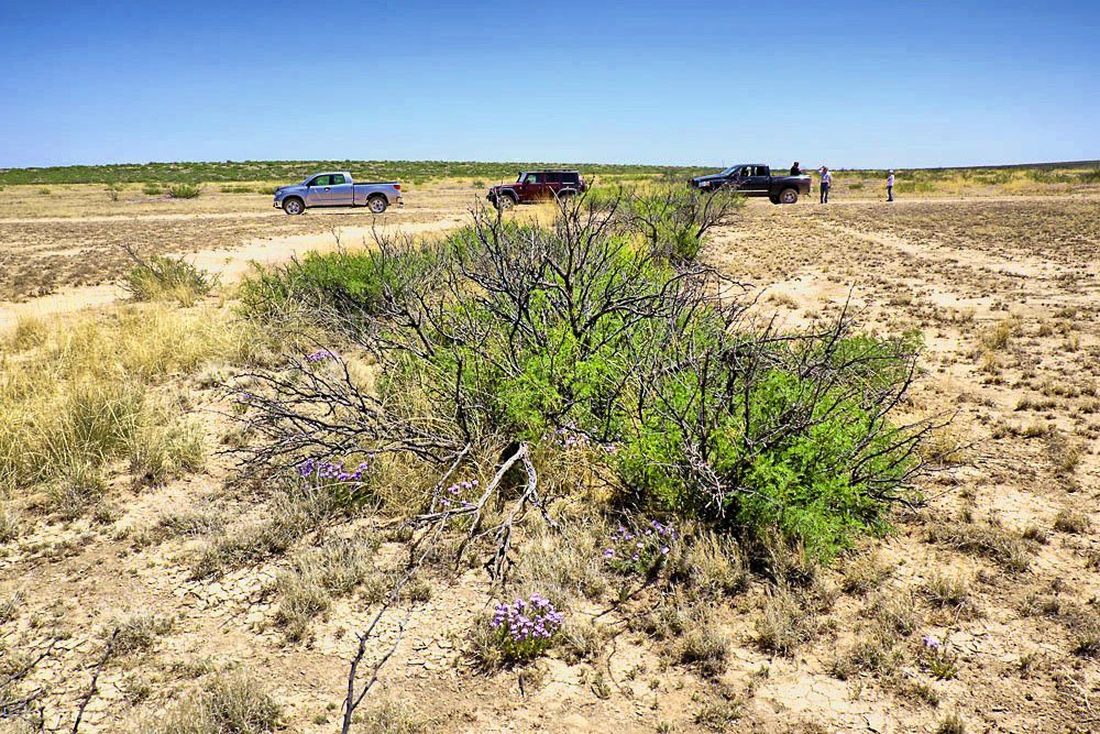
Exploring
the trail
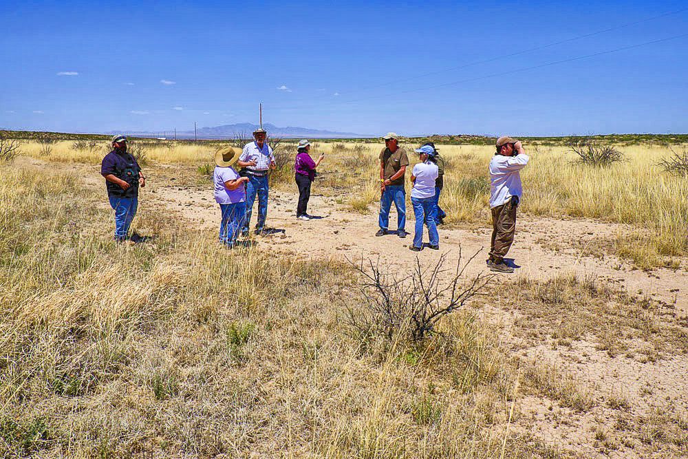
Tour
caravan
Modern caravan
through Paraje
Lunch
at
Paraje

Goto this segment
PAR1
PAR2
LAG1
Oryx near
Paraje


TUSAS SPRINGS ROUTE TO PARAJE
TUS_N
TUS_S