El Camino Real de Tierra Adentro
Sponsored by Socorro County Historical Society
Maps, photos, and aerial photography of the trail
Primarily in Sierra & Socorro counties
Paraje
5
TRAIL SEGMENT ON THIS PAGE:
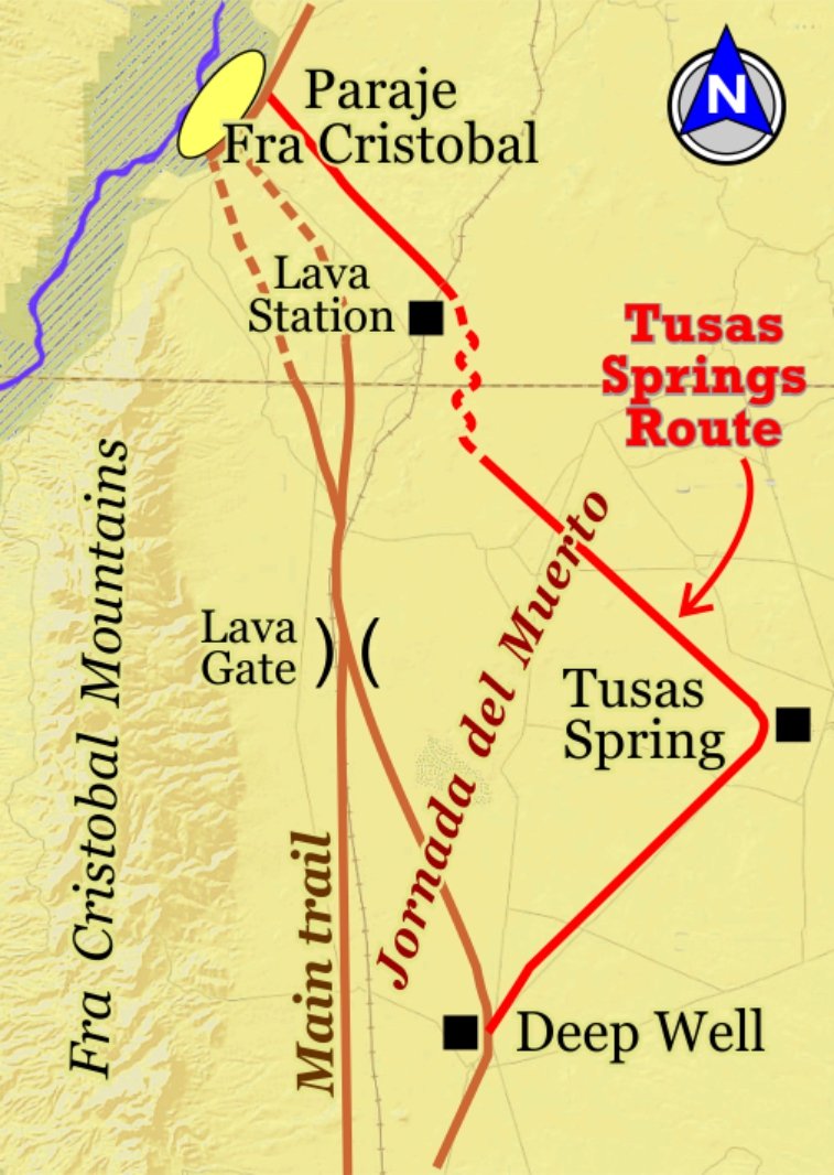
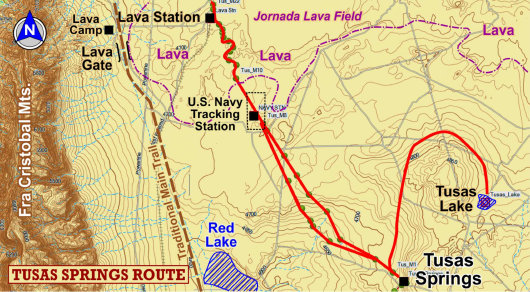
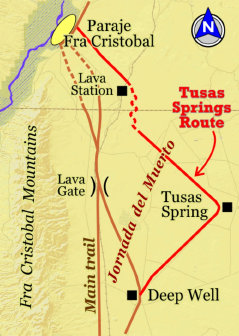
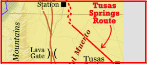
Tusas Springs Route
Tusas Springs to Lava Station
Website courtesy of the Socorro County Historical Society (SCHS), P.O. Box 921, Socorro, New Mexico 87801 [
SCHS home page]


33°26.57N
106°59.87'W
33°23.24N
106°54.92'W


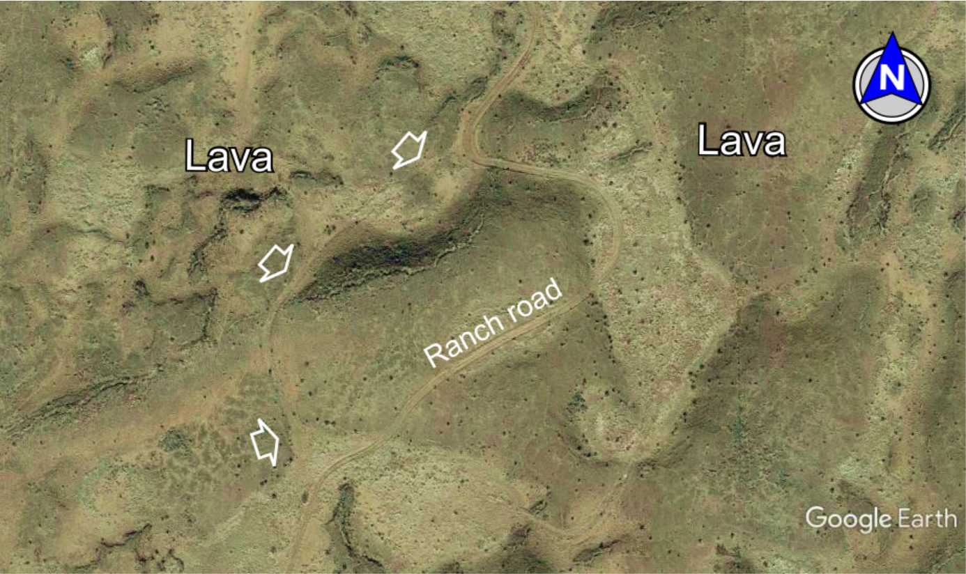
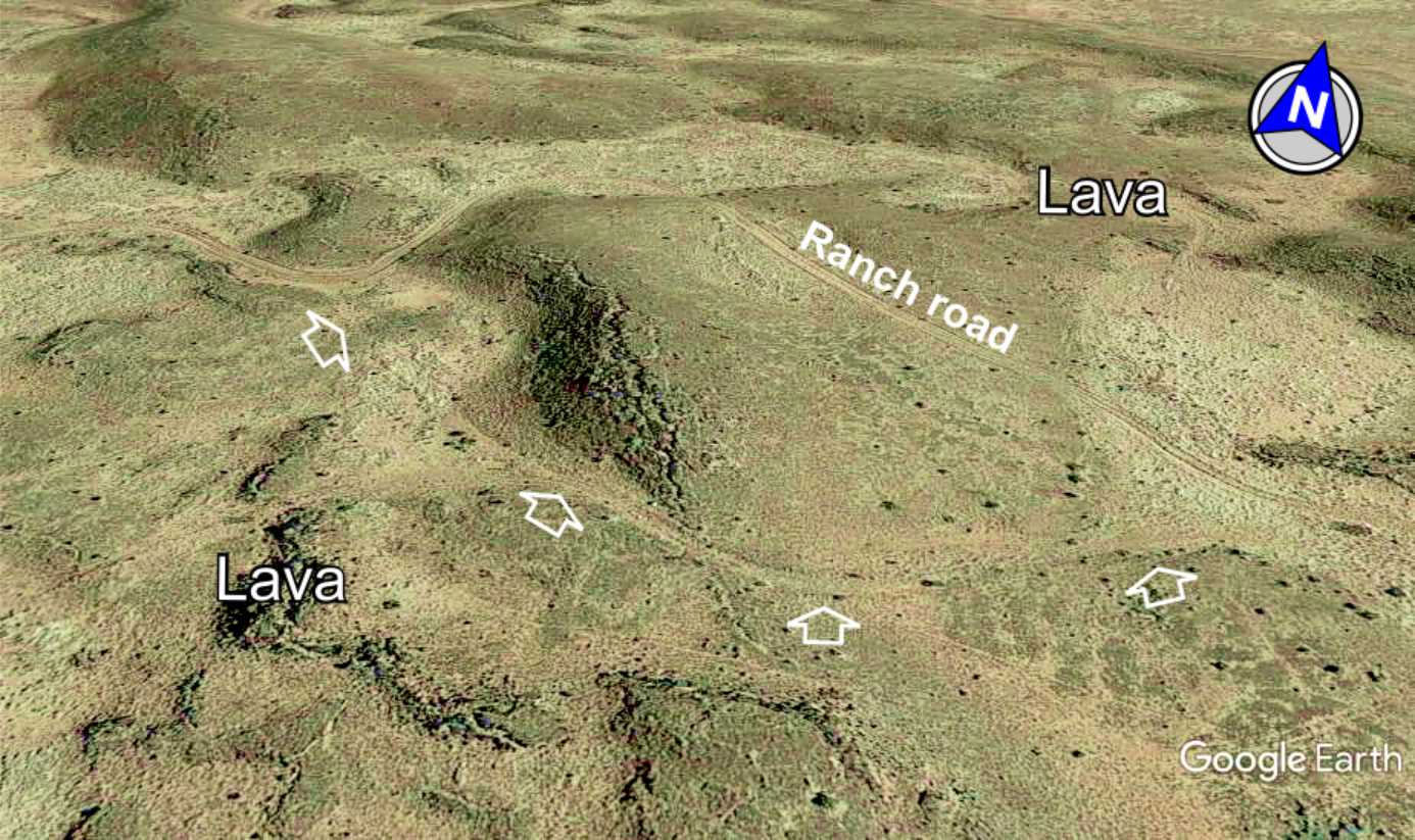
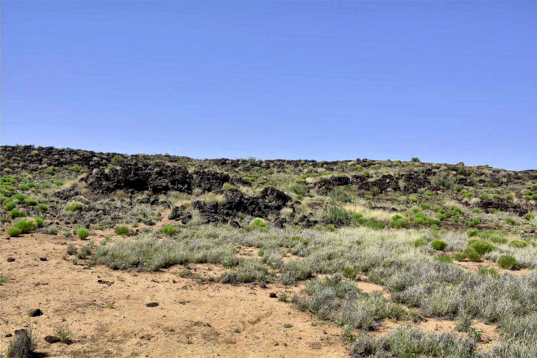
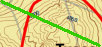
Lava Road. The trail winds through a portion of the Jornada Lava Field to Lava Station and Paraje Fra Cristobal. A ranch
road is atop the trail in places with portions of the trail visible in others. Distance through the lava is about 2 miles.
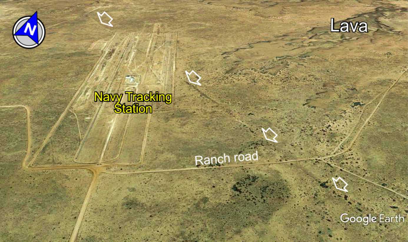
Navy tracking station consists of rows of antennas once used to track satellites and space debris. The visible trail runs right through
the tracking site.

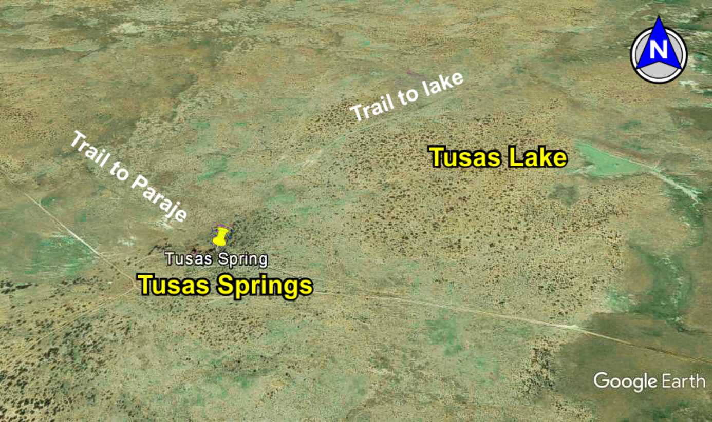
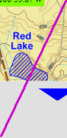
Tusas Lake is a sink hole fed by an underground water-filled gypsum dome (same water source as Tusas Springs),
and thus has water at all times. A segment of the trail from Tusas Springs to the small lake indicates it was used by travelers
along the trail, most likely for watering and grazing the livestock.
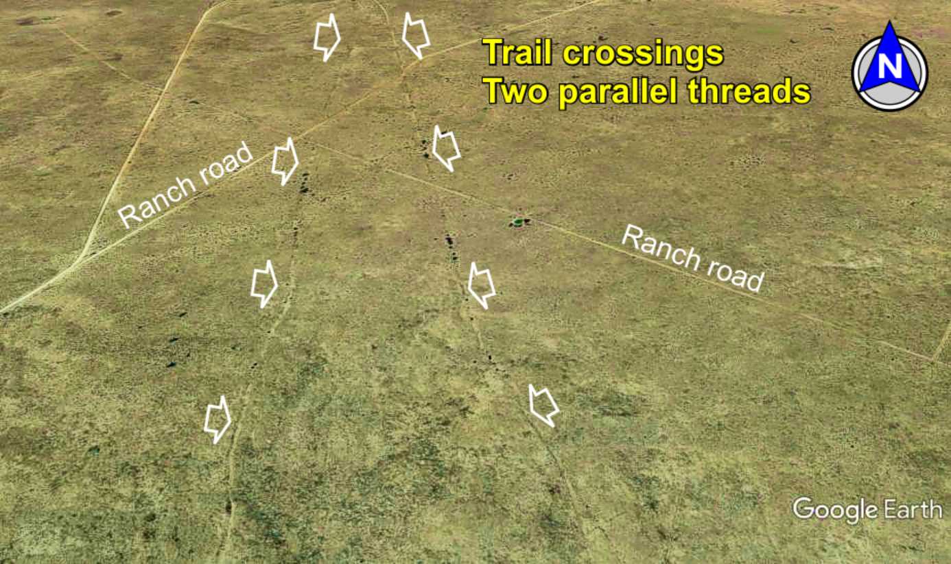
Parallel threads
of the trail
Distances
14 mi. Tusas Springs to Paraje*
From Laguna del Muerto
26 mi. to Paraje* via main trail
29 mi. to Paraje* via Tusas Springs
*
Paraje Fra Cristobal
Tusas Springs to
Lava Station
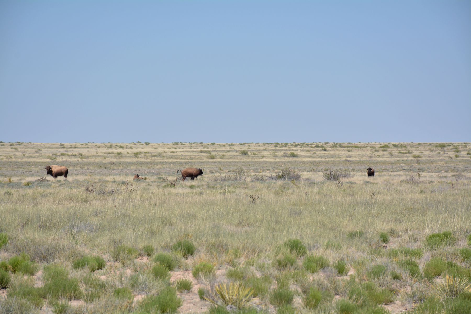
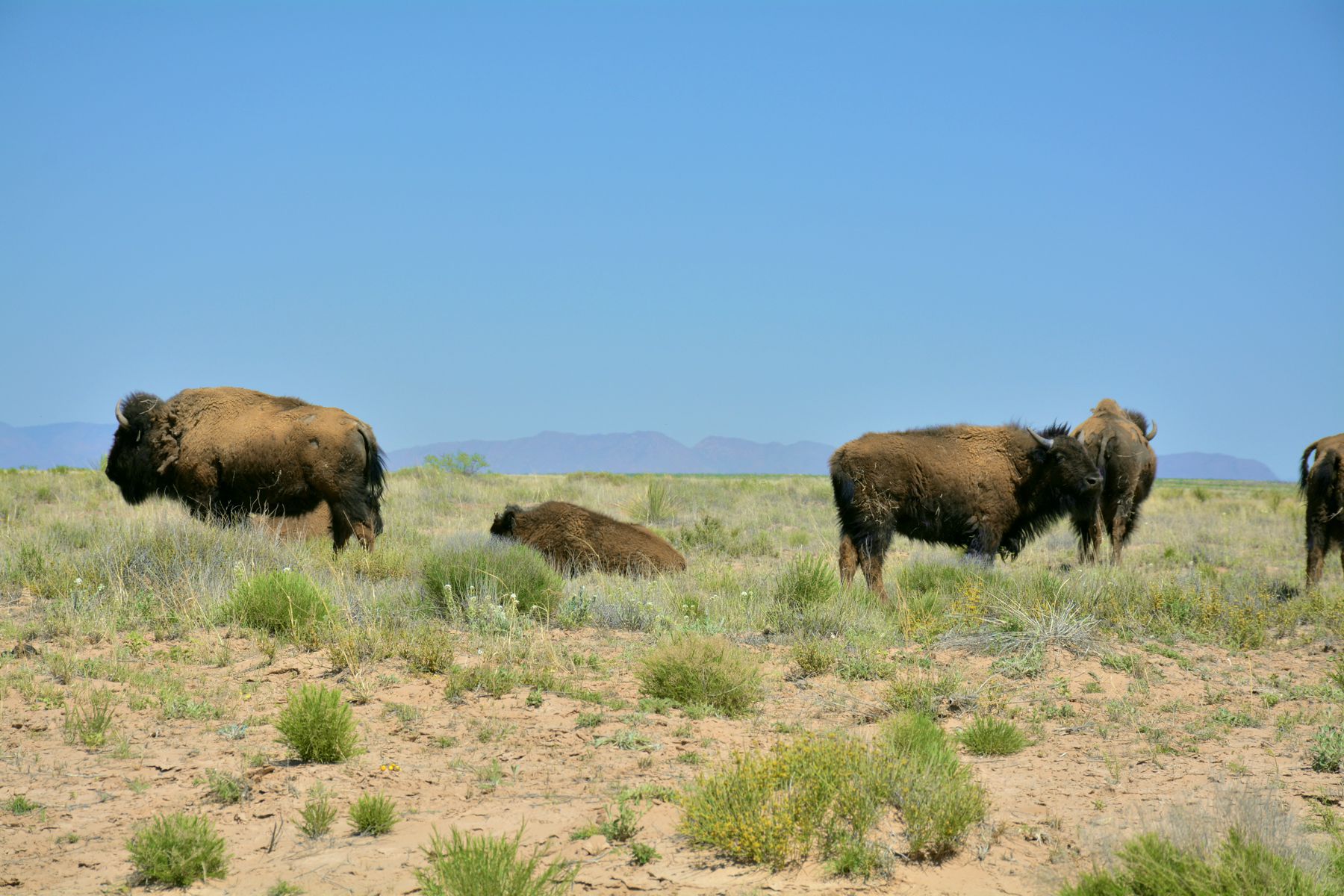
Buffalo on Ted Turner's
Armendaris Ranch
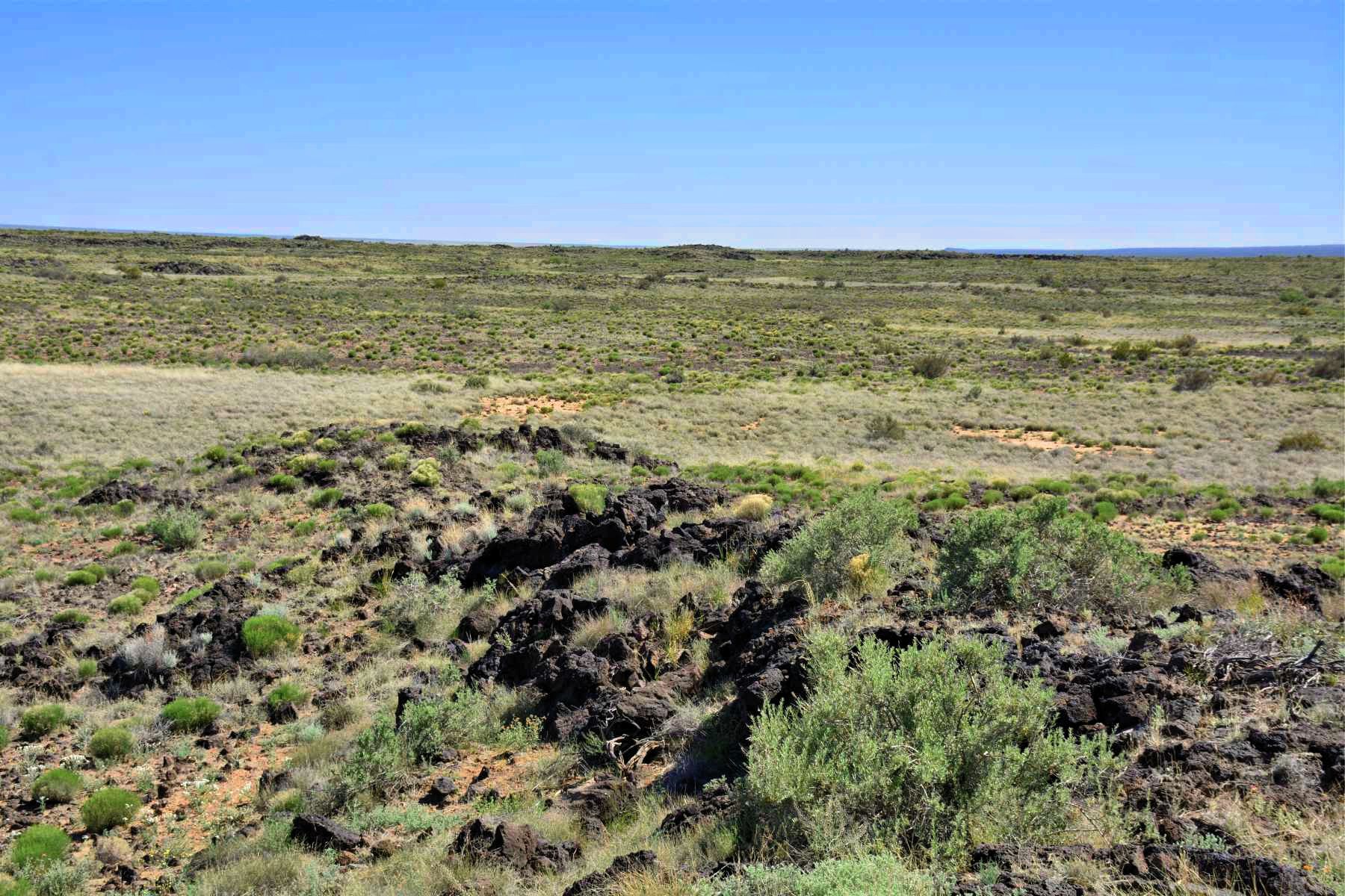
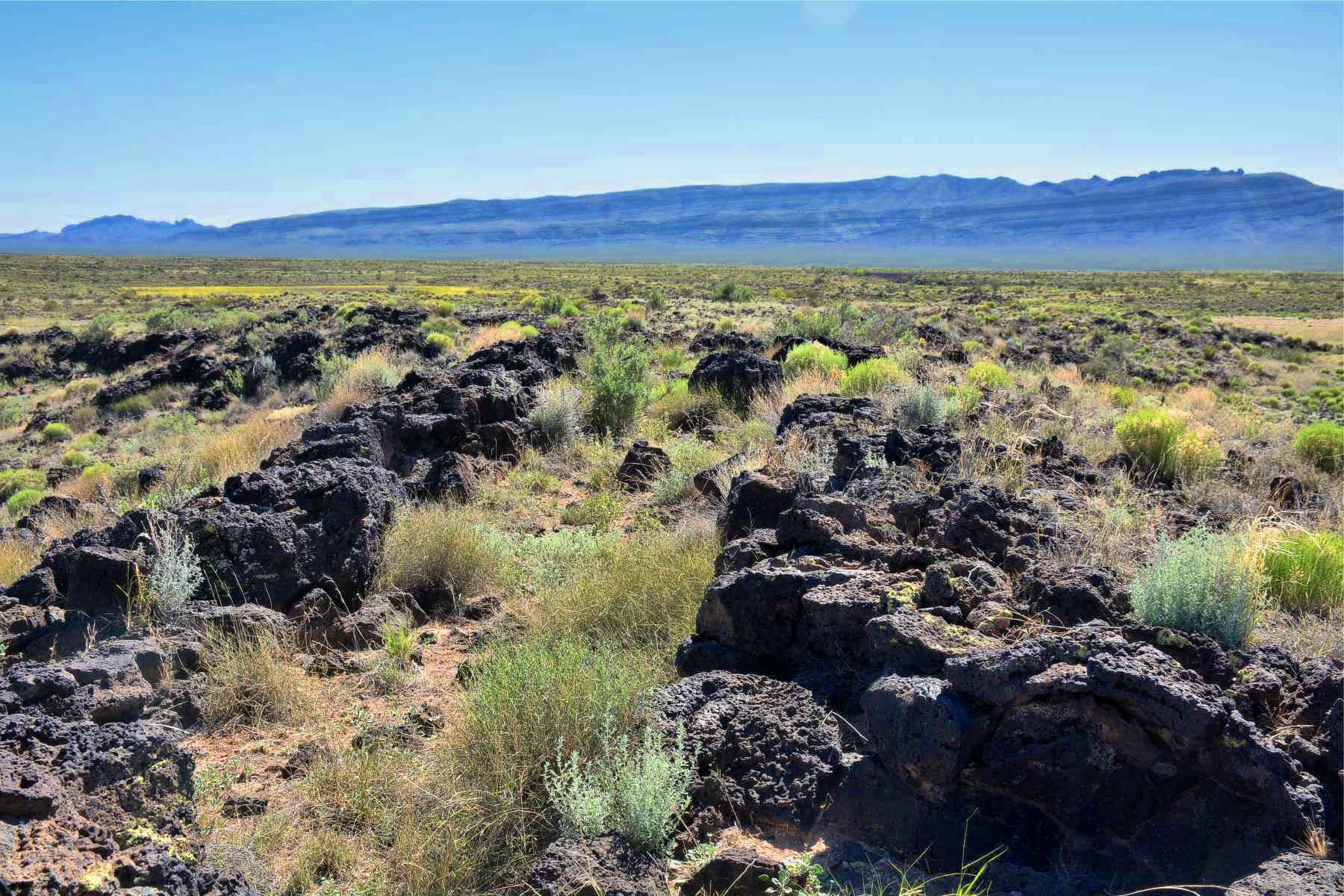
Trail through the lava
NOTE: The trail in this area is part of the Armendaris Ranch for which no public
access is allowed without ranch permission. Trespassers are prosecuted.
TUSAS SPRINGS SEGMENTS
Tusas Springs to Lava Station (this page)


33°22.96N
106°55.71'W
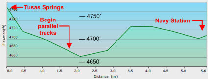
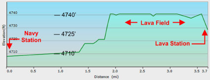
Trail elevation plots - Tusas Springs to Lava Station


TUSAS SPRINGS ROUTE TO PARAJE
TUS_N
TUS_M
TUS_S
The Camino Real Mapping Project
on these web pages
is the exclusive work of the
members of the Socorro County
Historical Society and other
volunteers dedicated to
documenting, mapping, presenting,
and preserving the historic trail.
GoogleEarth
image
Drone
aerial photo
Trail photo
Notes or
documentation
LEGEND
Aerial photos with DJI Phantom 3 quadcopter camera