El Camino Real de Tierra Adentro
Sponsored by Socorro County Historical Society
Maps, photos, and aerial photography of the trail
Primarily in Sierra & Socorro counties
Paraje
4
TRAIL SEGMENT ON THIS PAGE:
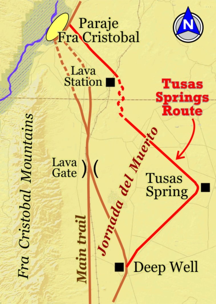
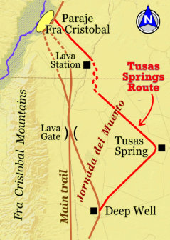
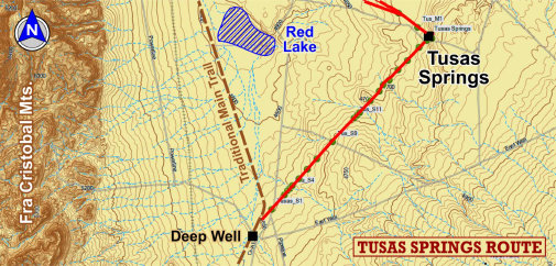
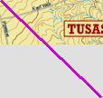
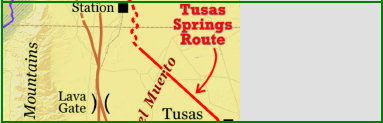
Tusas Springs Route
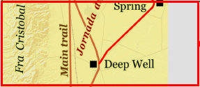
Deep Well to Tusas Springs
The Camino Real Mapping Project
on these web pages
is the exclusive work of the
members of the Socorro County
Historical Society and other
volunteers dedicated to
documenting, mapping, presenting,
and preserving the historic trail.
GoogleEarth
image
Drone
aerial photo
Trail photo
Notes or
documentation
LEGEND
Aerial photos with DJI Phantom 3 quadcopter camera
Website courtesy of the Socorro County Historical Society (SCHS), P.O. Box 921, Socorro, New Mexico 87801 [
SCHS home page]


33°22.96N
106°55.71'W

33°19.51N
106°59.68'W
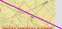
The
TUSAS SPRINGS ROUTE of El Camino Real trail has been a
special mapping project by the
Socorro Desert Ratts and for the Armendaris
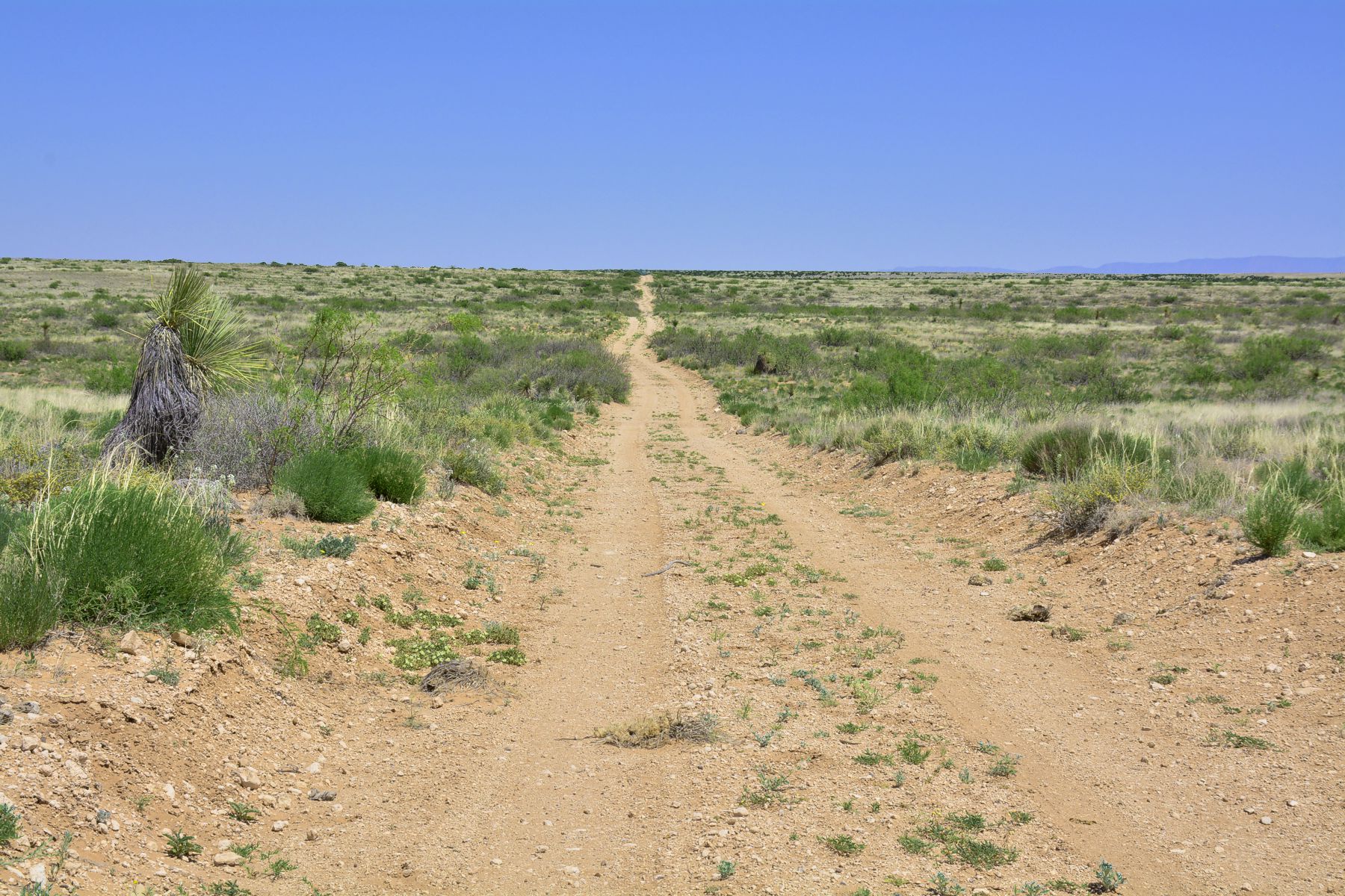
Ranch (well aware of its existence). It is a well defined route from the main trail a diversion to the reliable and ample
water at Tusas Springs. Much of this diversionary trail is visible, nearly continuous to Paraje Fra Cristobal, and well worn
in places to suggest frequent use. The bypass to Tusas Springs is not well documented nor is it included with the
official National Historic Trails maps of El Camino Real. Detailed maps and photographs are included herein to document the
Tusas Springs route of the trail.

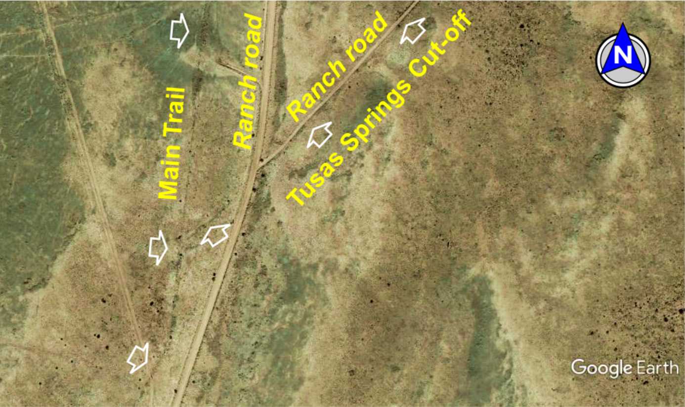
Tusas
Springs
Cut-off
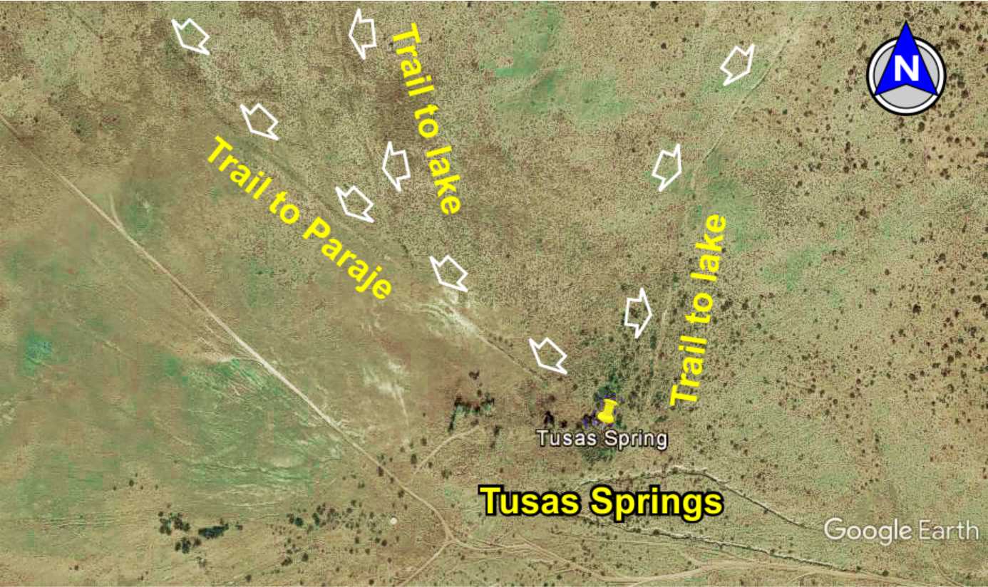
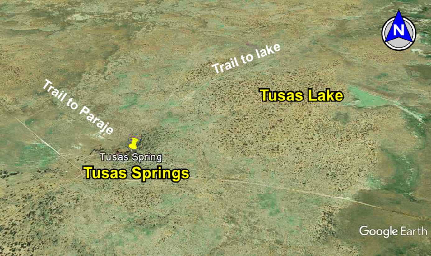
Tusas
Springs
Springs
& Lake

Road & trail to
Tusas Springs
Tusas
Springs
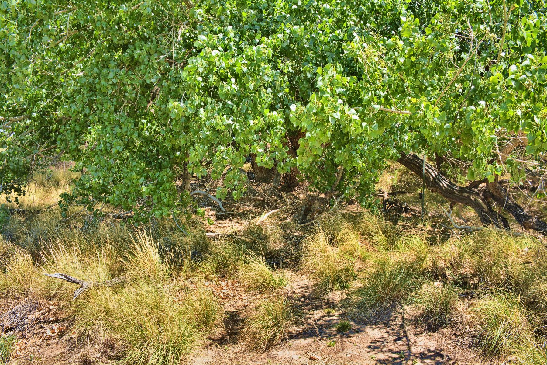
Inside the springs
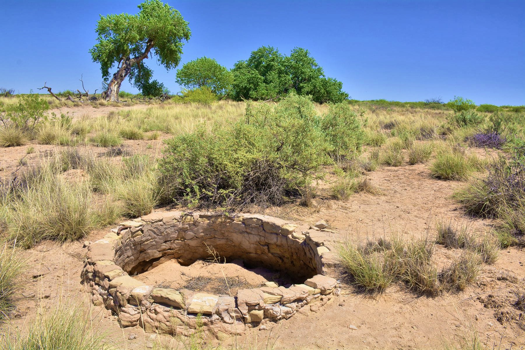
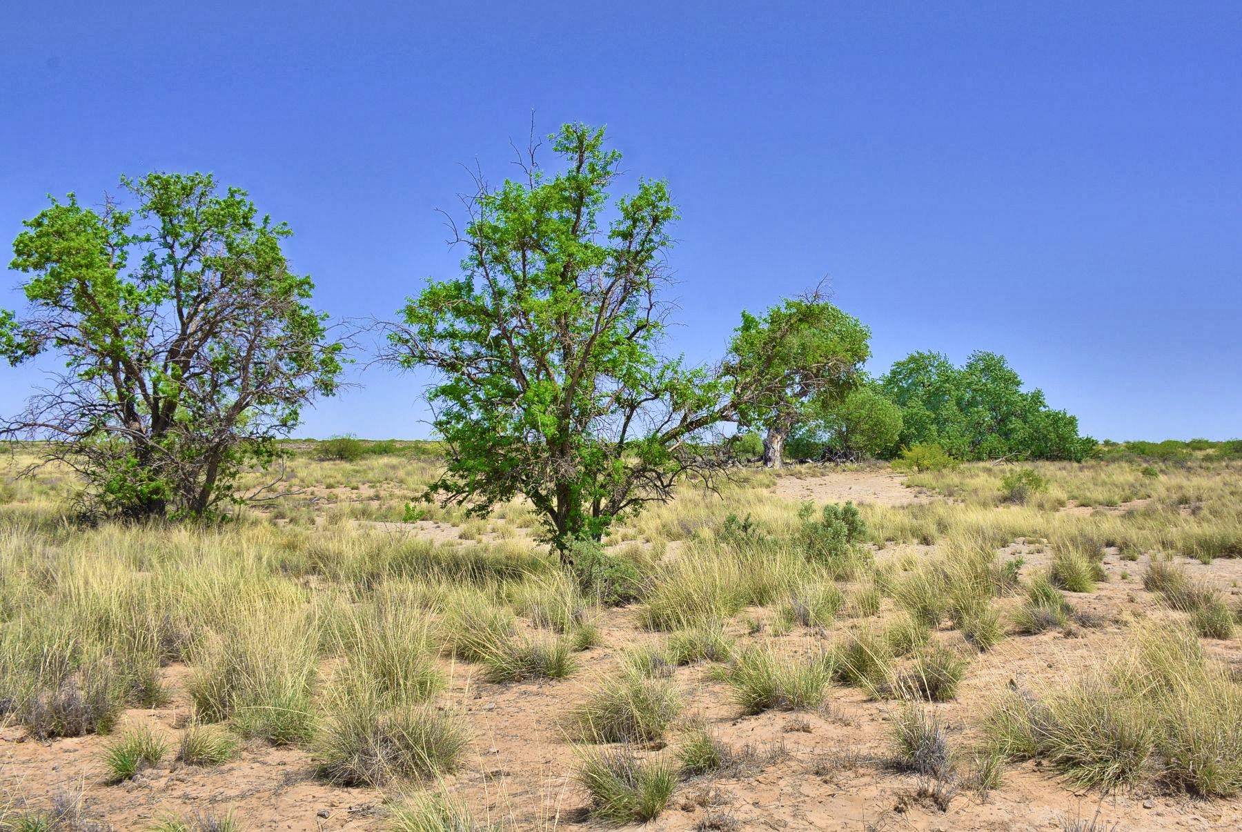
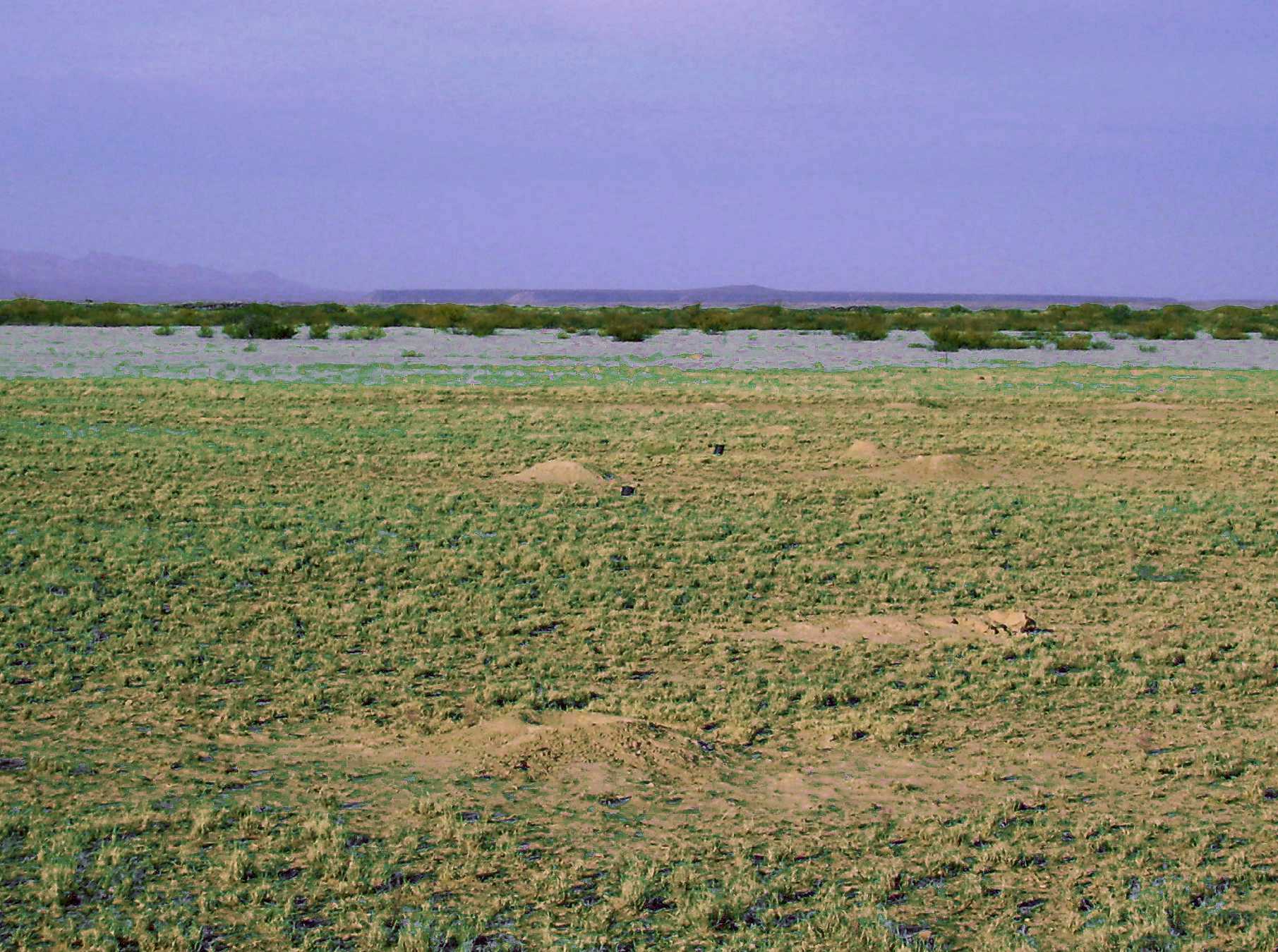
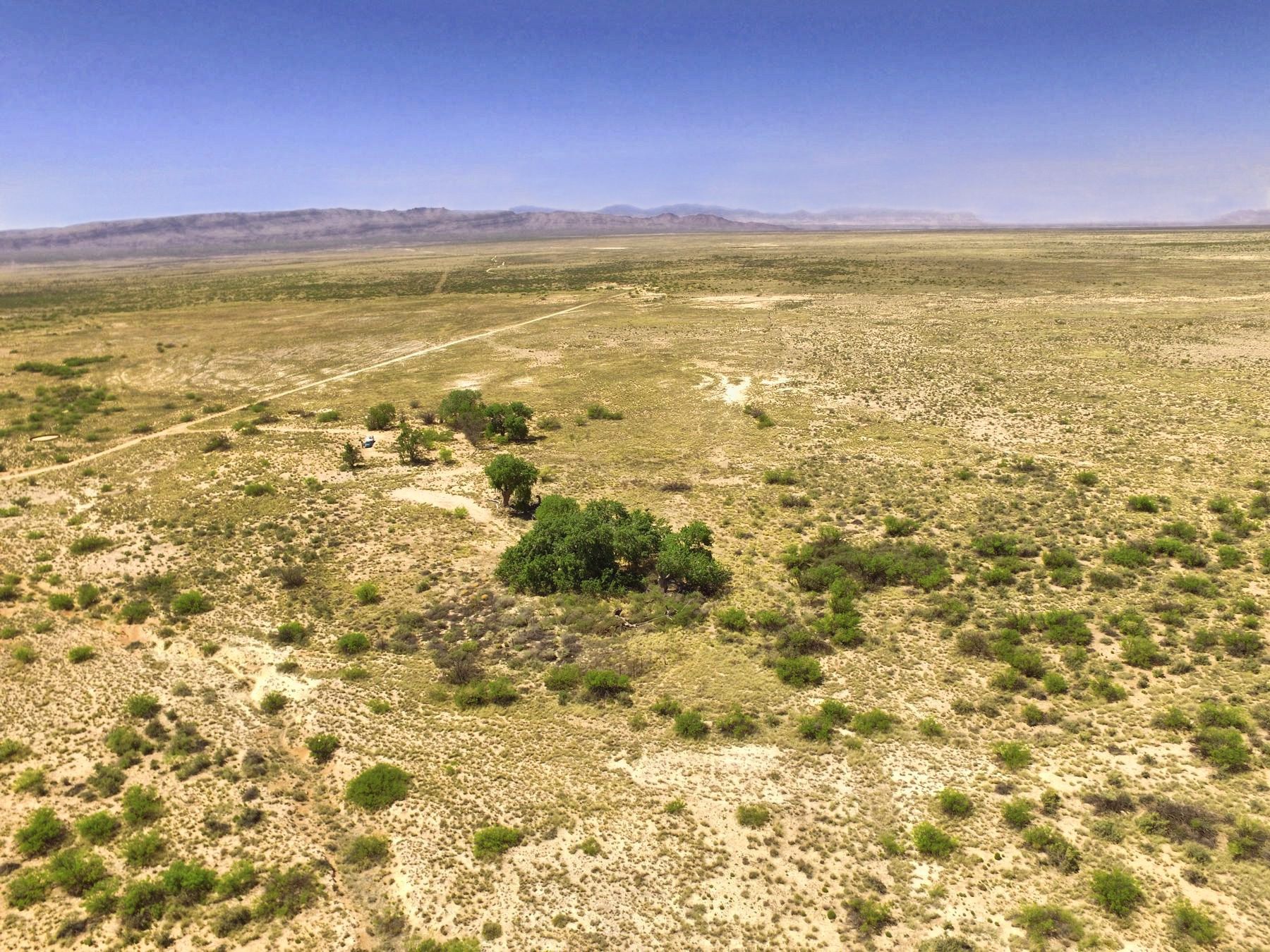
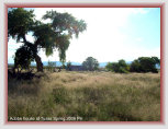
Tusas Springs has long been a reliable and ample source of water in the northern portion of the Jornada del Muerto - though
scarcely documented. Artifacts at the site, including Piro Indian pottery shards and Apache points, indicate its long term
awareness and use. The ranch has found Spanish artifacts and long aware of its affinity to El Camino Real trail.
The
trail remains clearly visible departing the springs for Paraje Fra Cristobal, and two other threads leading to a nearby
lake for watering and grazing caravan livestock. The condition of the trail in places suggests the diversion to the water at
Tusas Springs was often used, well traveled, and a likely paraje.
The ranch road from Deep Well to Tusas Springs was bladed on top of the trail in the 1930s with portions of the trail still visible.
Distances
14 mi. Tusas Springs to Paraje*
From Laguna del Muerto
26 mi. to Paraje* via main trail
29 mi. to Paraje* via Tusas Springs
*
Paraje Fra Cristobal
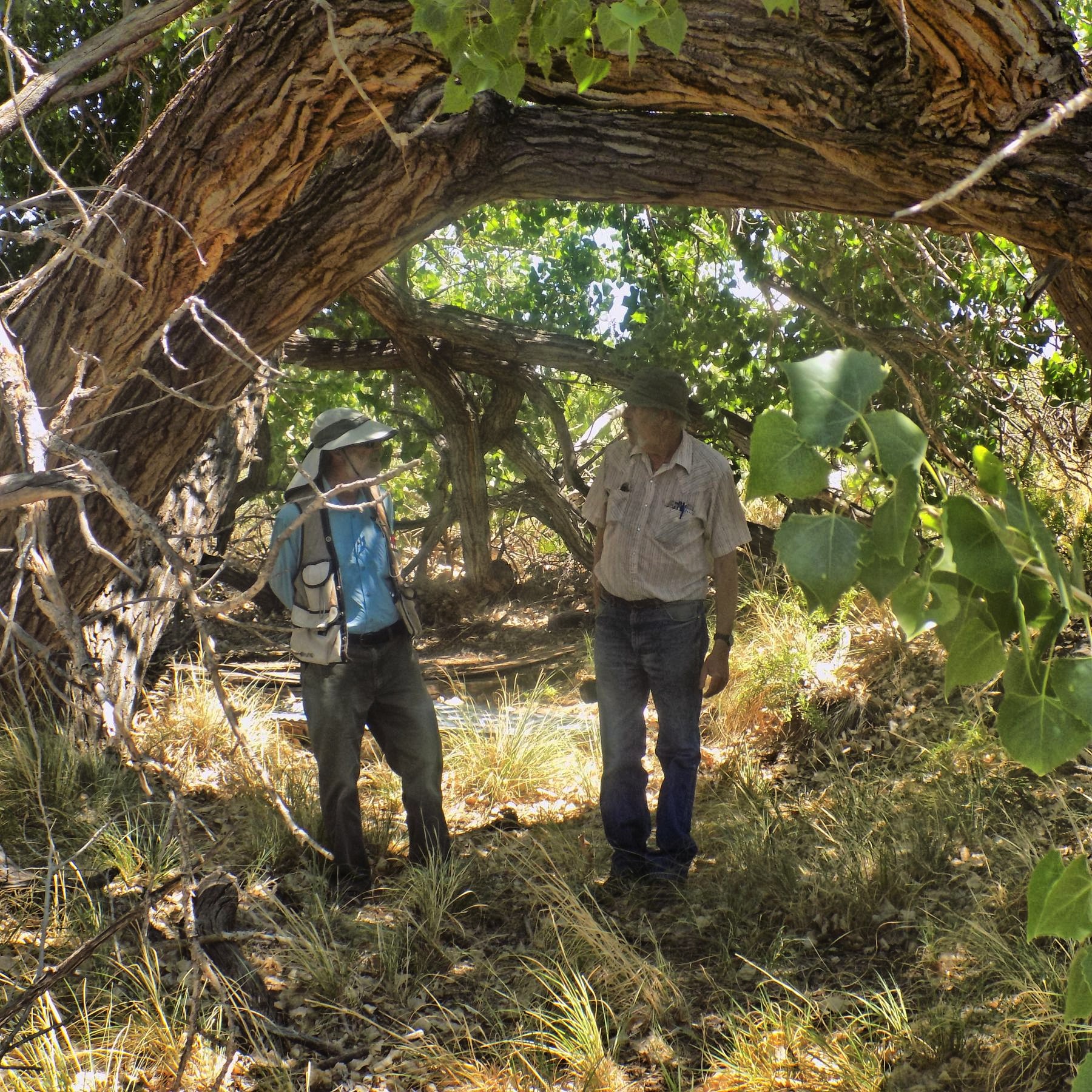
More photos here ...
Click photos to enlarge
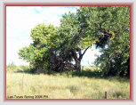
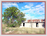
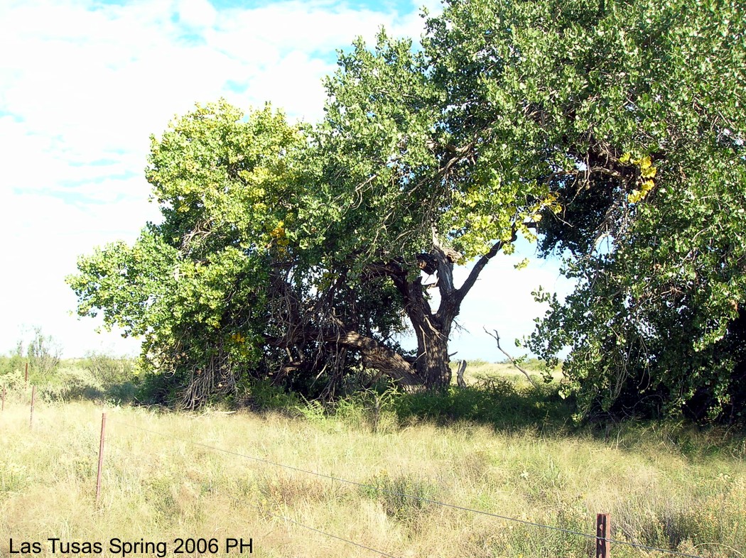
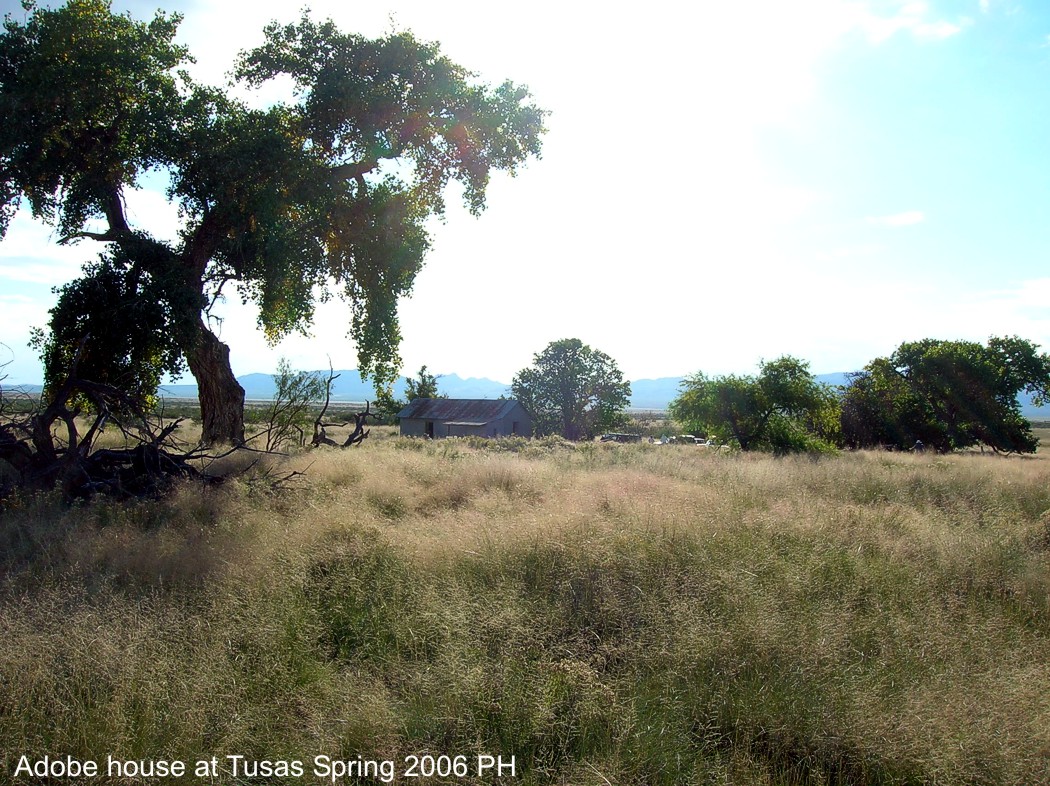
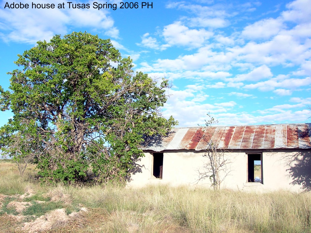
Tusas Springs in 2006 showing the old hacienda at the springs. Affinity unknown but believed built mid1800s and extant during the
later days of the trail's use. Was it strictly a hacienda/ranch house, or did it serve as a way stop for travelers along
the trail?
The adobe hacienda building was razed by the ranch in 2010.
The name. Tusa or tuza is an archaic Spanish word for gopher or rodent, still commonly used in Cuba and Latin America. Indeed,
there are gopher or ground hog mounds around the springs.
The springs is also shown as
Tucson Springs on some maps.

Drone aerial
views
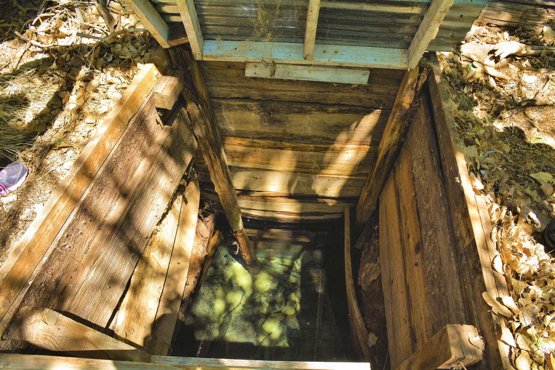
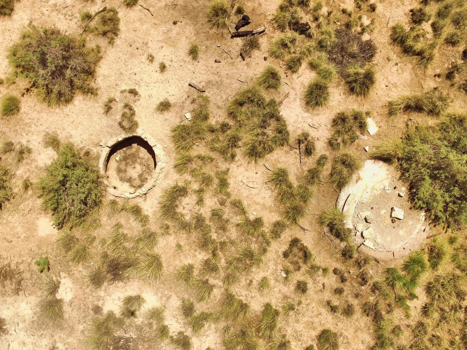
Hand dug
wells

TUSAS SPRINGS SEGMENTS
Deep Well to Tusas Springs (this page)
NOTE: The trail in this area is part of the Armendaris Ranch for which no public
access is allowed without ranch permission. Trespassers are prosecuted.

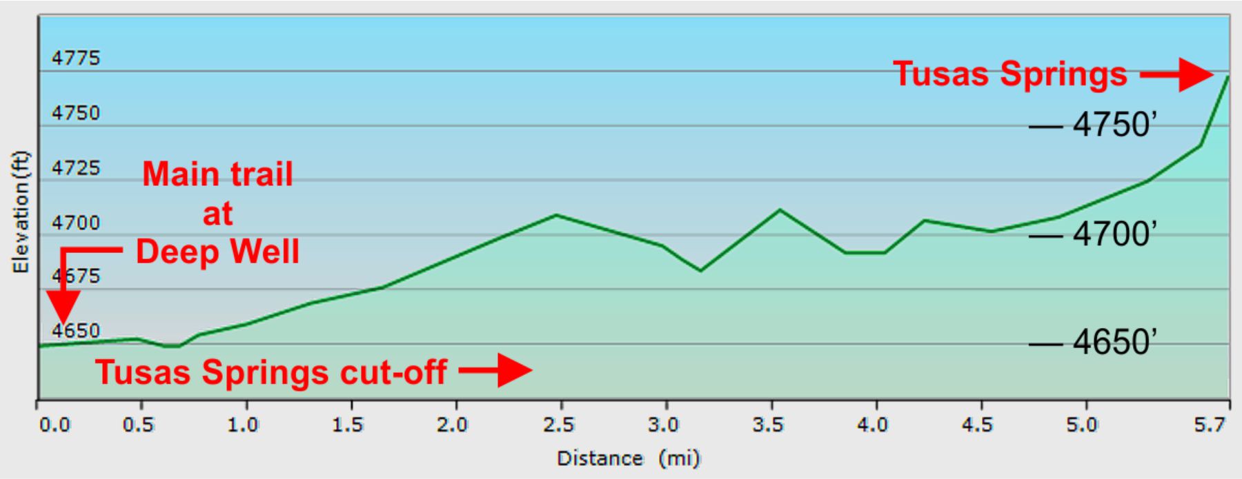
Trail elevation plot - Deep Well to Tusas Springs

TUSAS SPRINGS ROUTE TO PARAJE
TUS_N
TUS_M
TUS_S