Socorro County Historical Society
Socorro, New Mexico, USA
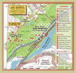
San Marcial, NM

Post-flood Photos
All photos by Paul Harden of SCHS unless otherwise indicated
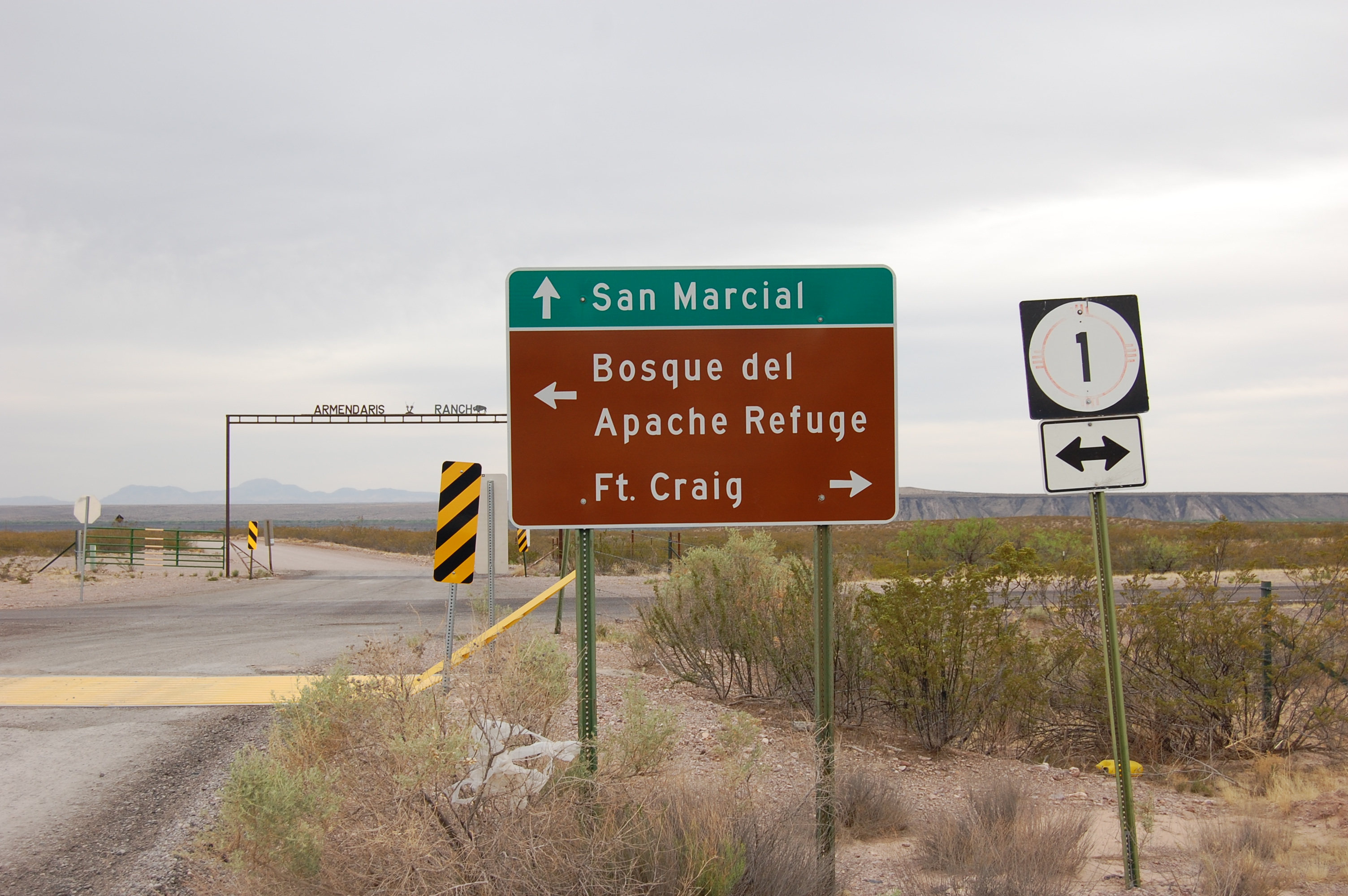
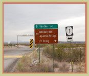
Entrance to San Marcial
on highway NM-1
Manifest freight train
barrels through San Marcial
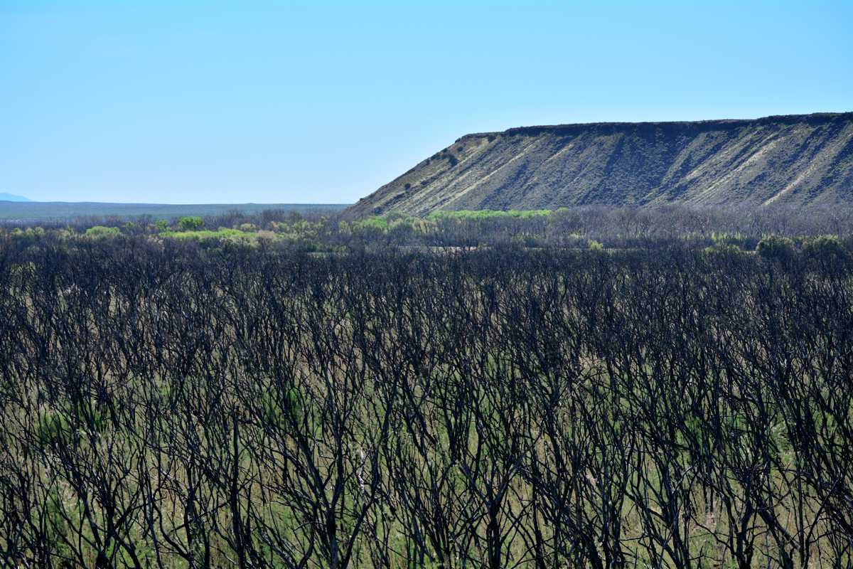
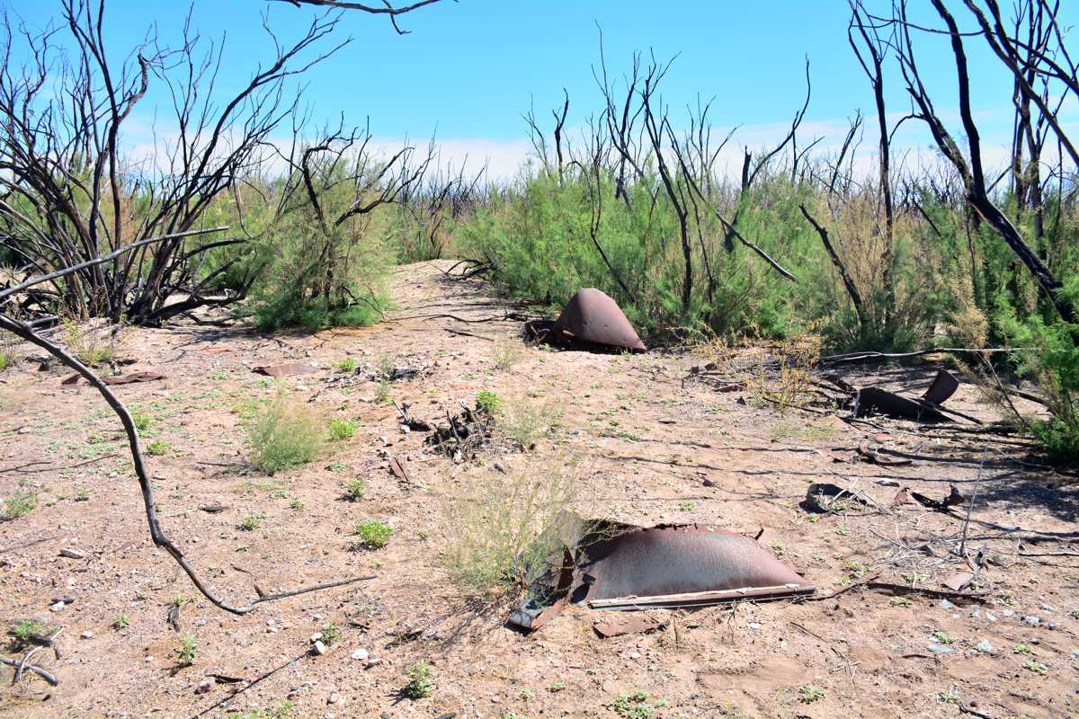
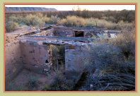
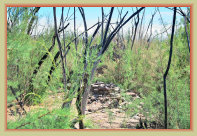
Ruins of the old AT&SF roundhouse and Foreman's shack, collapsed during the 1929 flood.
Photo taken shortly after the July 2017 bosque fire that temporarily cleared the area.
San Marcial Today
On this page:
Photo
Gallery
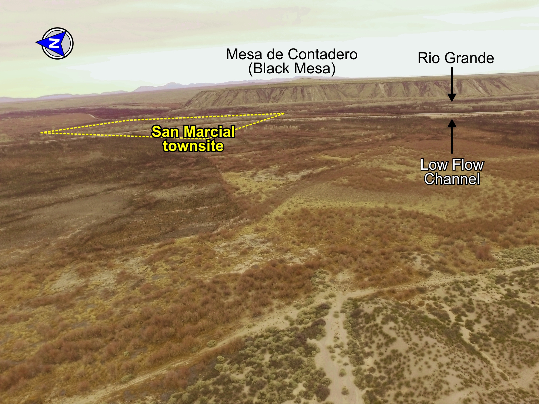
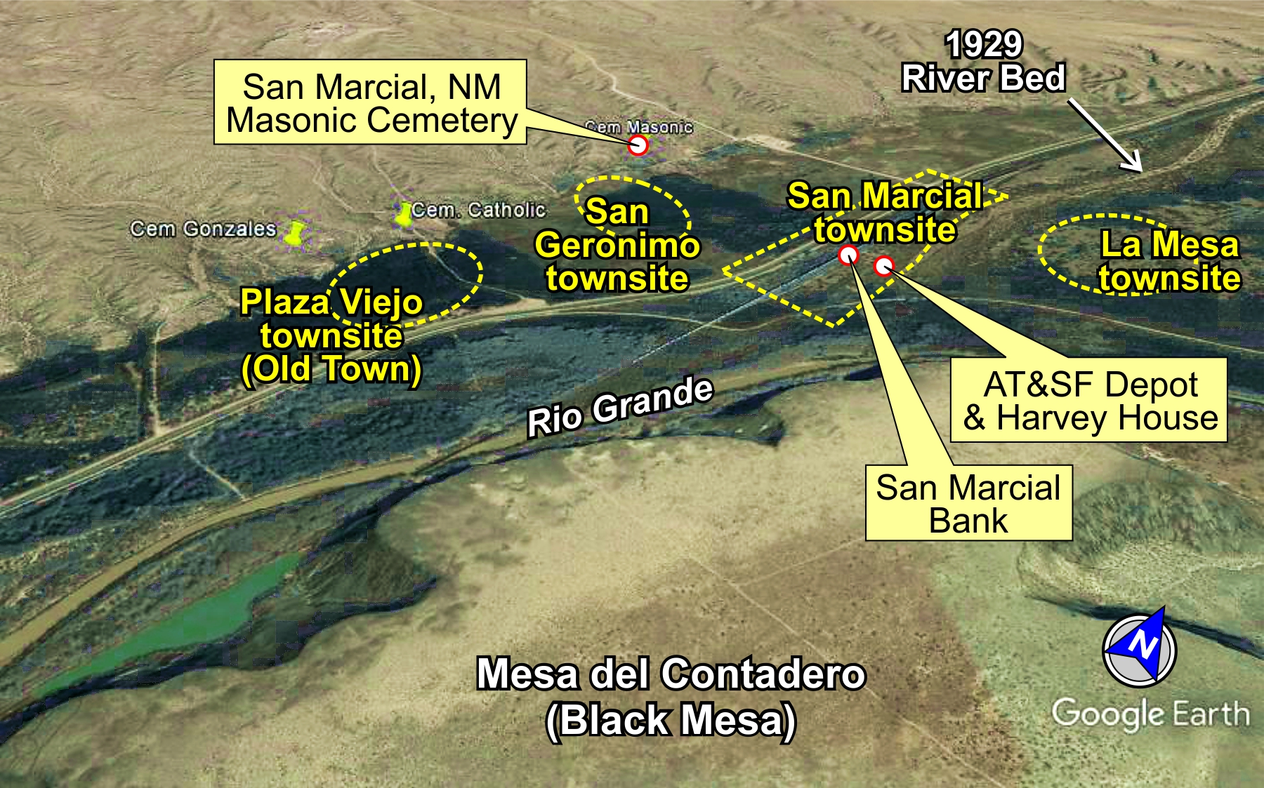
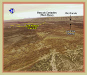
Google Earth image of the
San Marcial area
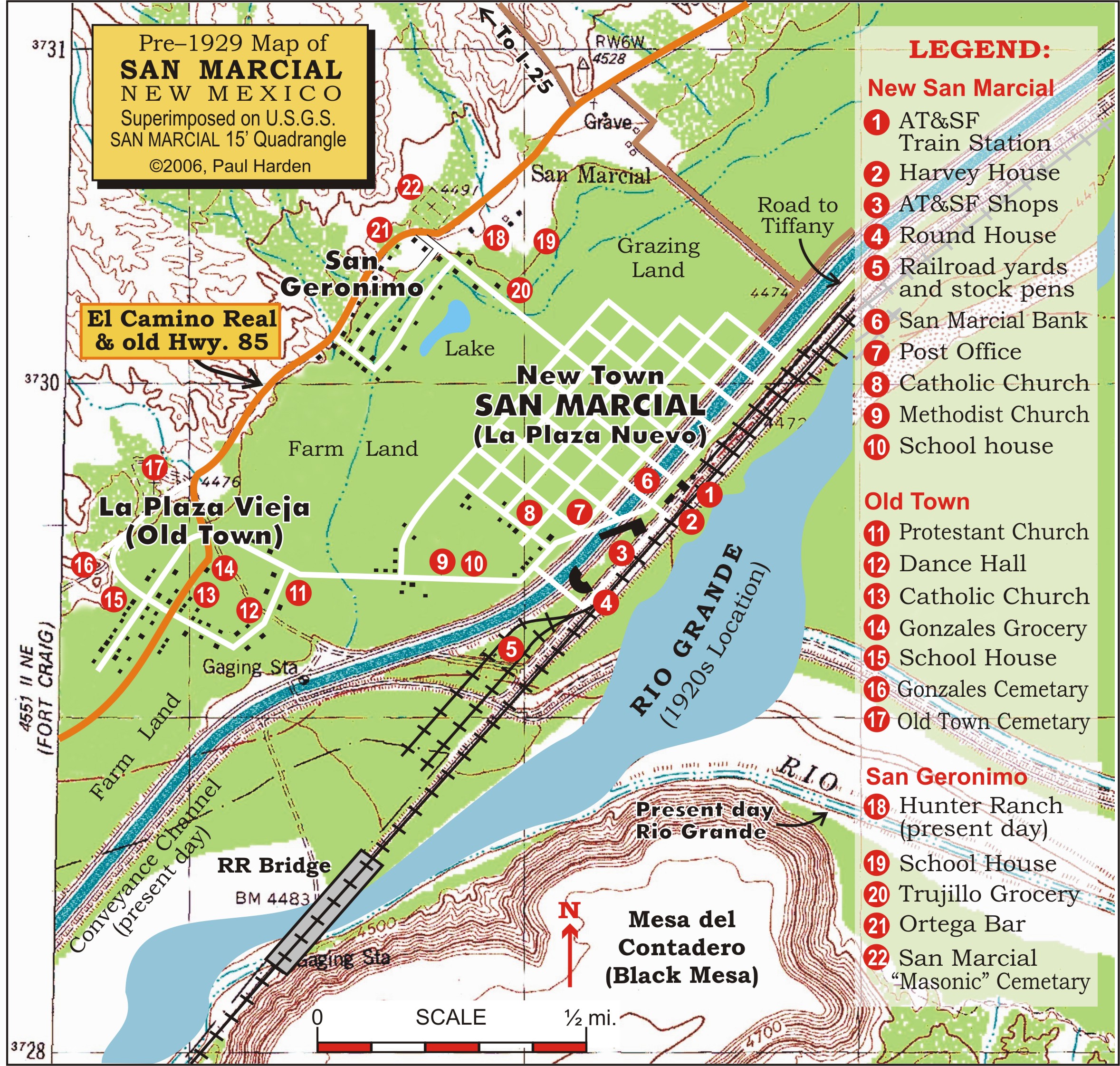
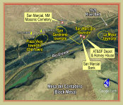
Map of San Marcial
Entering San Marcial from Highway 1
Ruins of a ranch house building at San Marcial
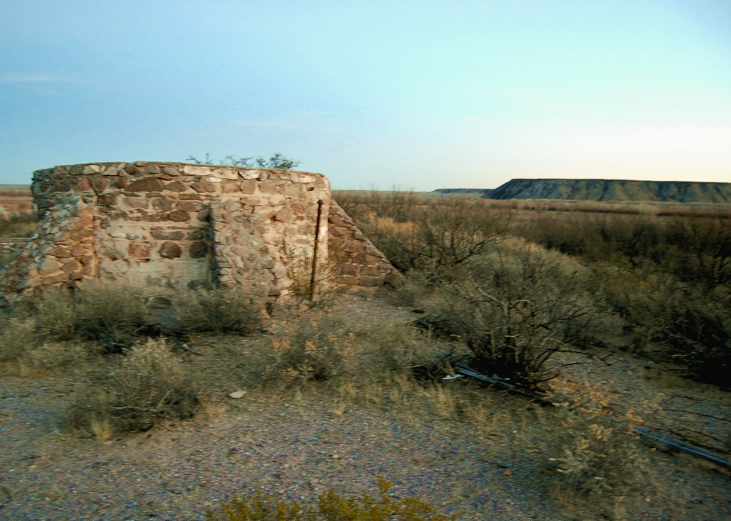
Rock sistern water tank
for the old diary
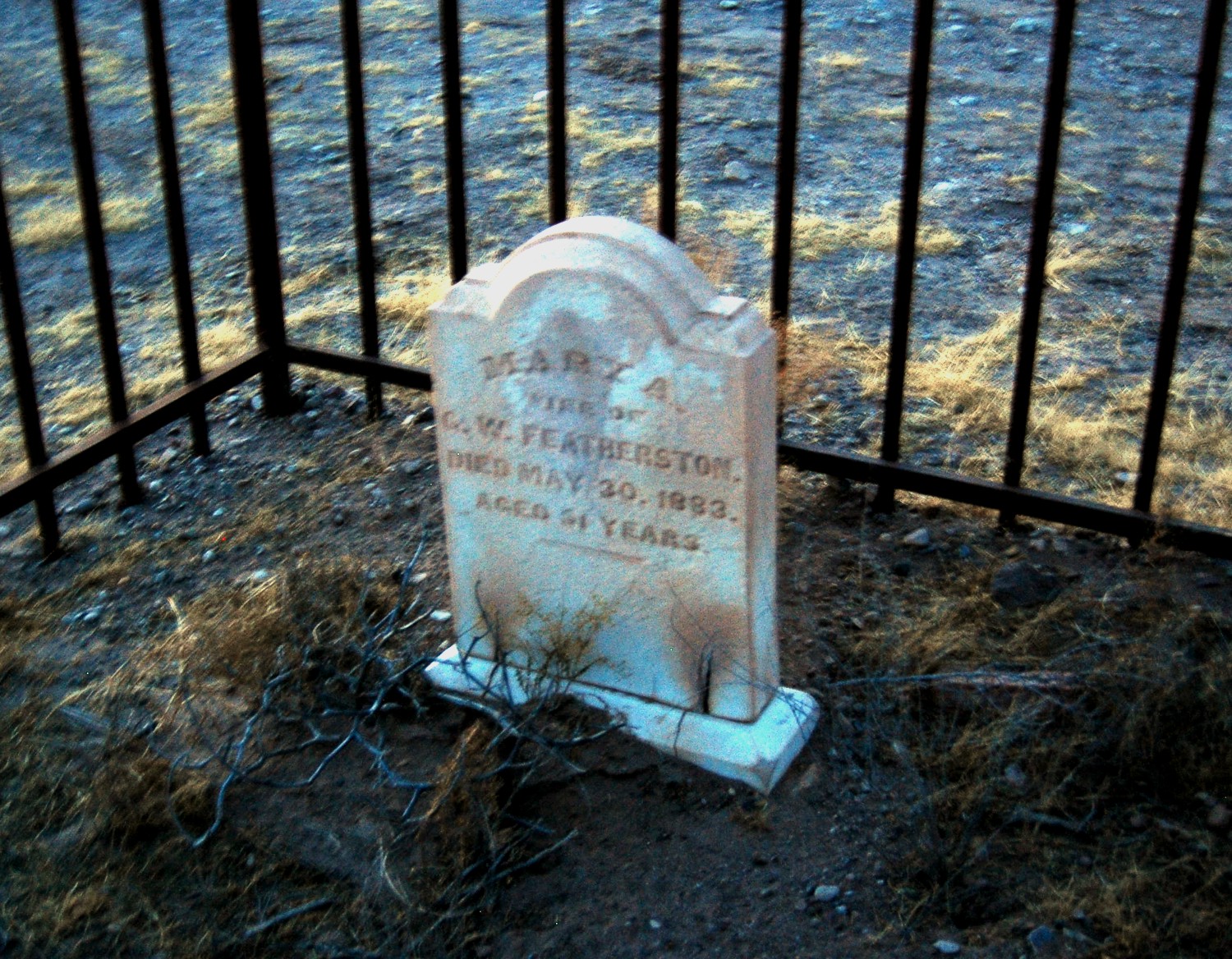
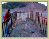
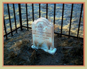
Grave of Mary A. Featherston, died 1883
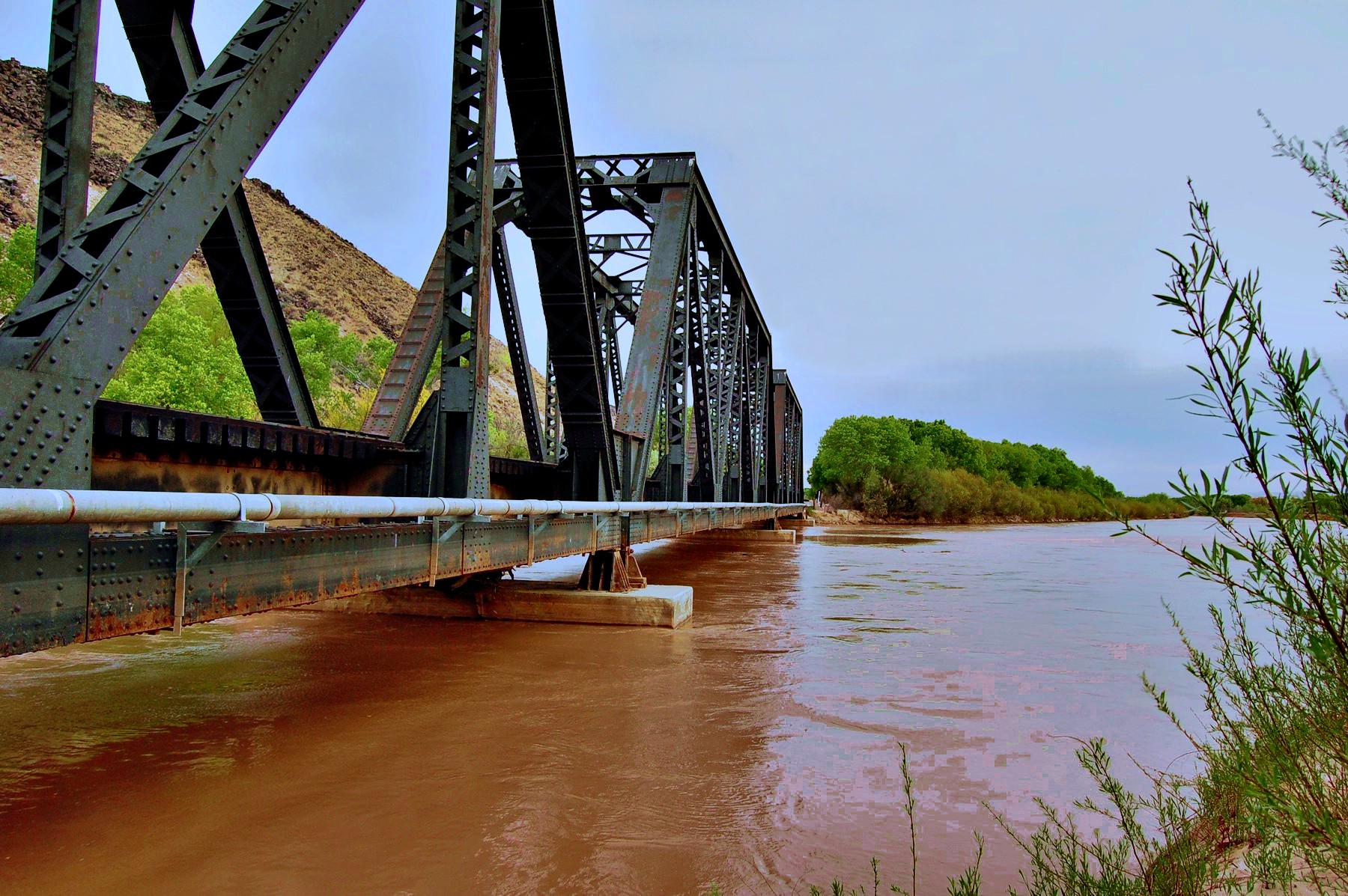
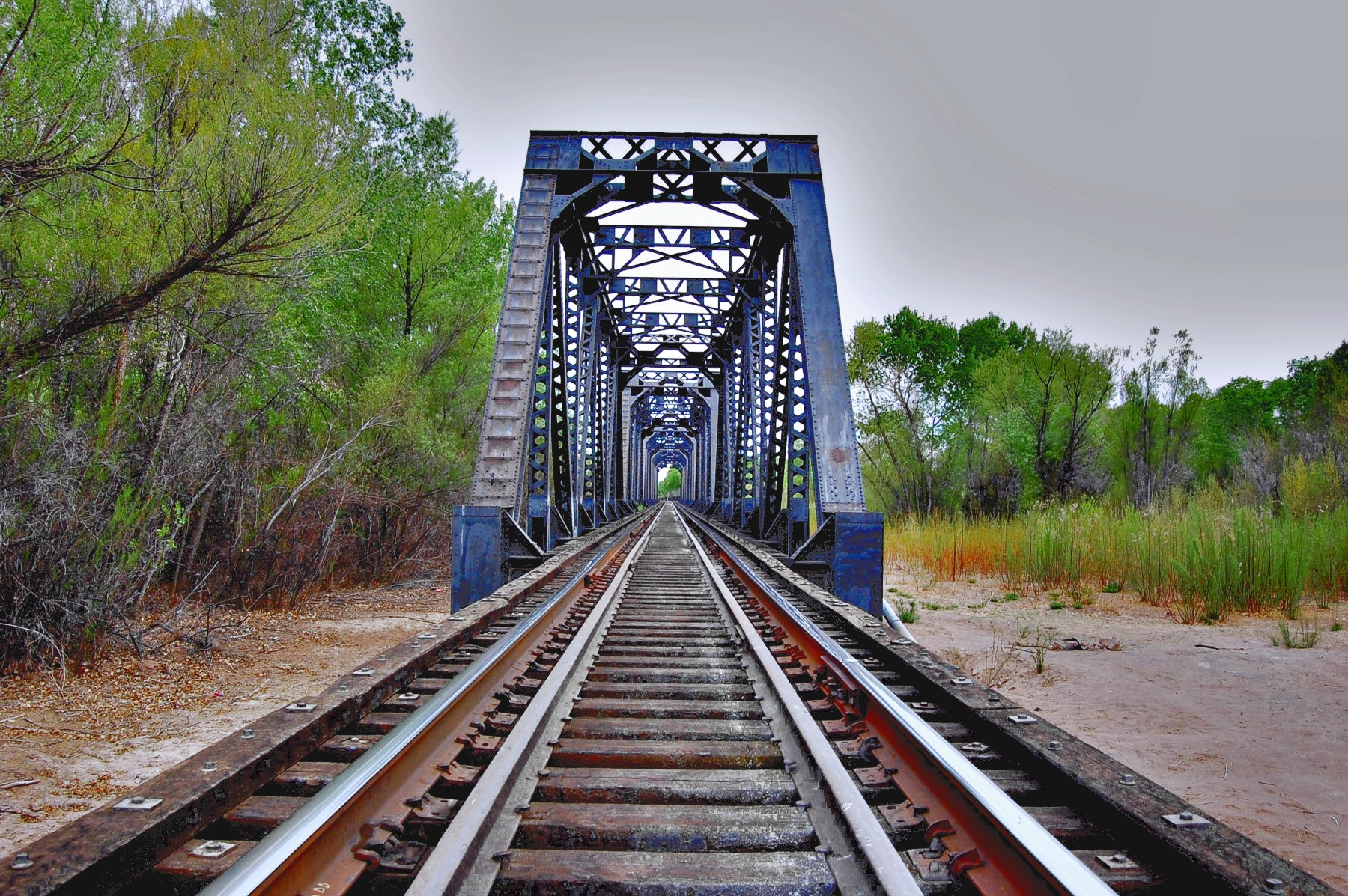
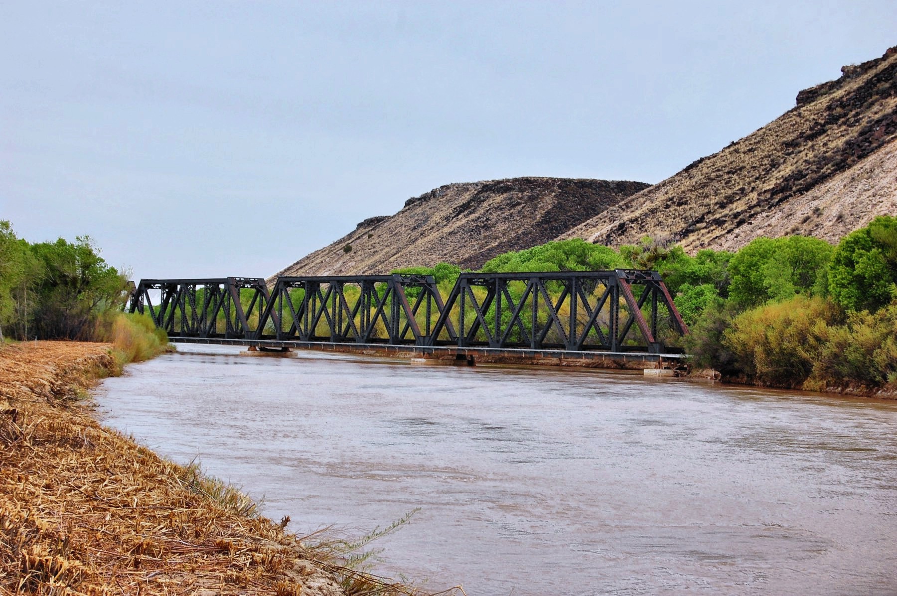
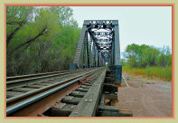
AT&SF Railroad at San Marcial (now BNSF)
The old AT&SF railroad trestle, still in use, crossing the Rio Grande, entering the Jornada del Muerto


Plaza Viejo (Old Town) today
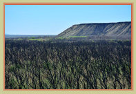
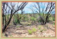
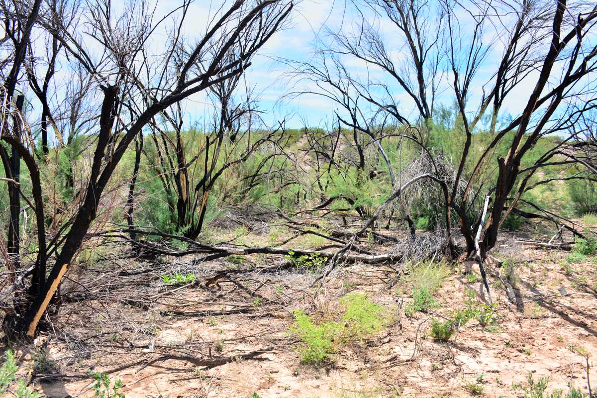
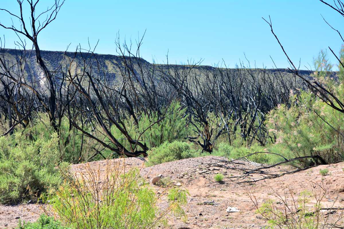
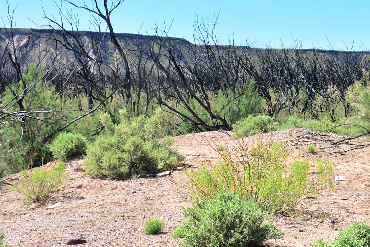
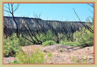
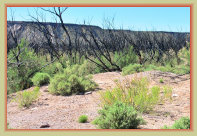
The Plaza Viejo townsite has been utterly reduced to ruins by fire, flood and heavy growths of tamarisk and mesquite over the years. The Tiffany Fire in June-July 2017 burned over 10,000 acres in the San Marcial area, including the Plaza Viejo area causing even more damage to what little remains today .
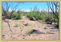

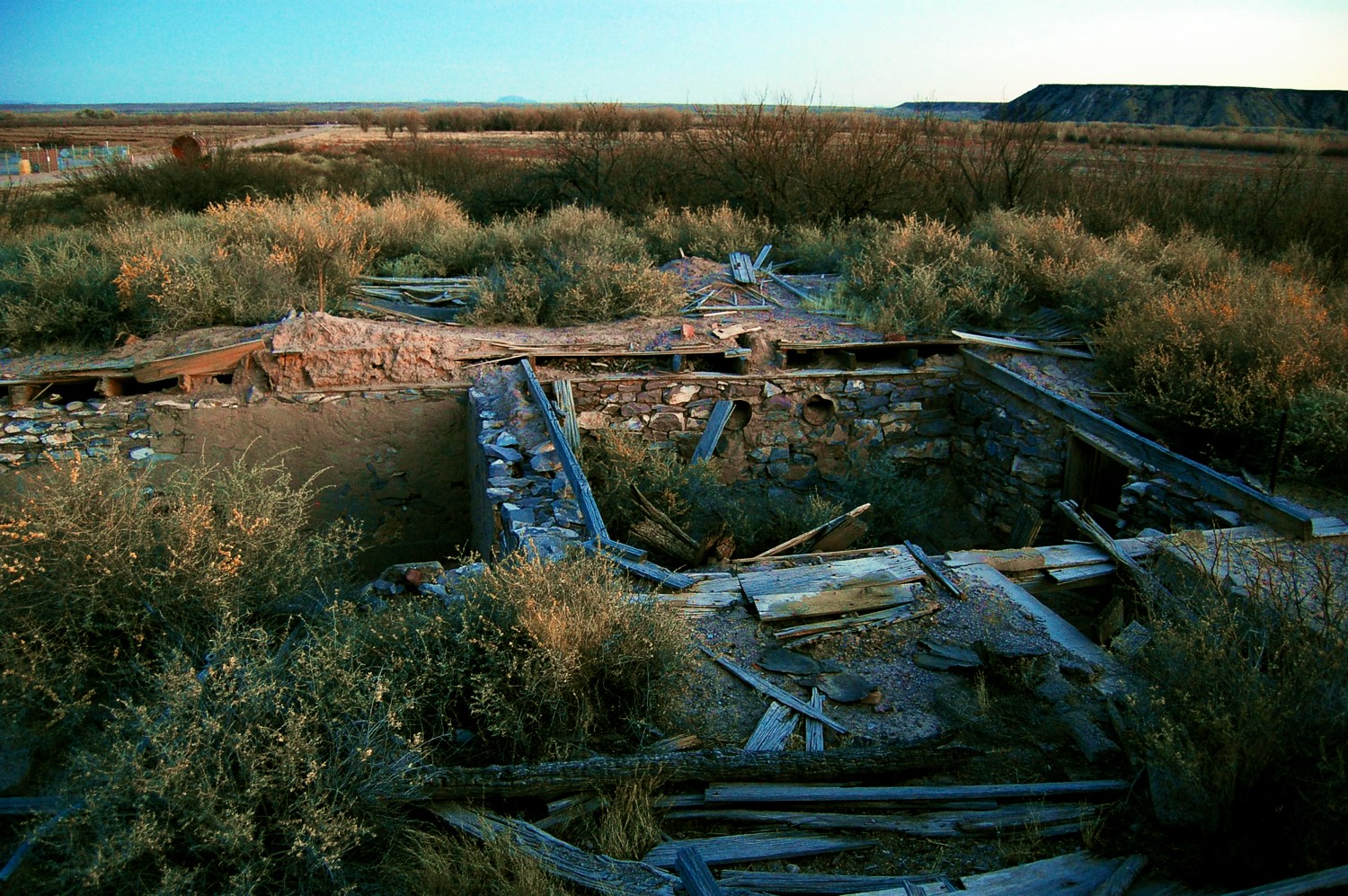
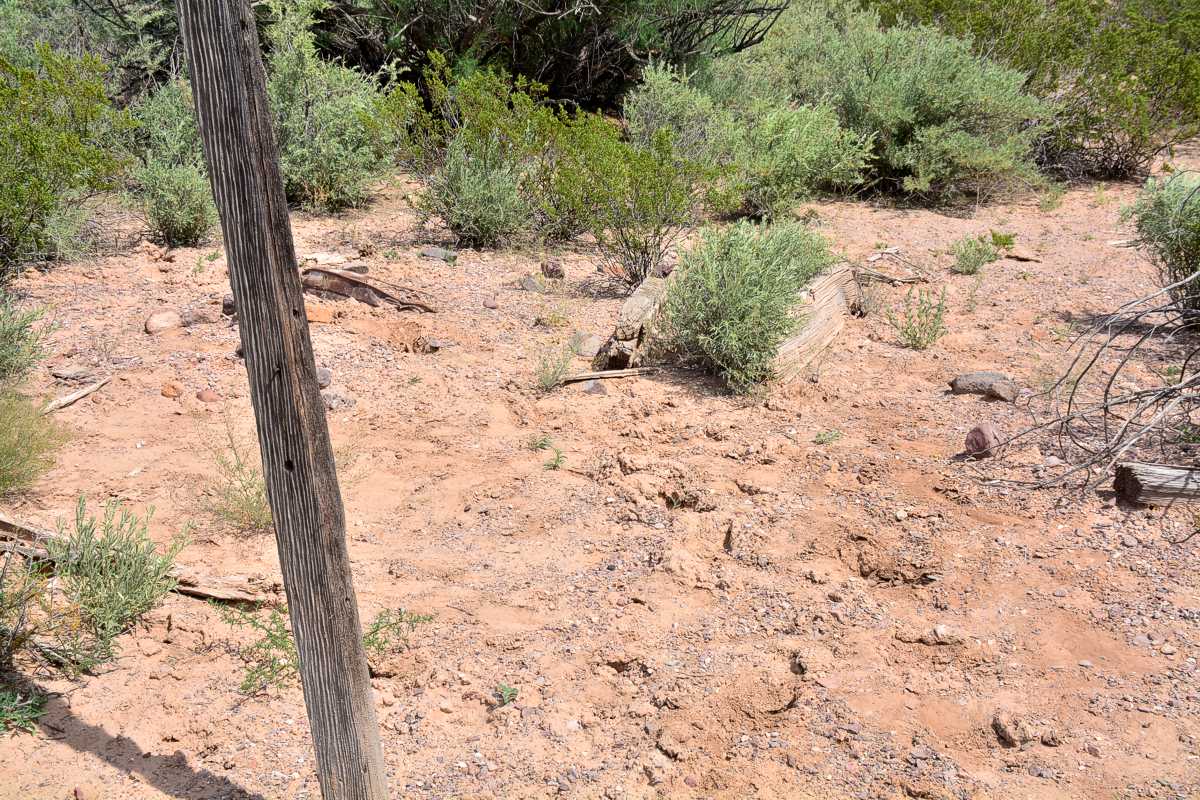
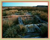
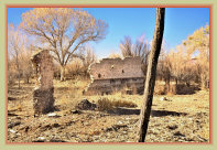
House ruins today at Plaza Viejo. Just scant remains of house foundations, mounds of melted adobe, often surrounded by
broken window glass, glass bottles, broken ceramics, rusted cans, and other items, are all that remain of the town today.
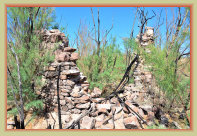
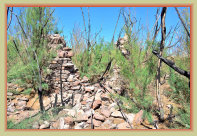
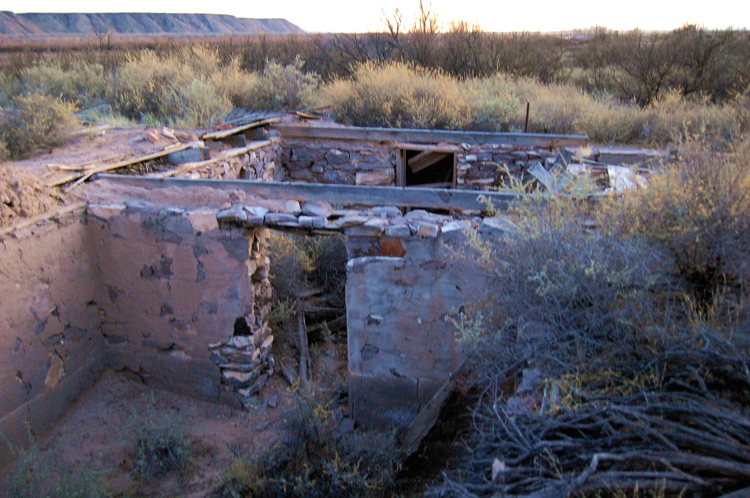
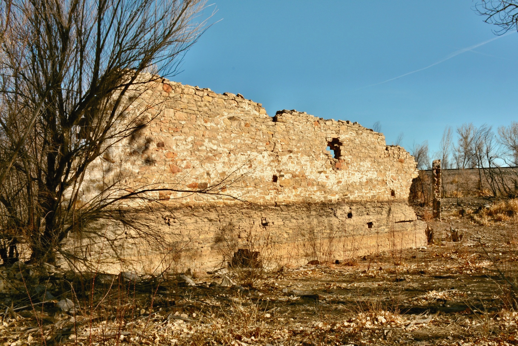
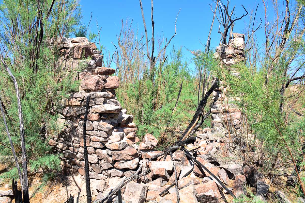
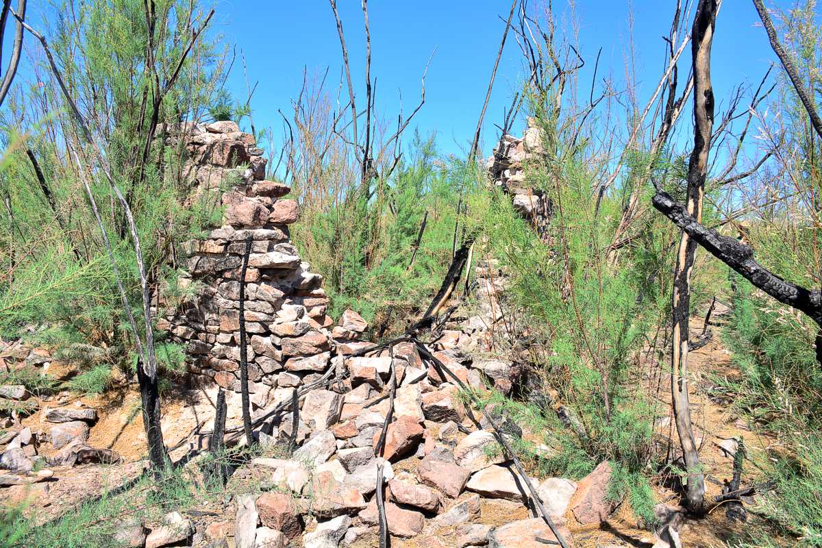
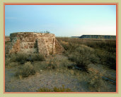
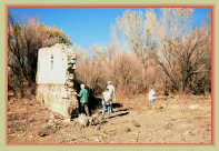
Ruins at Plaza Viejo, identified as remains of the old rock school house near the Catholic church.
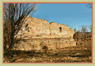
These crumbling rock walls are the most dominant remains of the town today.
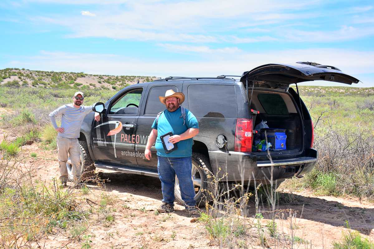
PaleoWest Archaeologists surveyed and recorded all known homesites and foundations at Plaza Viejo in March 2020.
0810/20b
Click photos to enlarge
4
Links: