On this page:
Socorro County Historical Society
Socorro, New Mexico, USA
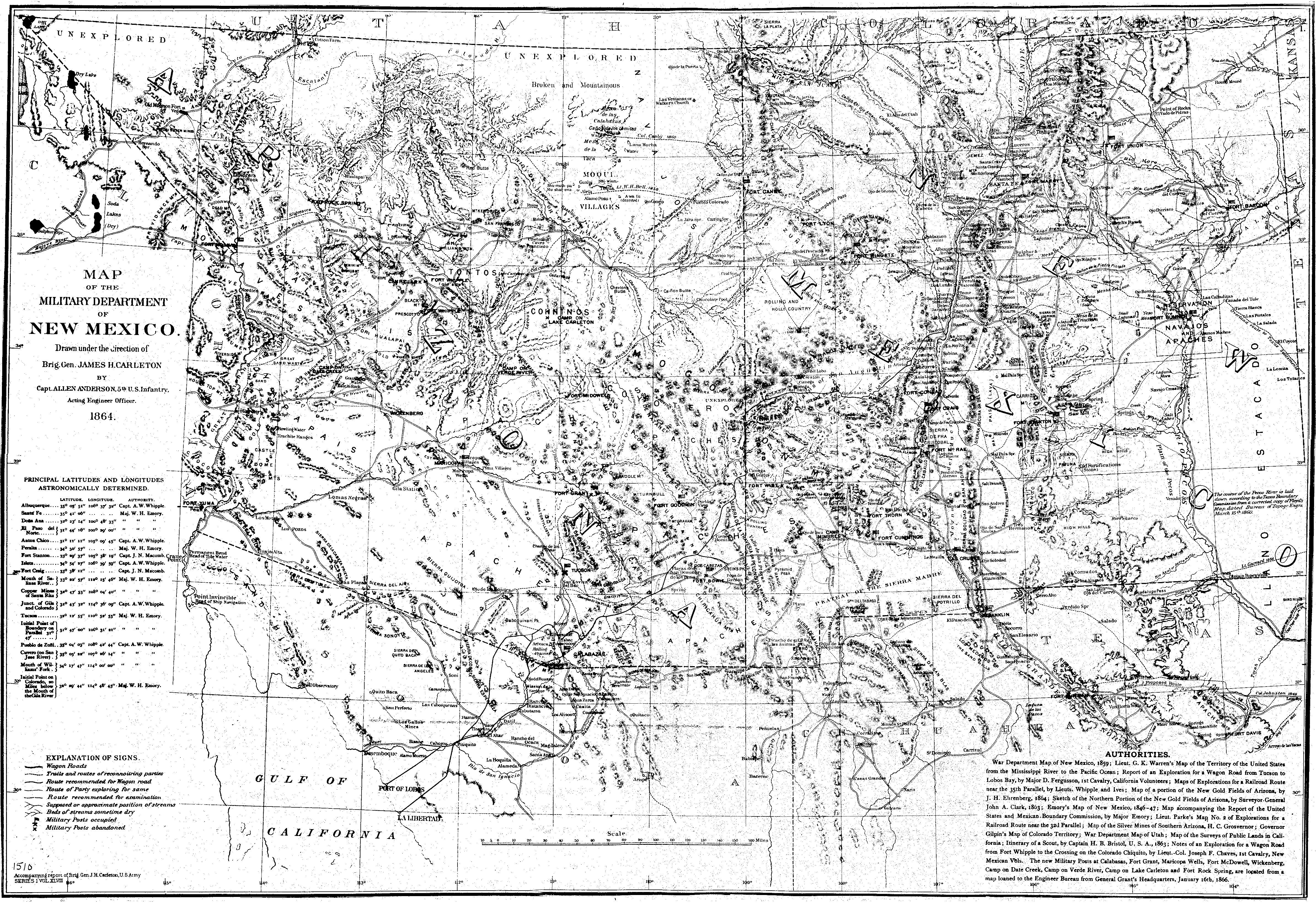
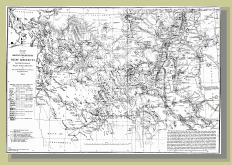
1864 Military Map of New Mexico
1864 map
Military Department
of New Mexico
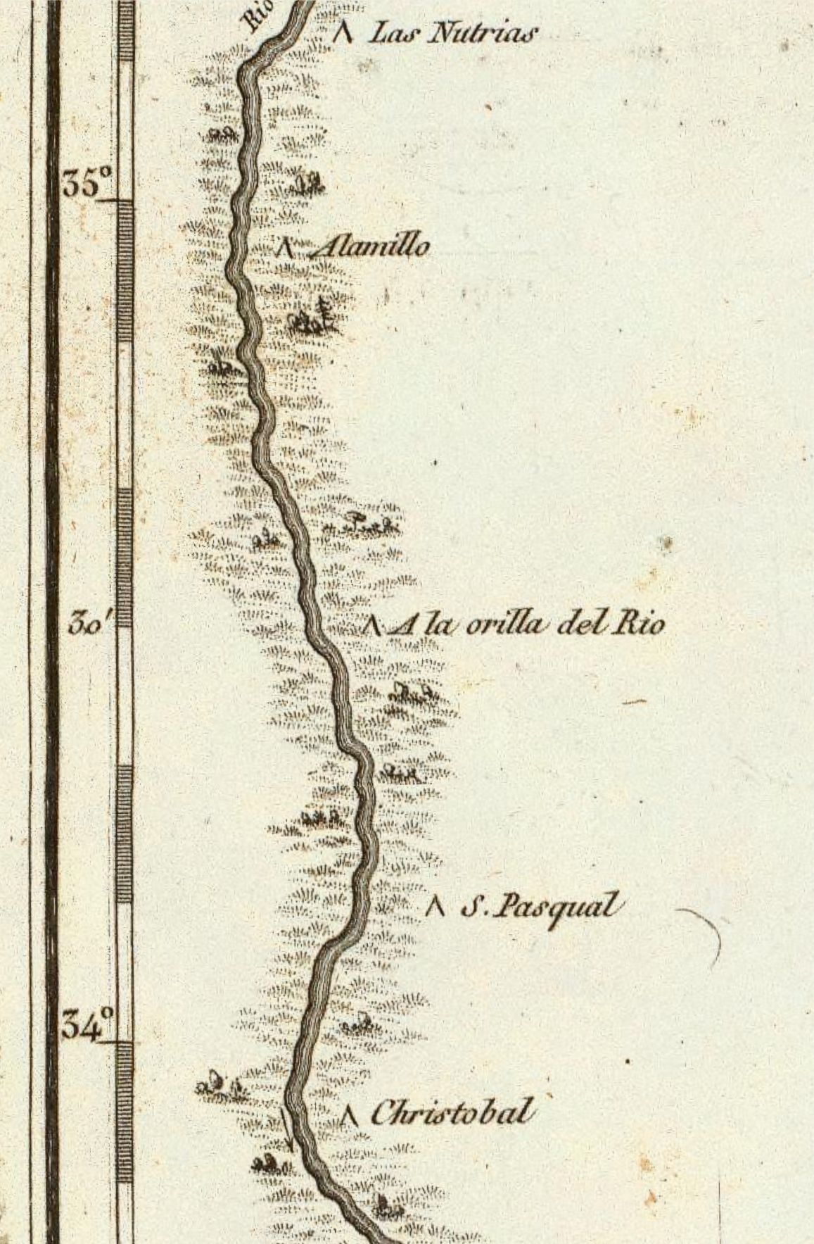
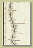
1807 Humbolt Map
Alexander von Humbolt
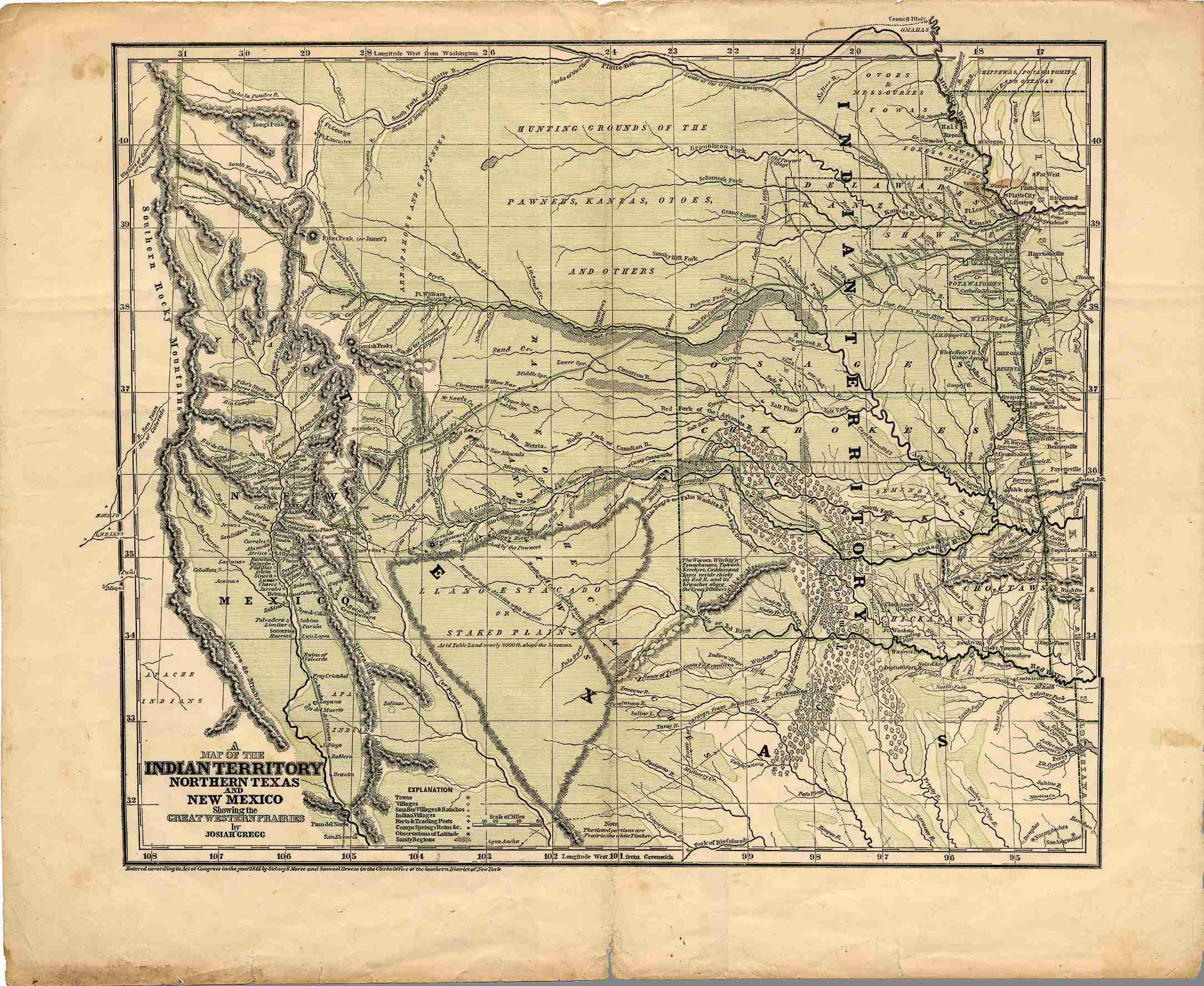
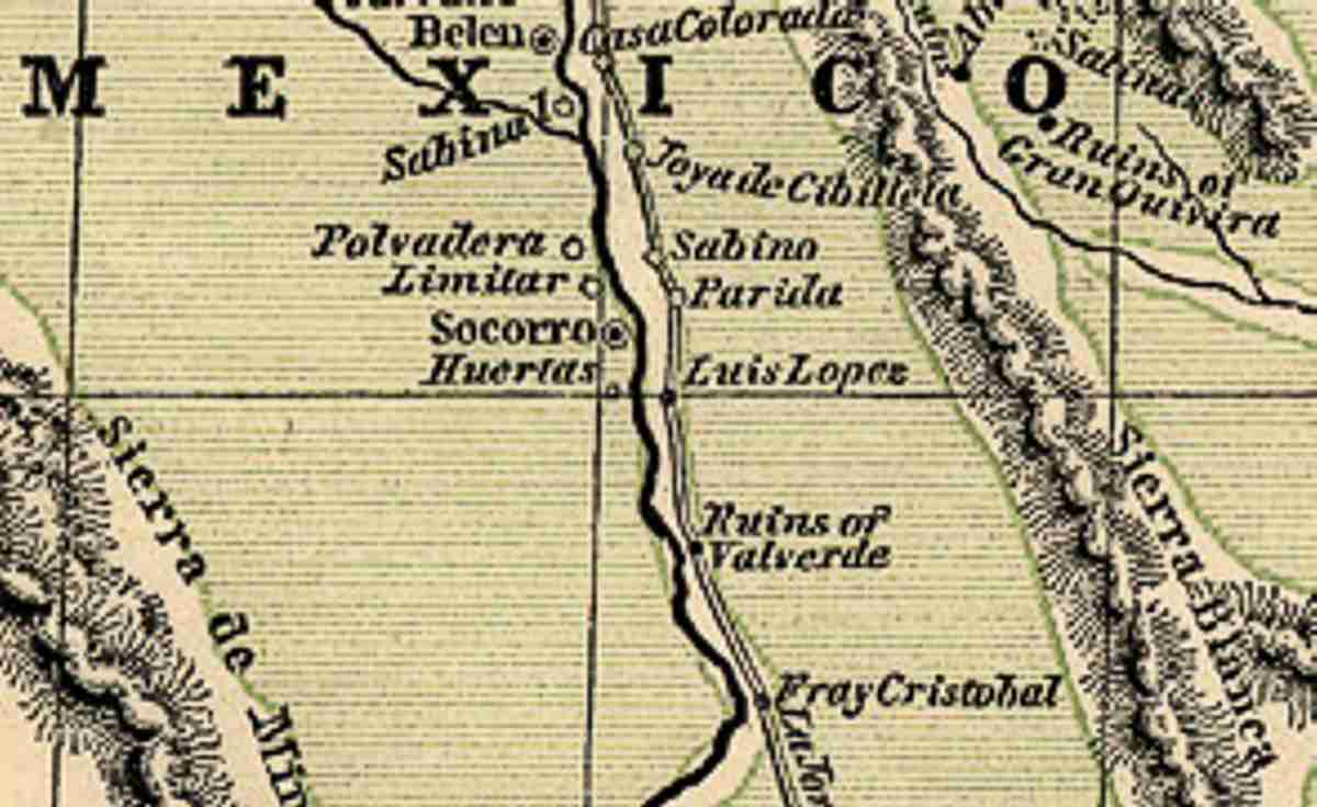
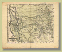
Josiah Gregg Map
Full map
Map of the Indian Territory
Northern Texas and New Mexico
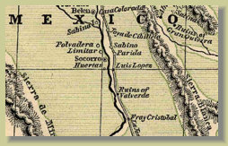
Josiah Gregg Map
Socorro region
Click on maps to enlarge
More to come!!!
Photo Gallery
Maps