El Camino Real de Tierra Adentro
Sponsored by Socorro County Historical Society
Maps, photos, and aerial photography of the trail
Primarily in Sierra & Socorro counties
Soc-S
Website courtesy of the Socorro County Historical Society (SCHS), P.O. Box 921, Socorro, New Mexico 87801 [
SCHS home page]
2
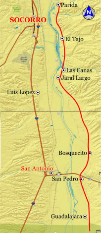


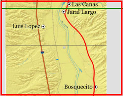

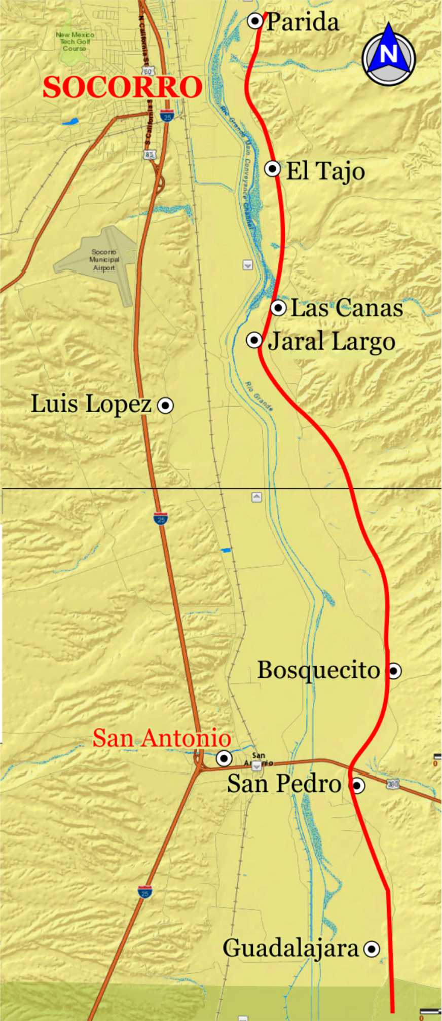
TRAIL SEGMENT ON THIS PAGE:
Bosquecito north to
Jaral Largo & Las Cañas arroyo

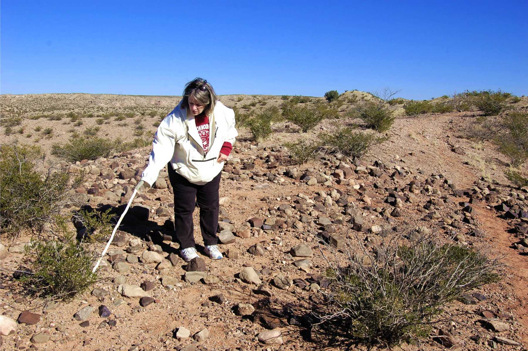
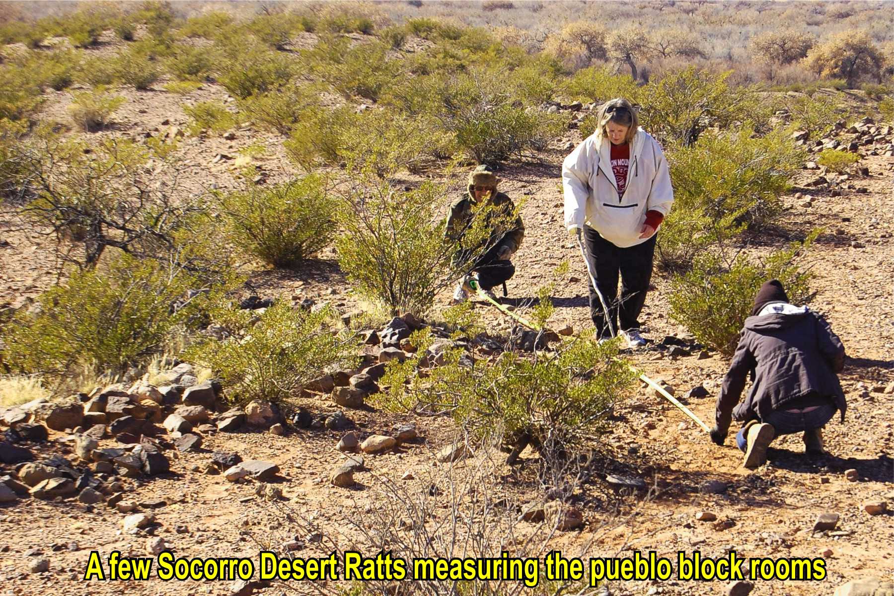
EL NIDO PUEBLO COMPLEX
El Camino Real runs near the El Nido de las Piedras (nest of rocks), a large rock fortified structure and
the nearby pueblo of La Hija del Nido - both pre-Contact pueblos. .

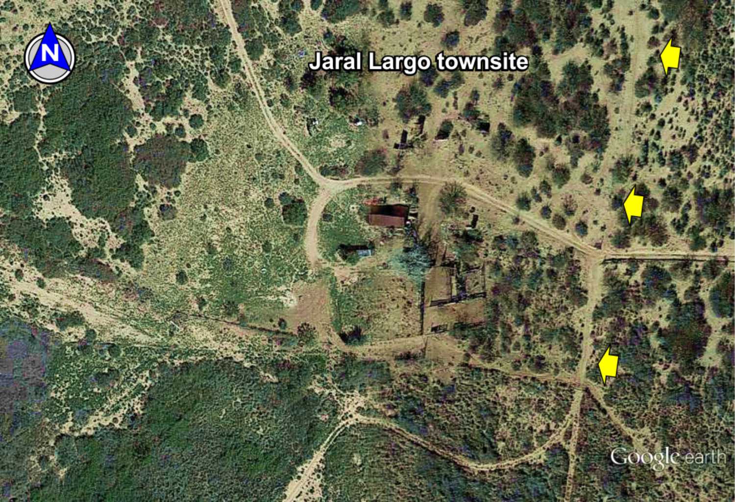
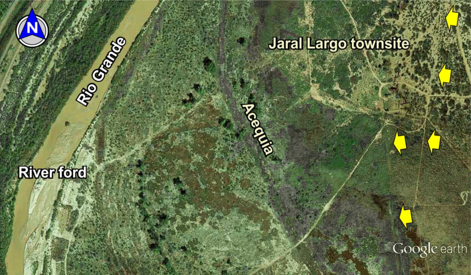
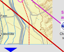
Jaral Largo townsite
A small settlement on the trail from the mid-1800s and shown on the 1906 topo map, about the time of abandonment. Historic structures remain at the site with remnants of the trail running north to Las Cañas and south along the acequia. Jaral Largo was also a known river ford to the west branch of El Camino Real near the village of Luis Lopez for access to Socorro.

River ford
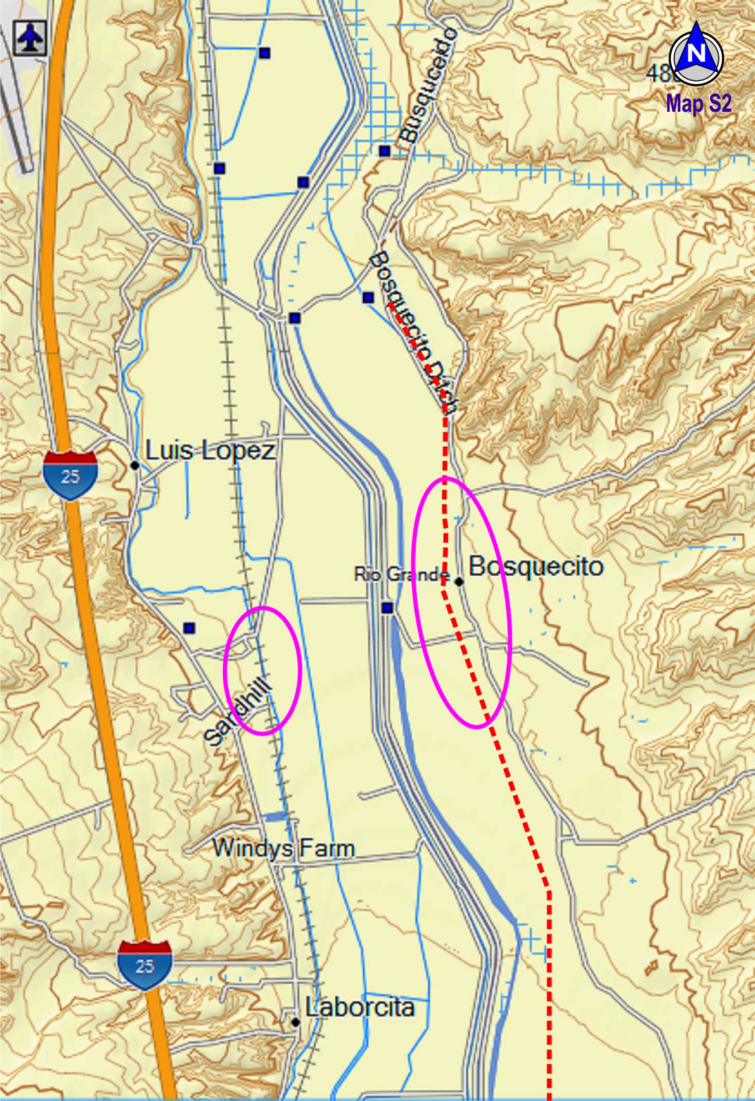
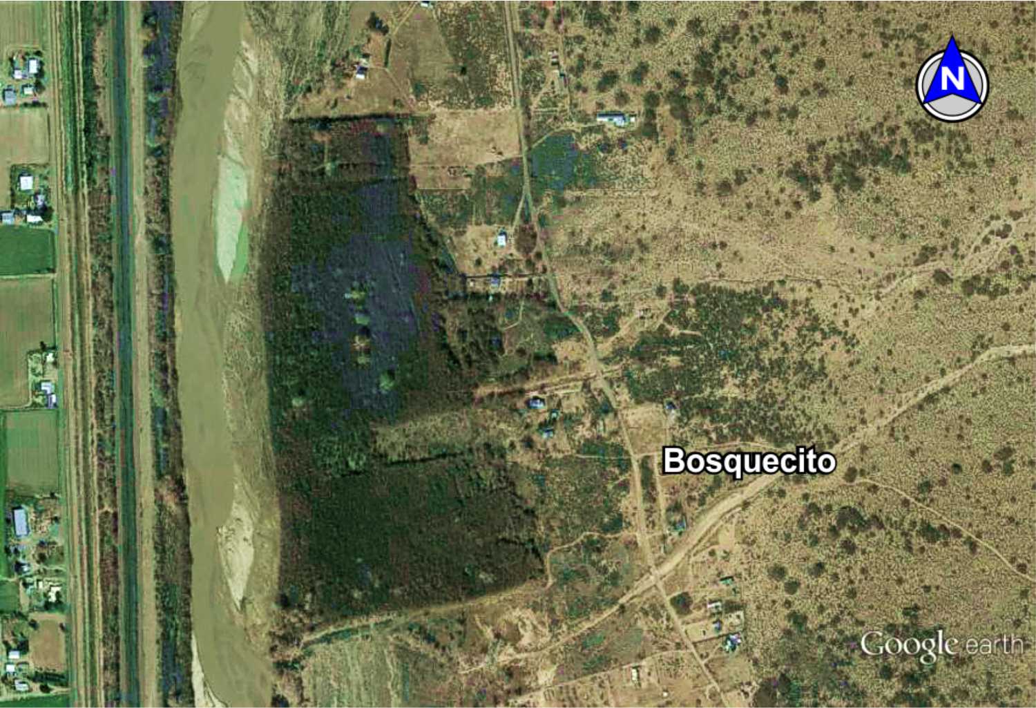
Bosquecito
First mention of Bosquecito is by surveyor Lt. Aberts in 1846 and first shown on the 1860 census as "El Bosquecito" with a population around 100. Much of the village was destroyed during the 1937 flood, with thick bosque and vegetation covering much of the original village. Bosquecito remains a small occupied town of old families engaged in farming and ranching.
Oral history of the old families in Bosquecito indicate El Camino Real ran in front of the San Gabriel mission church, destroyed in the 1937 flood. The church site and trail is now covered with tamarisk and salt cedar. The church site and old cemetery is known (see GoogleEarth image)

San Gabriel church
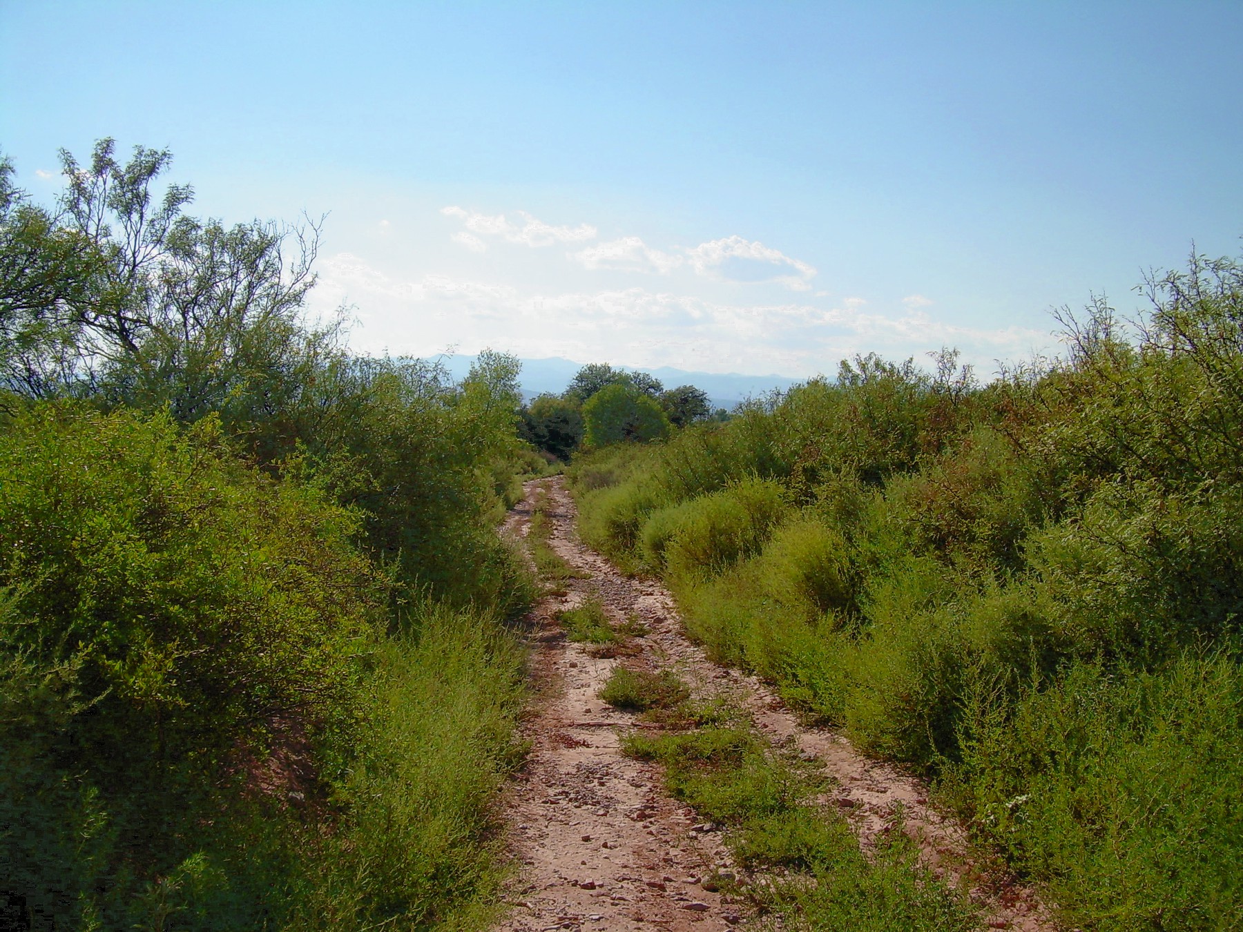
and the trail
Click NEXT MAP for trail photos through Las Cañas arroyo
Townsite
Church
site
Church
road
Townsite

TEYPANA PUEBLO
This was the pueblo that gave the Juan de Oñate expedition corn and other food in May 1598, for which the people renamed
it "Socorro" for the assistance they received. This was the first Socorro, moved to the Pilabo pueblo (today's Socorro) in 1620s
as the Spaniards ordered the abandonment of all but the mission pueblos.

The Camino Real Mapping Project
on these web pages
is the exclusive work of the
members of the Socorro County
Historical Society and other
volunteers dedicated to
documenting, mapping, presenting,
and preserving the historic trail.
GoogleEarth
image
Drone
aerial photo
Trail photo
Notes or
documentation
LEGEND
Aerial photos with DJI Phantom 3 quadcopter camera