Socorro County Historical Society
Socorro, New Mexico, USA
History
Articles
On this page:
The Kelly Mine & Traylor Shaft
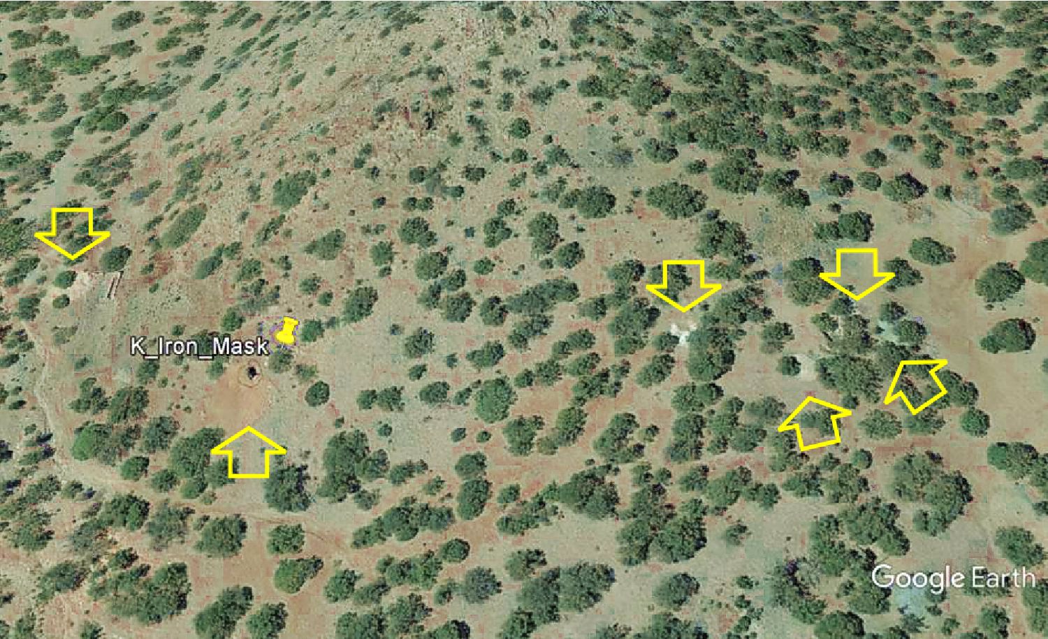
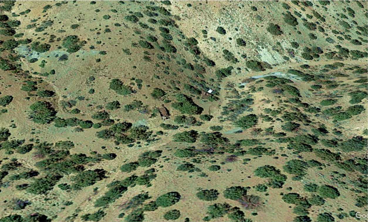
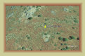
The Iron Mask mine is located in the area known as "South Camp," on the southern boundary of mining activity
in the Kelly region. The Iron Mask was one of the earliest claims to be worked south of Kelly, but evidently without much success,
as the workings were reported as flooded in 1881. The mine was worked in 1913-1914, and again 1928-1929, but no output was reported.
The hope was to tap into the southern edge of the large ore body being mined by the Graphic, Waldo, Nitt and Kelly mines, but
with little success. As a result, there are several prospecting shafts of varying depths in the vicinity. The small piles
of waste rock indicates there was no extensive mining at the Iron Mask.
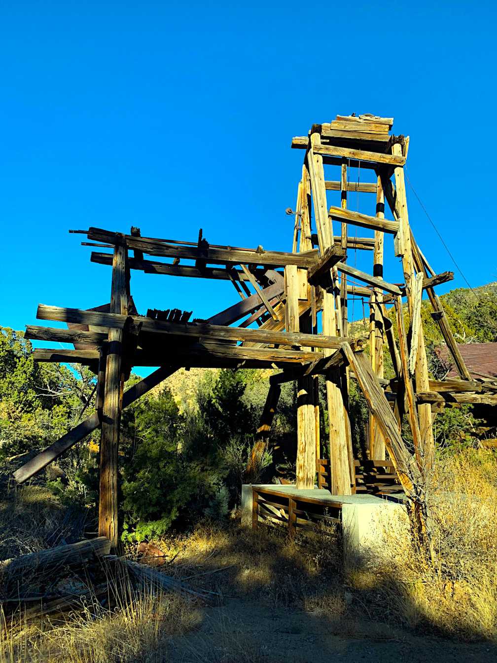
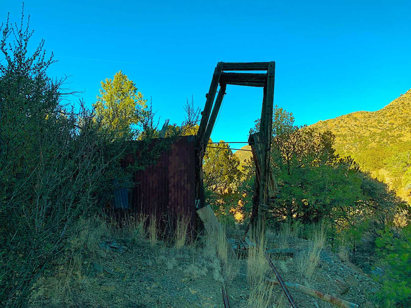
In September 2009, a Magdalena man,
David Heiss, was found dead at the bottom of one of the Iron Mask shafts. He had been missing for over a month. His
vehicle was found parked near the mine, prompting a search of the area. His body was found floating in water at the bottom of
an 85-foot shaft. It was a major rescue mission involving numerous agencies, special techniques and equipment, and thousands
of dollars to recover the body over several days.
A State Police dive team determined the water to be a biological
hazard with the shaft filled with dead animal carcasses and foul gases. Rescue specialists were brought
in from the Waste Isolation Pilot Project (WIPP) near Carlsbad and from the mines at Questa. A Search and Rescue team from the
National Park Service was lowered into the shaft in a specially designed rescue cage that was able to finally recover the body.
The rescue personnel determined Heiss had repelled into the shaft with a rope. The fragile mine shaft collapsed
on his descent, pinning the rope on the rubble from the caved in wall, and hurled him to the bottom of the shaft.
This serves as an example of how even with proper repelling skills, an old
hard rock shaft (or tunnel) can cave in with little
disturbance, or one can succumb to lack of air or foul gases.
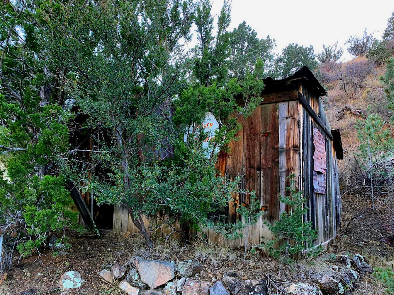
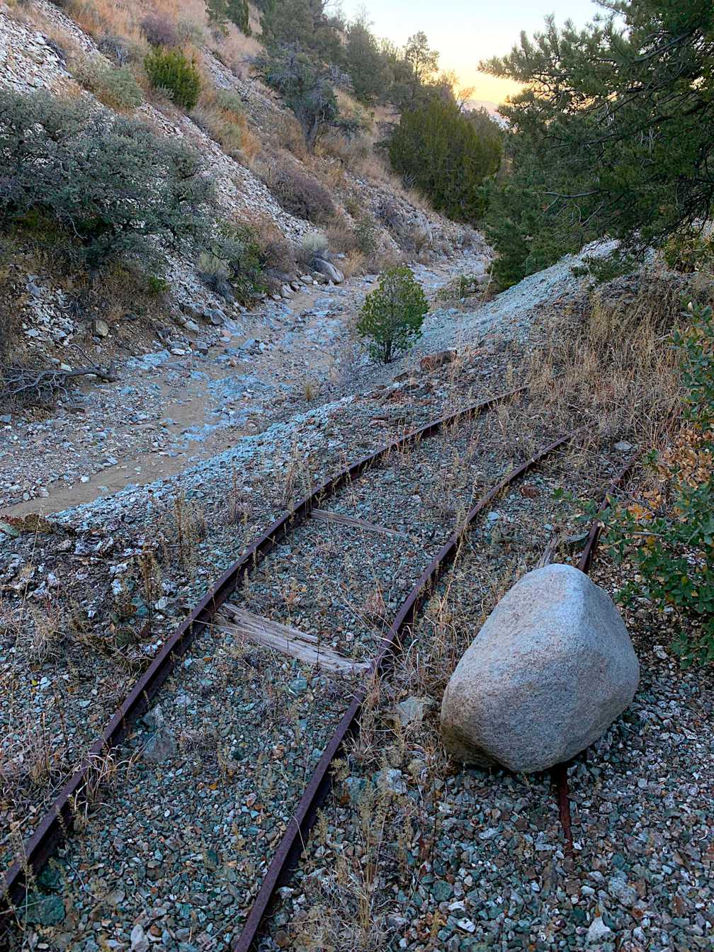
Mines are interesting and fun to explore, but should never
be entered. There are many open shafts in the Kelly region one should always be on the lookout for when exploring.
Google Earth image
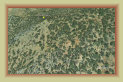
The Morning Star group is located just north of the Iron Mask mine. Mining reports cite small shipment
of ores in 1922 and 1934-1936 containing lead, copper, and small amounts of silver and gold. Not much else is known about this
small mining operation. No remnants of the mine could be found when the South Camp mines were surveyed for this website.
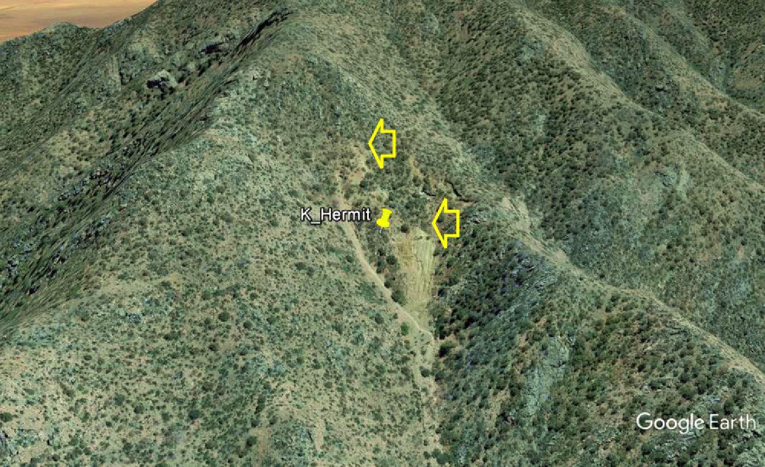
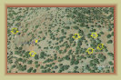
The
Hermit mine is located about 0.3 miles southeast and up the canyon from the
Hardscrabble mine, near
the summit of the ridge. Little documentation has been found on this mine except it produced lead, zinc and copper similar to most
mines in the region. Aerial photos show two separate waste rock dumps, one with a noticeable tunnel portal, suggesting a fair
sized operation at one time. Remants of a couple collapsed buildings, ore bins or other structures are also evident.
The upper portal is about 8,000 feet. No information has been found on ownership or years of operation. The mine is located
high above the road on a near vertical rocky face of the canyon, making it virtually inaccessible. Makes one wonder how
the workers got up there to work the mine.
Google Earth image
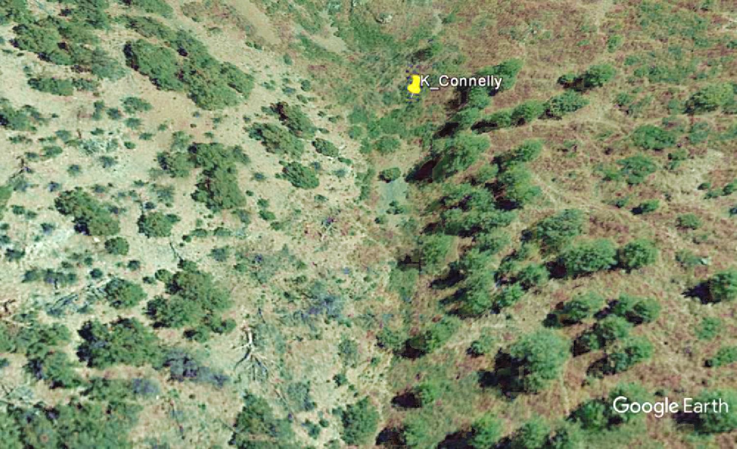
The
Connelly tunnel is located about 1,800 feet south of the
Grand Ledge workings. A number of
quartz veins were encountered in the tunnel
with small amounts of ore. The small ore dump indicates a very limited operation.
During a 1942 inspection, the tunnel was found to be inaccessible due to a cave in.
Google Earth image
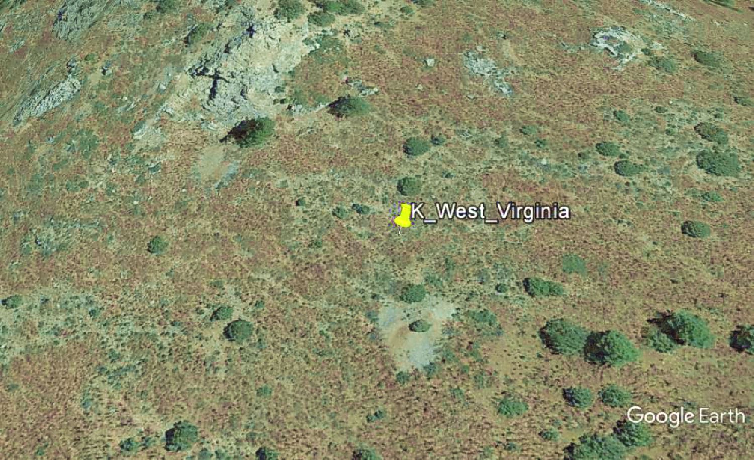
The
West Virginia tunnel is about 900 feet southeast of the
Connelly tunnel. The tunnel
is 160 feet in length. The tunnel ended up being an unsuccessful exploratory prospecting as no veins were found or developed.
Google Earth image
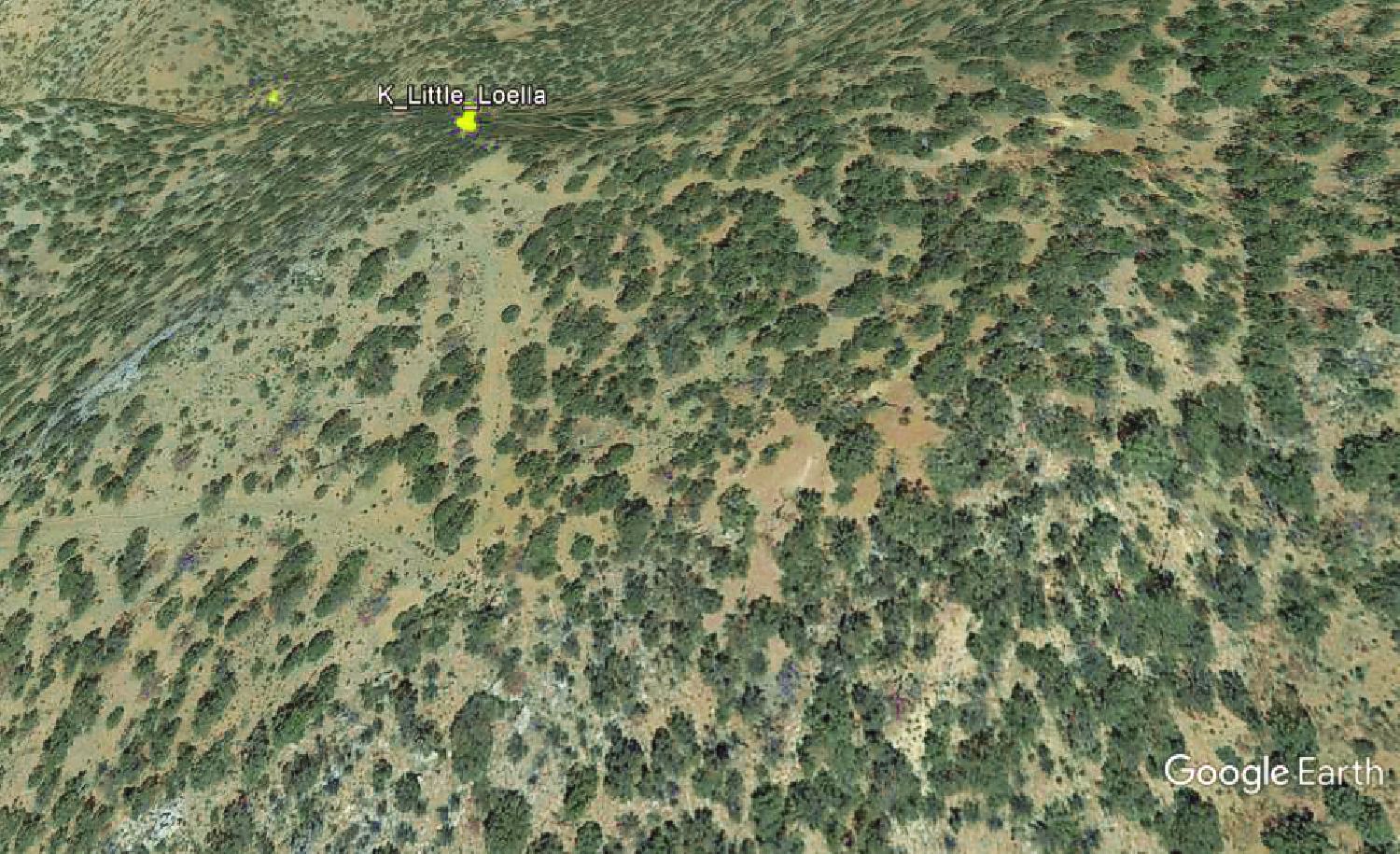
The
Little Loella mine is about 1,600 feet south of the
Germany mine. The workings include three
tunnels, the upper tunnel at about 8580 ft. elevation. The lower tunnel, at an elevation of 8485 ft., is 65 ft. in length
with
a 30 ft. drift to the north into zinc ore. The two upper tunnels at an elevation of 8580 ft. are about 150 ft. in length running
northward. The lower of the upper two tunnels struck high grade zinc ore.
Google Earth image
Not much is known about this North Camp mine, in spite of fairly extensive mine workings. Only scant mentions exist in
the mining reports of the era. Lead, zinc and copper were mined, with scant
amounts of silver and gold recovered, though
production stats
are unknown.

Google Earth image
Do not confuse with the Mockingbird Gap mine in eastern Socorro County.
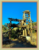
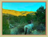
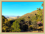
Lower Mine Workings
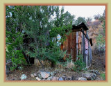
Upper Mine Workings
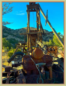
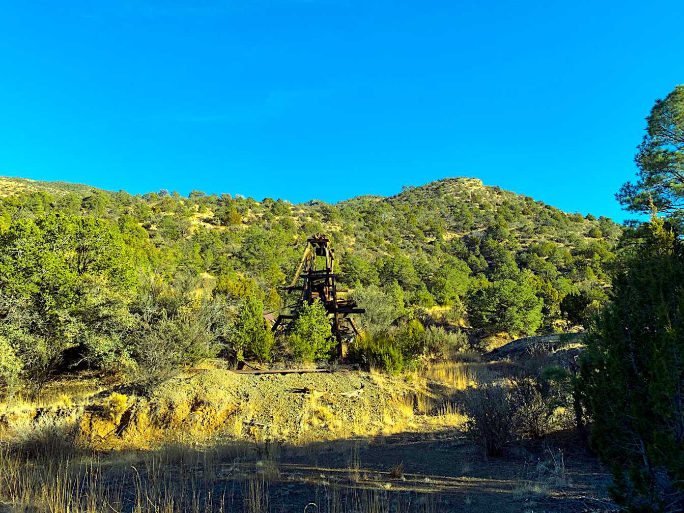
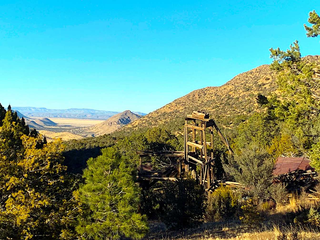
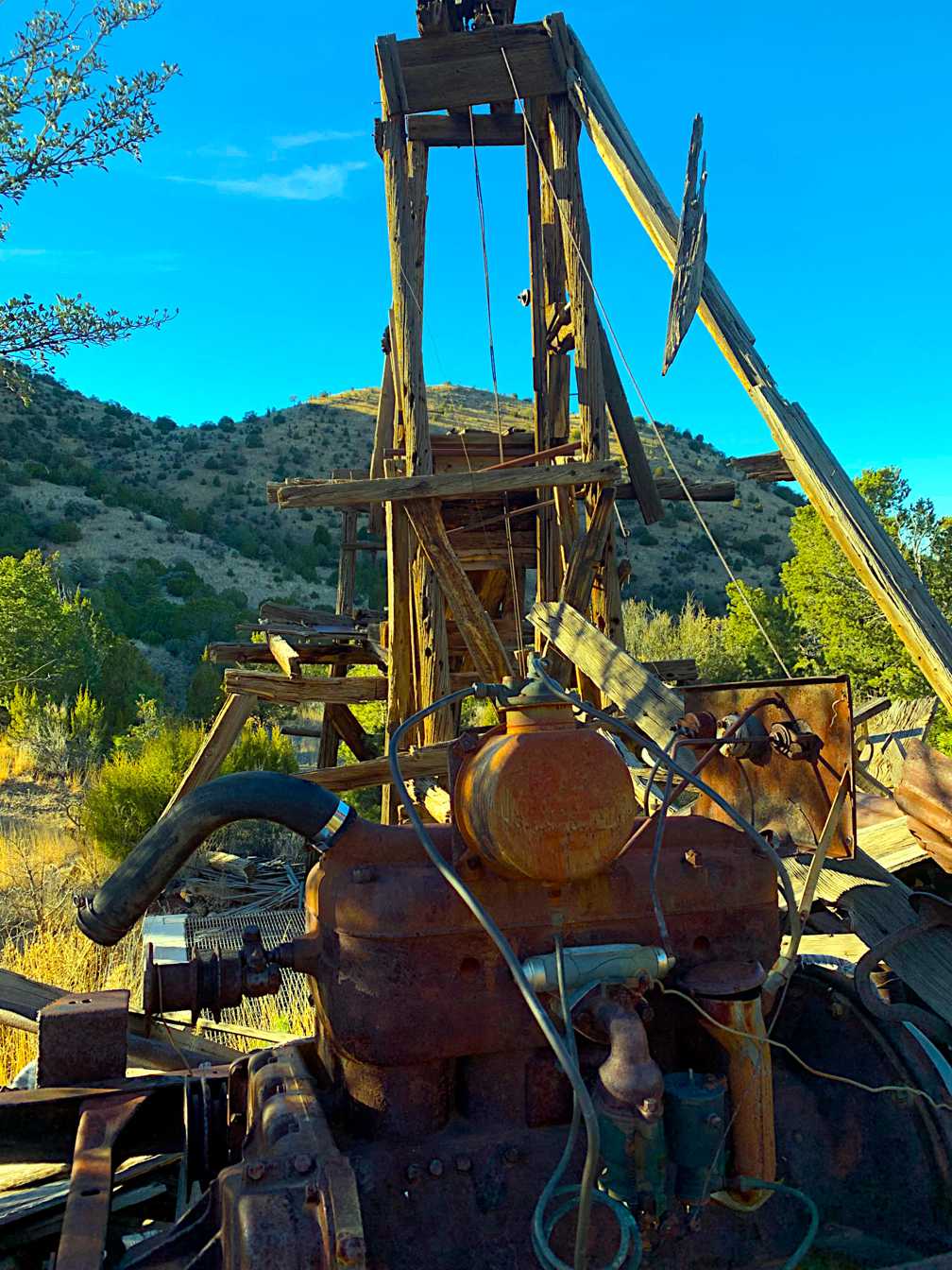
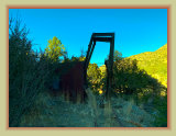
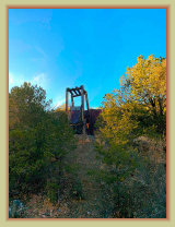
Mockingbird Mine
headframe
Mines2
4
0723d
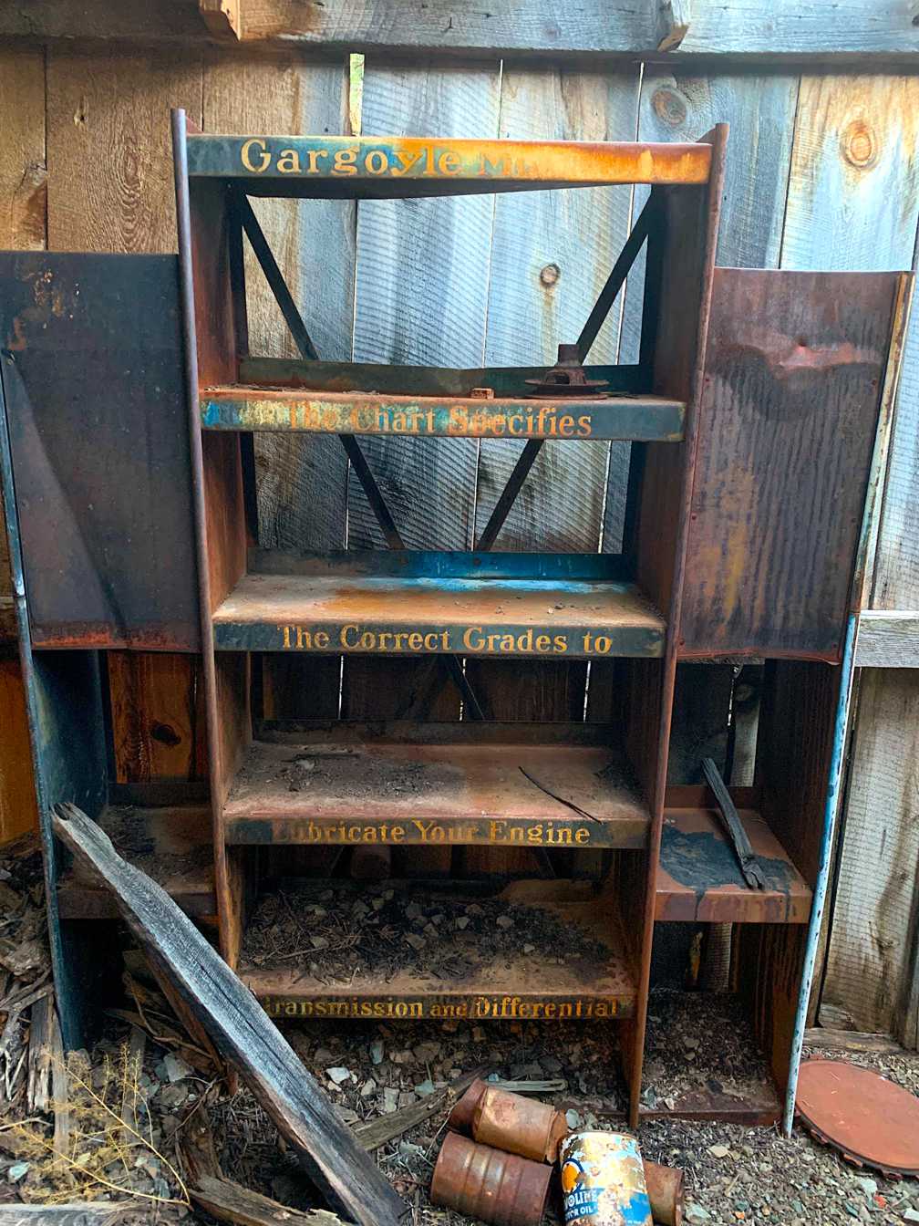
Photos courtesy of: Matthew McCleary