Some photos of the SCHS led tour for
Camino Real Trail Assn. (CARTA)
On this page:
and the Jornada del Muerto
Armendaris Tour
Website courtesy of the Socorro County Historical Society, P.O. Box 921, Socorro, New Mexico 87801
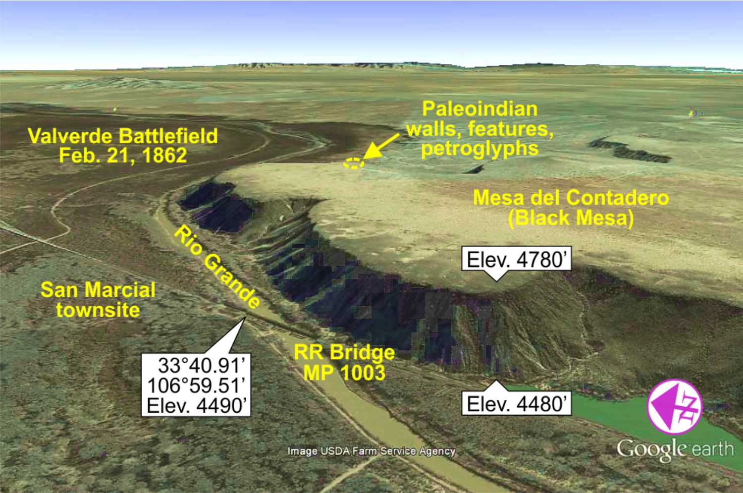
SCHS Armendaris Tour
April 30, 2016
SCHS Board members Paul Harden and Peggy Hardman served as the guides
for the April 30, 2016 tour to Valverde, Black
Mesa, El Camino Real trail and other historic sites
on Ted Turner's Armendaris Ranch
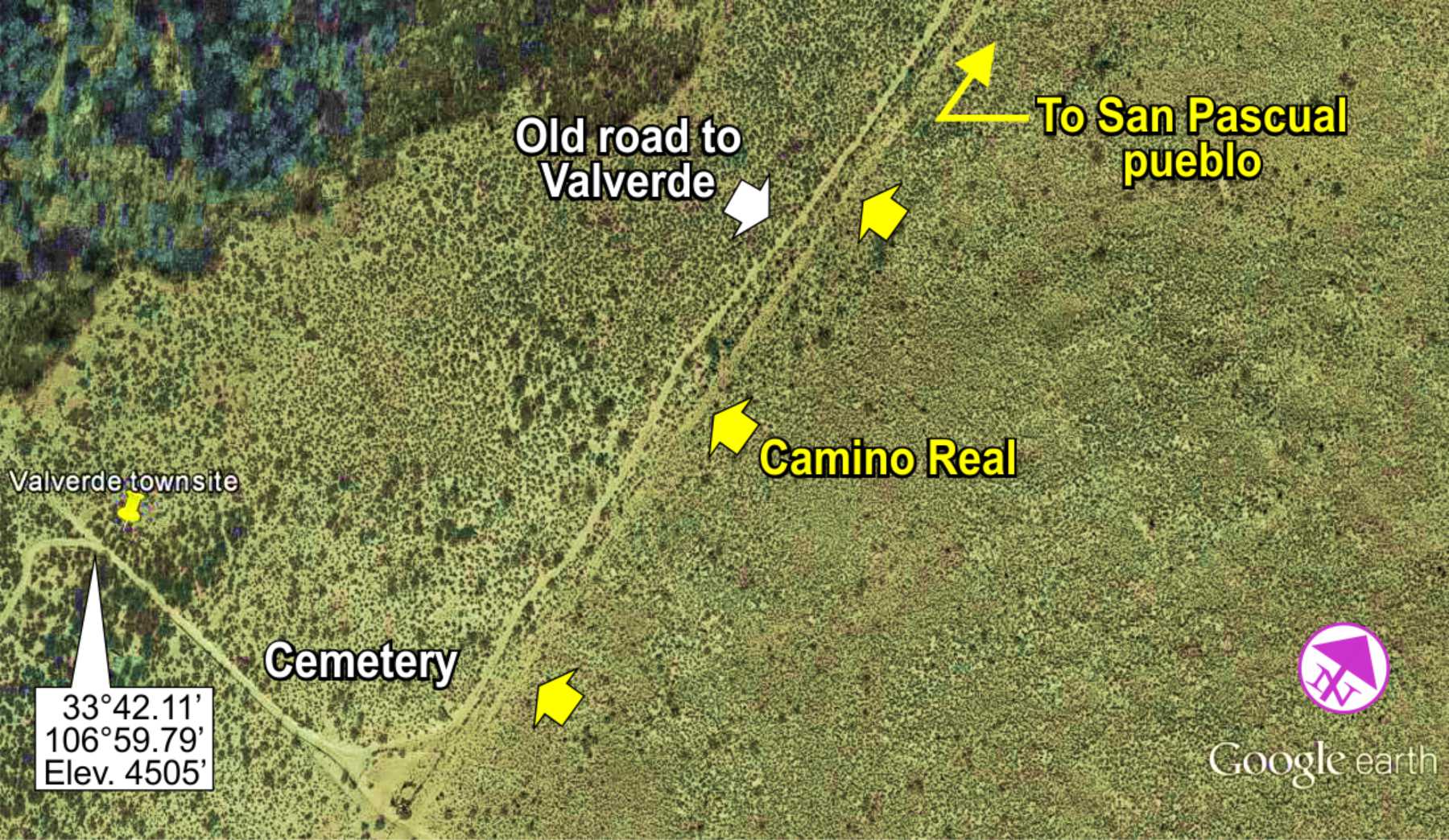
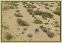
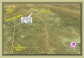
Valverde townsite
VIDEO: A short video of the bat flight from the Jornada bat caves on the Armendaris Ranch
VIDEO: A demonstration video Paul made
for CARTA with his Phantom quadcopter showing a couple stretches of the trail near
Socorro. This shows how distinctive the trail still is from 100-200 feet though scarcely noticeable from ground
level.
HISTORY ARTICLES (includes numerous photos):
Armendaris Ranch: History of the Pedro Armendaris Land Grant and ranch through
today's ownership by Ted Turner.
San Marcial Floods: The story of the 1929 and 1937 floods that destroyed San Marcial, Valverde
and other nearby villages.
Cremony's Ride: A well documented, though little known epic chase through the Jornada del Muerto along
El Camino Real.
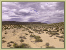
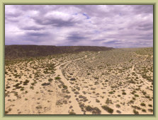
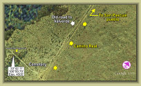
AERIAL/GOOGLE EARTH IMAGES OF A FEW TOUR STOPS
Click on image to enlarge
Valverde townsite
SCHS GUIDED HISTORY AUTO TOURS
Exploring Socorro's history with "boots on the ground"
Click photos to enlarge
Photo Gallery
Tours
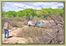
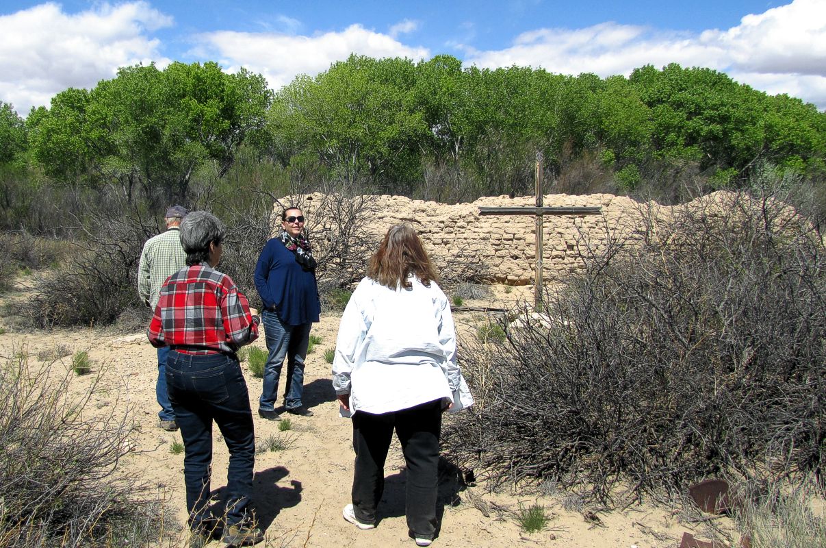
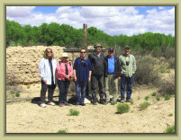
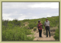
Photos: Paul H.
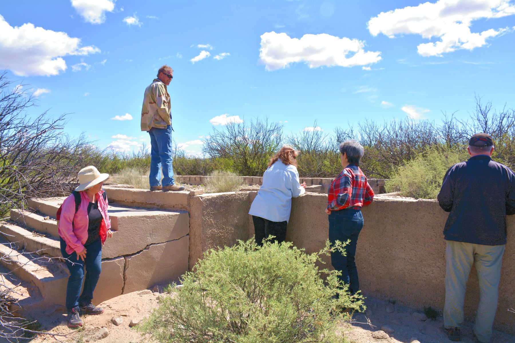
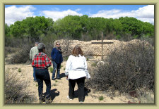
The Valverde townsite; remnants of the church (left) and the WPA built school (right). Valverde was destroyed by a
major Rio Grande flood in 1937 and covered with several feet if silt.
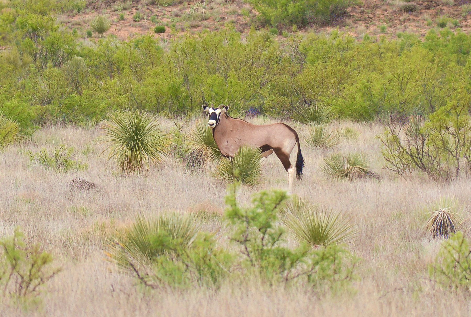
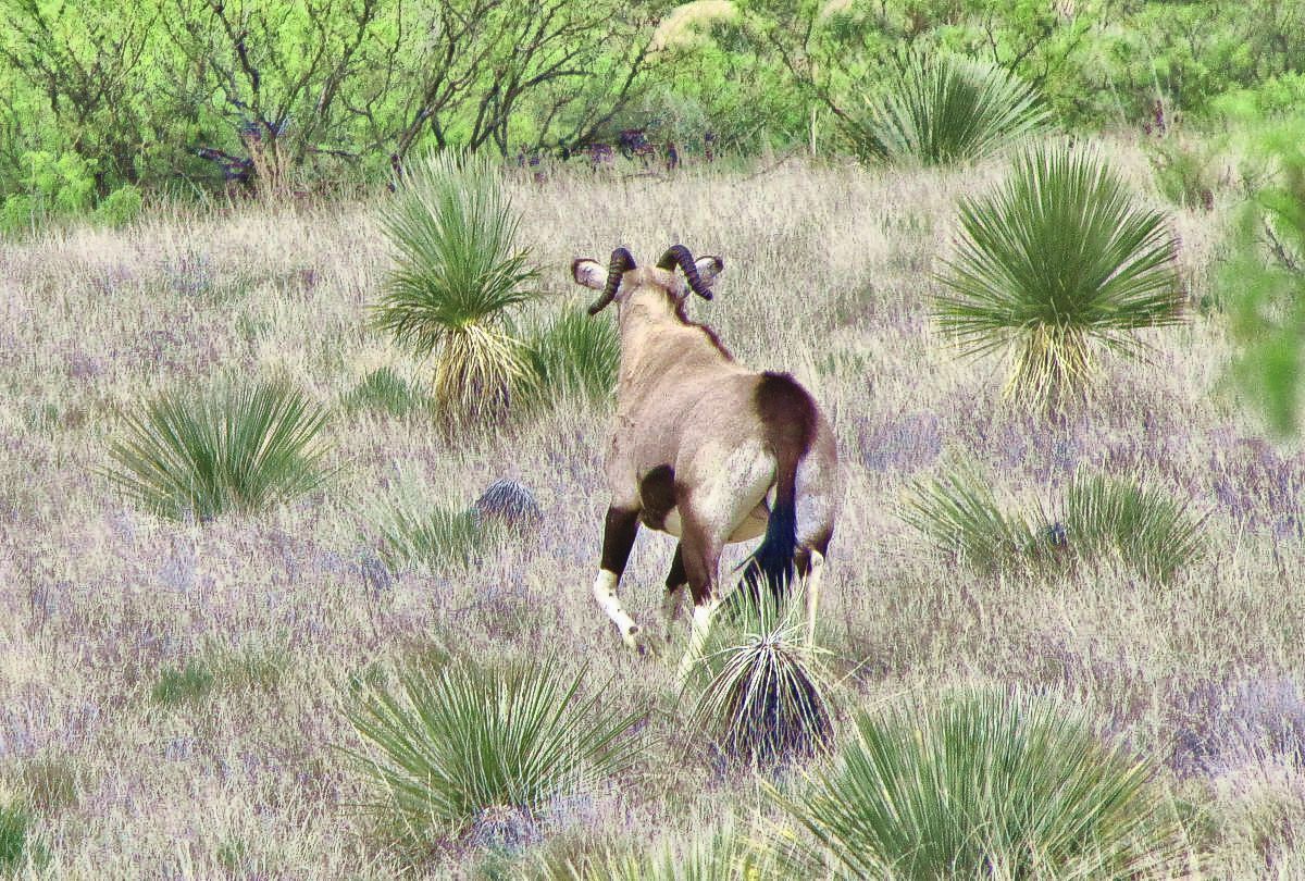
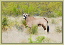
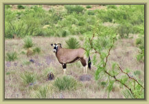
Photos: Paul H.
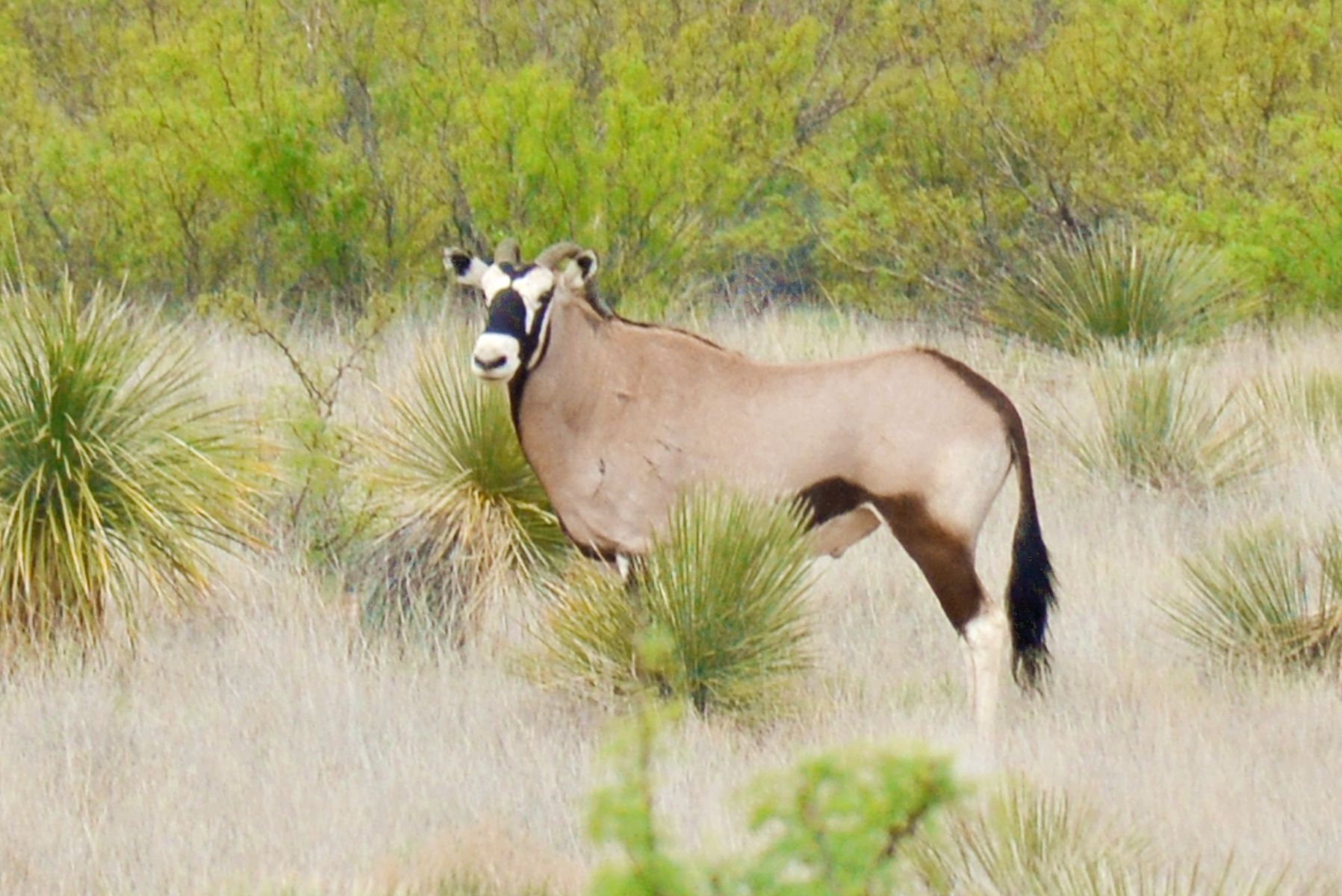
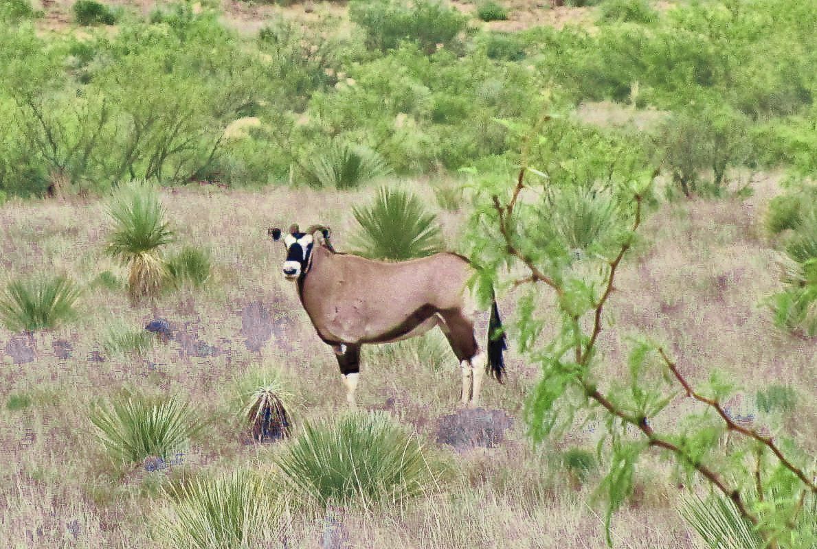
Along the road through the lava fields to Paraje Fra Cristobal, an oryx poses for the tour.
Photos: Paul H.
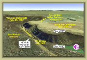
Arriving at the top
of Black Mesa
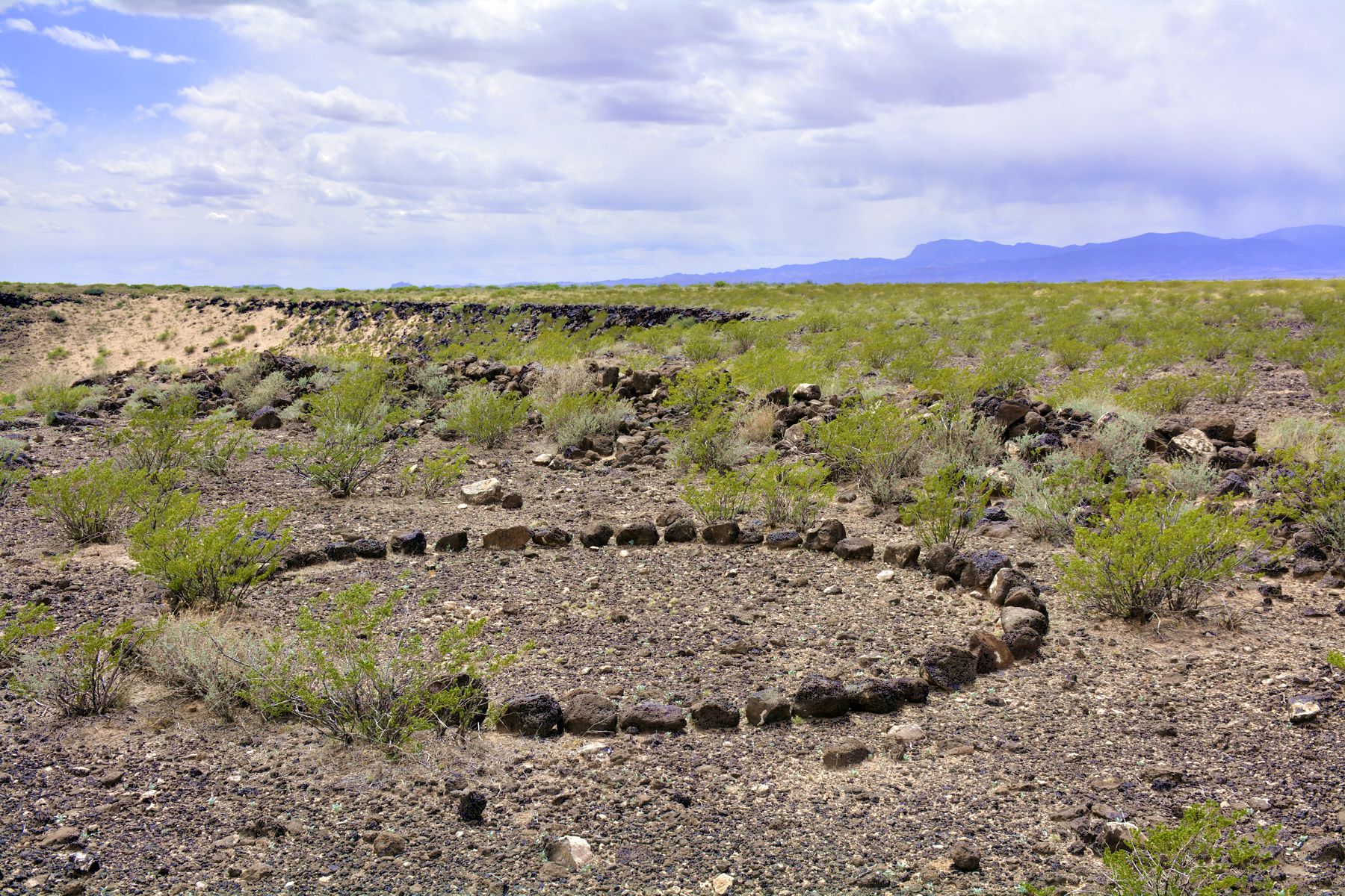
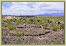
Some of the Paleoindian lava rock formations and walls
atop the mesa
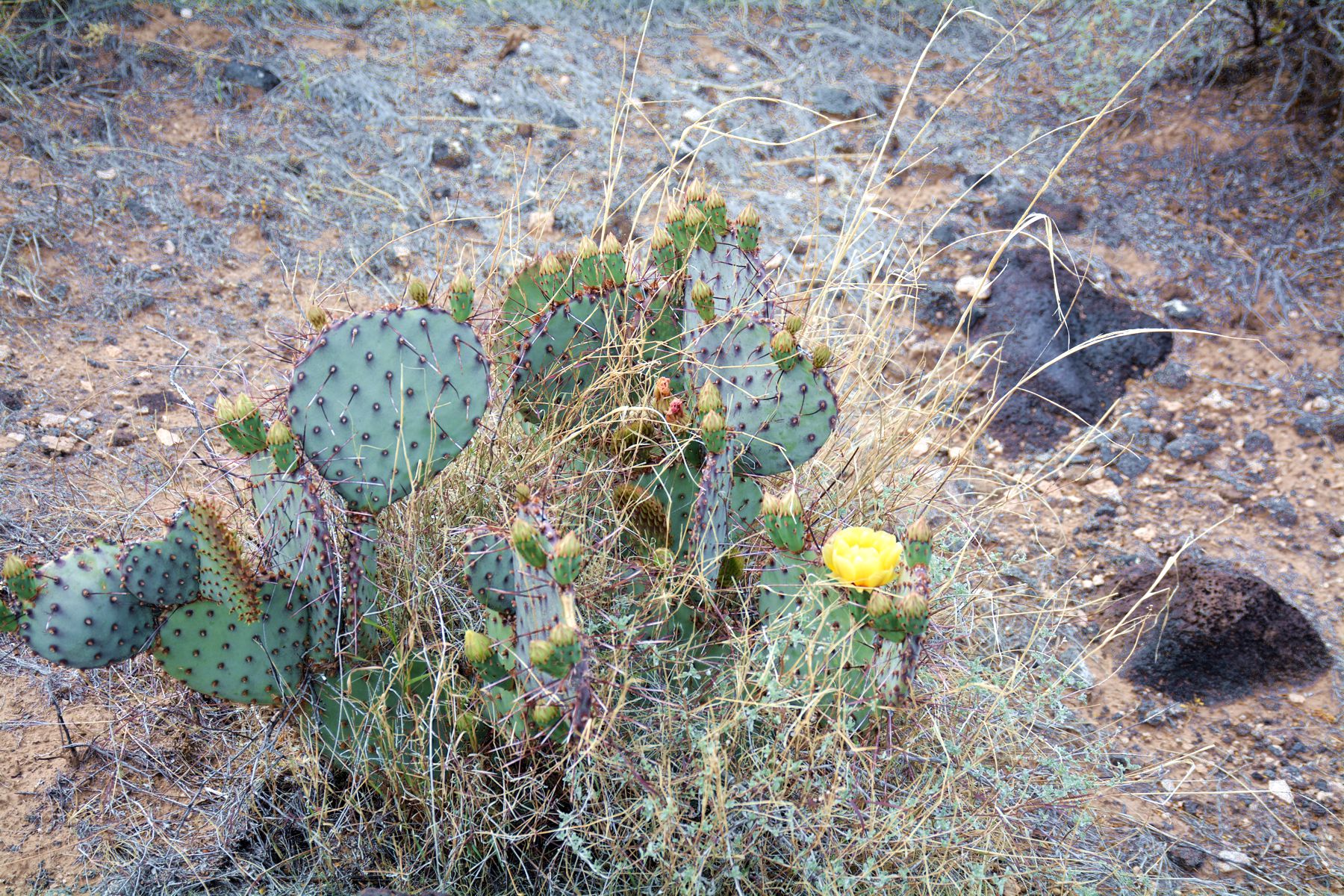
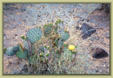
Blooming cacti presents a sign that spring is here
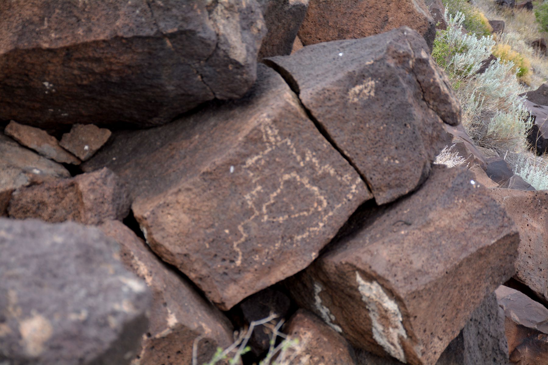
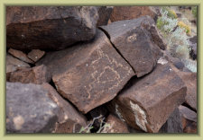
Petroglyph - believed to be depicting the once nearby Senecú pueblo and mission
Photos: Craig H.
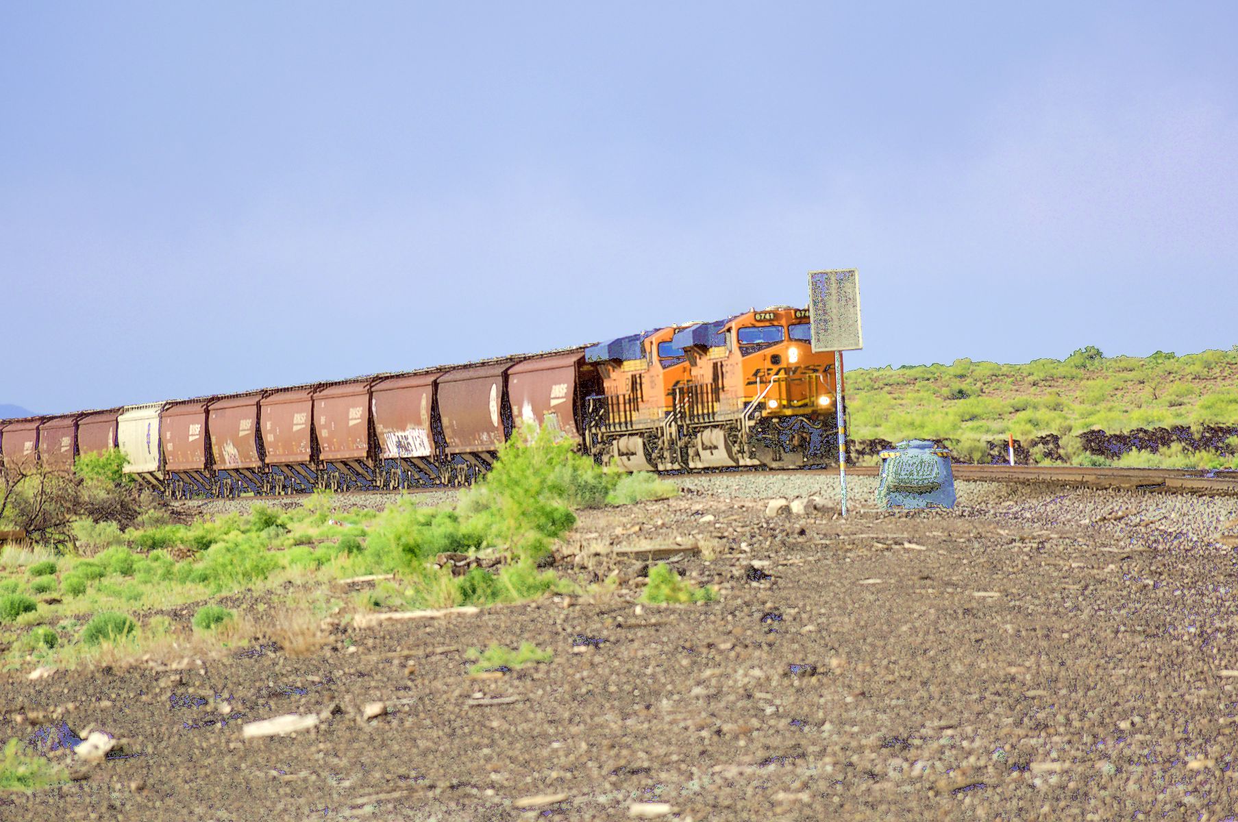
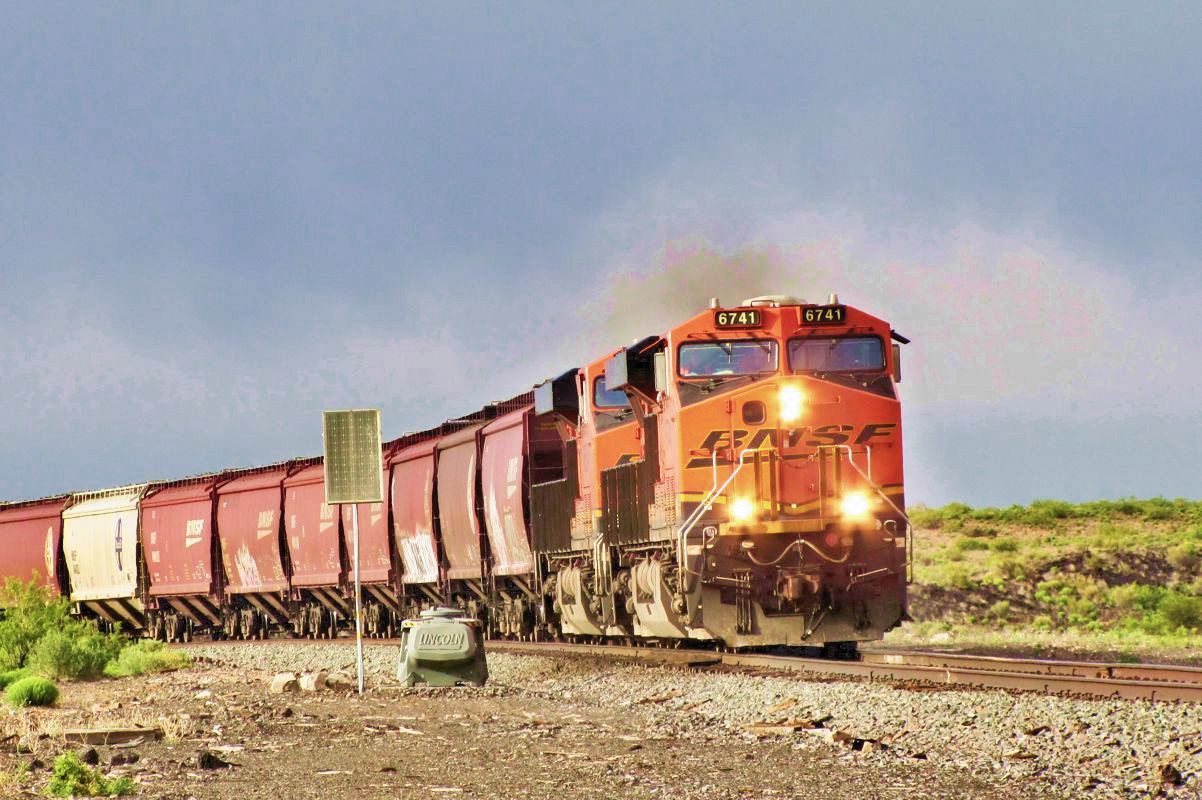
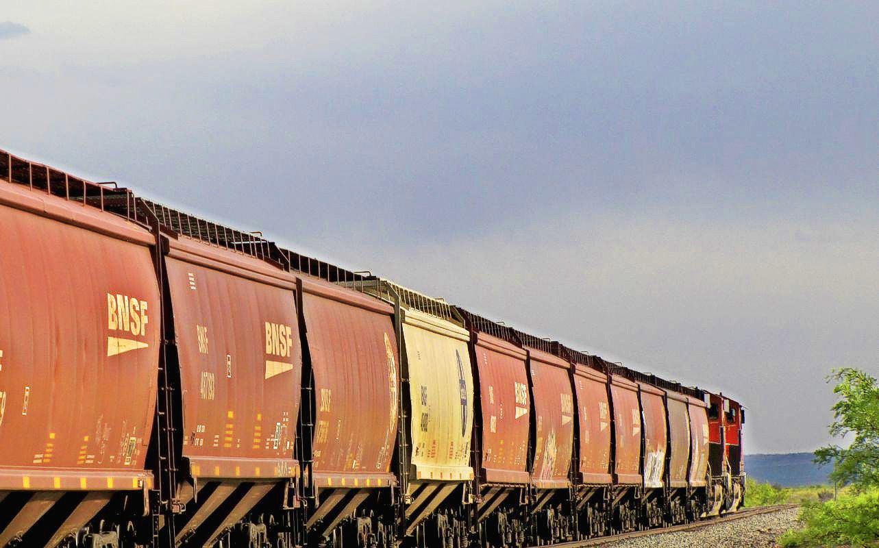
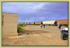
A BNSF train on the Jornada del Muerto, passing through during our stop at the Lava Siding and section house.
The engineer acknowledged our presence by a long blast of his whistle.
Probably the first people he's seen at the Lava station in his
career!
Photos: Paul H.
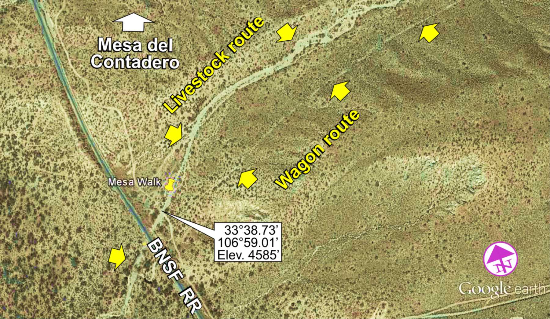
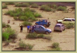
View of El Contadero portion of the trail - the counting place
The main livestock trail through Contadero with the less distinct wagon trail on right
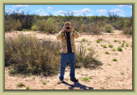
Watching the Phantom
returning for landing
The "counting place" -- where livestock were counted coming off the Jornada del Muerto.
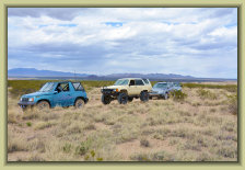
A few aerial "drone" photos, using a DJI
Phantom 3 quadcopter.
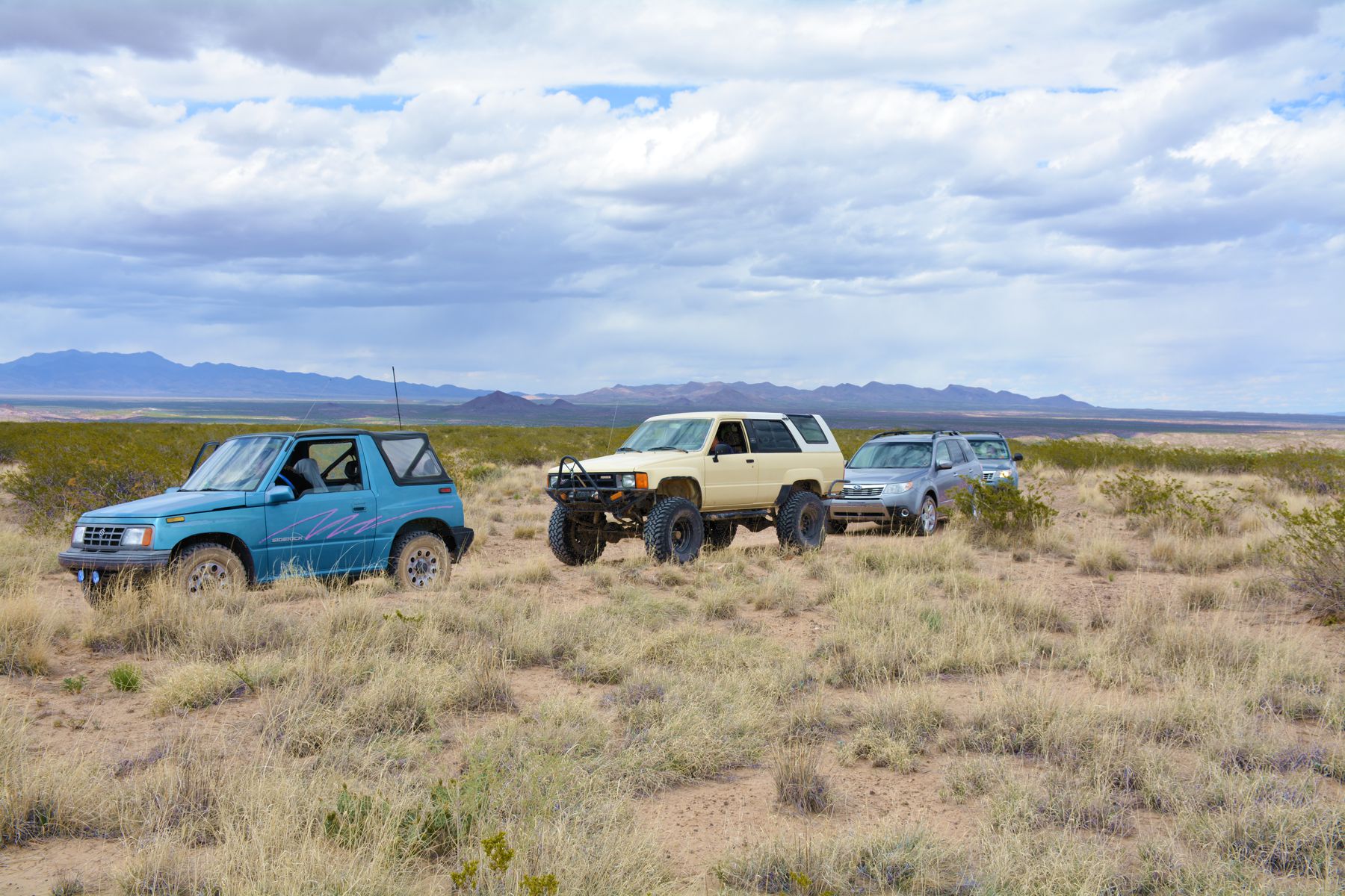
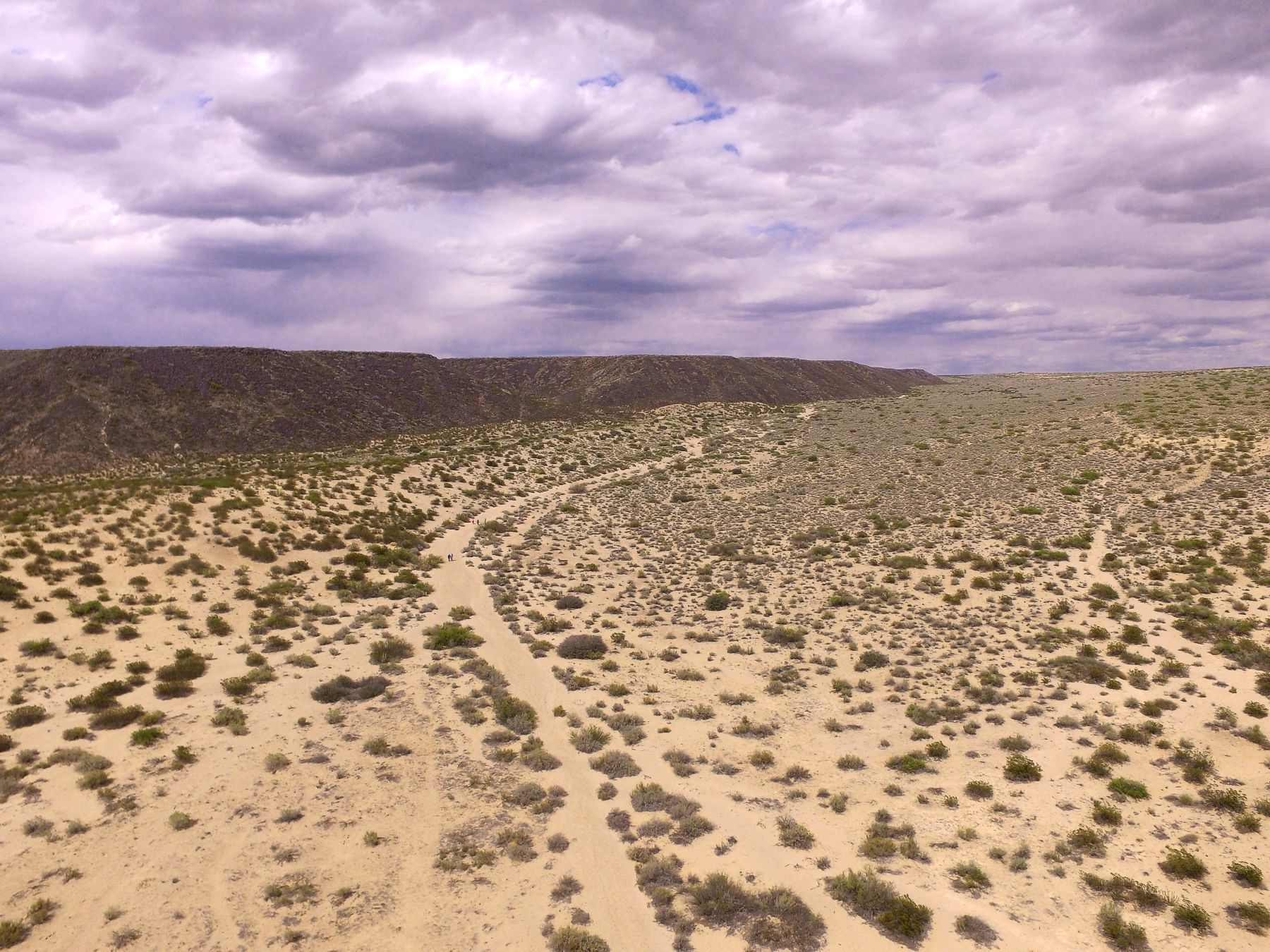
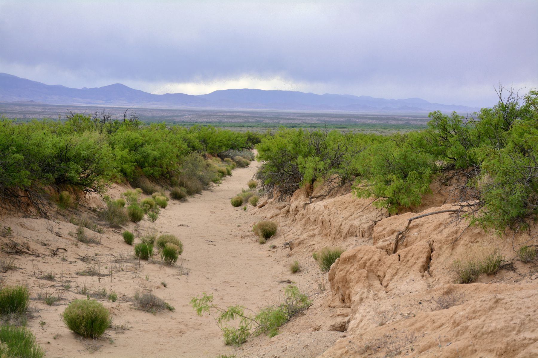
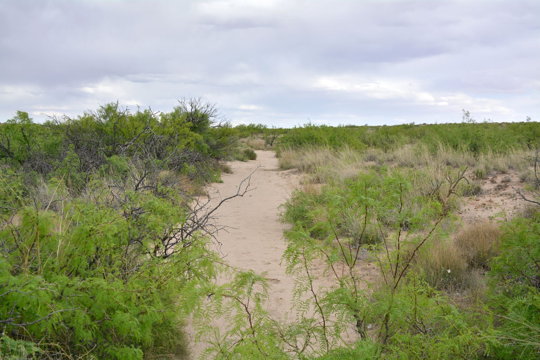
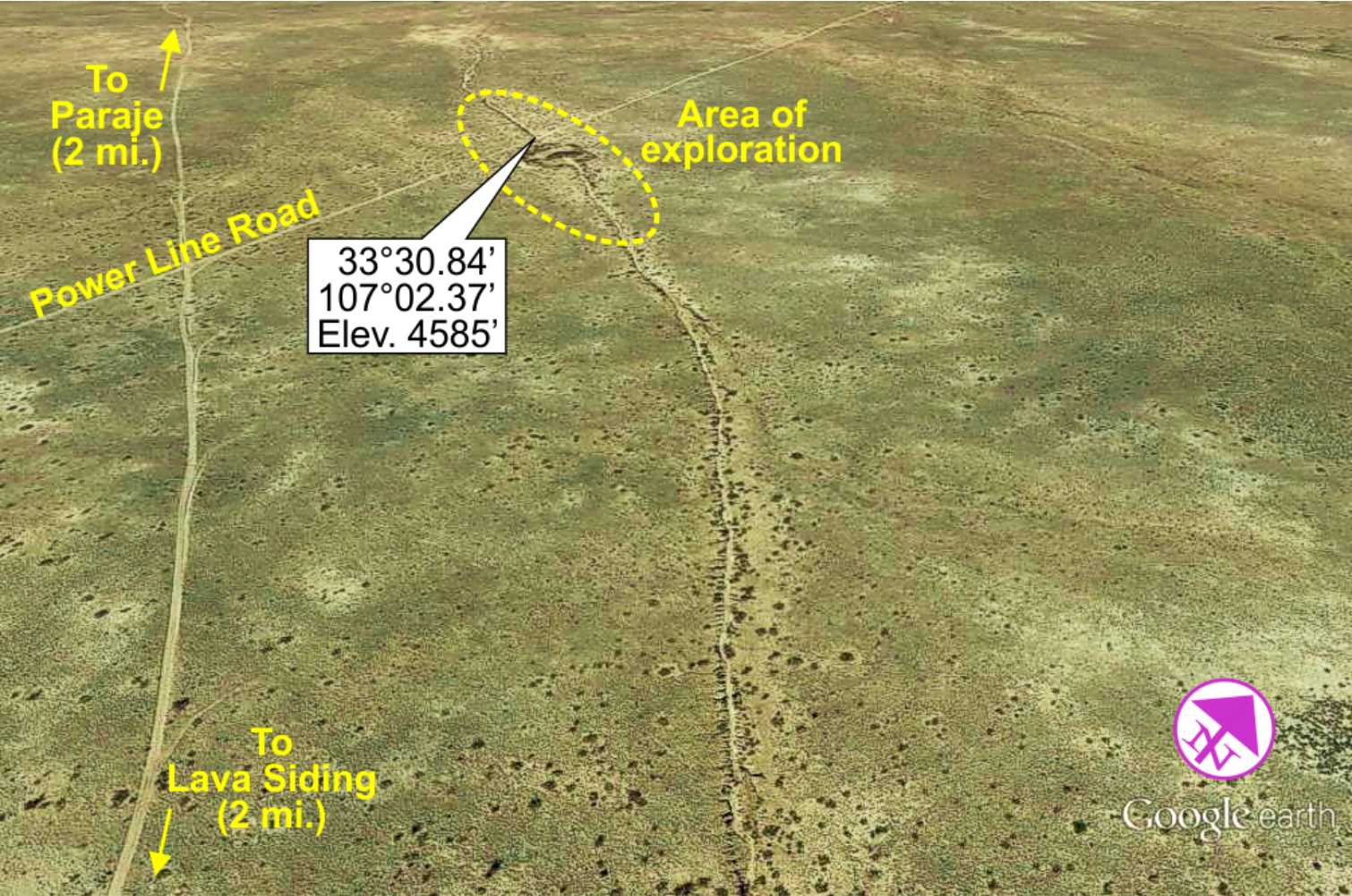
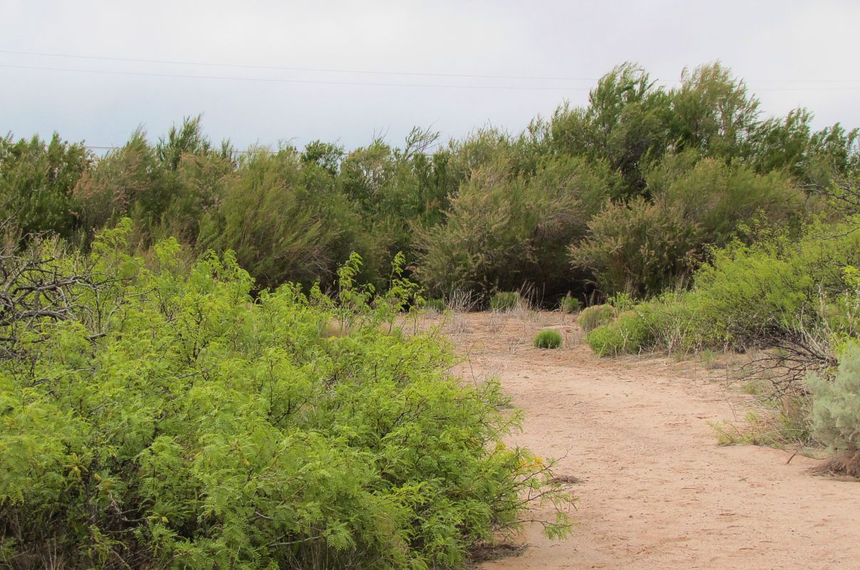
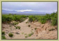
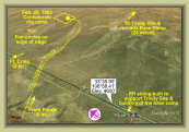
The SCHS caravan agreed to investigate a new section of El Camino Real trail in the Jornada del Muerto. This is the "Tusas route,"
the part of the trail that went to Tusas Springs for water (about 5 miles southeast of the Lava Siding stop) and from Lava Siding
runs diagonal about another 5 miles to Paraje Fra Cristobal. The trail is very distinctive, wearing a cut for several
miles through the soft sandstone and conglomerate in the area.
Photos: Paul H.
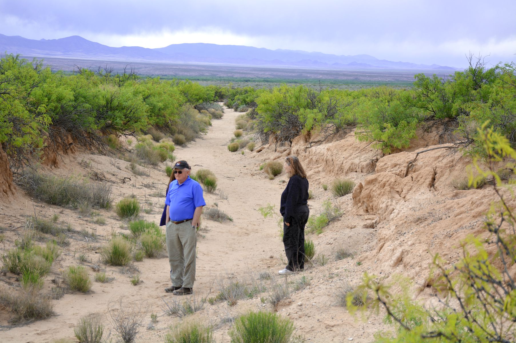
View north-westward, the trail heading directly to
Paraje Fra Cristobal
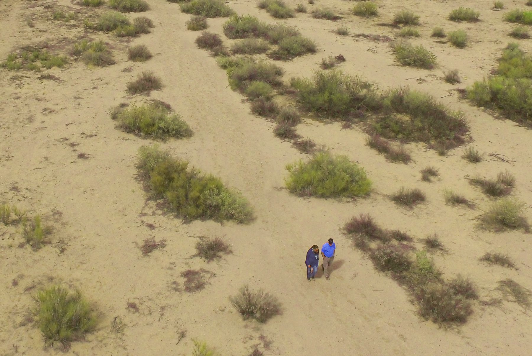
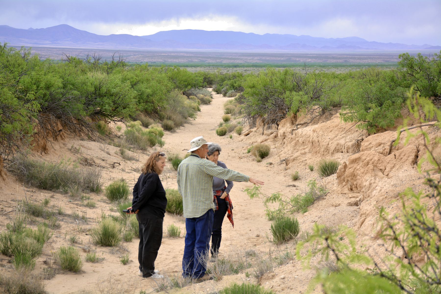
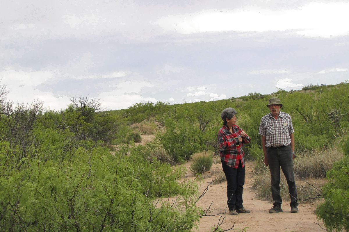
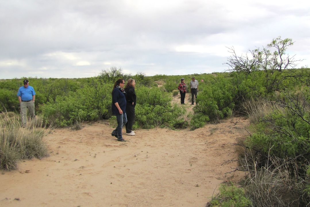
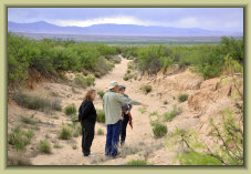
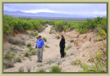
Participants exploring the stretch of El Camino Real
between Tusas Springs and Paraje
View south-eastward towards
Lava Siding & Tusas Springs
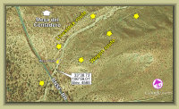
Mesa del Contadero
(Black Mesa)
Mesa trail walk
(El Contadero)
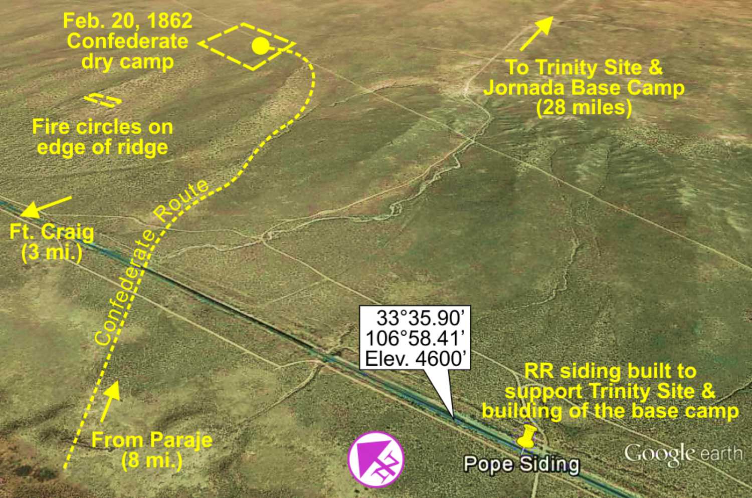
Pope Siding Confederate camp
Tusas trail area
explored
4
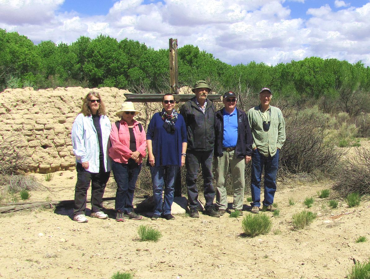
Photos: Craig H.
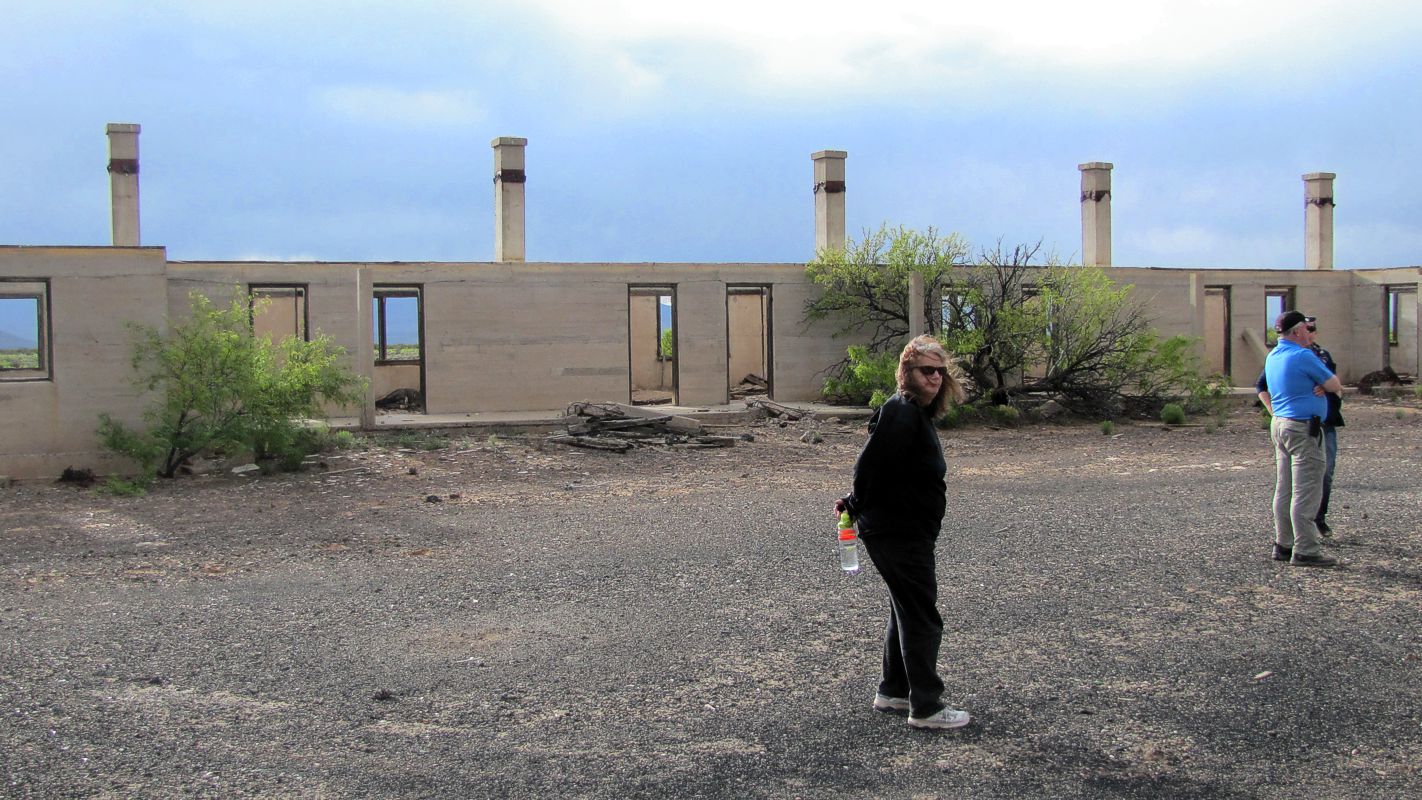
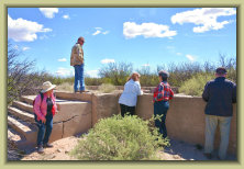
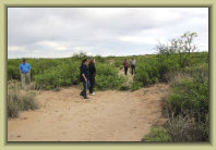
Exploring the church and a group photo
Atop Black Mesa (Mesa del Contadero)
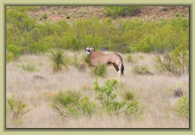
Oryx on the Armendaris
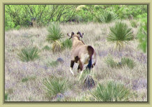
Photos: Craig H.
Craig H. got a couple of good shots also. Note the curved horns; others on the ranch are straight horned
oryx
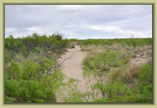
Paraje Fra Cristobal
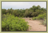
Photos: Craig H.
Paraje Fra Cristobal was a major landmark on El Camino Real -- the first water in 90+ miles through the Jornada
del Muerto. An historic site, though little left to see.
The trail around Mesa del Contadero
Exploring El Camino Real
Lava Siding
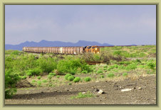
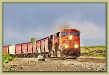

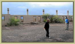
Photo: Craig H.
The old Santa Fe RR (now BNSF)
"section house" at Lava Siding.
Literally a train station in the
"middle of nowhere"
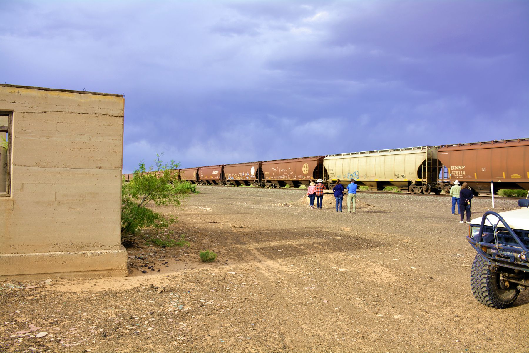
Photos: Paul H.
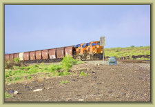
A "unit train" with two engines and 108 cars rumbles through Lava Gate while we were there.
Photos: Paul H.
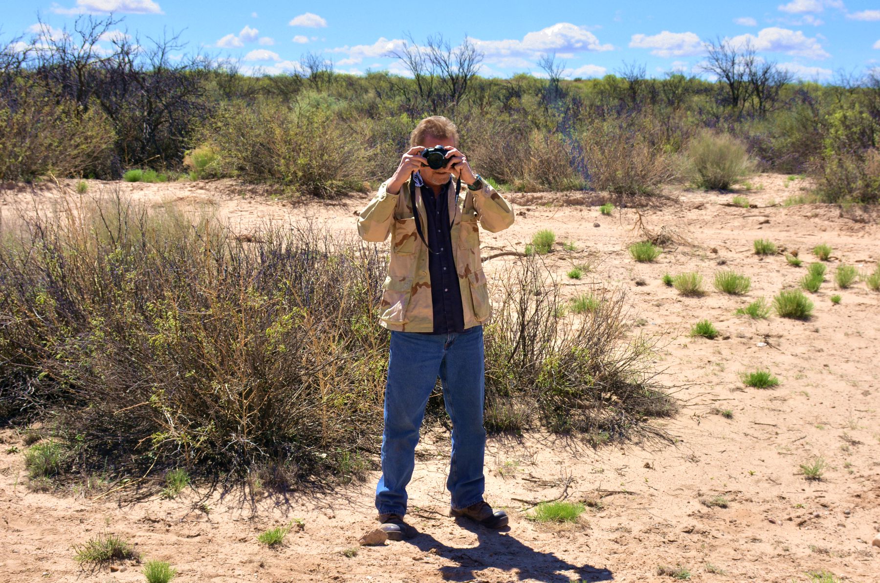
Craig H. taking pictures