On this page:
Photo Gallery
Golden Bell Mine and Mill Ruins
Links:
Socorro County Historical Society
Socorro, New Mexico, USA
History
Articles
Rosedale and the Rosedale Mines
Mines3
8
Photo Gallery
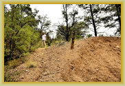
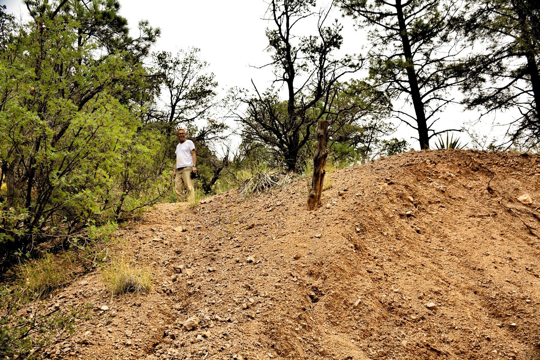
Climbing up the waste rock pile to the adit
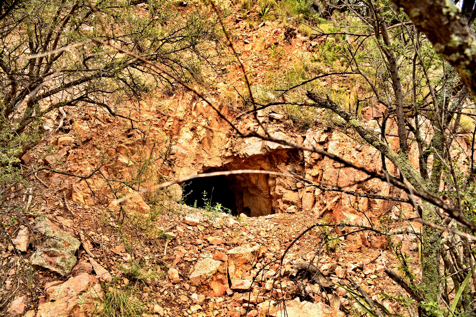
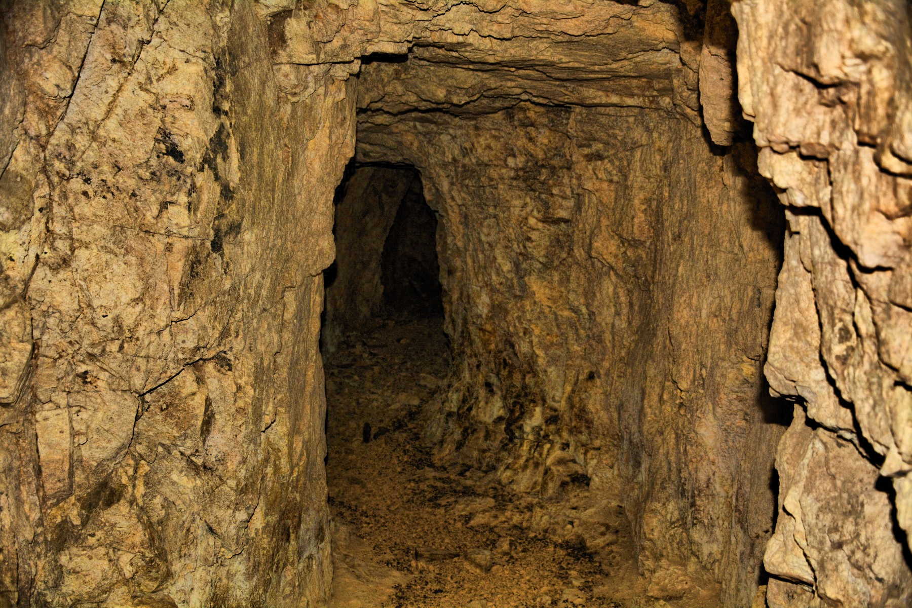
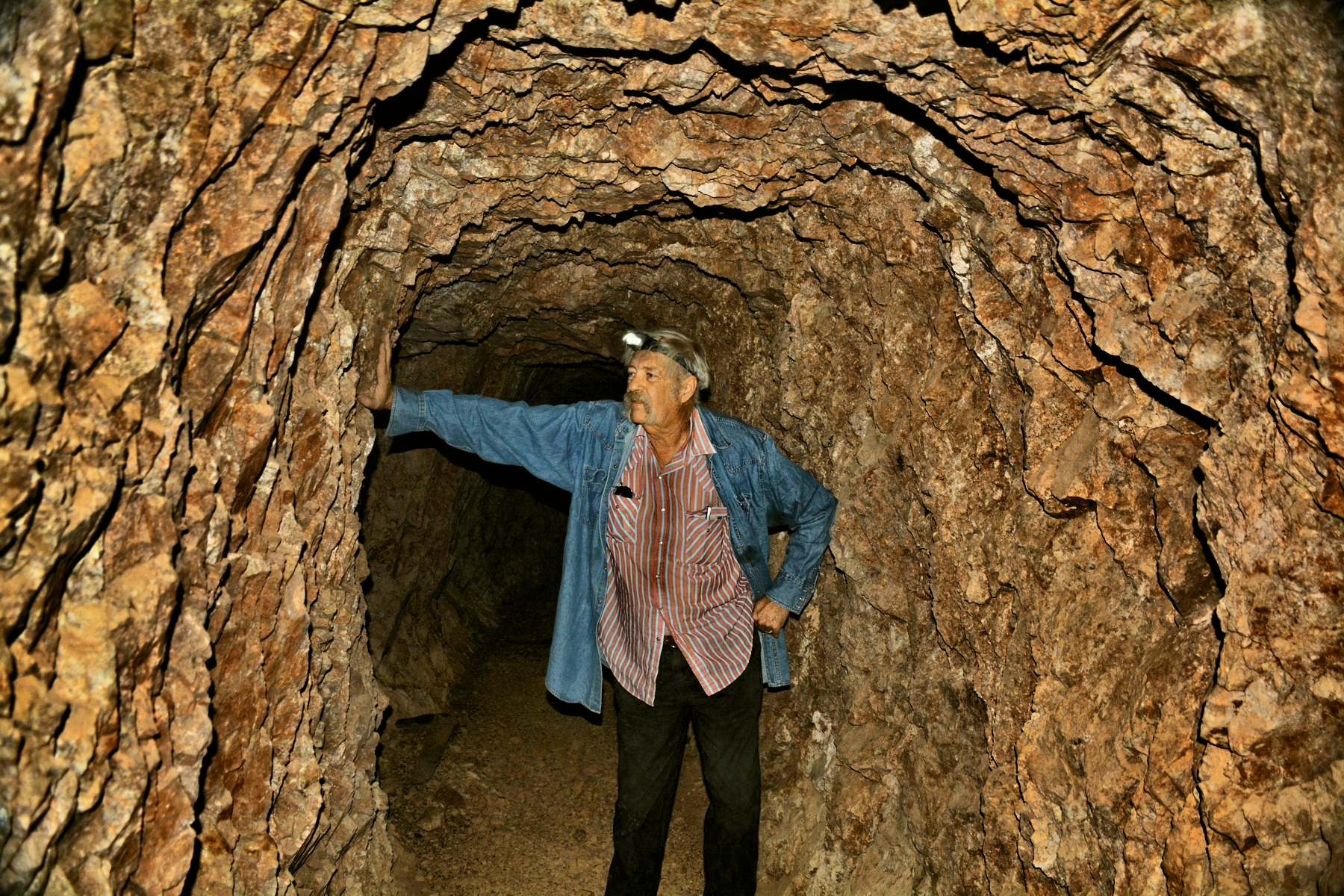
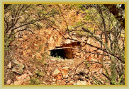
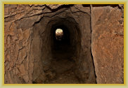
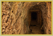
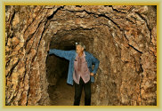
Bell Mine adit portal. The mine has several shafts & adits
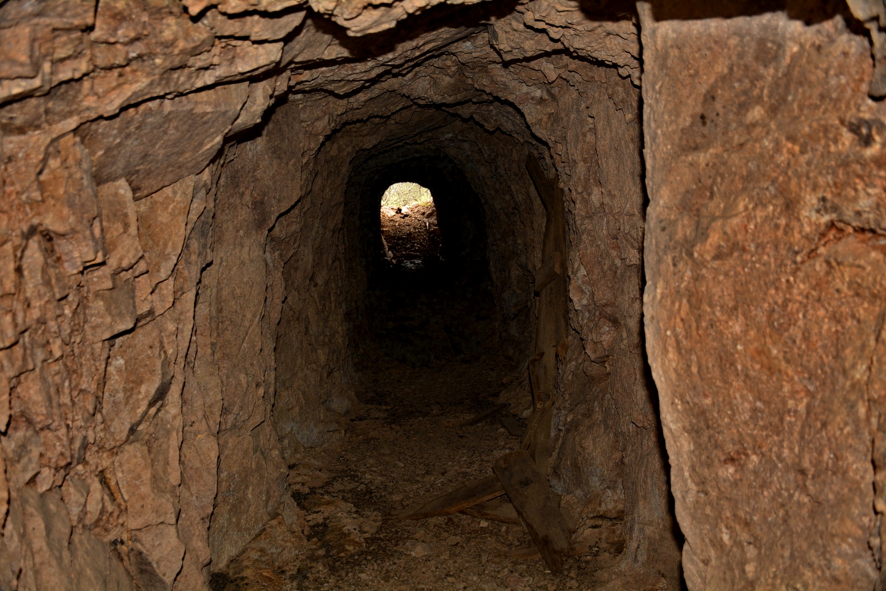
Inside the mine looking
out at the portal
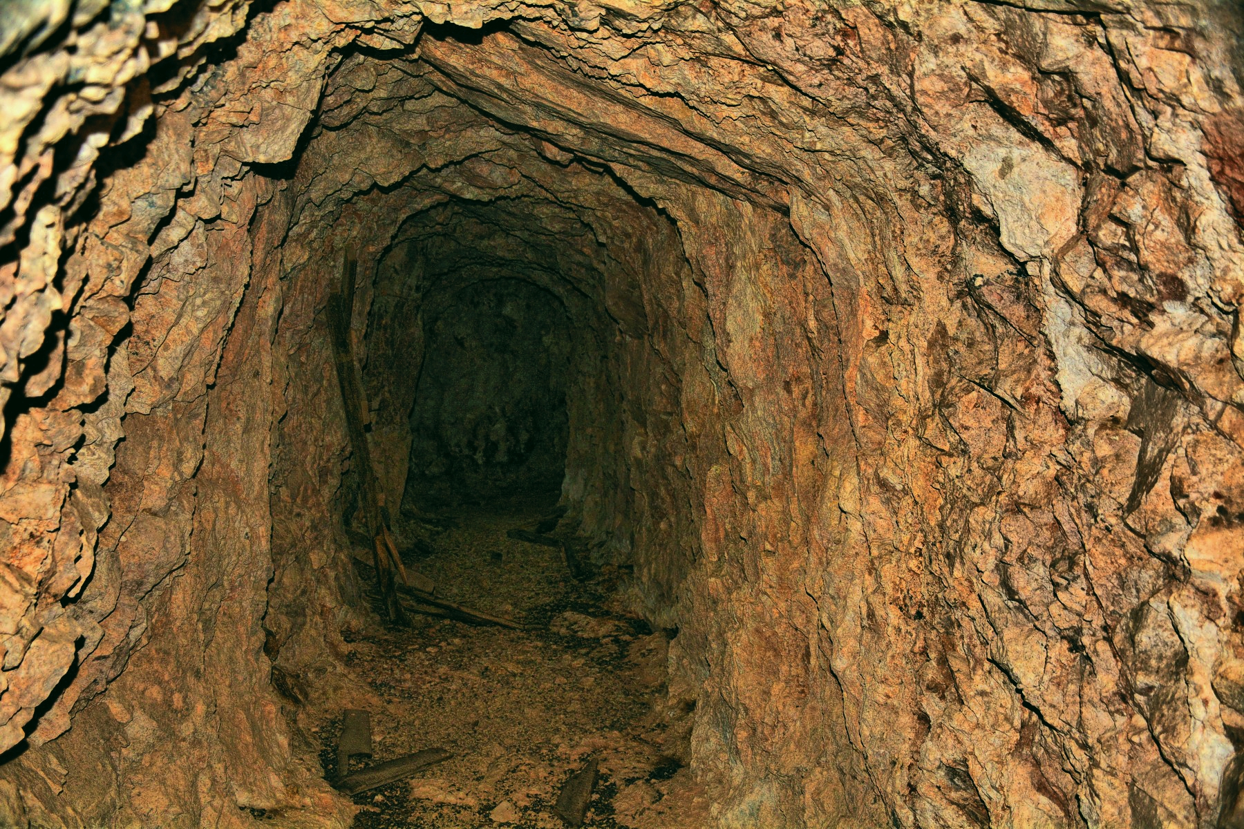
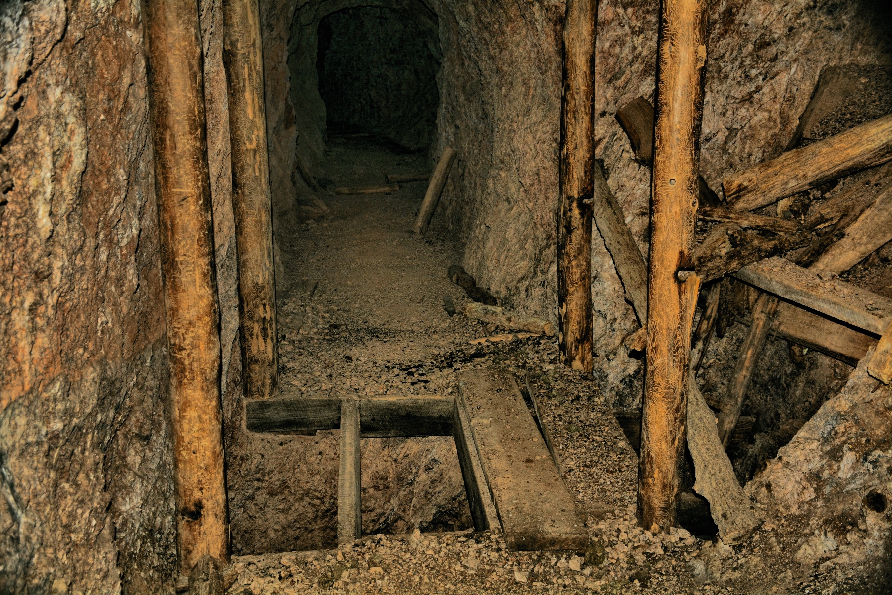
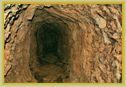
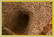
Junction for the north (right) and south (left) drifts ahead
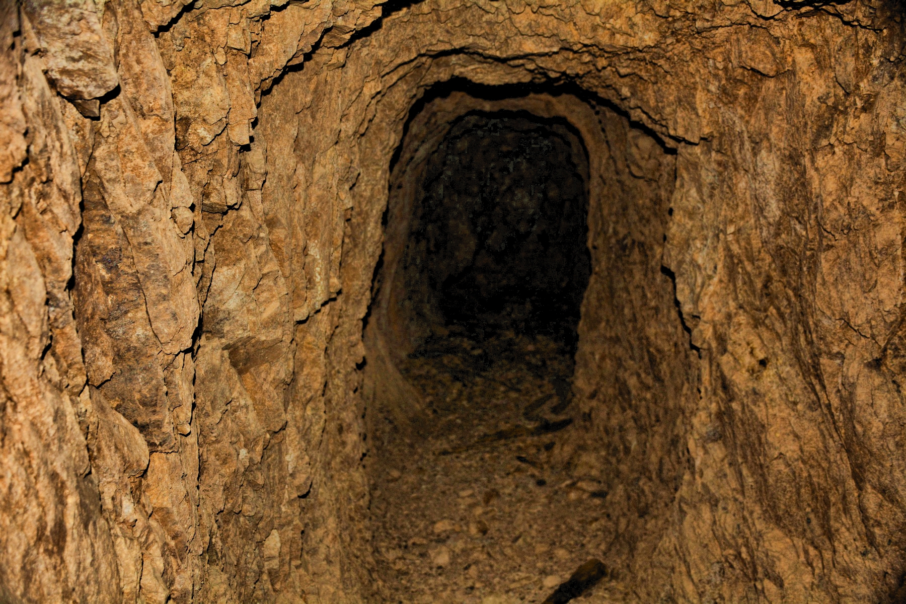
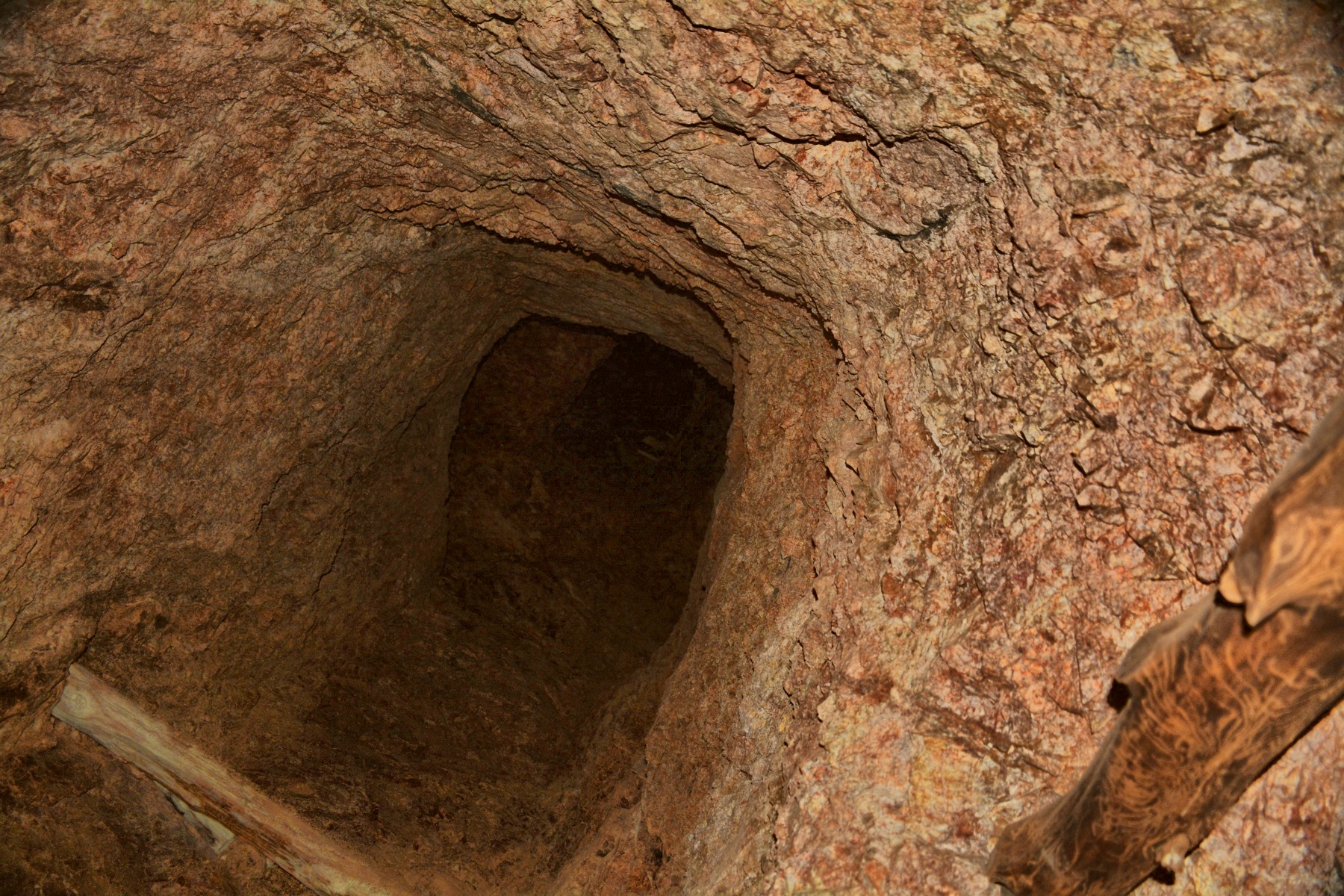
The north drift winds
to a short end 50 ft. ahead

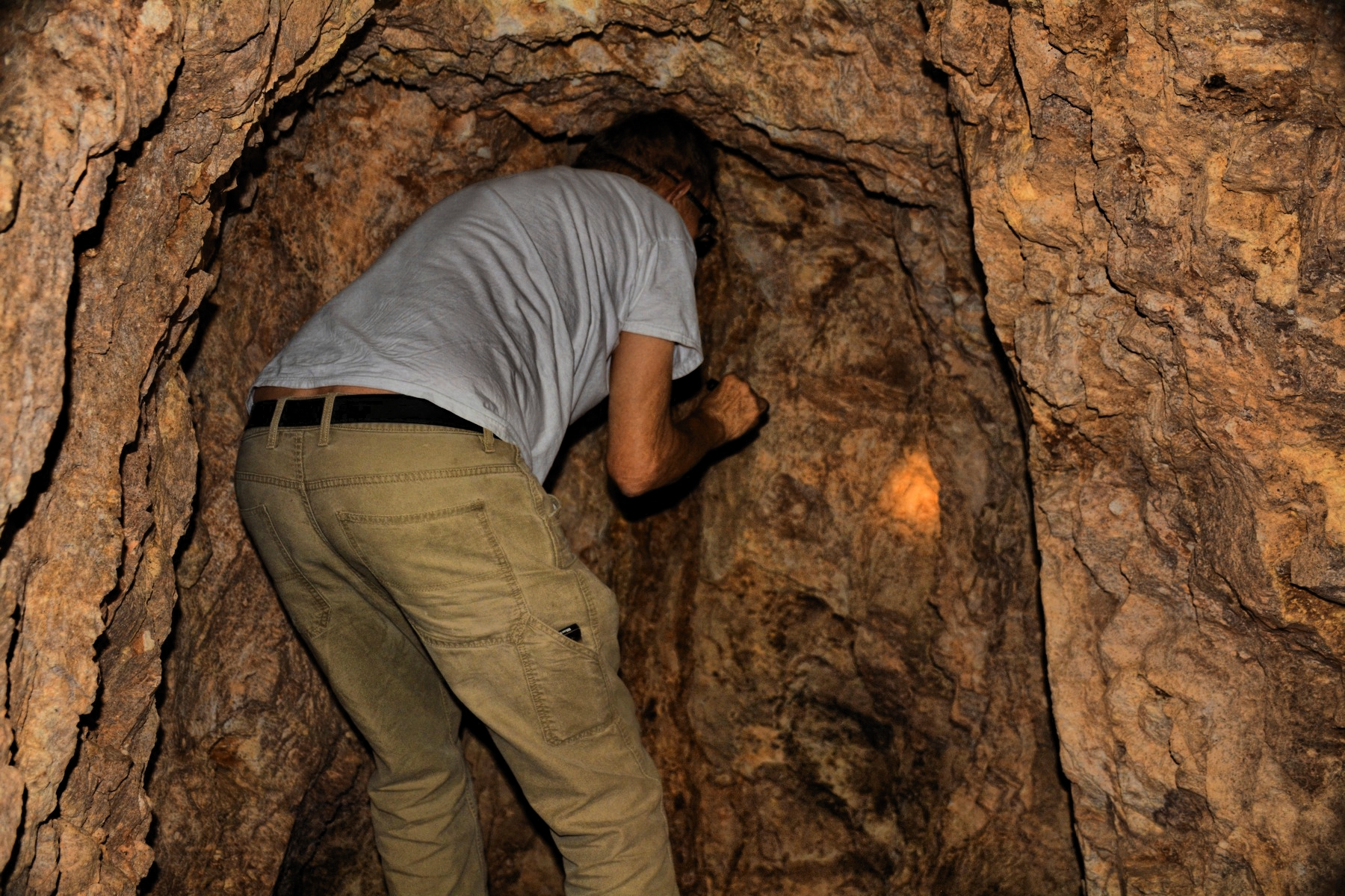
The worked vein at the end of the north drift, about
100 ft. from the portal.
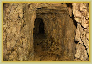
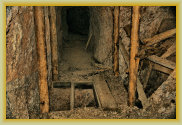
Entering the south drift
at the adit junction
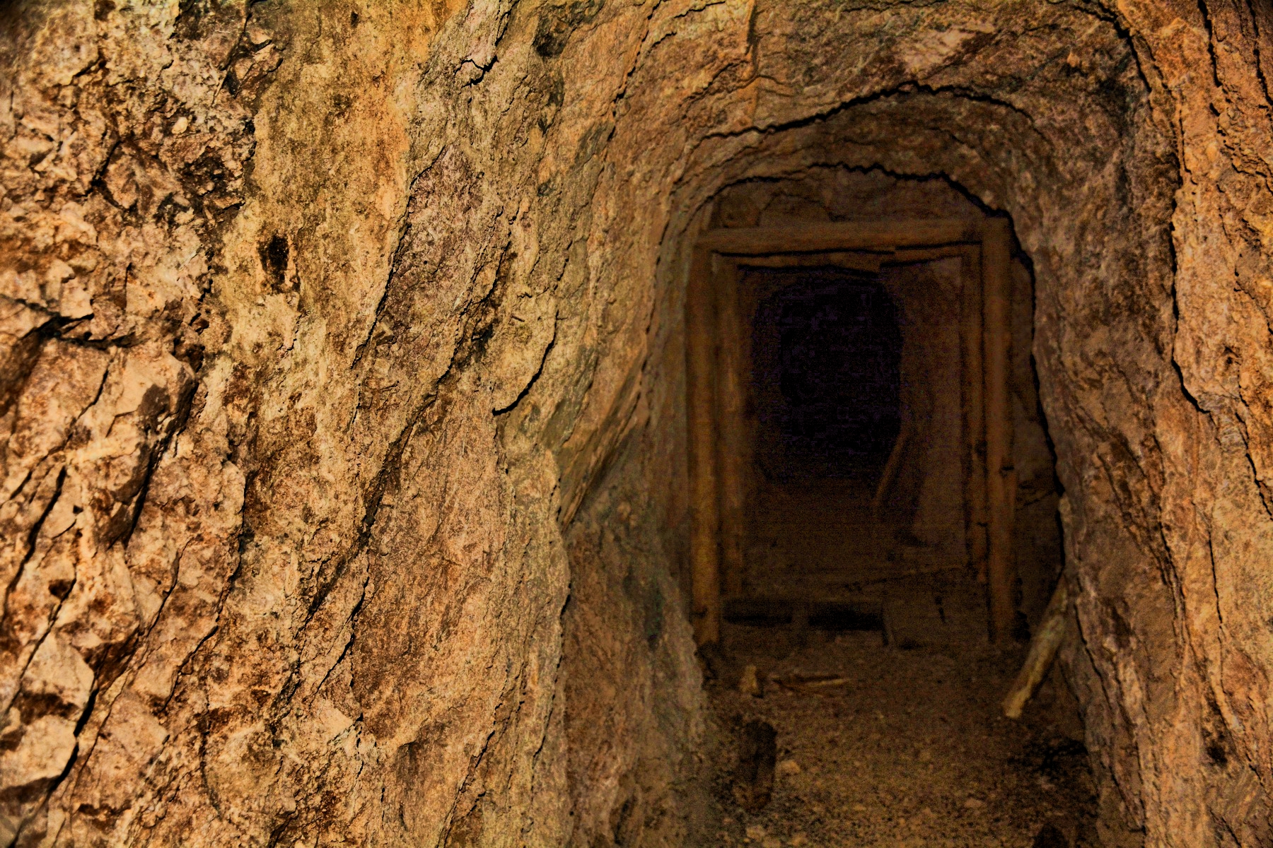
South drift - approaching
the shaft
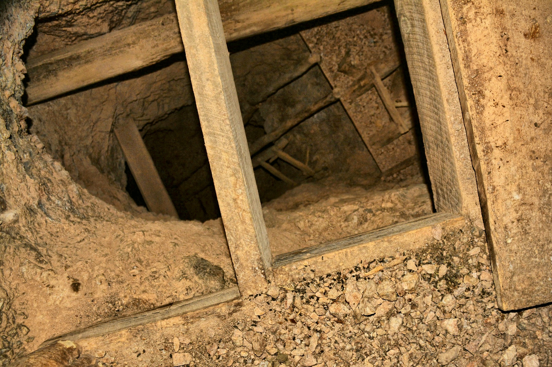
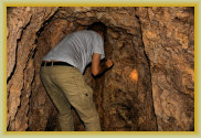
Shoring, timbers and false floor for the shaft
- about 200 ft. deep
Showing relative size
of the south drift
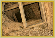
Looking down the shaft
Looking up the shaft raise
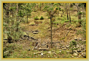
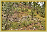
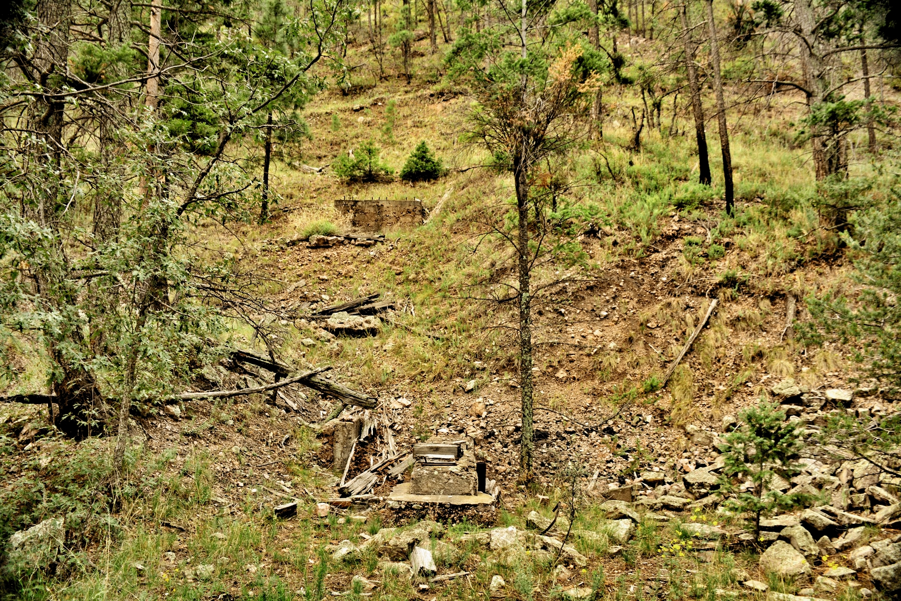
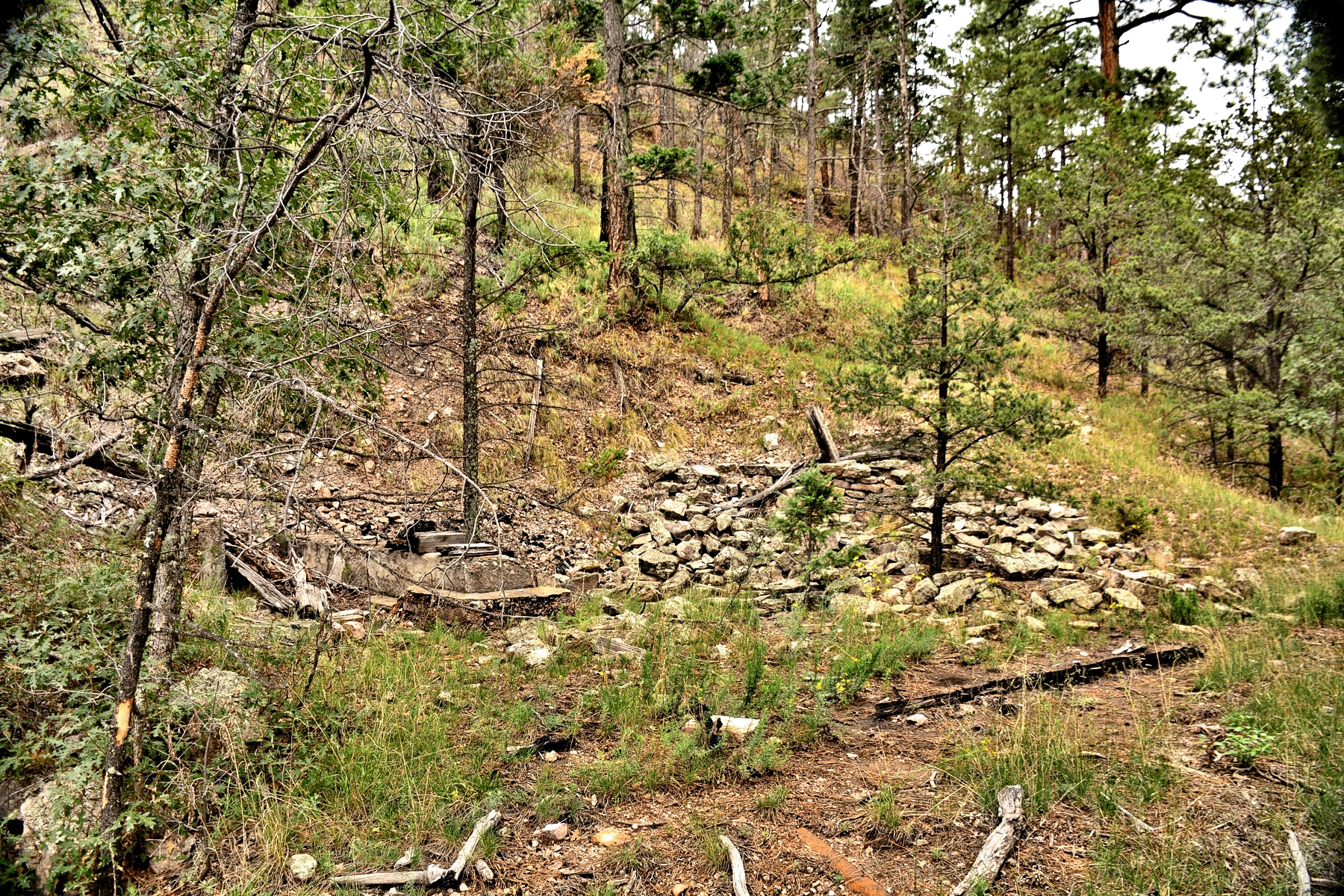
Mill site ruins
Mill site ruins
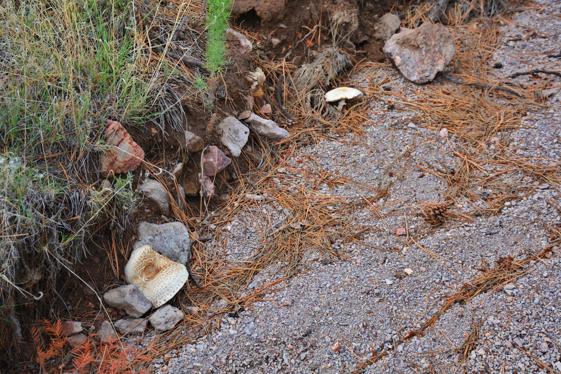
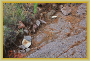
Huge mushrooms near
the mill site
End of the road. Road dropping into the canyon is hazardous due to loose rocks, mud flows, uneven 2-track surfaces and a sharp drop
off. No place to turn around. Walk it first to inspect.
WARNING: Extremely hazardous. Do not attempt to cross shaft. Bad air has also been reported farther into the mine.
End of the road
Forest fires in 2011 and the North Fire 2016 has caused roads in the Rosedale area to be highly eroded from floods,mud
flows, and debris on the roads in the burn scar area. (FR-330 OK).
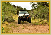
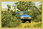
Road to the mine is now impassible and hazardous for
4WD
or ATV vehicles, requiring
a half-mile walk-in to the mine.
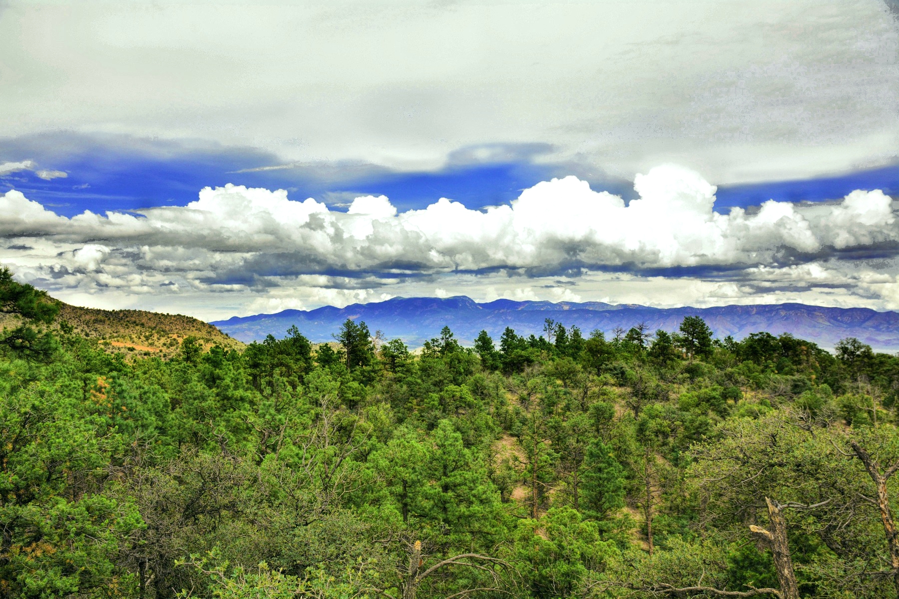
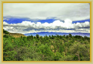
View of the Magdalena mountains, looking NE, from the Golden Bell mine
Special Note: SCHS members were escorted to this mine for photography of inside a "typical mine" for historical archive purposes.
This is a dry, hard rock mine adit considered "moderately stable" near the portal with hazards further inside the mine.
This is
not an endorsement to enter this or any mine. Most mines in the Rosedale and Kelly mining districts are extremely hazardous
due to being abandoned for 100 years or more, collapse, cave-ins, water, unseen shafts, rotting wood shoring or flooring, extremely
dark without proper lighting, animals and snakes, and bad (deadly) air.
Mines are a part of our history. Be safe around
mines; don't enter any shaft or tunnel. Enjoy the SCHS photographs instead.
Click photos to enlarge (With lanterns and head lamps, the mine is still far darker than photos portray!)
19/0615