On this page:
Photos and Videos
The Rosedale Mine and Mill
Have photos? Rosedale photos are scarce! If you have photos of the Rosedale mining district, the town, or of
family that worked the mines or lived in the area you'd like to share, please let us know here and we'll add them to
these pages with proper credit.
Links:
Socorro County Historical Society
Socorro, New Mexico, USA
History
Articles
Rosedale and the Rosedale Mines
Mines3
7

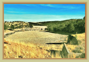
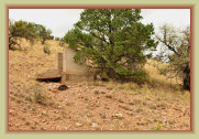
The flume was removed in early 2000s as part of a government "Desert Restoration" and "Abandoned Mine Lands" project at the Rosedale mine. History lost.
Photo Credit: Use of photos allowed provided credit is given to "Socorro County Historical Society" or "N.M. Bureau of Geology
and Mineral Resources" where appropriaate. All SCHS photos by Paul Harden except where noted.
Click on photos
to enlarge to 300 dpi.
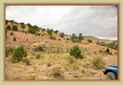
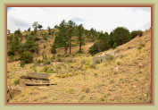
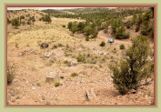
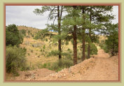
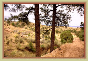
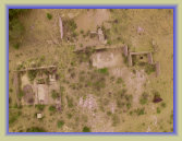
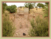
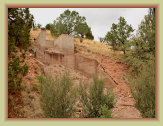
View of the Rosedale mill ruins
Photo: SCHS/Paul Harden View from the mine shaft
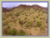
View looking east from the old mine road
The power plant was a wood-fired boiler and steam plant driving the mill machinery with a network of drive belts. A fire destroyed the Rosedale mill in 1910. The new mill electrified the mine. The boiler was replaced by two 450-volt electric generators powered by gasoline engines. All mill machinery was converted to electric motor drives. Electric lighting was added to the mine shaft and working areas. Electricity also powered the compressors for the air drills, and newly added ventilation to the mine.
The Rosedale mill, like most mining mills, were built on the side of a mountain or steep slope to allow the ore and water to flow through the mill and machinery by gravity – known as a "gravity fed" mill.
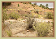
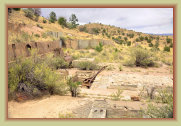
Rosedale mill Power Plant. The diesel engines and electric generators
were mounted on the concrete pedestals and threaded screws.
The ore shoot at the top of the mine fed the gold ore to the rock crushers and stamp mill by gravity. The crushed rock ore was pounded
into a sand-like slurry by the stamp mill. The Rosedale mill was a 10-battery mill, consisting of 10-stamps, upgraded to a 20-stamp
mill in 1913. Each stamp weighed 850 pounds and was lifted by a cam, then allowed to drop to crush the ore into a powder. The sound
of the ore moving through the mill and the constant thumping of the stamps was a deafening sound. Still, a working stamp mill was
quite an operation. Operation of the
stamp mill here.
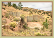
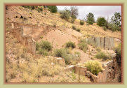
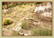
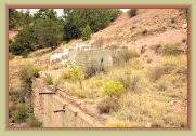
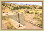
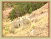
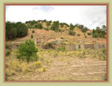
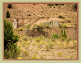
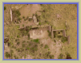
The Rosedale mill burned in 1910 and rebuilt, the reason for the mixture of different cements, brick work, and older foundation ruins.
The Cyanide Plant and settling ponds
The cyanide leaching plant was added to the Rosedale operation in 1899. A cyanide solution is used to separate gold and silver from low grade ore and considered a safer and cheaper alternative to using mercury. While the stamp mill recovered the majority of the gold from the ore, the cyanide plant processed the rest and recovered the small traces of gold left in the tailings for increased revenues.
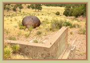
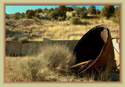
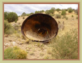
Ruins of the Cyanide Plant and the rusting cyanide
callow settling and pulp thickening tank
Photo: Western Mining History
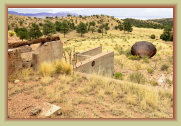
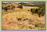
Former flume that carried the cyanide slurry to the settling
ponds (1980 photo)
Photo: SCHS/Paul Harden
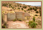
View of flume site and settling ponds in 2010 - after cleanup and restoration.
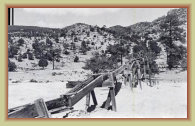
Settling Ponds. Exhausted cyanide solution was discarded by being sent to settling ponds, allowing the sun to evaporate the water
leaving trace amounts of cyanide and other minerals in solid form -- often just left or scraped into piles. Concentrations
of the discarded cyanide, such as these settling ponds, can be a health and environmental hazard, though the common practice
at the time.
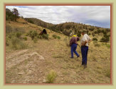
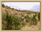
Photo: SCHS/Peggy Hardman
Yvonne and Paul
investigating the ruins
Photo: SCHS/Peggy Hardman
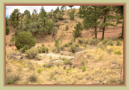
Mill ruins looking north
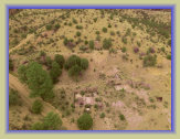
Rosedale mill site
Rosedale mill site & mine
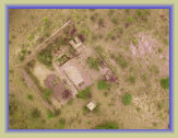
Drone aerial photo: Paul Harden
Power plant
Drone aerial photo: Paul Harden
Stamp mill ruins
Ruins of the stamp mill. The concrete pedestals and threaded rods is where the mill machinery was once mounted.
Mill machinery was salvaged after the 1916 mill fire.
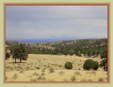
Drone aerial photo: Paul Harden
Cyanide plant and settling pond area in 2018
Photo: SCHS/Peggy Hardman
Settling pond area 2018 showing return of vegegation
Photo: SCHS/Peggy Hardman
Cyanide tank
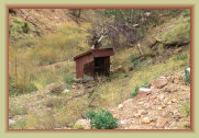
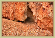
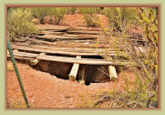
Two adits were dug into the mountain to access the vein of gold ore, which revealed the vein was nearly vertical. A shaft was dug
with drifts every 50 feet to mine the vertical vein of rich gold ore. The shaft reached 736 feet deep when it hit water and access
to the vein could go no deeper. The shaft once had a head frame and a nearby winch house, destroyed in the 1916 fire. Ore was dumped
into ore cars at the shaft and headframe then moved along rails the short distance to the ore shoot at the top of the mill. The mine
is not sealed and extreme caution should be followed if visiting the shaft or adits.
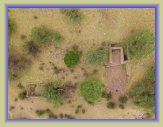
Drone aerial photo: Paul Harden
Rosedale mine area
looking west
Ruins of the anchor for the ore shoot and ore car handler above the mill
Remnants of the
shaft winch house
Drone aerial photo: Paul Harden
(left) Mill water reservoir
(right) Winch house
Possible remnants of the
first mill before the 1910 fire
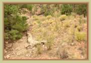
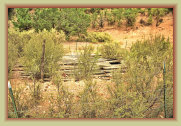
The 736-feet deep main mine shaft, scantly covered with a rotted wood covering. Do not cross barbed wire fence.
A 736 foot
fall is certain death.
Photo: SCHS/Peggy Hardman
Possible explosives storage shed near the main shaft
Adit portal just above
the main shaft
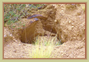
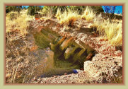
Photo: SCHS/Peggy Hardman
Partially buried camshaft
from the stamp mill (2018)
One of the camshafts from the stamp mill still at the site (2010 photo)
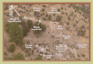
Identification of ruins
Photos: Courtesy New Mexico Bureau of Geology and Mineral Resources, Historic Photograph Archives, Socorro, NM 87801
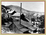
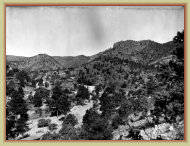
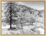
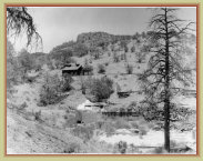
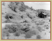
The 1891 built Rosedale stamp mill destroyed in the 1916 fire.
Photo circa. 1905
Remnants of the stamp mill after the 1916 fire
The small mill and cyanide plant, near the shaft and ore dumps, built by the Black Bear Mining Co. in 1934.
Closer view of the settling and pulp thickening tank
Mines3
0920/19
NM Bureau of Geology & Mineral Resources
NM Bureau of Geology & Mineral Resources
Photos: SCHS/Paul Harden
Drone aerial photos by SCHS/Paul Harden
Photos: SCHS/Paul Harden
Photos: SCHS/Paul Harden
Photos: SCHS/Paul Harden
Photos: SCHS/Paul Harden


