Socorro County Historical Society
Socorro, New Mexico, USA
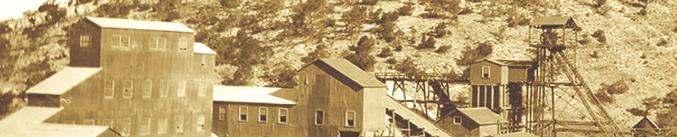
The Kelly Mine & Traylor Shaft

History
Articles
On this page:
THE MINING TOWN OF
KELLY, NM
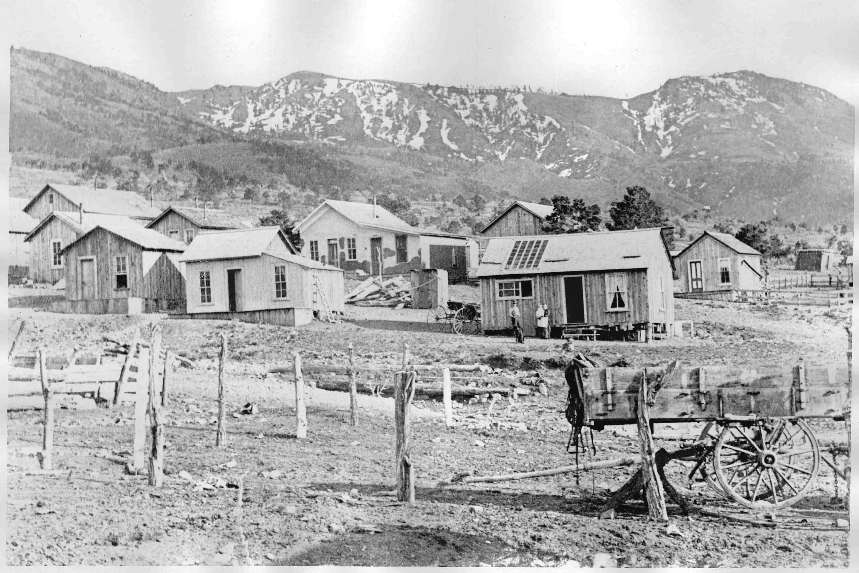
J. S. Hutchason, known as "Old Hutch," is credited with being the father of the Magdalena mining district and the town of Kelly.
Hutch discovered some rich lead outcroppings in 1866 and staked the Juanita and Graphic mines. Another mine was staked nearby by Andy
Kelley, naming the mine after himself. These were small operations at first. By the mid-1870s, other prospectors began arriving in
the area and staking claims, calling the area "Middle Camp." In 1879, the growing mining camp was registered at the Socorro County
Courthouse and named after mine owner Kelley. A clerical error incorrectly recorded the name as Kelly and so known ever since.
Kelly
began to boom in the 1880s with the building of the Gustav Billings Smelter in Socorro in 1881 and the arrival of the AT&SF railroad spur
in 1885. Shipping the ore via railroad to a local smelter in Socorro vastly increased the production of the mines -- and Kelly grew
as more miners were needed to keep up with the demands. Soon Kelly looked like any bustling mining town in the west with
a variety of stores, saloons, hotels, doctors, schools, churches, and hundreds of families to support the dozens of mines
in the area.
In 1896, the Graphic Mill (also called Ozark Mill) was built nearby to process the lead, zinc and silver ores.
In 1904, the Graphic mine was sold to the Sherwin-Williams Paint Co. and shortly thereafter, the Kelly Mine was sold to the Tri-Bullion
Smelting Co., who built the smelter next to the Kelly mine. All this activity made Kelly the leading zinc producer in the
state with the population of the mountain town exceeding 2,000 persons.
Like most mining towns, the ores began to play
out in the early 1930s. Dozens of area mines began to close their tunnels and shafts.
The Graphic, Nitt and Kelly continued to mine through the 1930s, though on a much smaller scale. With hundreds of miners
out of work and moving elsewhere, Kelly began to die, leaving many homes and businesses abandoned. During the Great Depression of
the 1930s, people from Socorro and Magdalena slowly dismantled the abandoned structures for the building materials or for firewood.
The town of Kelly slowly began to disappear from its former glory.
Some mines remained active during the 1940s providing lead,
zinc and copper for the war effort. However, after WWII, the combination of low metal prices and the ores of the Kelly mines being
virtually exhausted, the final death blow came to Kelly and her mines. By the early 1950s, the Kelly Mine, for example,
had sold and removed all of their mining and milling machinery, dismanteled most of the structures, and abandoned everything
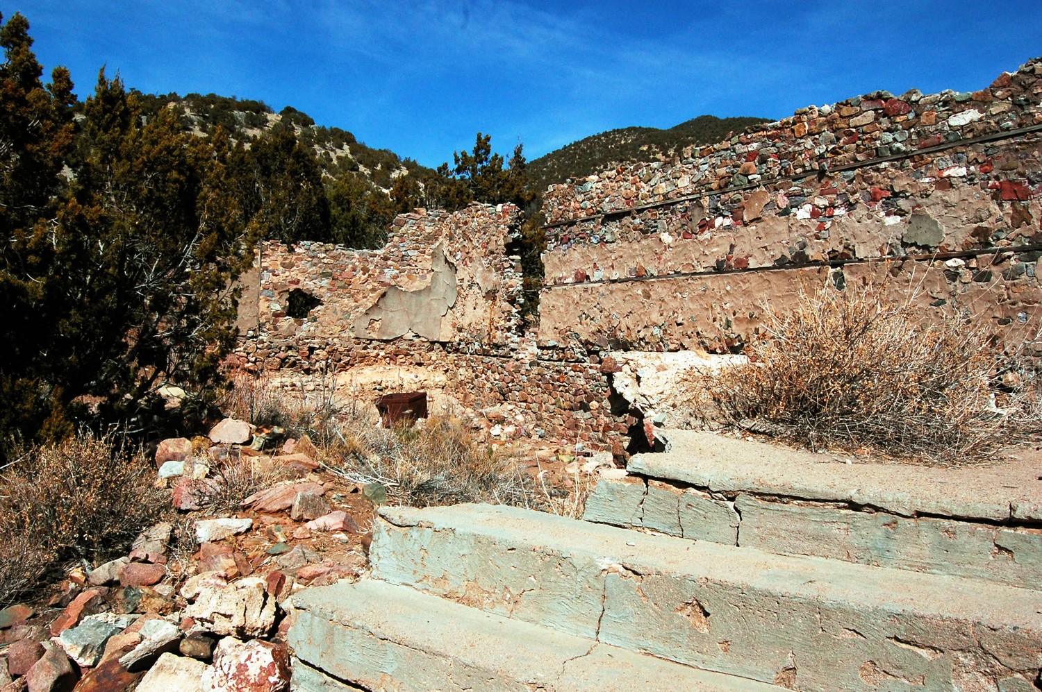
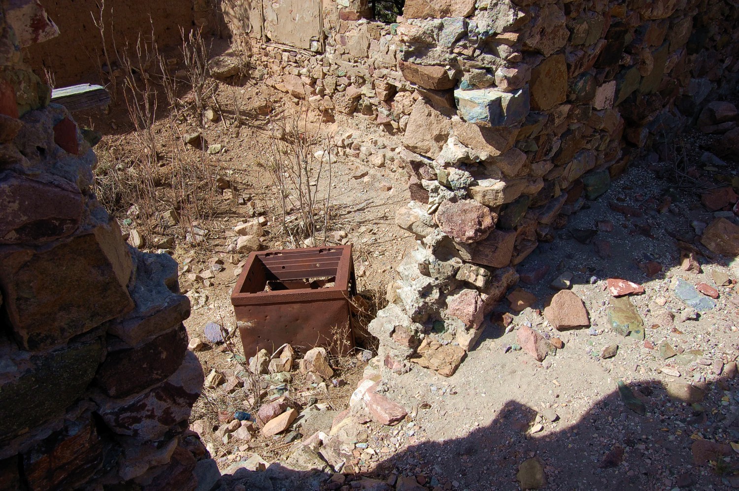
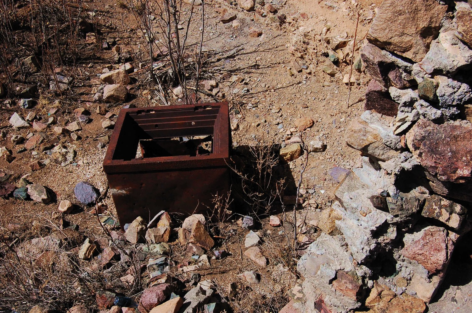
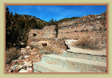
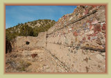
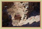
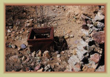
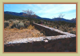
else considered to have no value. What was left is what you see today.
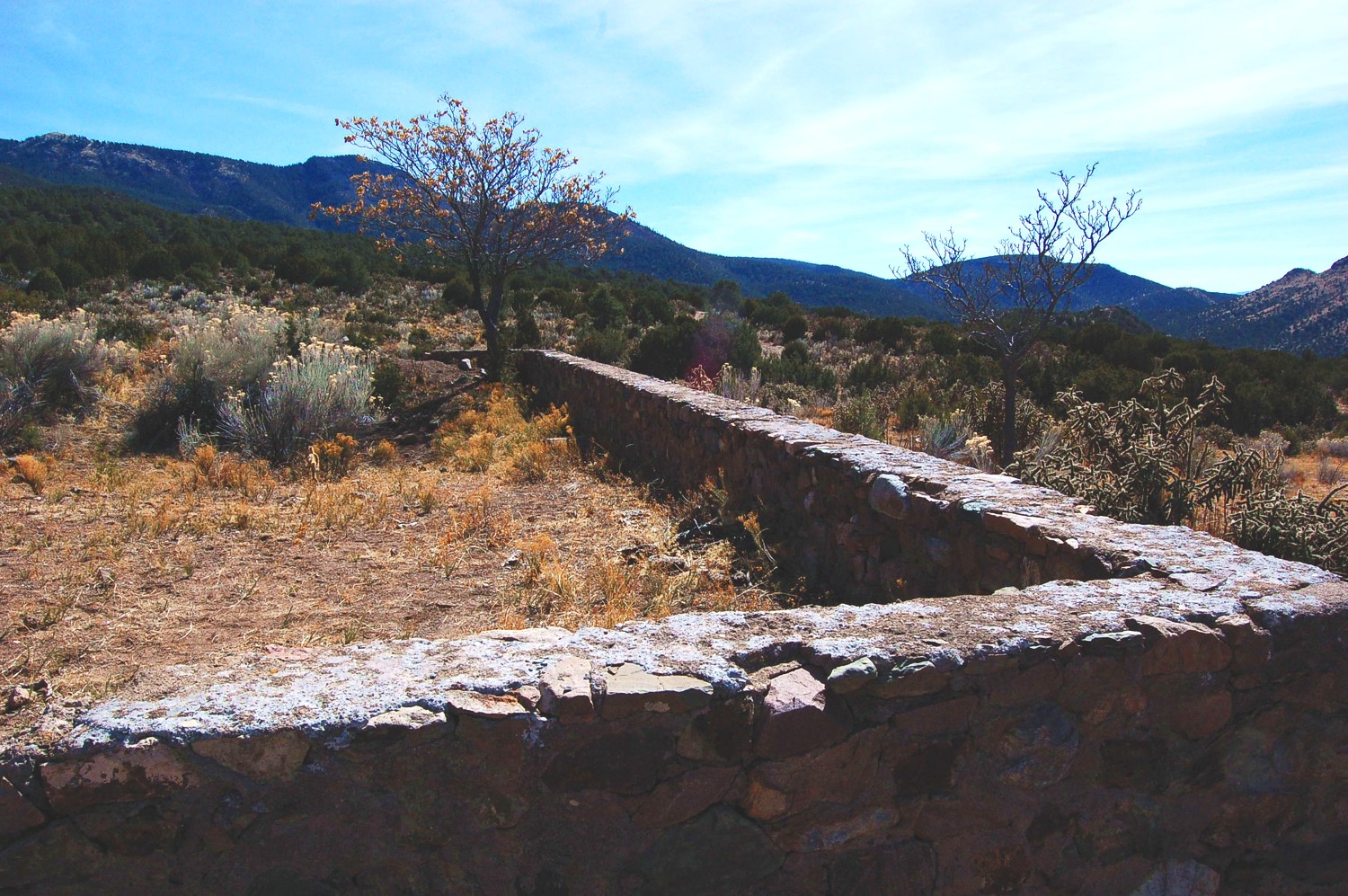
Though little is left of the former town of
Kelly, it is considered one of New Mexico's best ghost towns, and certainly the most accessible. The remnants of the town, the
church, the abandoned mines, headframes and tailings are a living history museum of sorts of the hey-day of mining in the Territorial
west. Visiting Kelly, it is difficult to imagine how it was once home to nearly 3,000 persons, or produced millions of dollars
in lead, zinc and silver.
If you do visit Kelly, please respect this valuable historic site to help preserve it for future generations
to also enjoy. Much of the town and mines remains private property, so explore with respect.
** Take only photos -- leave
only footprints. **
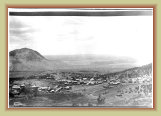
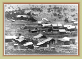
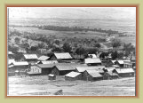
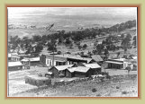
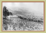
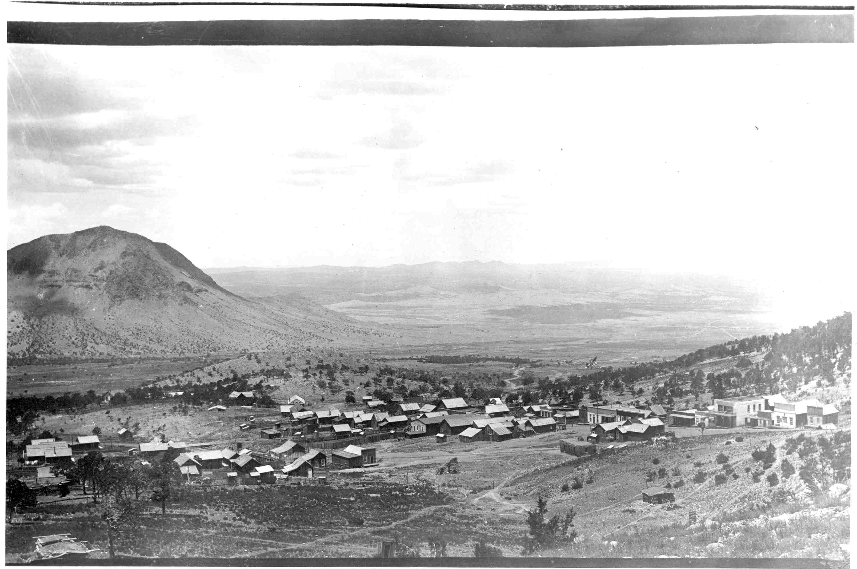
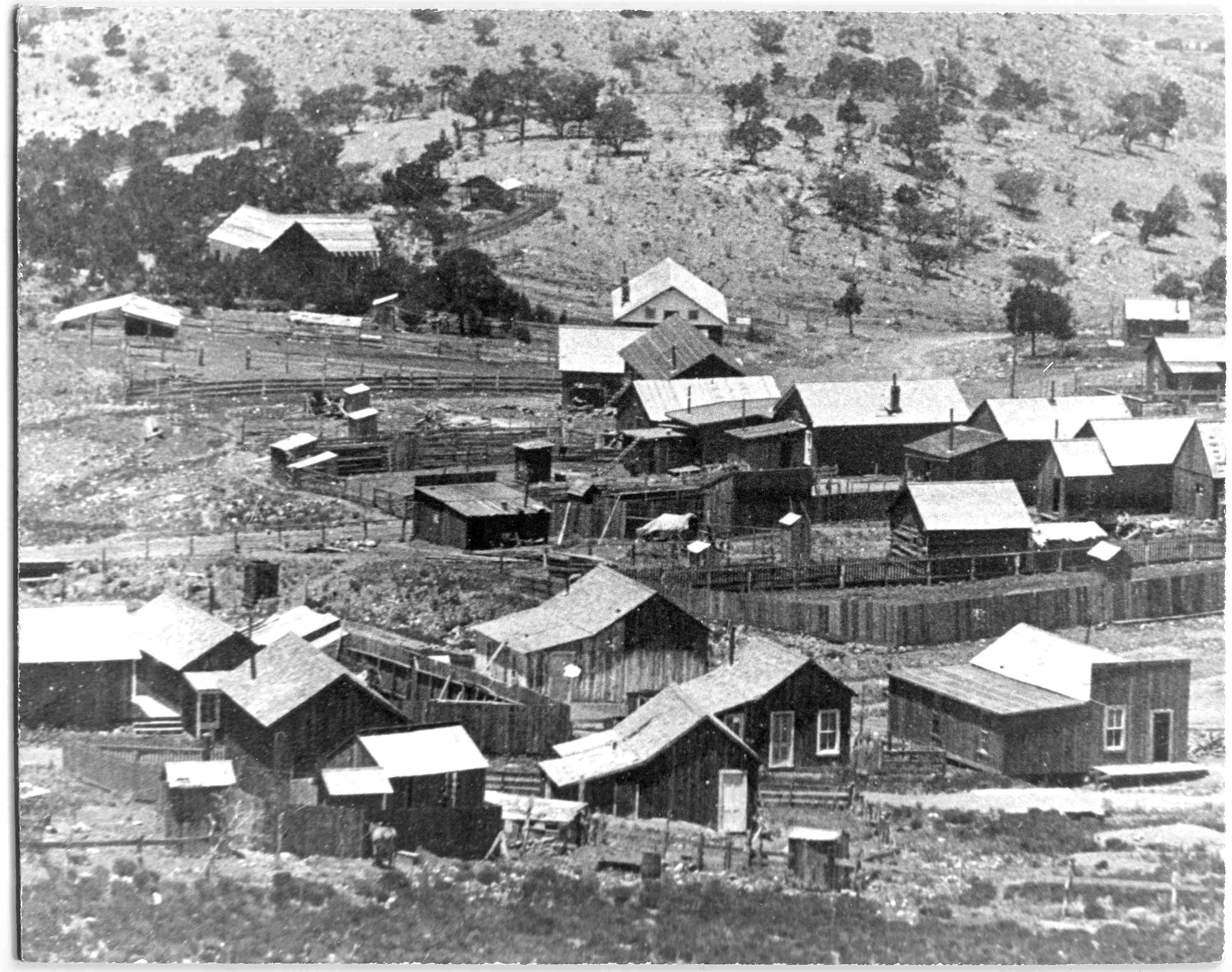
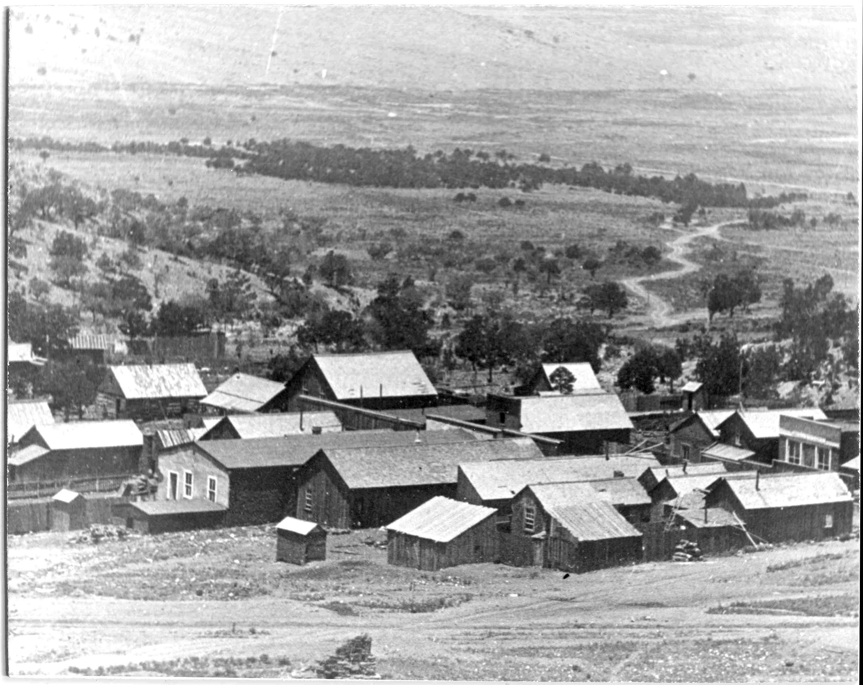
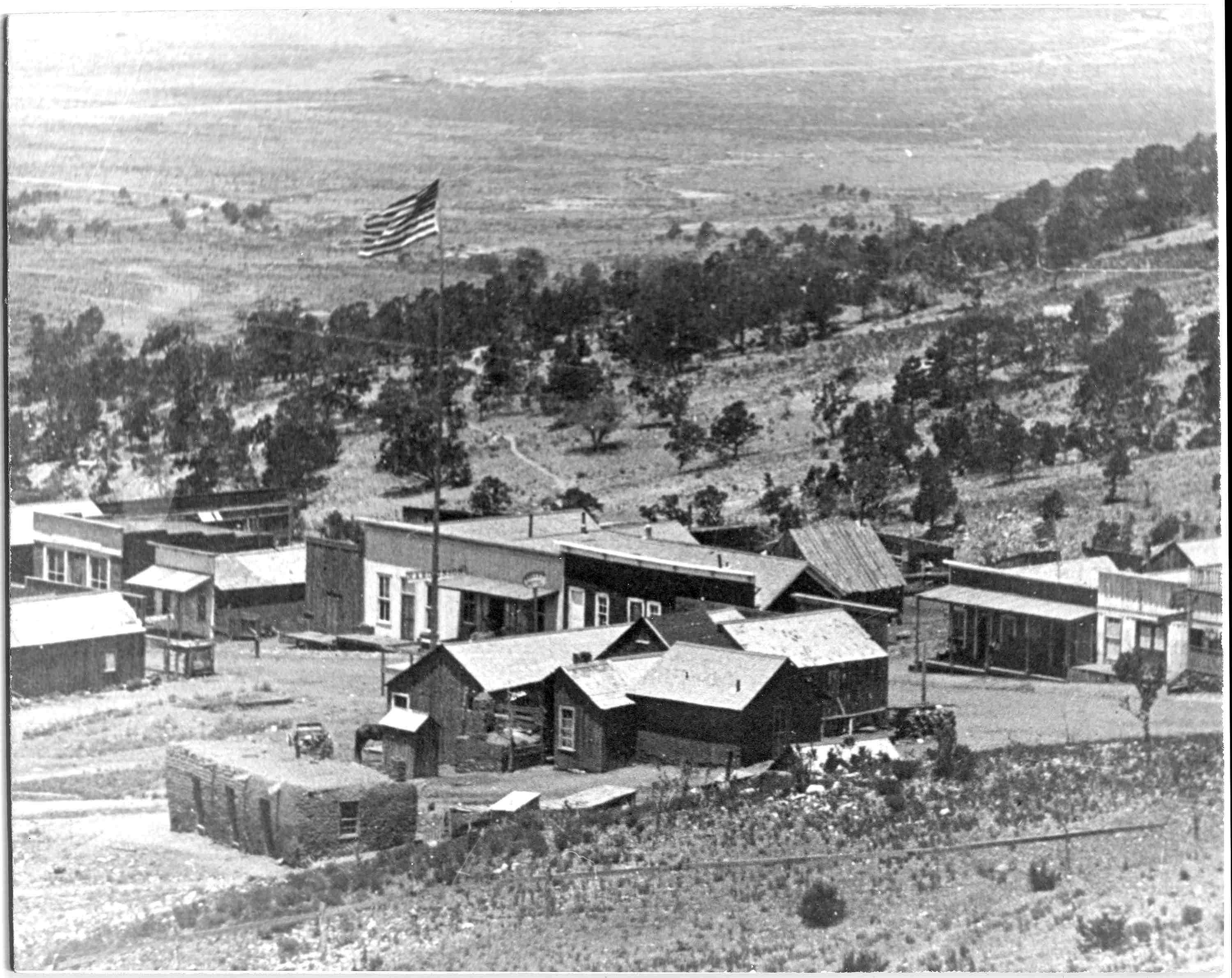
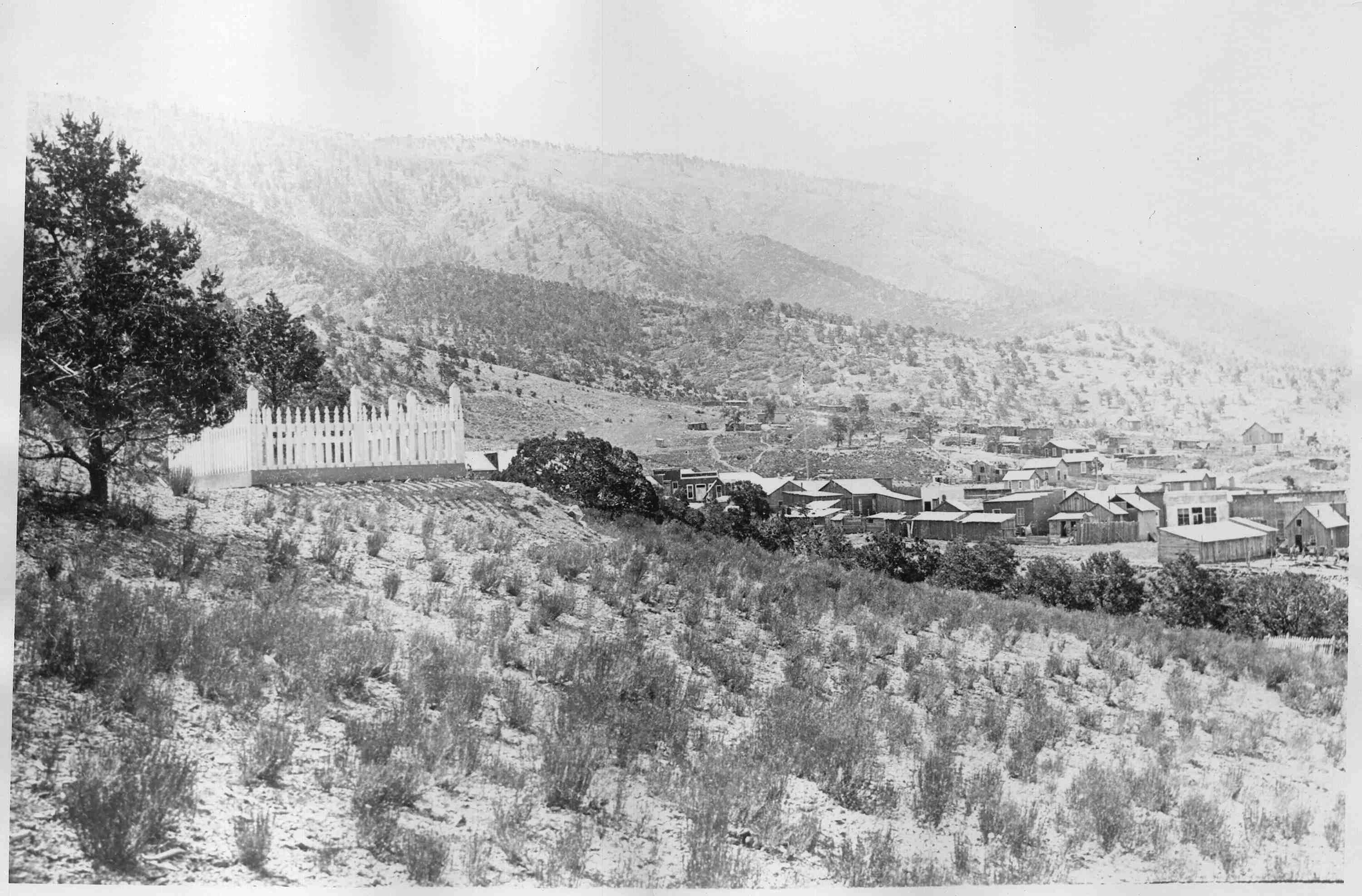
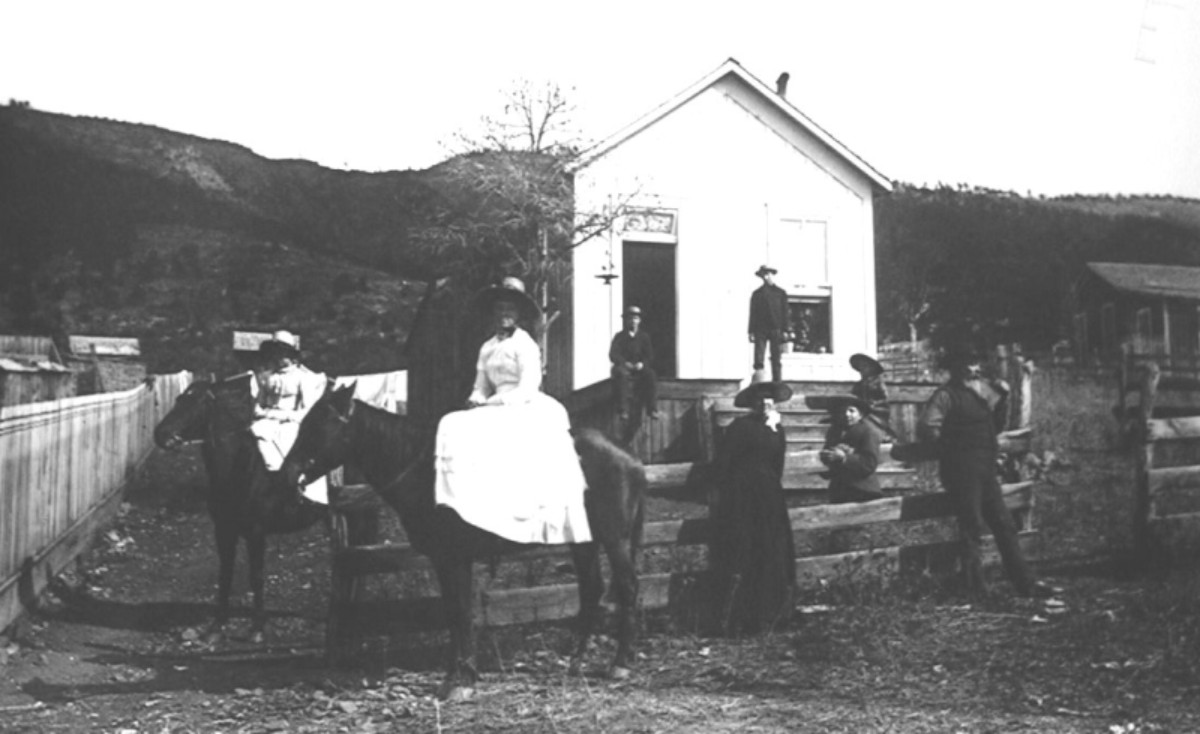
Overview of Kelly
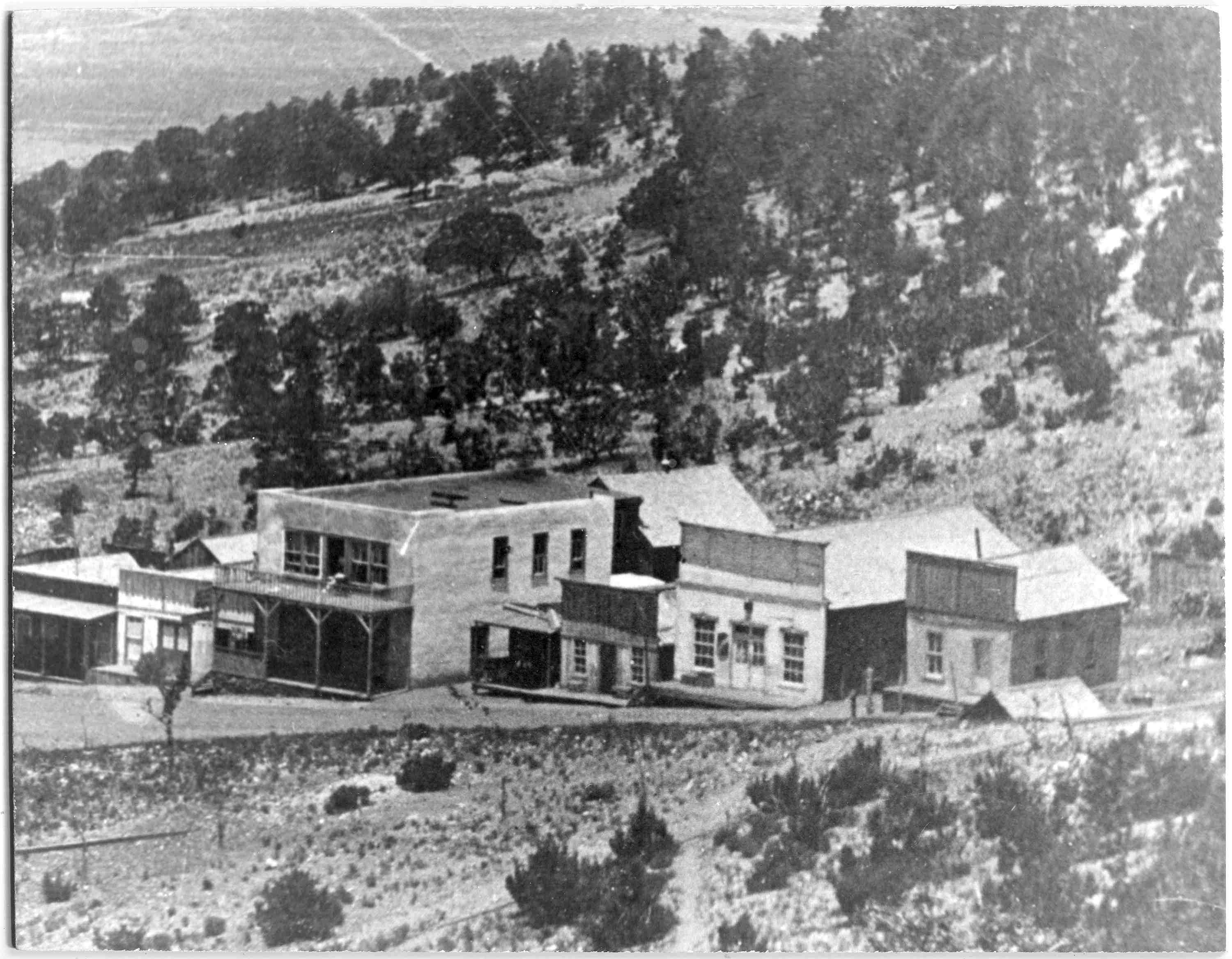
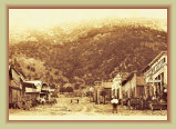
Views of Kelly looking east circa. 1890s
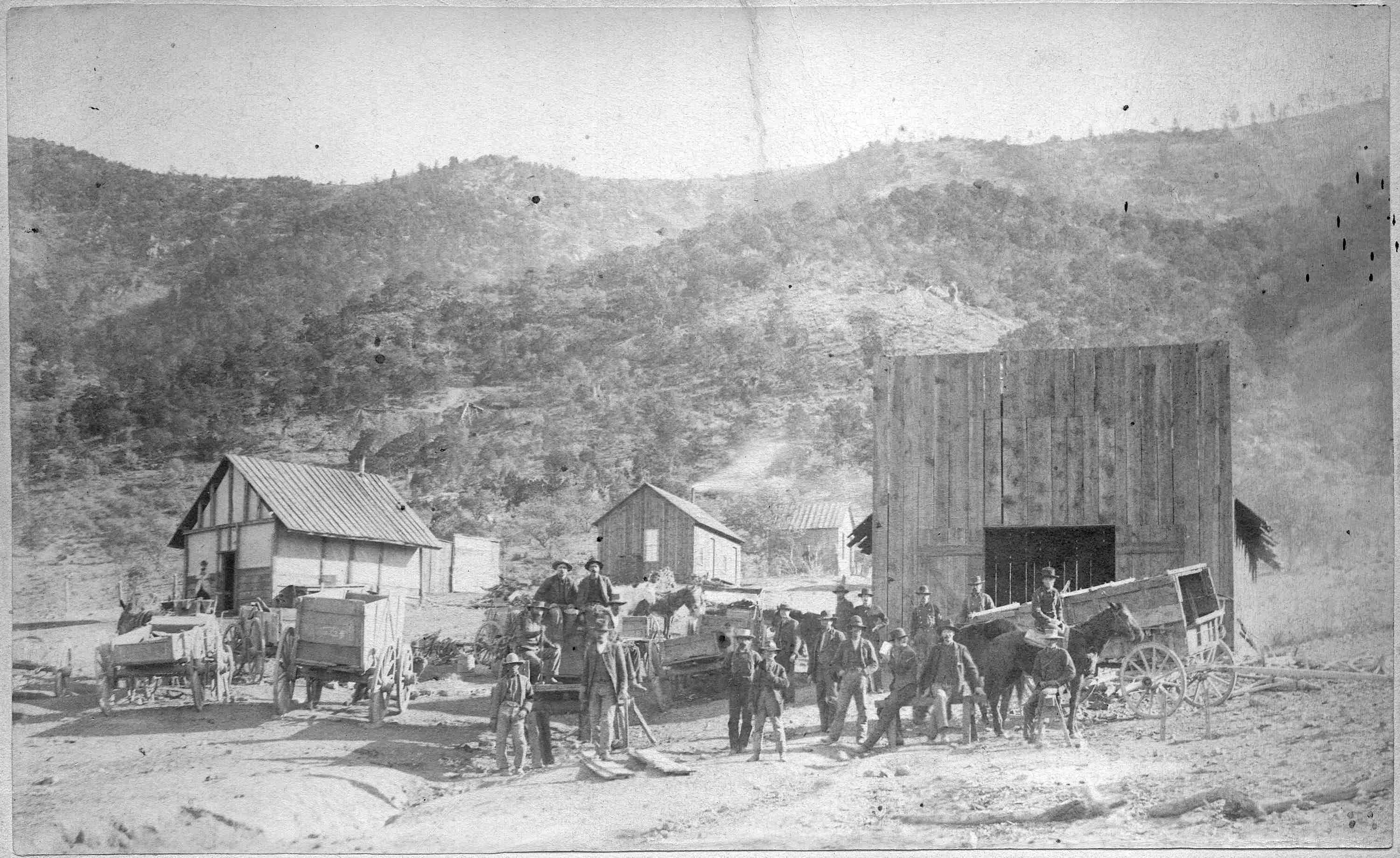
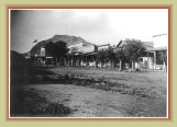
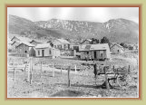
Kelly Blacksmith shop
View from cemetery
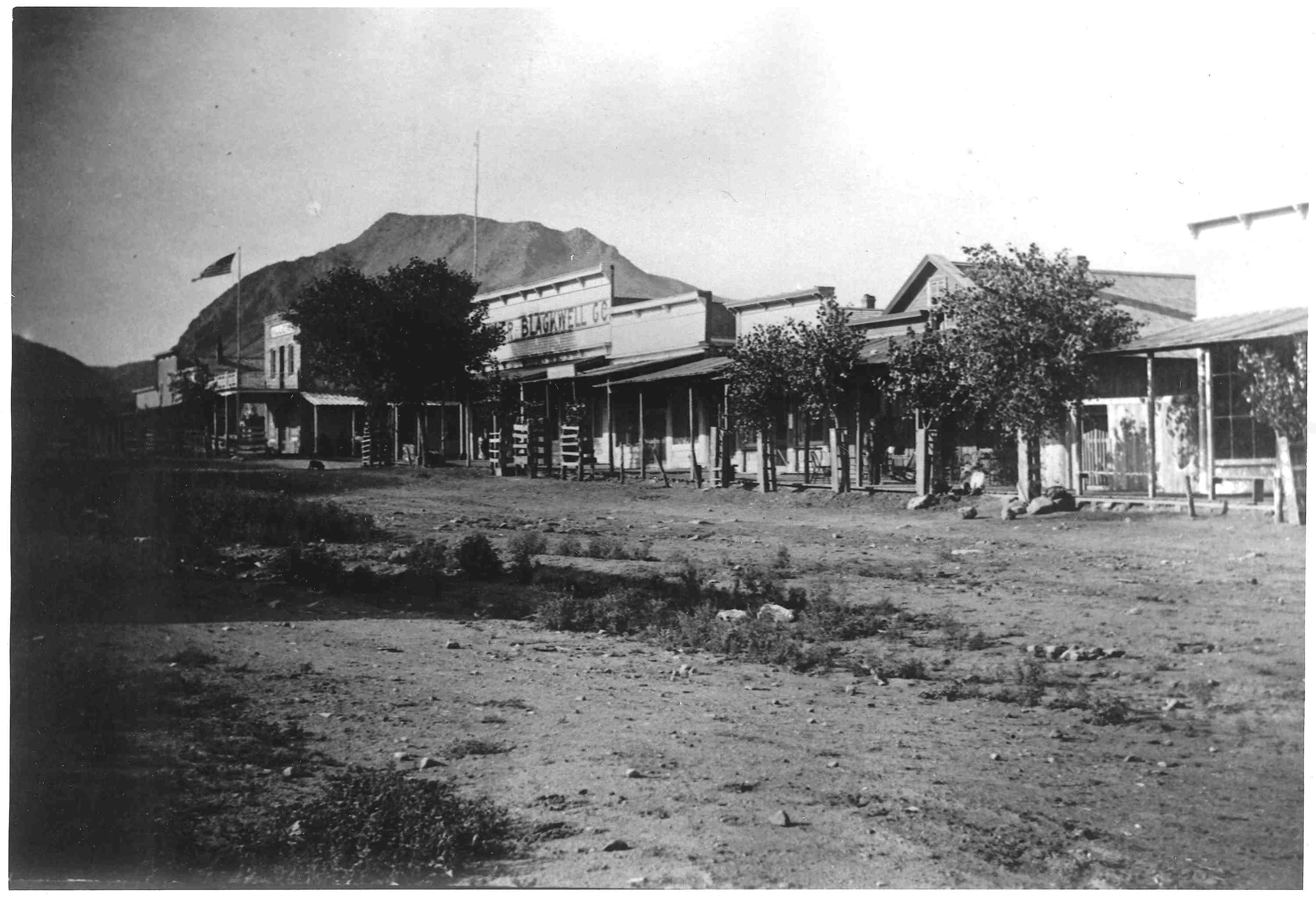
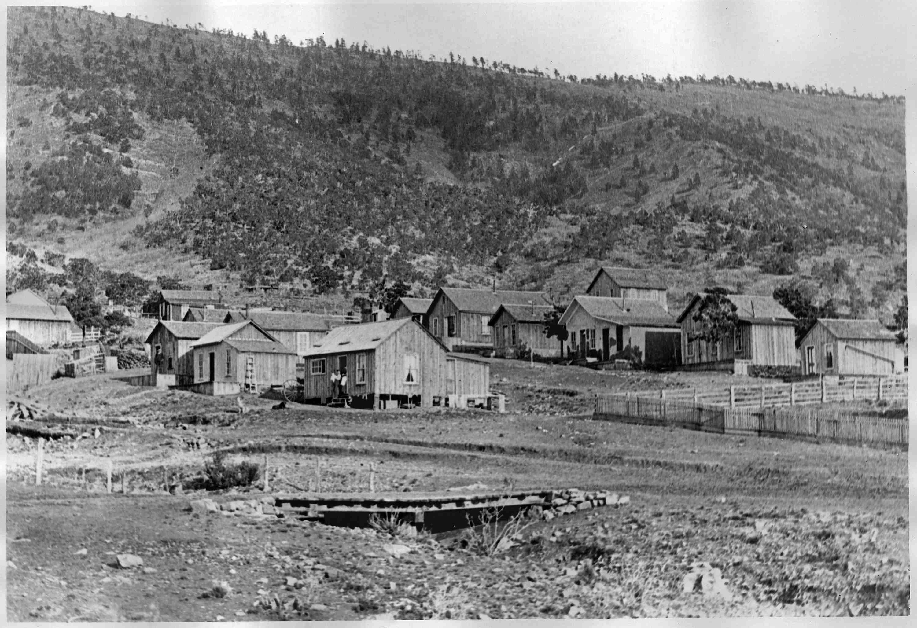
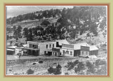
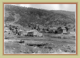
Views of Kelly looking west circa. 1890s
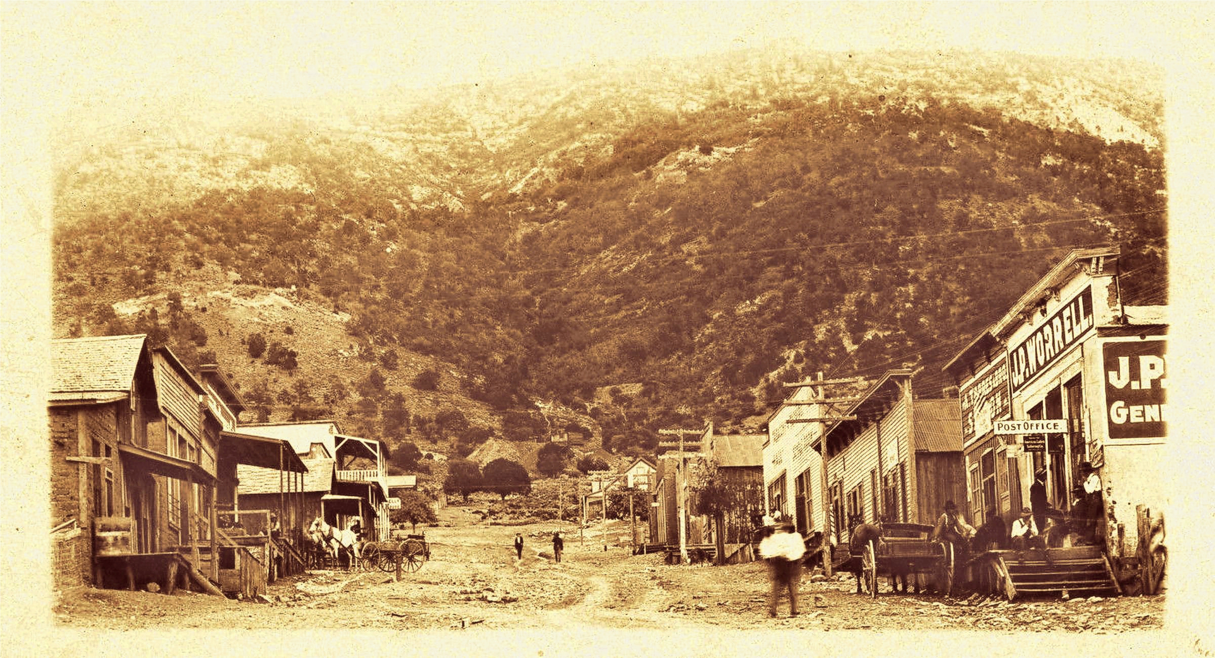
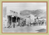
Some of Kelly's business district
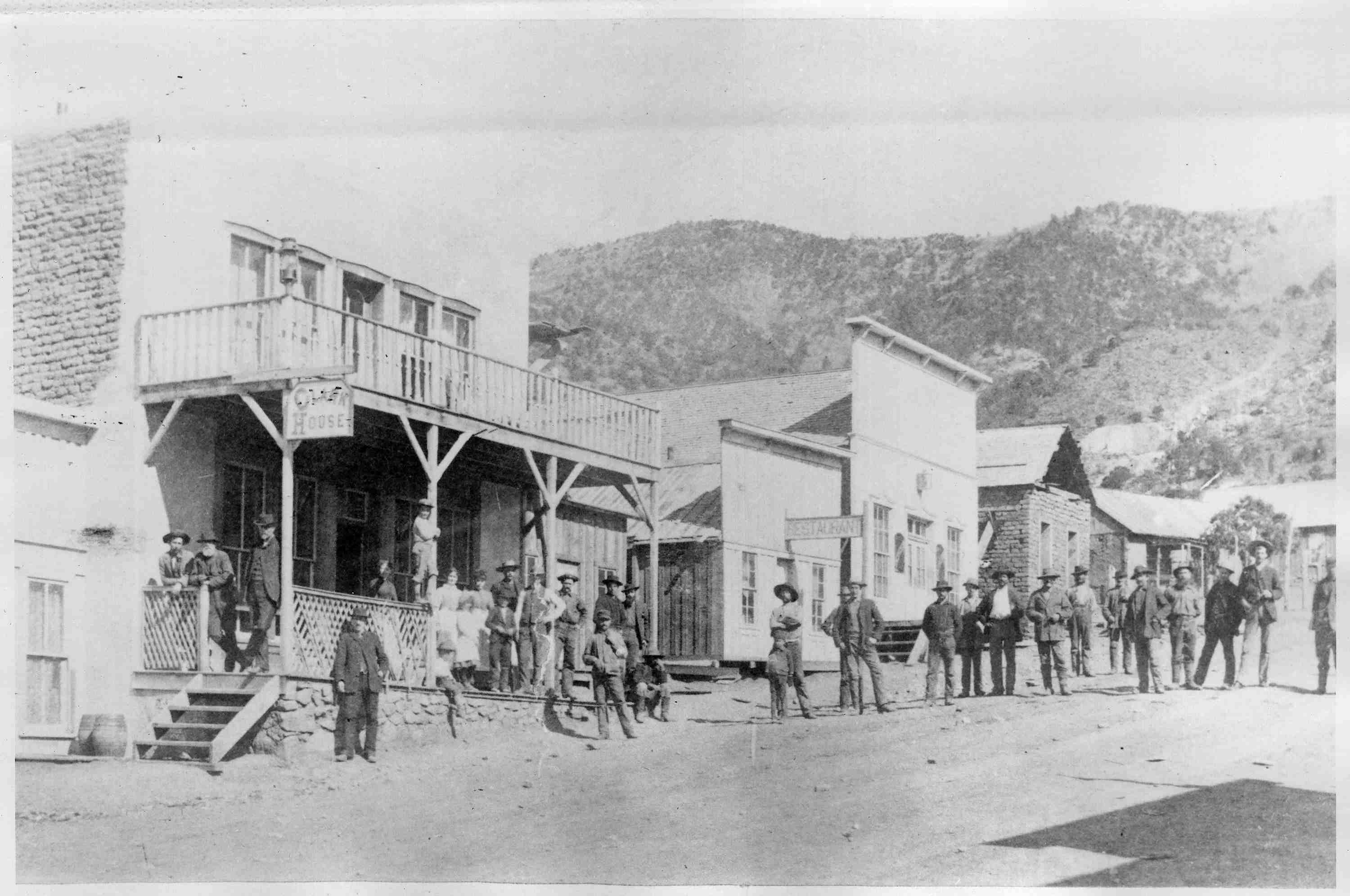
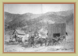
An old 1910 postcard
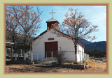
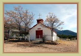
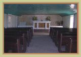

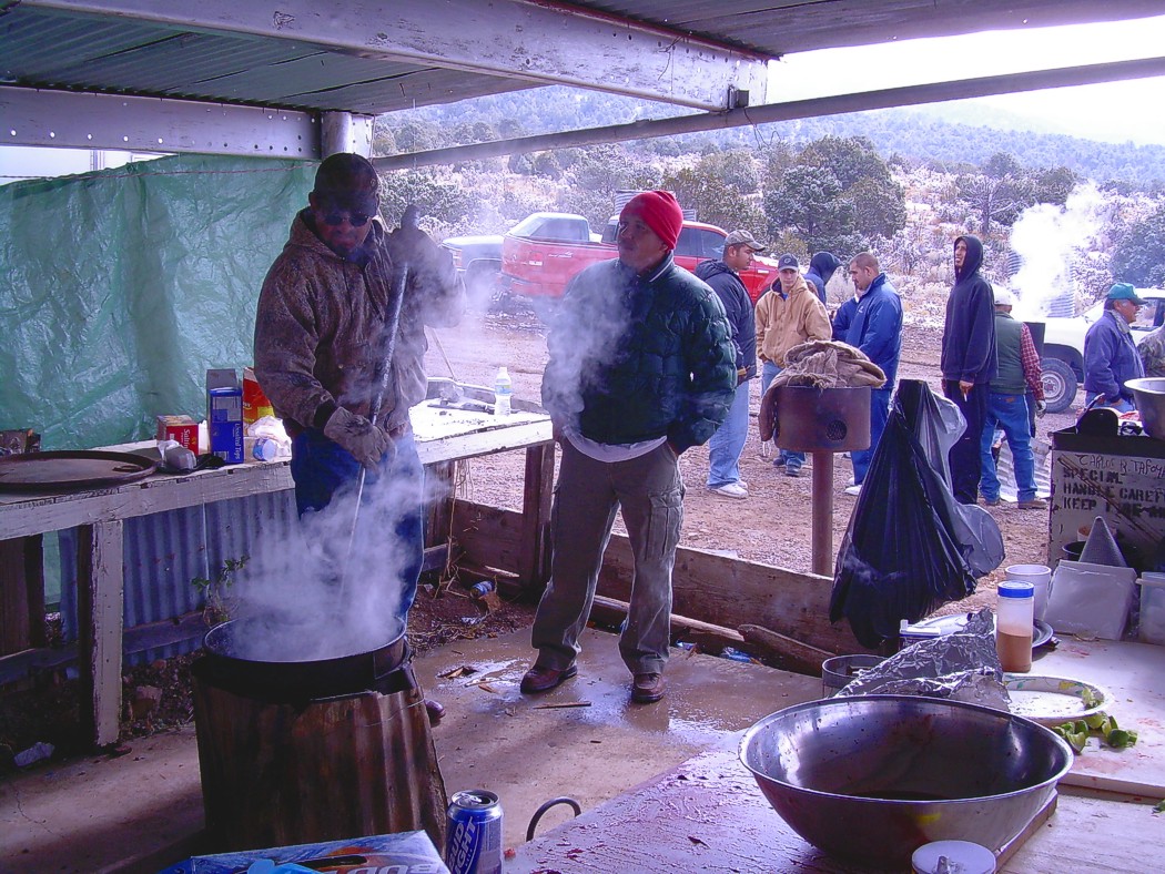
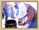
Carlos and Olivia Tafoya are the mayordomos of Kelly. Several times a year, the Tafoya's bring Kelly alive with picnics,
matanzas, and the annual fiestas in June, for town and family reunions. Even weddings have been recently held in Kelly.
Carlos' father and grandfather both worked in the Kelly mines. The Tafoya family also still owns property in Kelly, including the
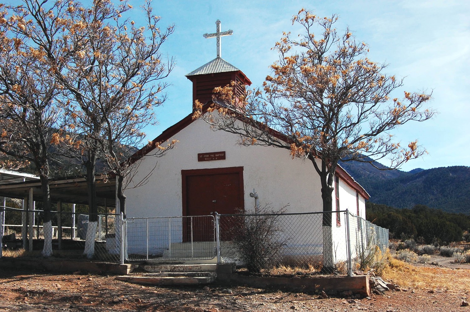
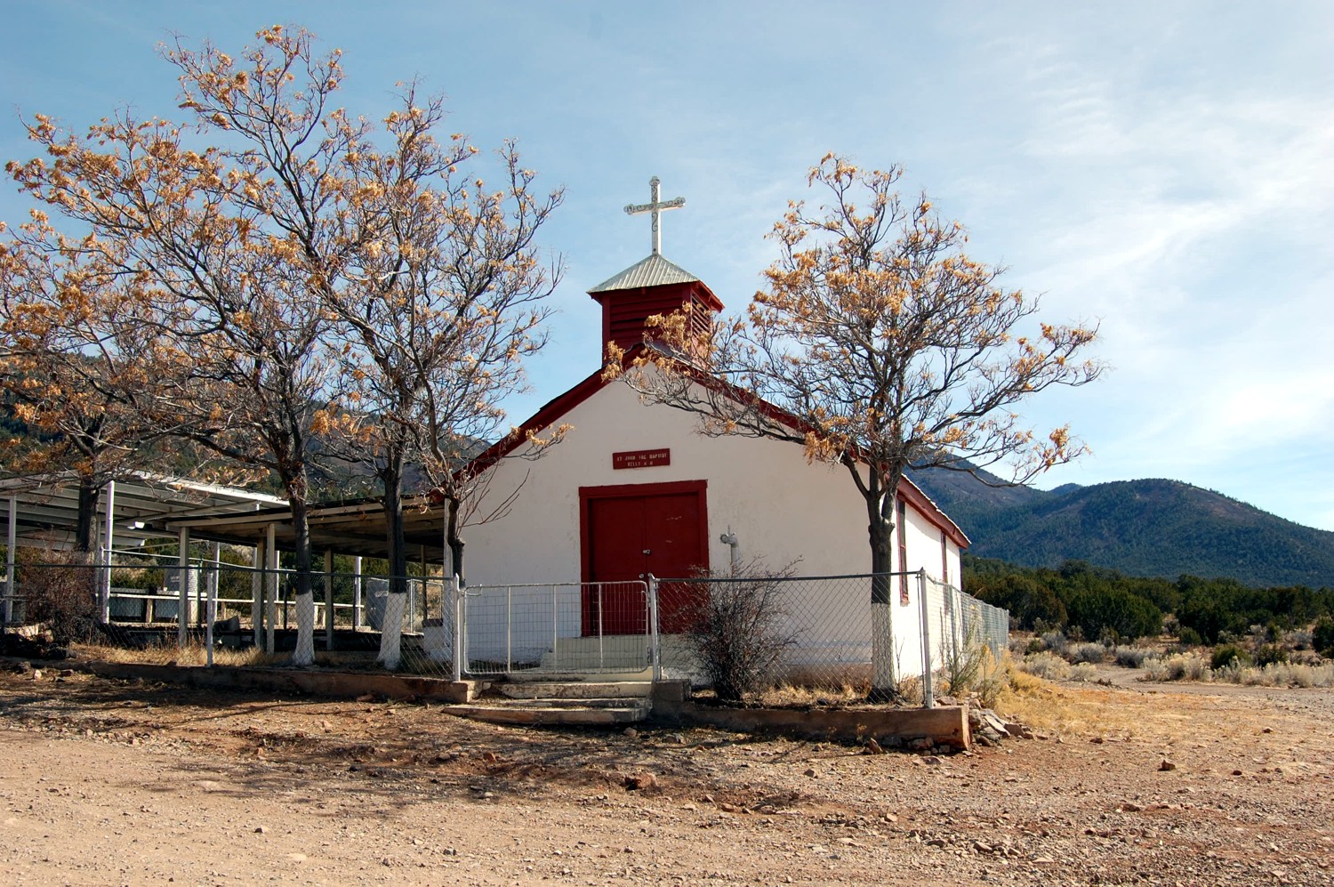
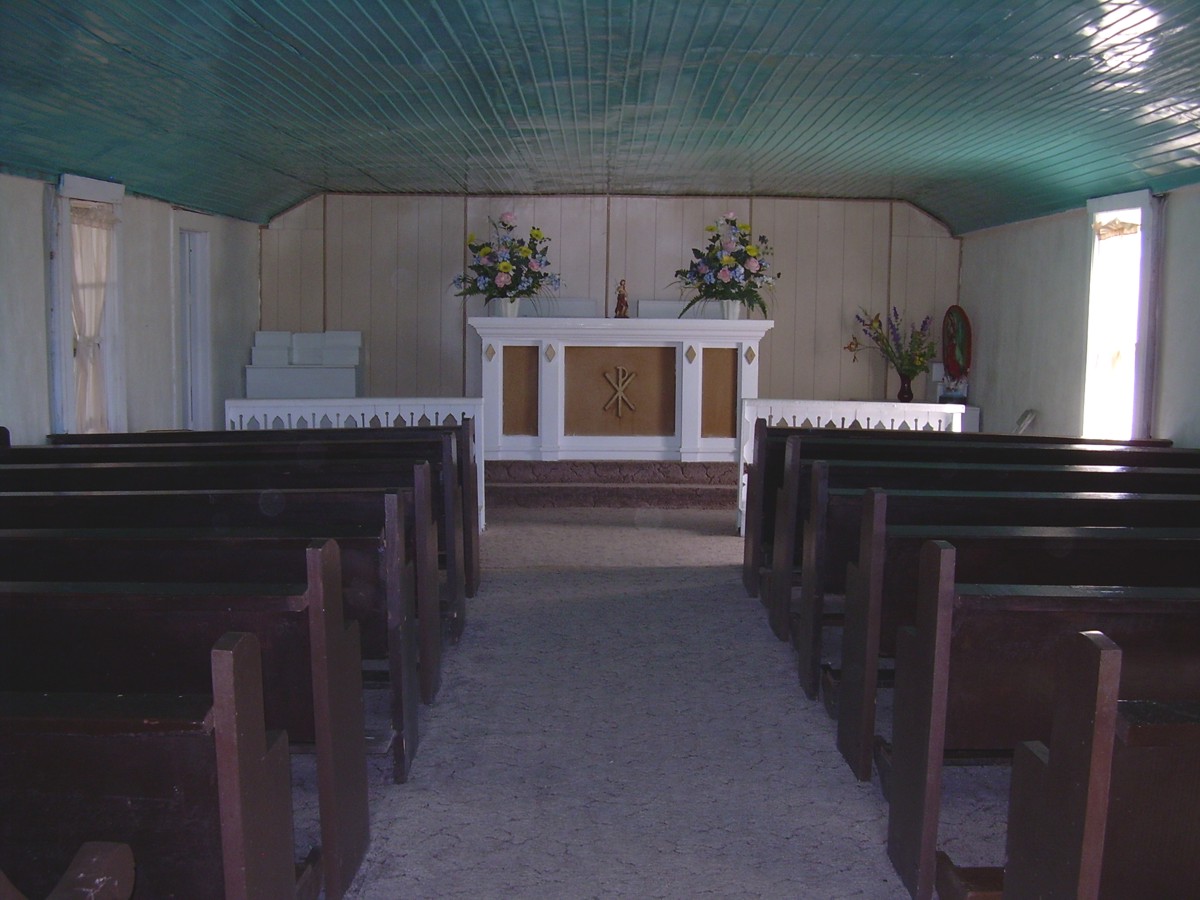
property upon which the Kelly church is located.
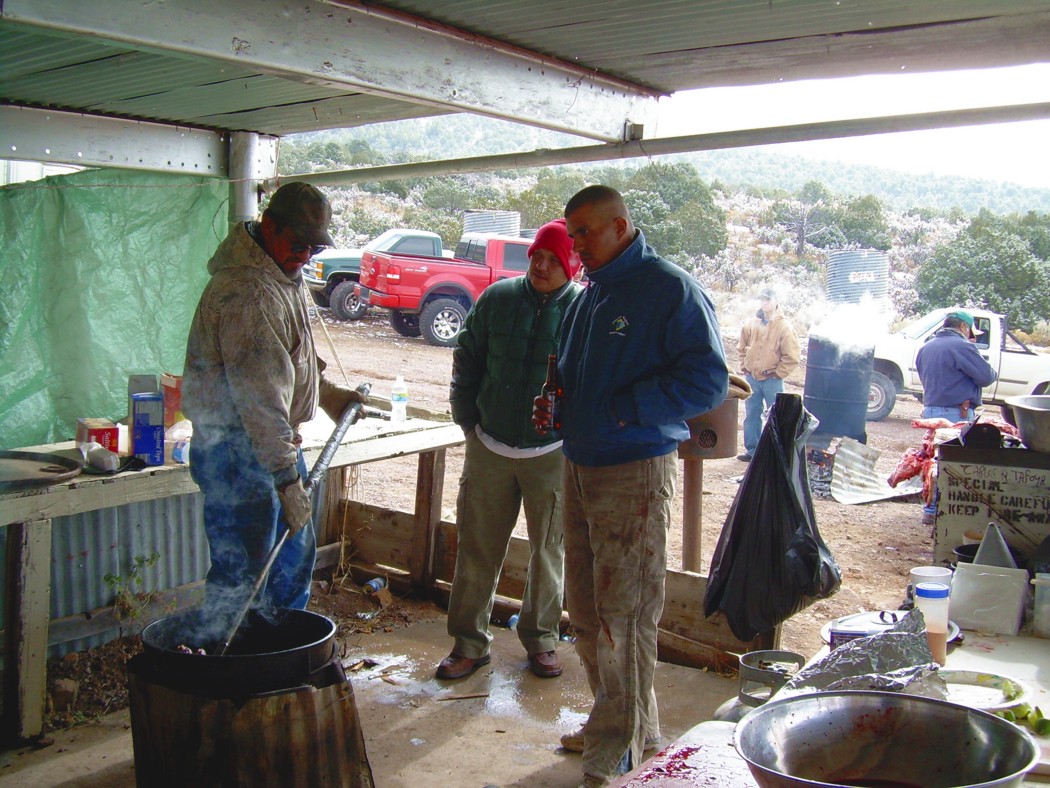
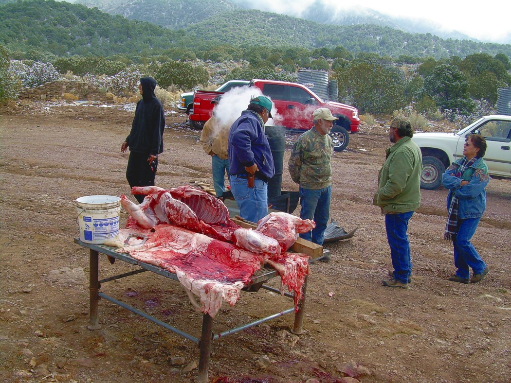
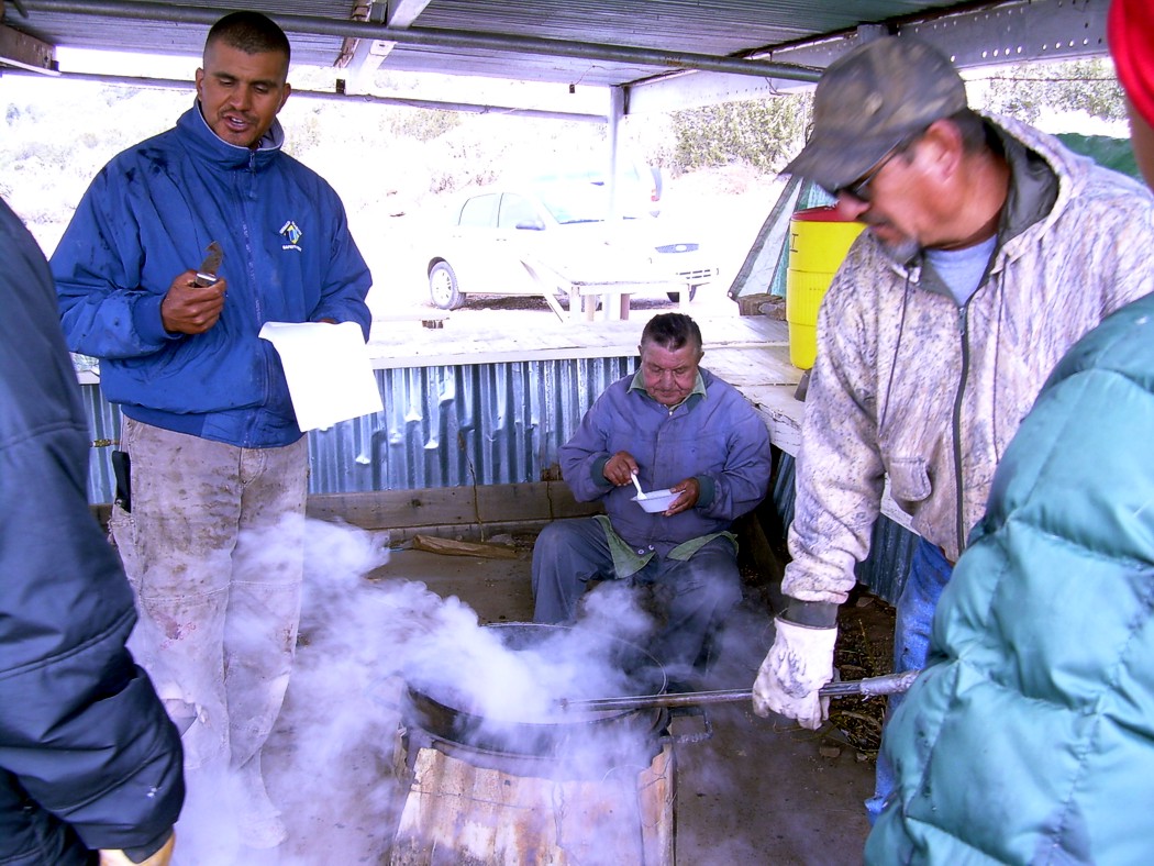
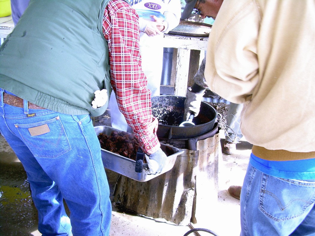
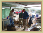
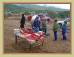
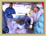
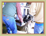
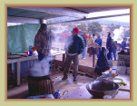
The Annual Fiesta is held each June which consists of a matanza, pot-luck food
all day long, live music, entertainment, and a family reunion for the old residents of Kelly and their descendants. Some years, descendants
travel from many states away to attend the fiesta and reunion activities. Mass is also offered by the Socorro Parish priest on
the Fiesta Day. Holding mass at least once a year keeps the many remote churches in Socorro County on the "church rolls" as
an active church.
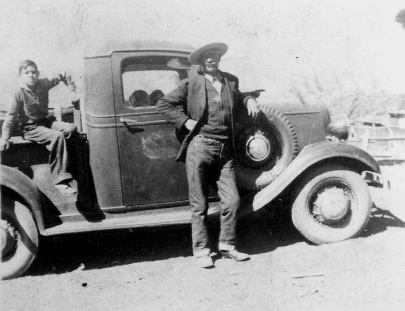
The Tafoya home
in Kelly
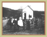
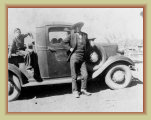
Carlos Tafoya's father on left, grandfather on right (standing)
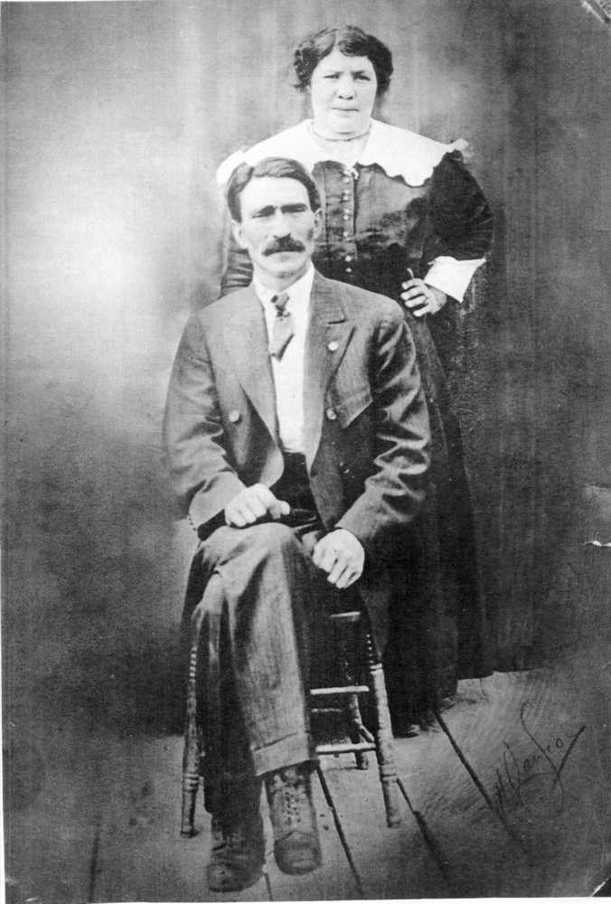
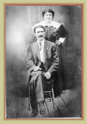
Carlos' grandfather
and grandmother
Family photos courtesy Carlos Tafoya
Links:
2
0723d
Mines