Click photos to enlarge
What is commonly called "the Kelly Mine actually consists of the Traylor, Paschal and Billings shafts, and the Kelly tunnel, originally
owned by the Tri-Bullion Smelting and Development Co. and sold to the Empire Zinc Co. in 1913. The property covers 40 claims over
578 acres. Lead and zinc were the main metals mined at Kelly, with lesser amounts of silver, copper and other metals also recovered. The
mine is located just north of the townsite of Kelly, NM ... originally called "Middle Camp."
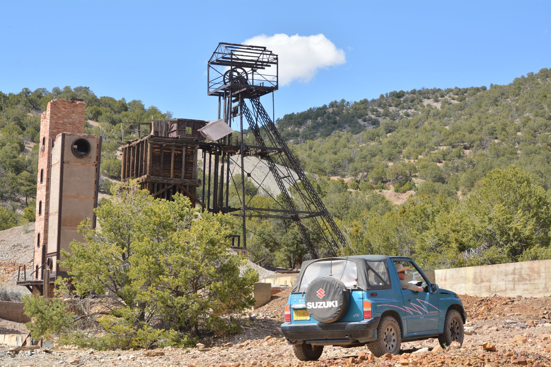
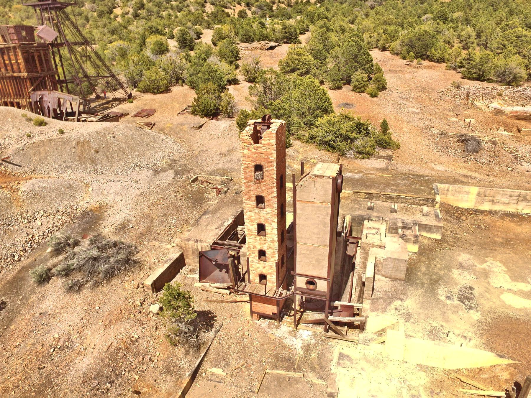
The Tri-Bullion Smelter was
also built to process much of the zinc and lead ore "on site." This vastly increases the mining profits by milling and smelting
the ores locally rather than shipping to an outside facility. Today, the tall brick tower is a remnant of the Tri-Bullion Smelter.
Under
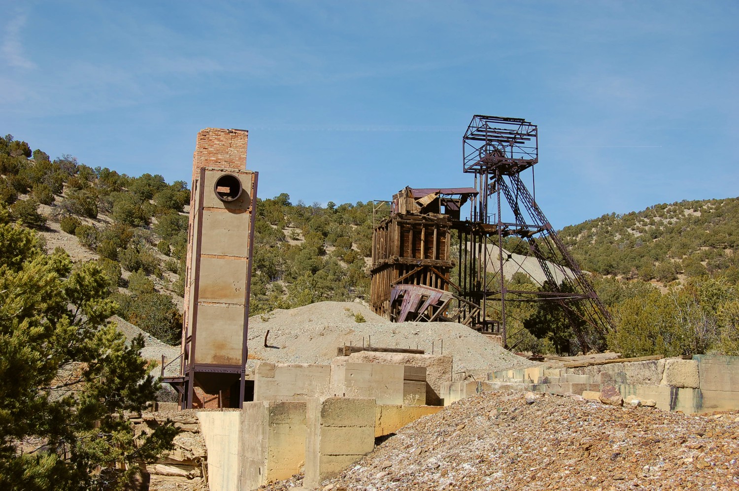
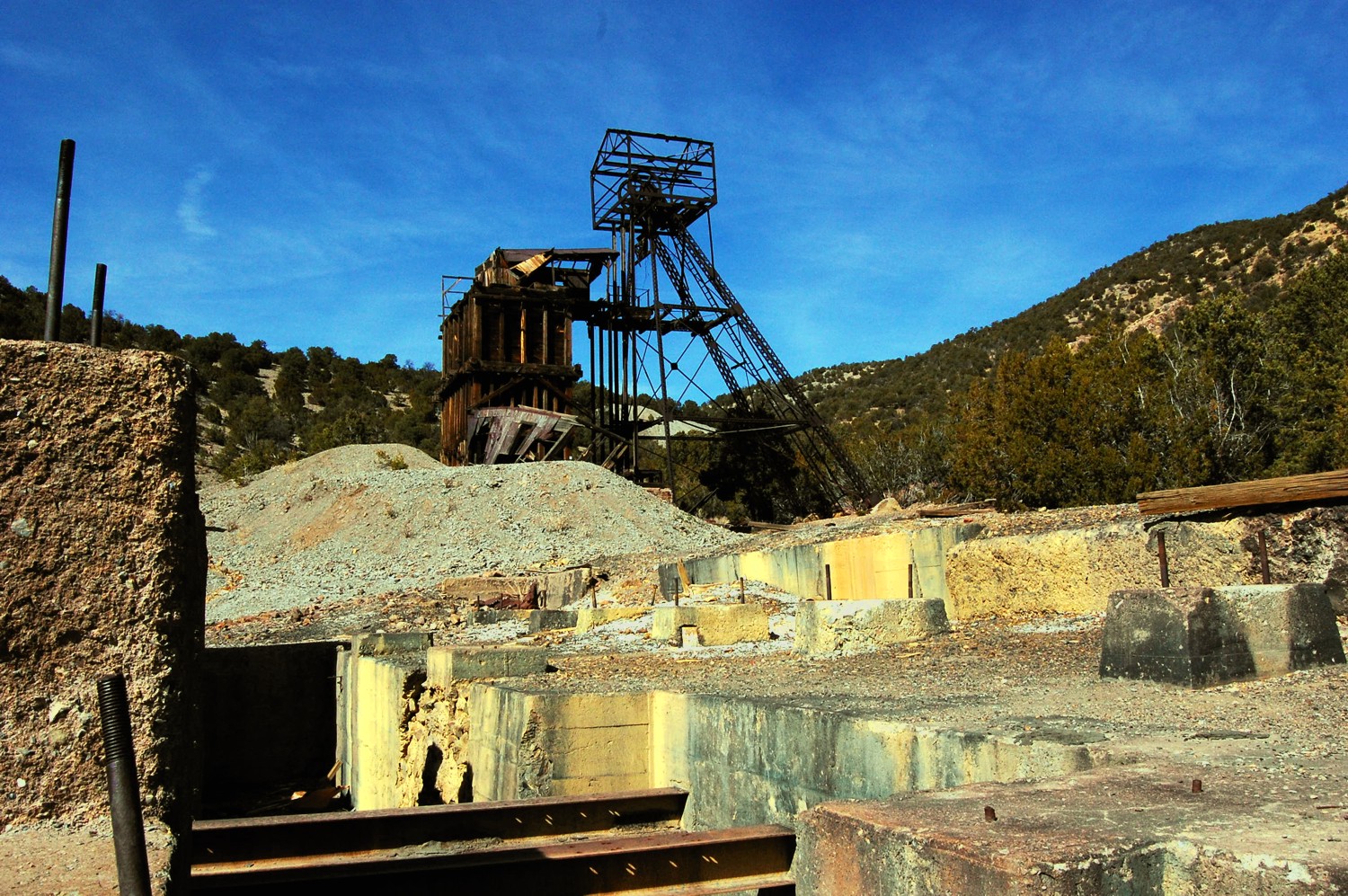
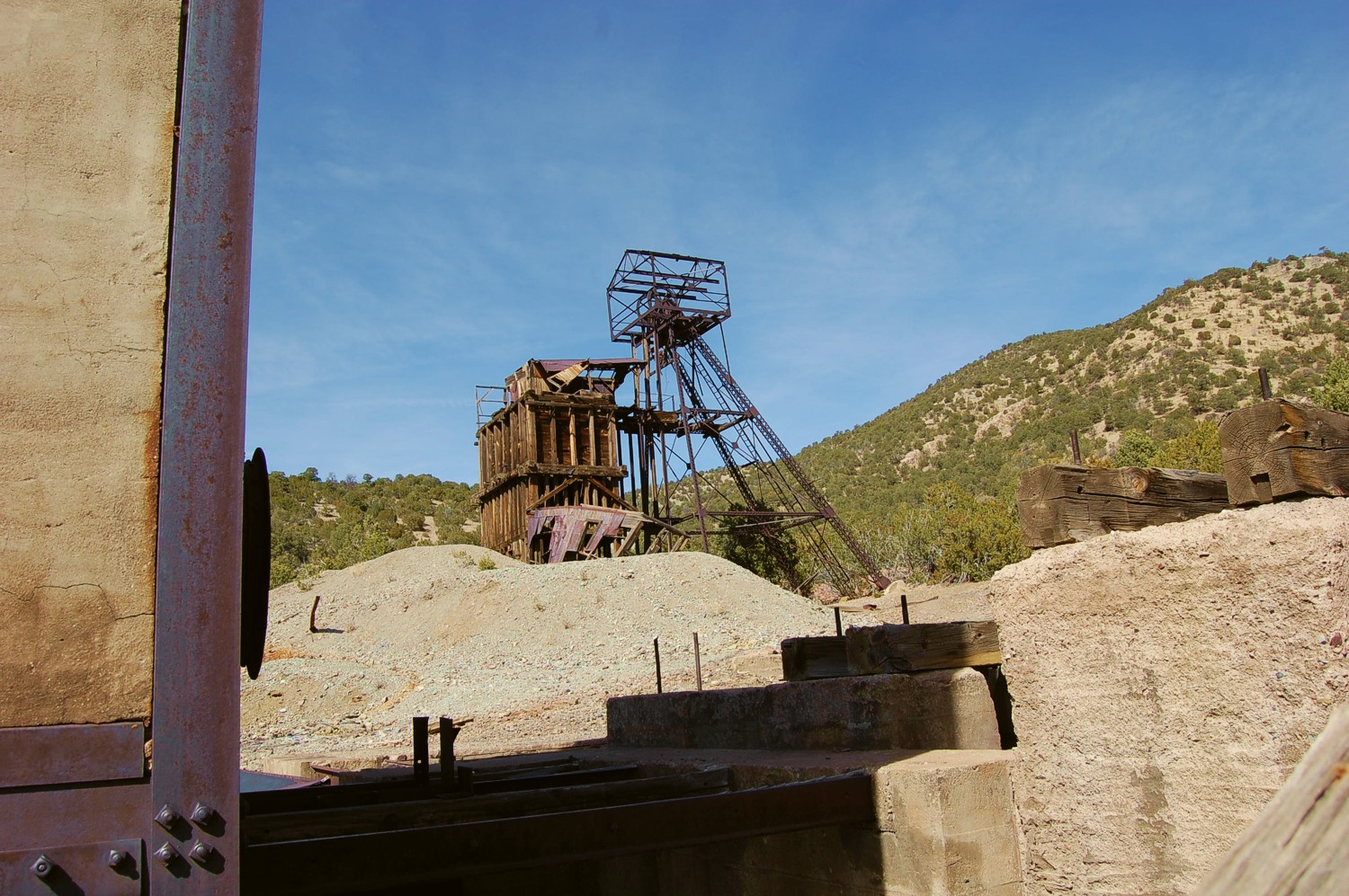
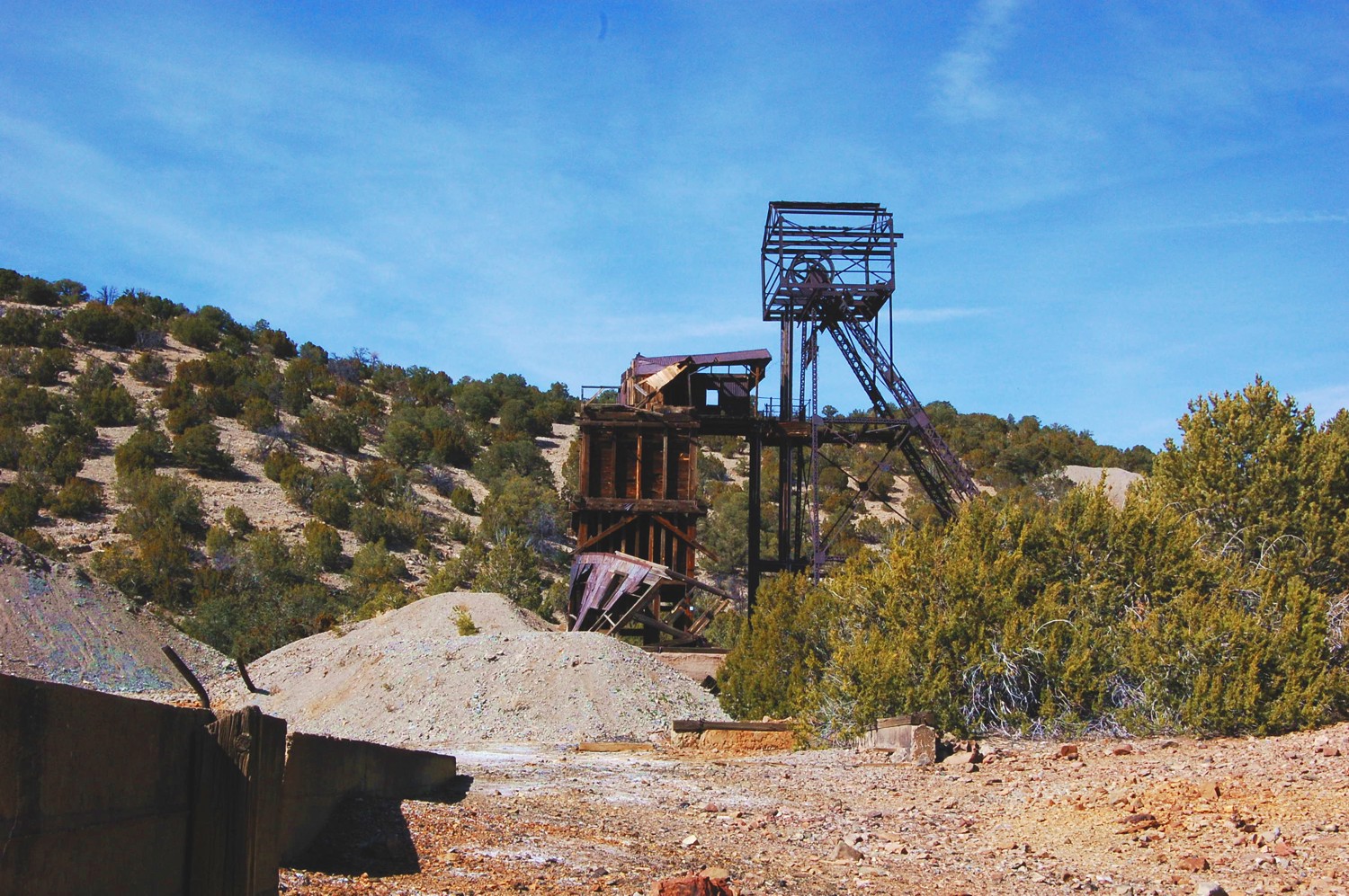
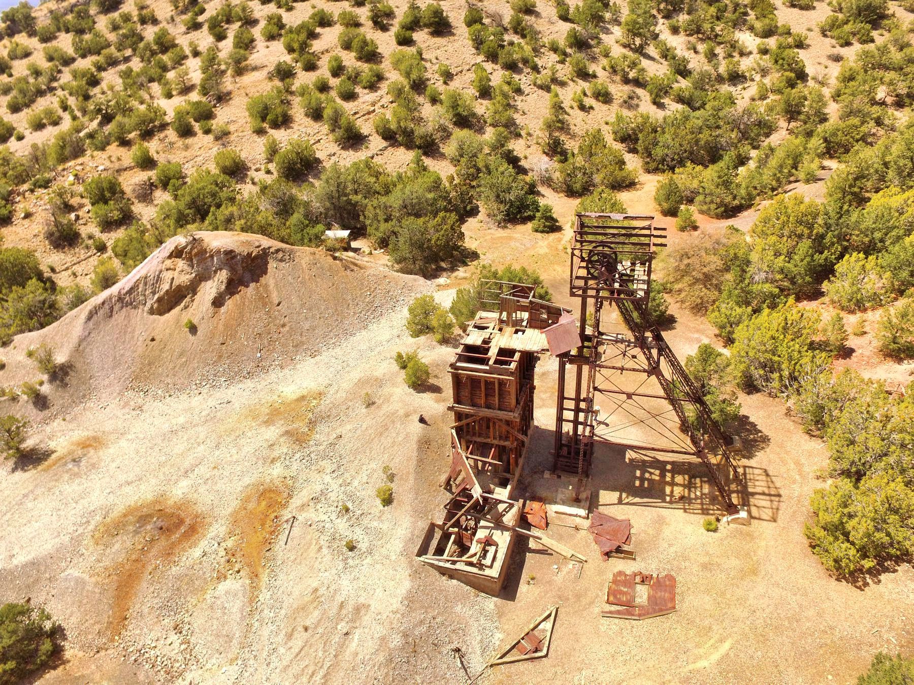
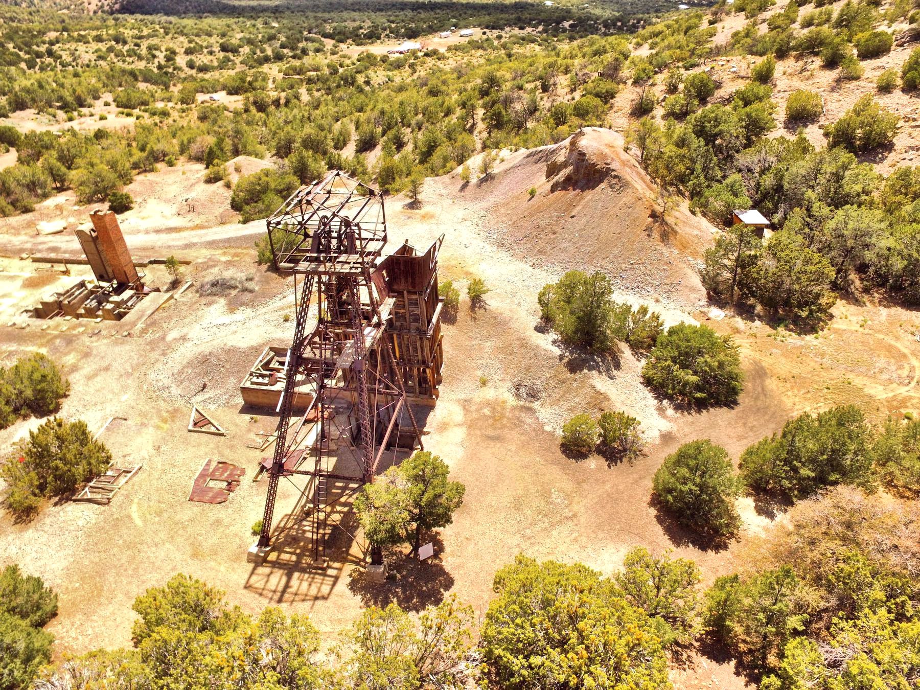
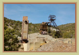
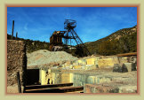
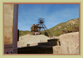
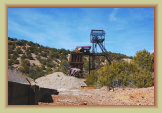
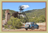
the ownership of the Empire Zinc Co., the old Billings and Paschal shafts were closed. After 1915, the Traylor shaft, the familiar
headframe at the mine today, was the main access to the mine used until its closure in the 1950s. The Traylor shaft is about
1,100 feet deep to access 10 levels of the mine. Eventually, some of the tunnels and drifts from the nearby mines connected
to the Kelly mine workings forming a network of over 30 miles of tunnels.
The mine was idle during the 1921-1922 depression. A 1929 company report stated that all known pay ore had
been removed and nearly exhausted. The exploration required to discover new bodies of ore would be cost prohibitive.
Ore
was mined at a smaller scale until 1939 primarily from the eastern reaches of the mine. This included considerable oxidized copper
ores. Smaller amounts of barite and calcite were found along the quartz cross faults. By the end of the 1930 depression years, future
prospects had been deemed so unfavorable that nearly all mill and smelter equipment had been removed from the property and the plant
buildings scrapped.
There was some production during the WWII war years with the Kelly Mine ceasing operations shortly after
that. Today, the Traylor shaft and tunnels are all now closed and sealed for safety.
NOTE: The Kelly Mine is PRIVATE PROPERTY. The owners are very tolerant of visitors who enjoy and appreciate the Kelly mine.
One of
the best preserved historic mines in New Mexico. Please respect the property. Do not climb the structures or remove anything.
WARNING: Safety
net at head frame over shaft has been vandalized and partially removed.
Shaft
is 1,100 ft. deep. Use extreme caution near shaft. Watch your children.
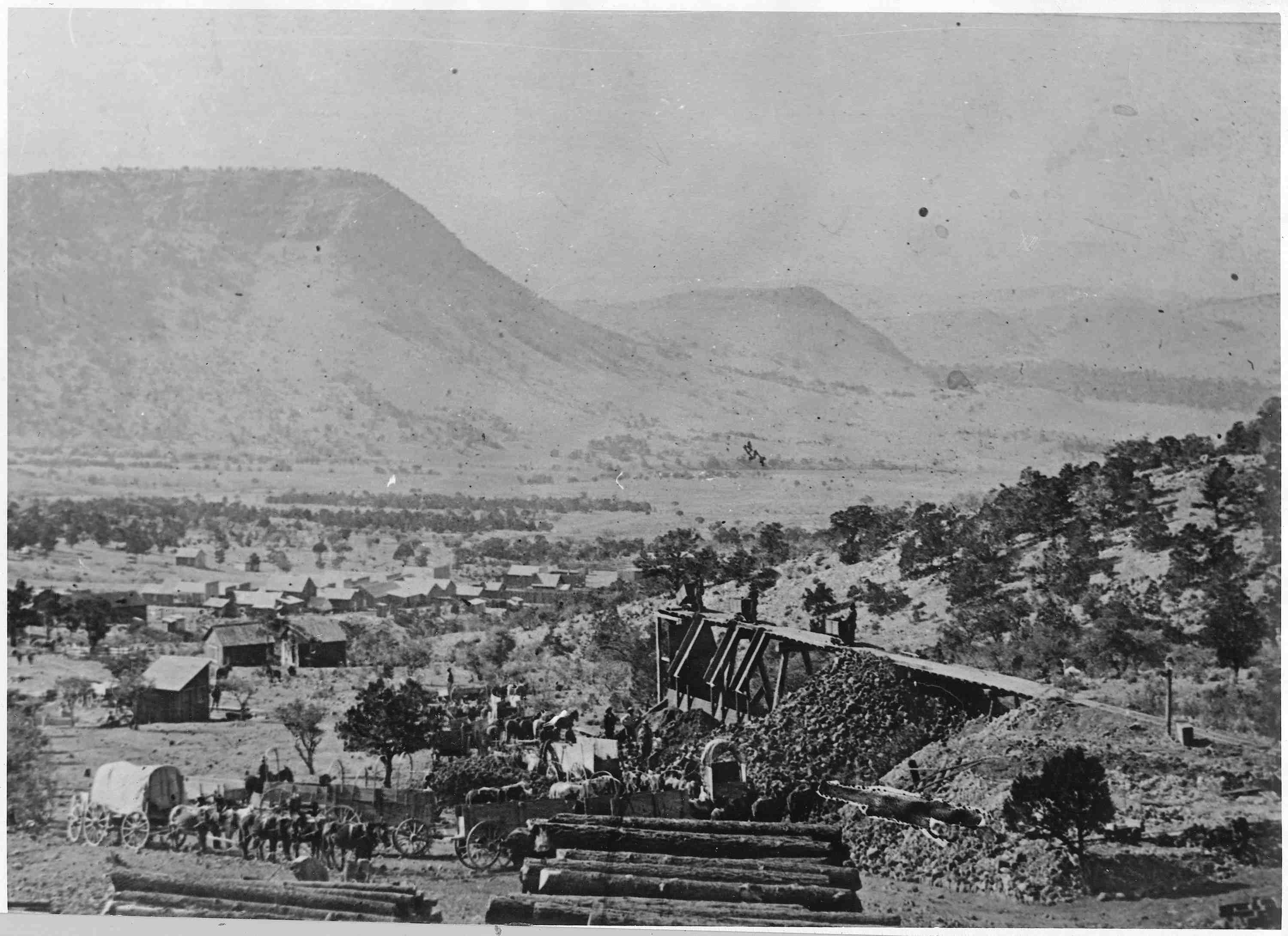
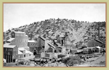
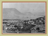
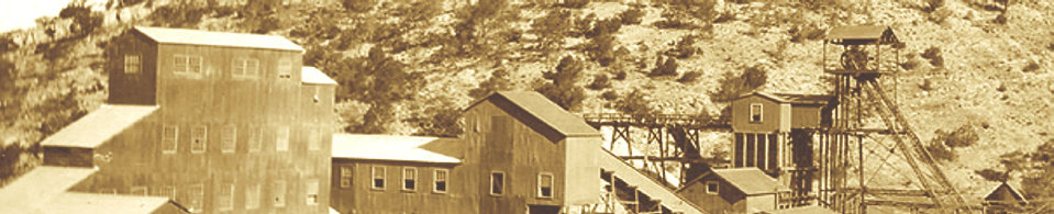
The Kelly mine and mill - 1916
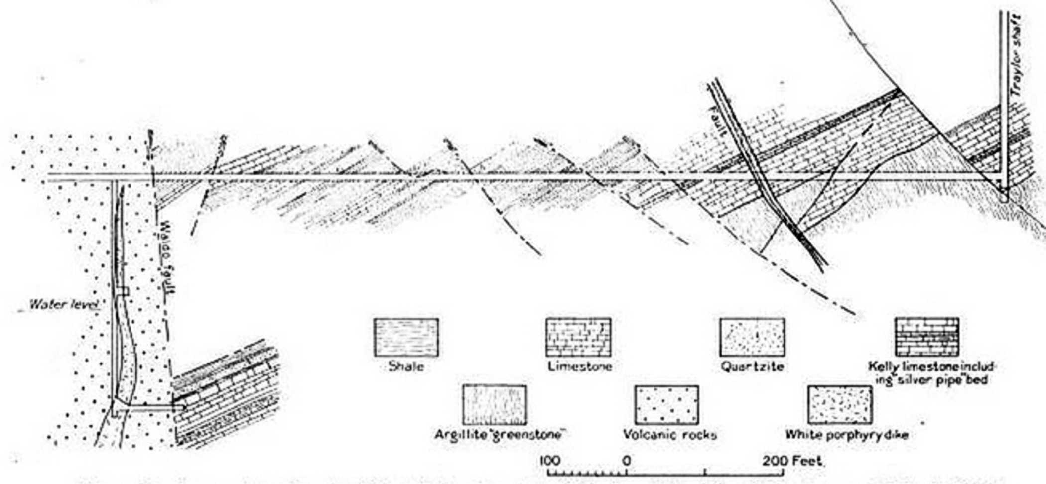
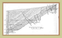
Cross section of Kelly mine north of Traylor shaft
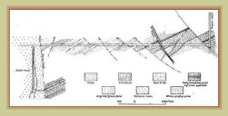
Cross section of level 10 of the Kelly mine west of Traylor shaft
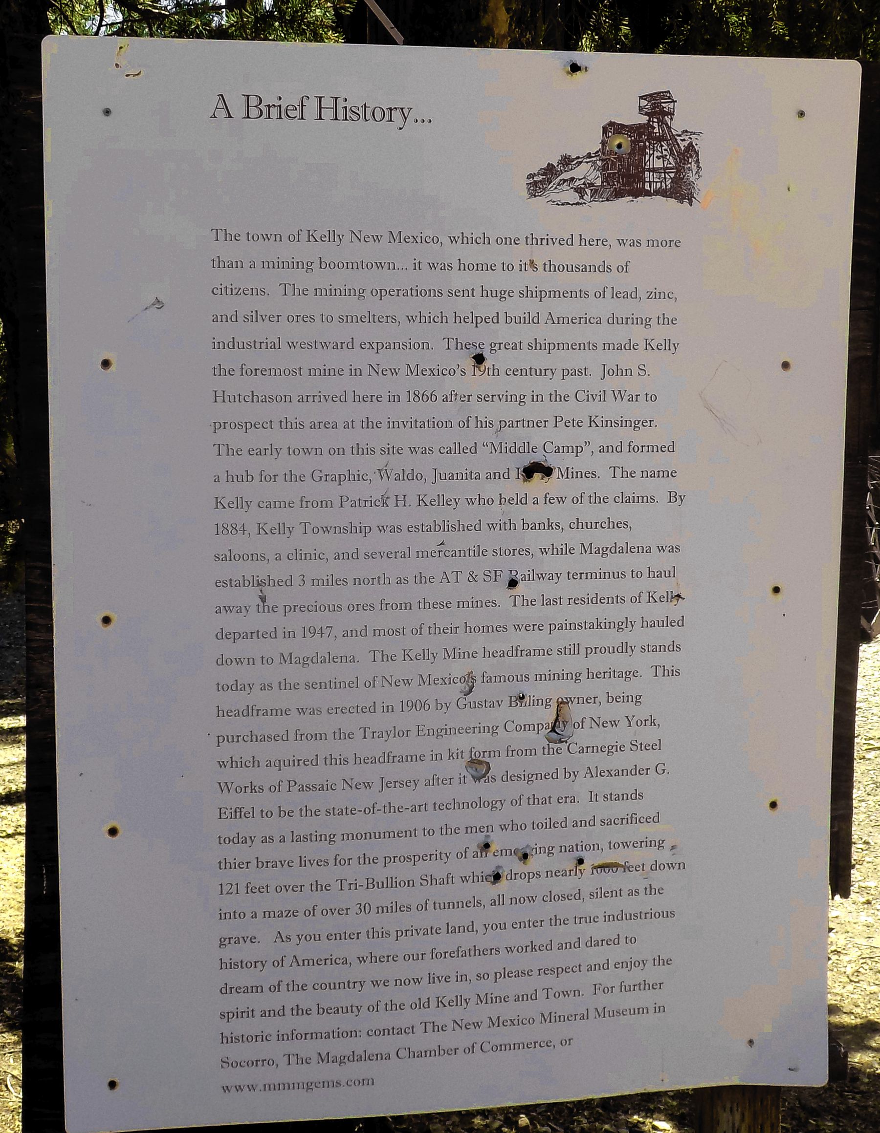
Information sign at the
Kelly mine
From "Geology and Ore Deposits of the Magdalena Mining District,
No. 200," New Mexico School of Mines, 1942
The Kelly Mine & Tri-Bullion Smelter
The Kelly Mine - Then
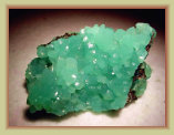
Smithsonite - the mineral
that made the Kelly area
mines famous
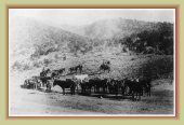
Before the railroad (1885),
ore was moved to the
smelters by a fleet of horse
and oxen drawn wagons
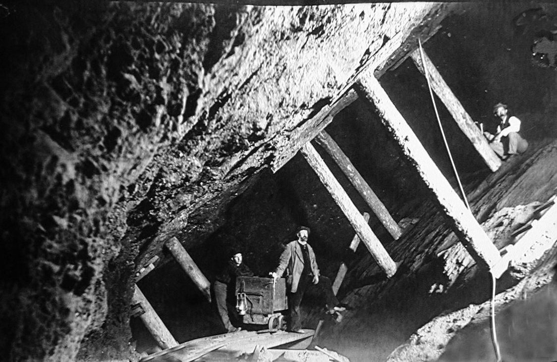
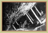
Working a stope
inside the mine
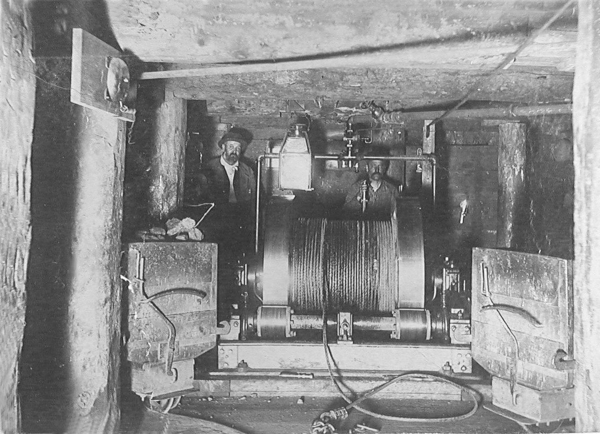
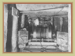
Winch inside the mine
working an incline between levels
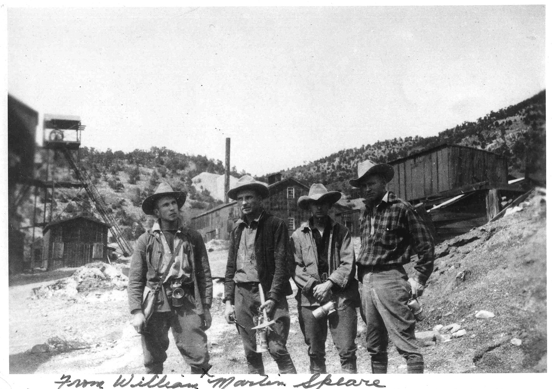
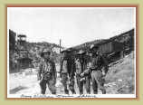
Miners at the Kelly mine
probably late 1930s
Many mules were used inside the mine for hauling the ore cars
Visiting the Kelly mine
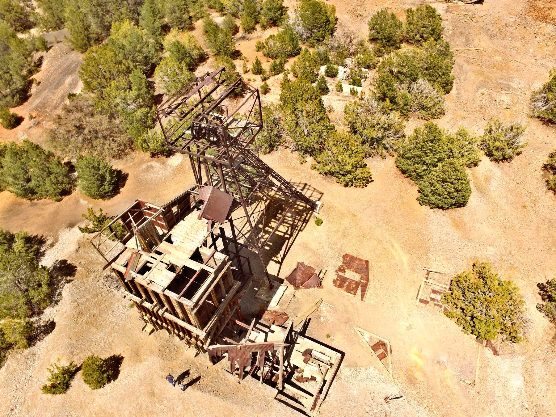
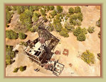
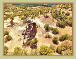
The Traylor shaft
and ore bin
The Traylor shaft and the remnants of the Tri-Bullion smelter
Photos - Then and Now
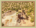
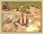
The Traylor shaft at the Kelly mine
Tri-Bullion smelter
Have photos? If you have photos of the Kelly mining district you'd like to share, please let us know here.
SCHS photos except where noted
Photos by Paul Harden
Photo: Western Mining History
Have photos? If you have photos of the Kelly mining district or of family that worked the mines you'd like to share,
please let us know here and we'll add them to these pages.
Kelly Mine
video
.mp4
3:36 min
66 meg
Links:
!

Socorro County Historical Society
Socorro, New Mexico, USA

History
Articles
The Kelly Mine & Traylor Shaft
Mines
3
0723d
On this page: