The Piro Province
Tzelaqui/Sevilleta Pueblo
This is a temporary webpage to house some photos of the excavation work being conducted at the Tzelaqui/Sevilla Pueblo and the associated
San Juan Obispo de Sevilleta mission church, circa. 1627-1680. Excavations under the direction of
Dr. Michael Bletzer of Jornada Research
Institute and many volunteers. Photos from May 7, 2016 work session.
For a recent description of the pueblo and excavation by
Dr. Bletzer,
click here (Jornado Research Institute website & report)
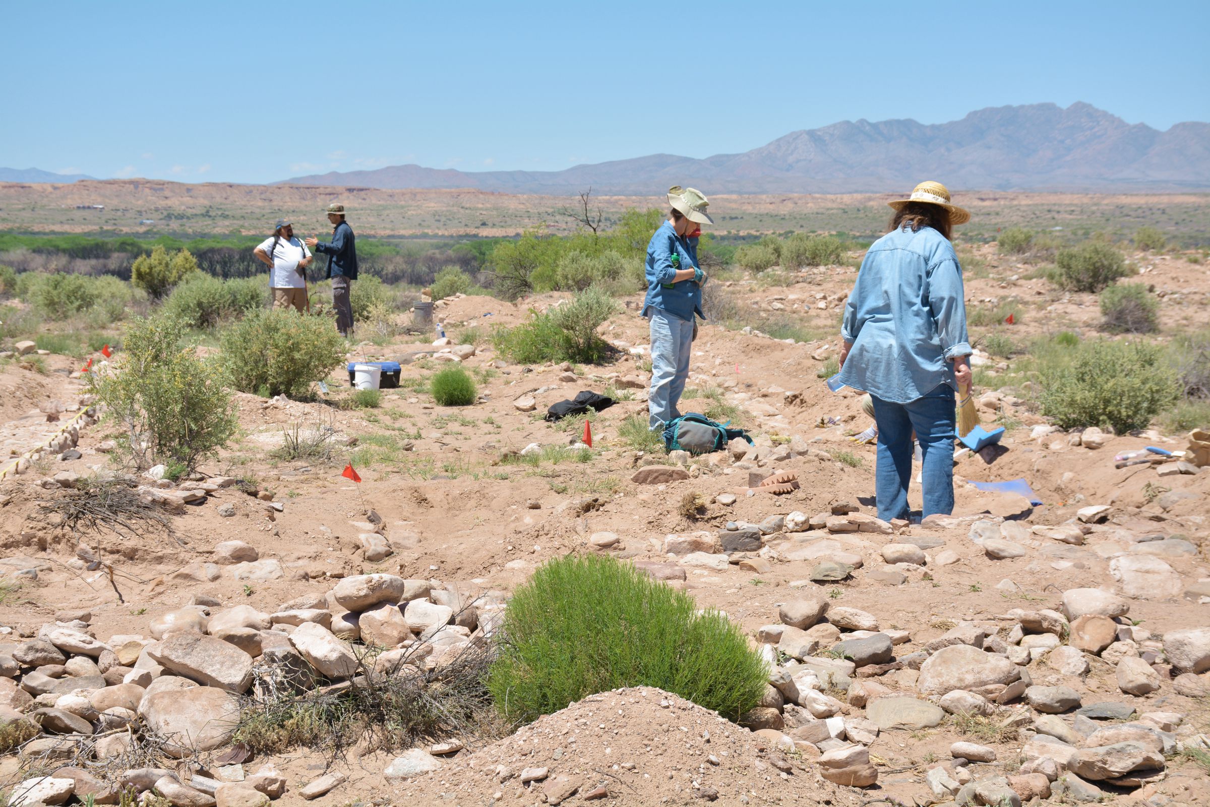
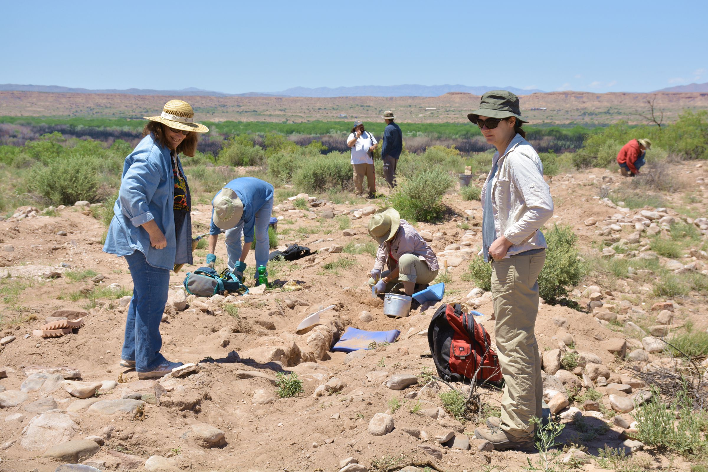
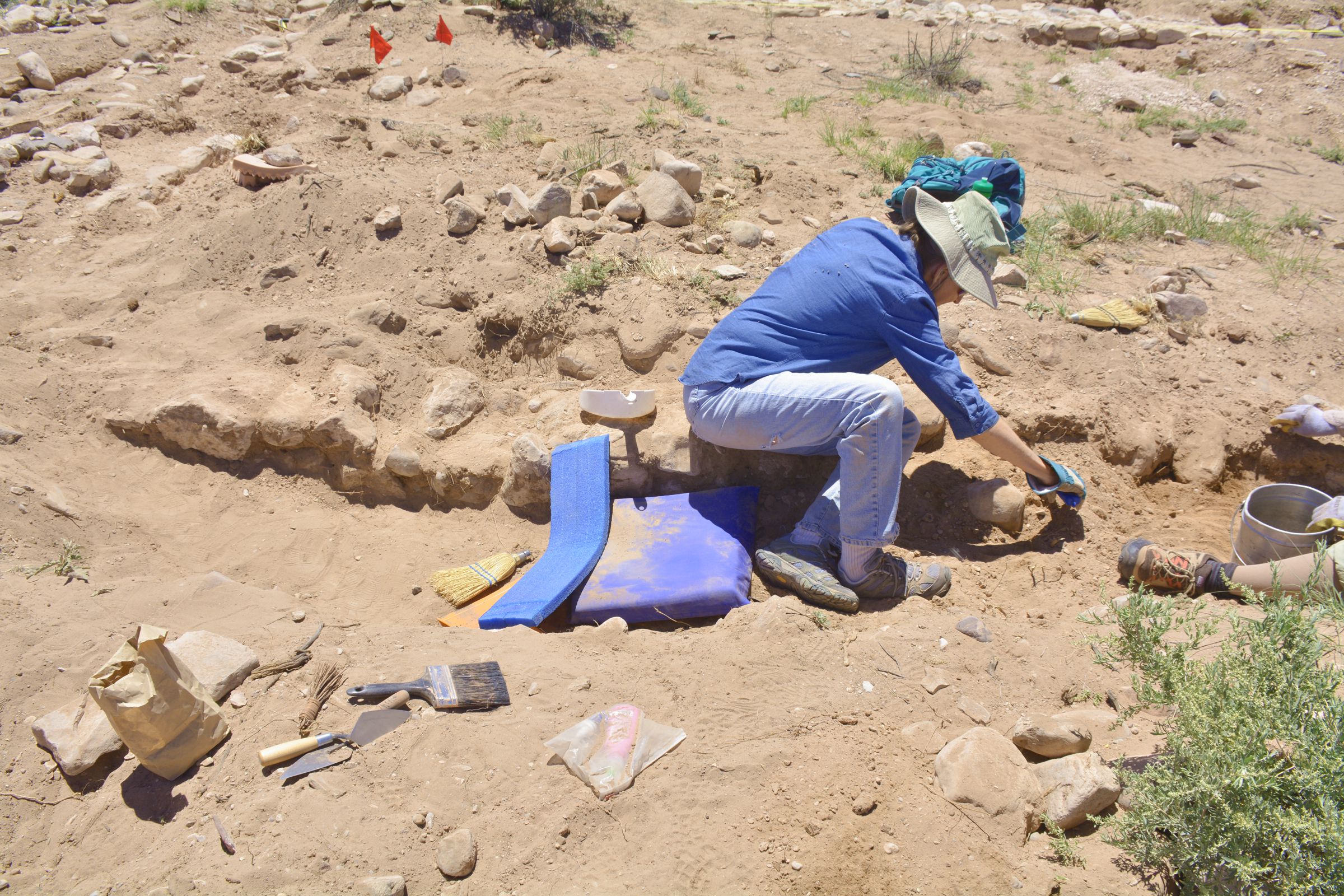
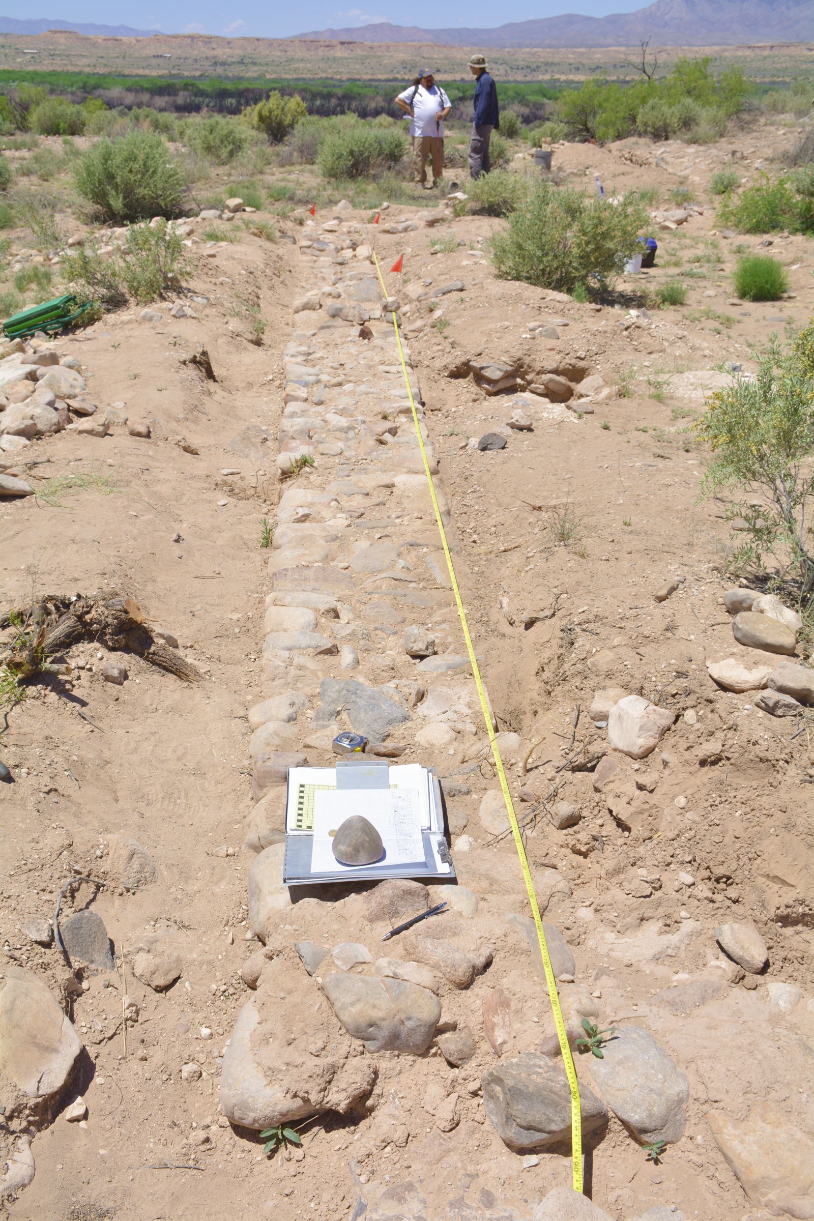
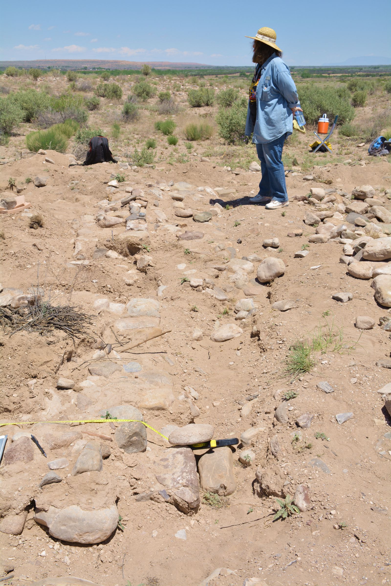
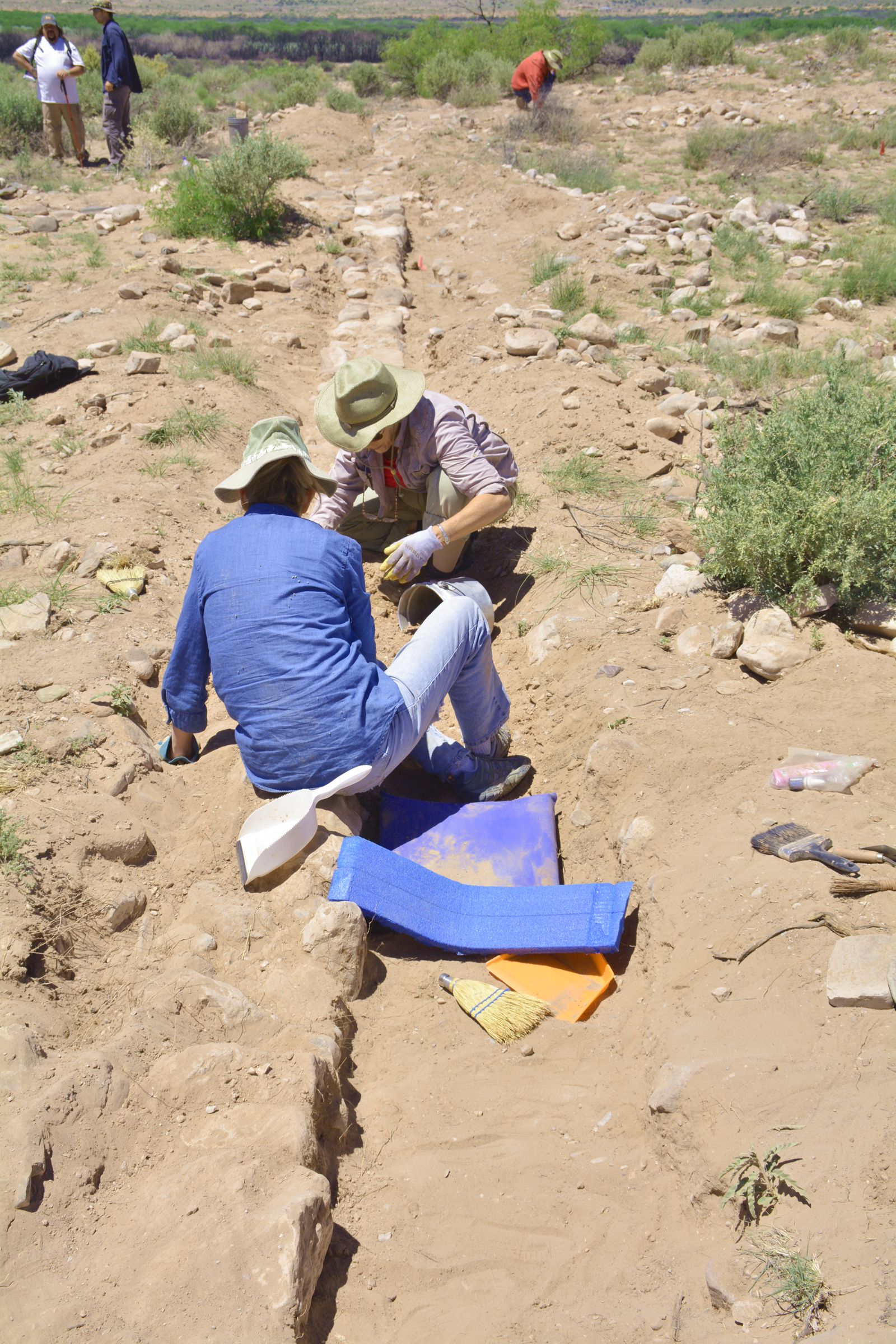
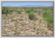
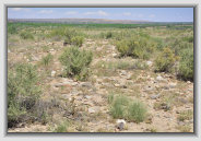
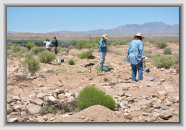
General photos of the pueblo
All photos by Paul Harden, Socorro County Historical Society
Photos are here to share or download for your use with proper credit
Click
on all photos to enlarge to 300 dpi (most about 8x6 inches, 300 dpi)
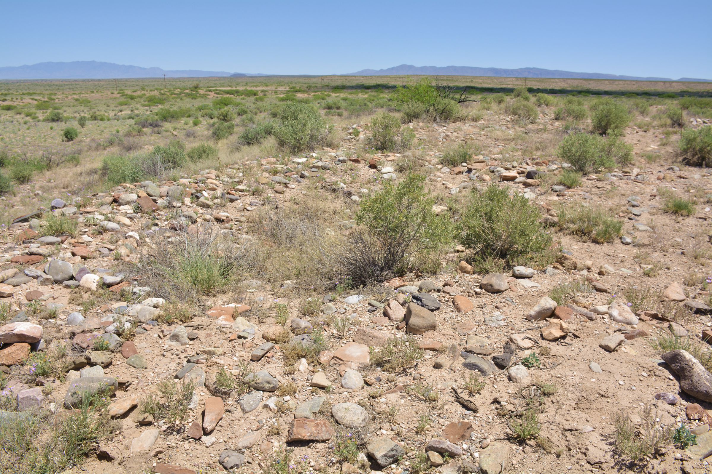
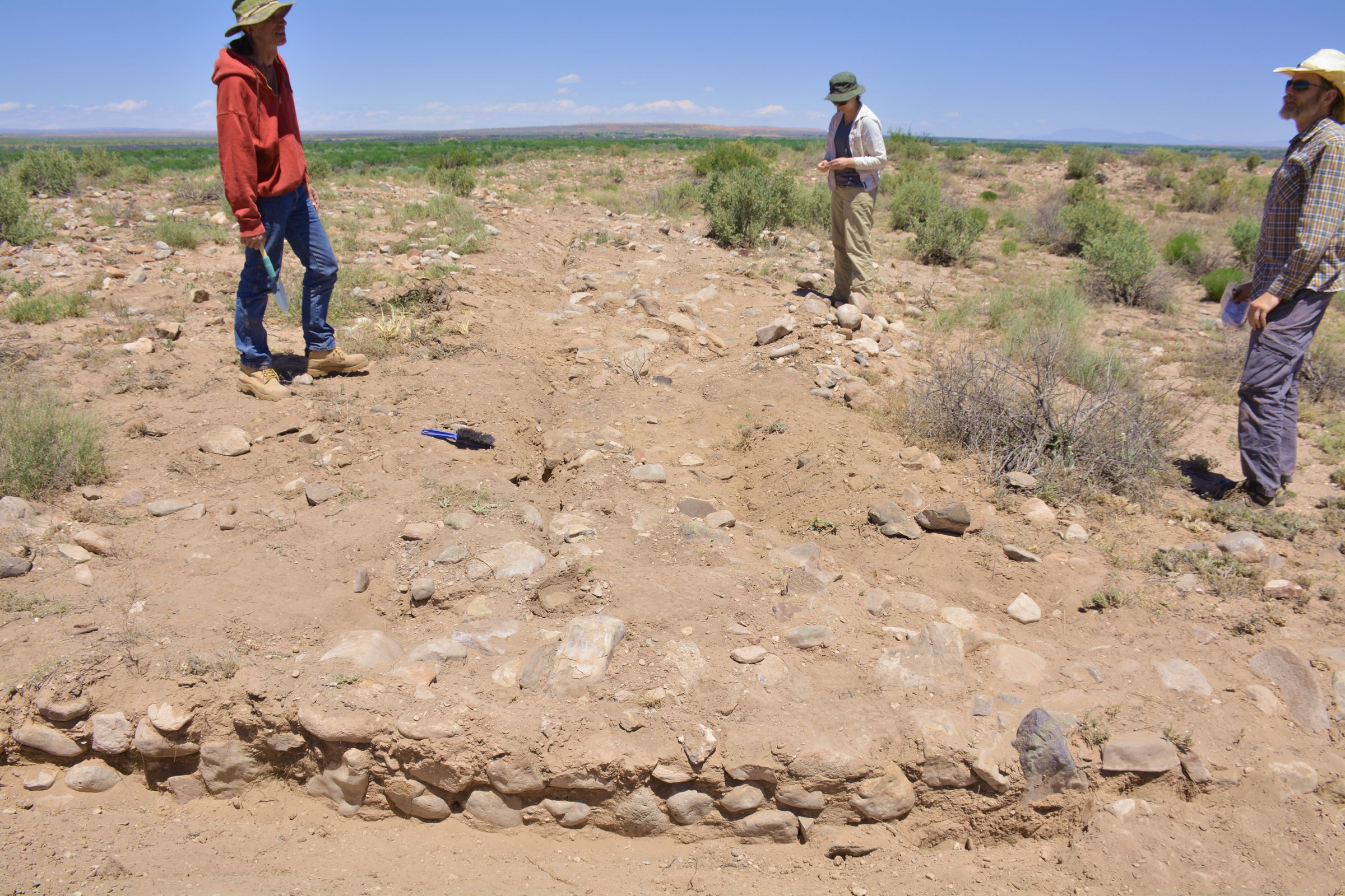
References based on Mike Marshall's designations of site features
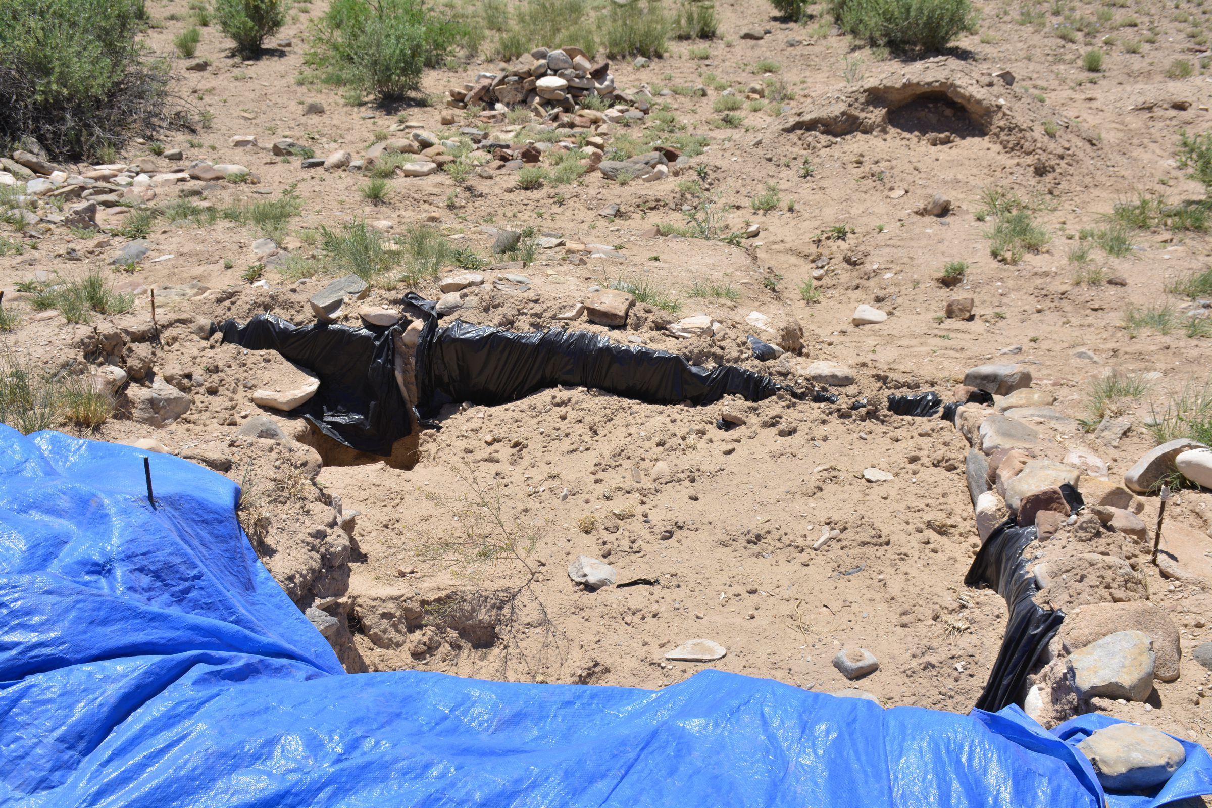
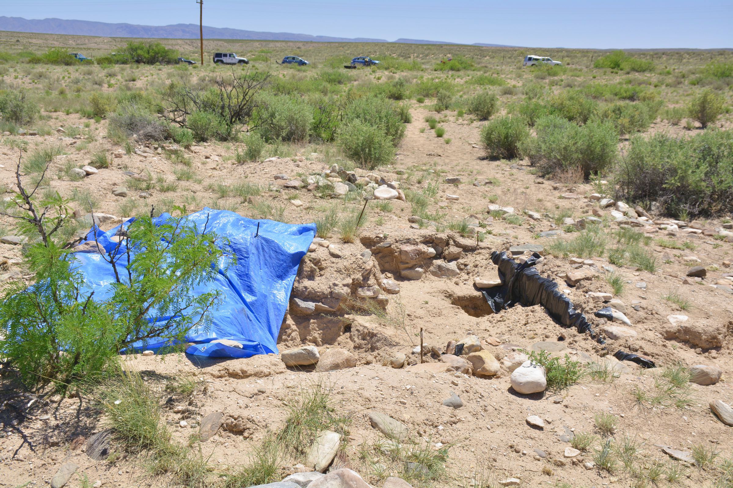
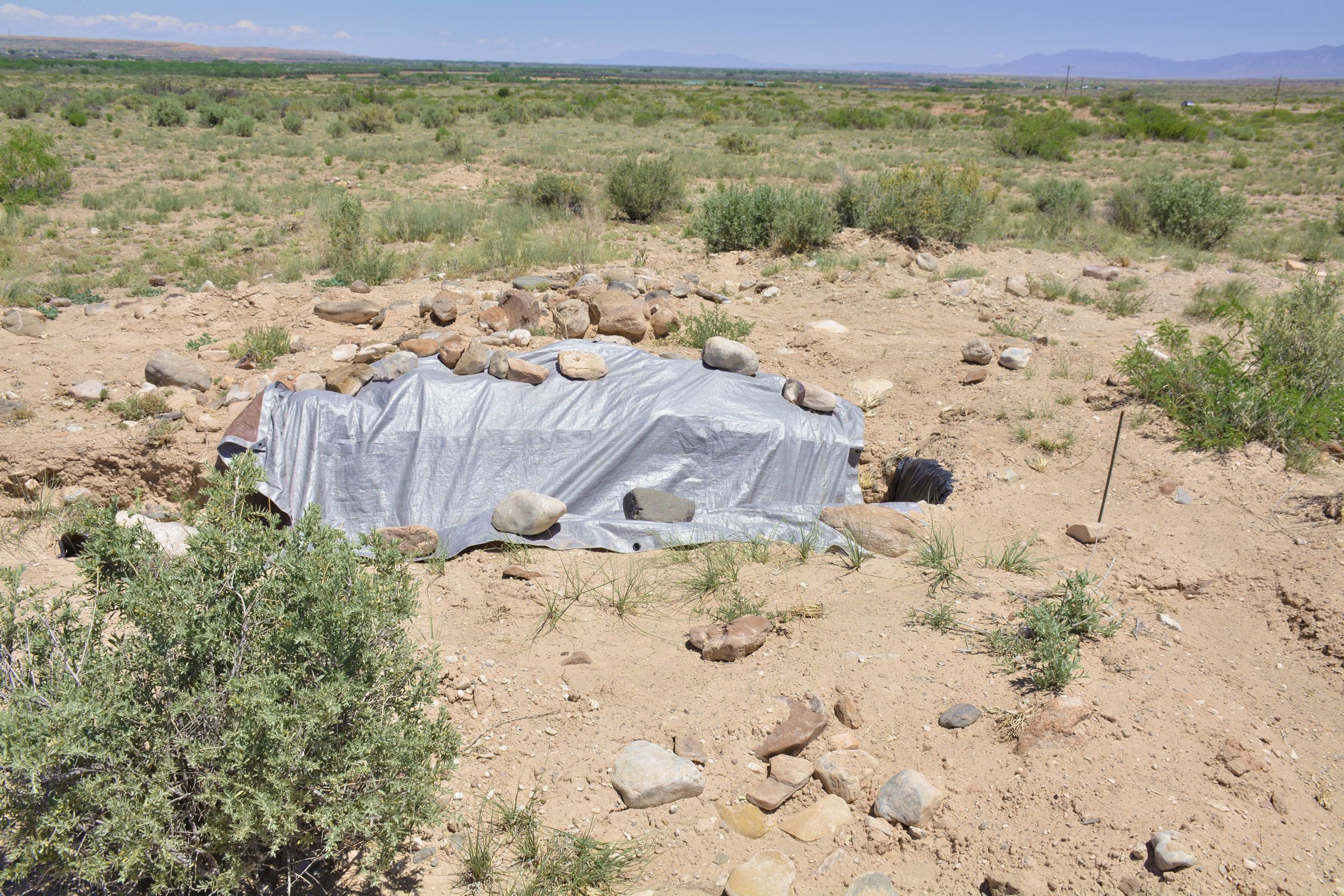
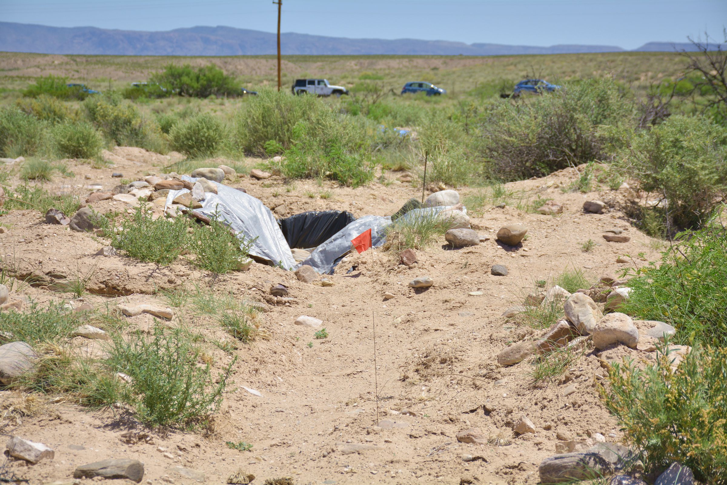
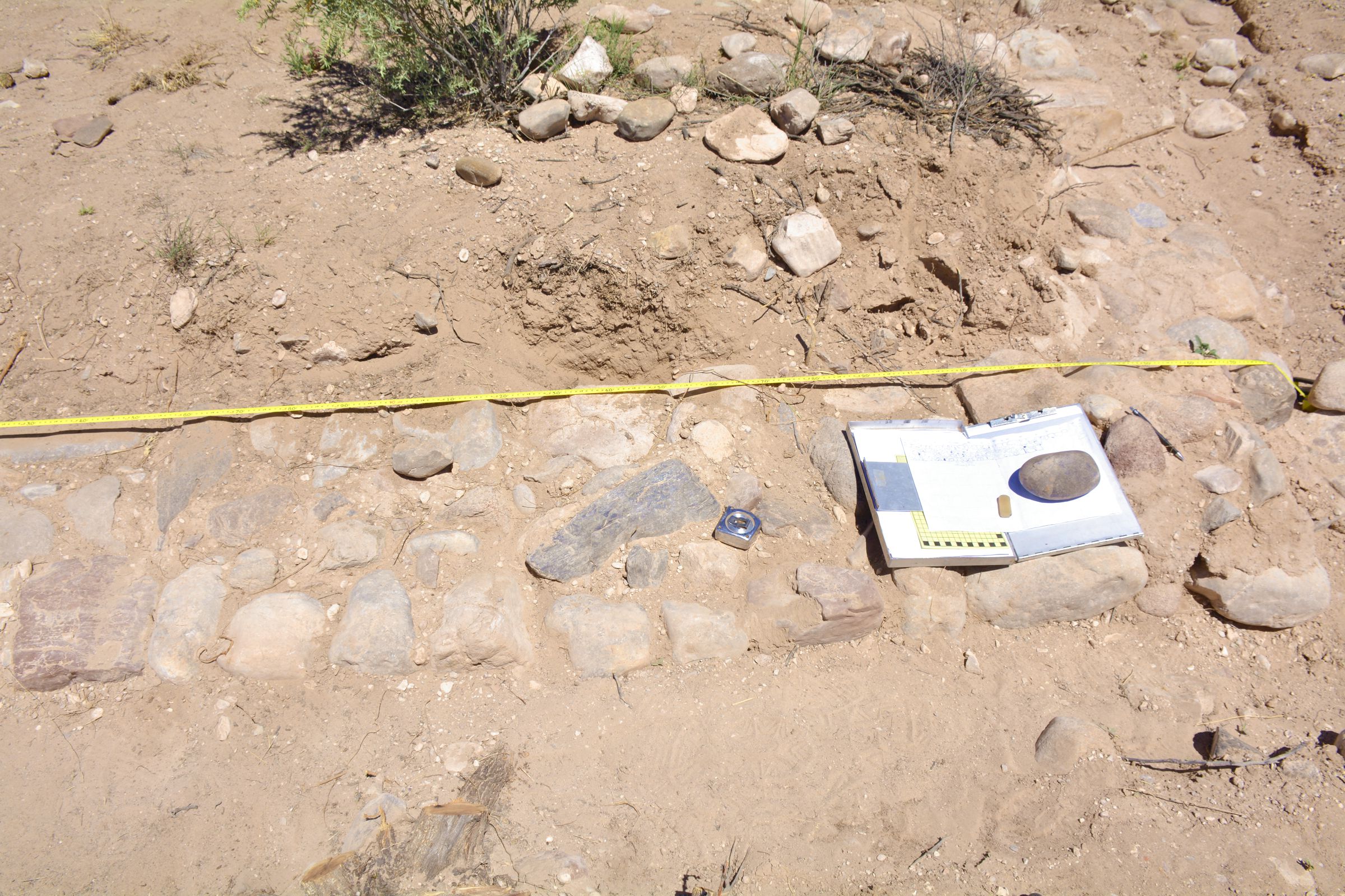
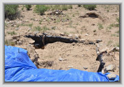
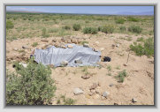
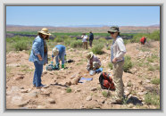
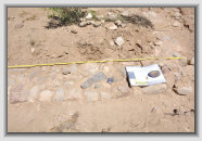
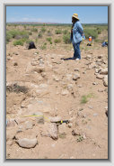
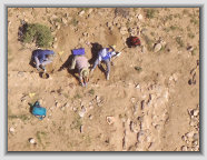
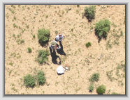
Partial excavation, Spanish structure
(roomblock 9?)
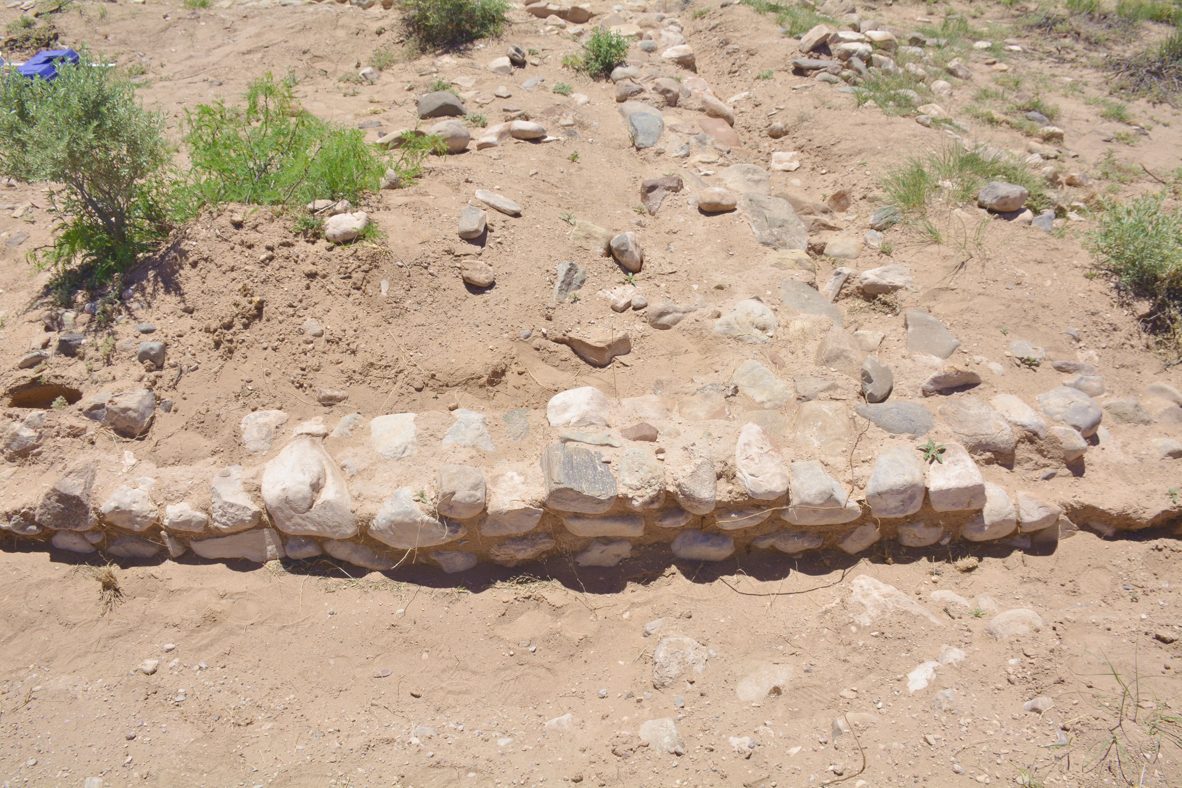
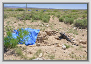
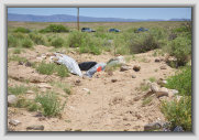
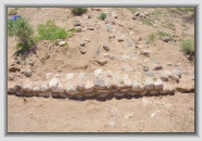
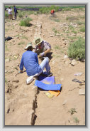
Spanish structure originally identified as the mission (roomblock 8?)
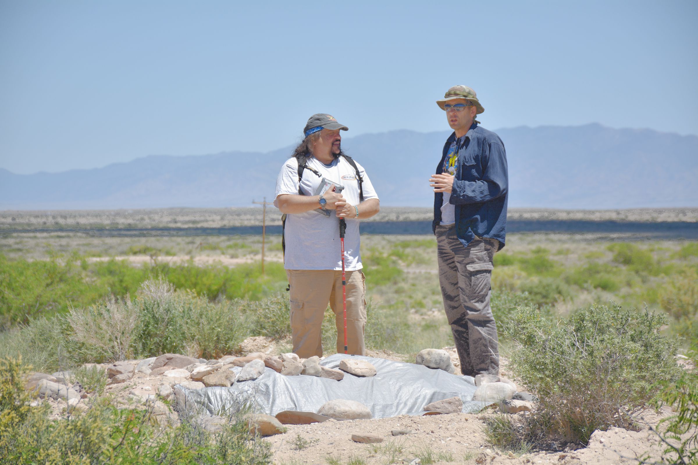
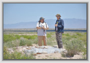
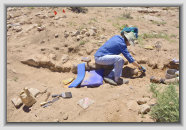
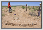
El jeffe, archaeologist
Dr. Michael Bletzer (right)
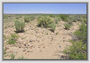

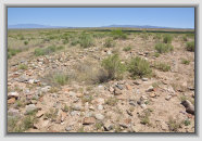
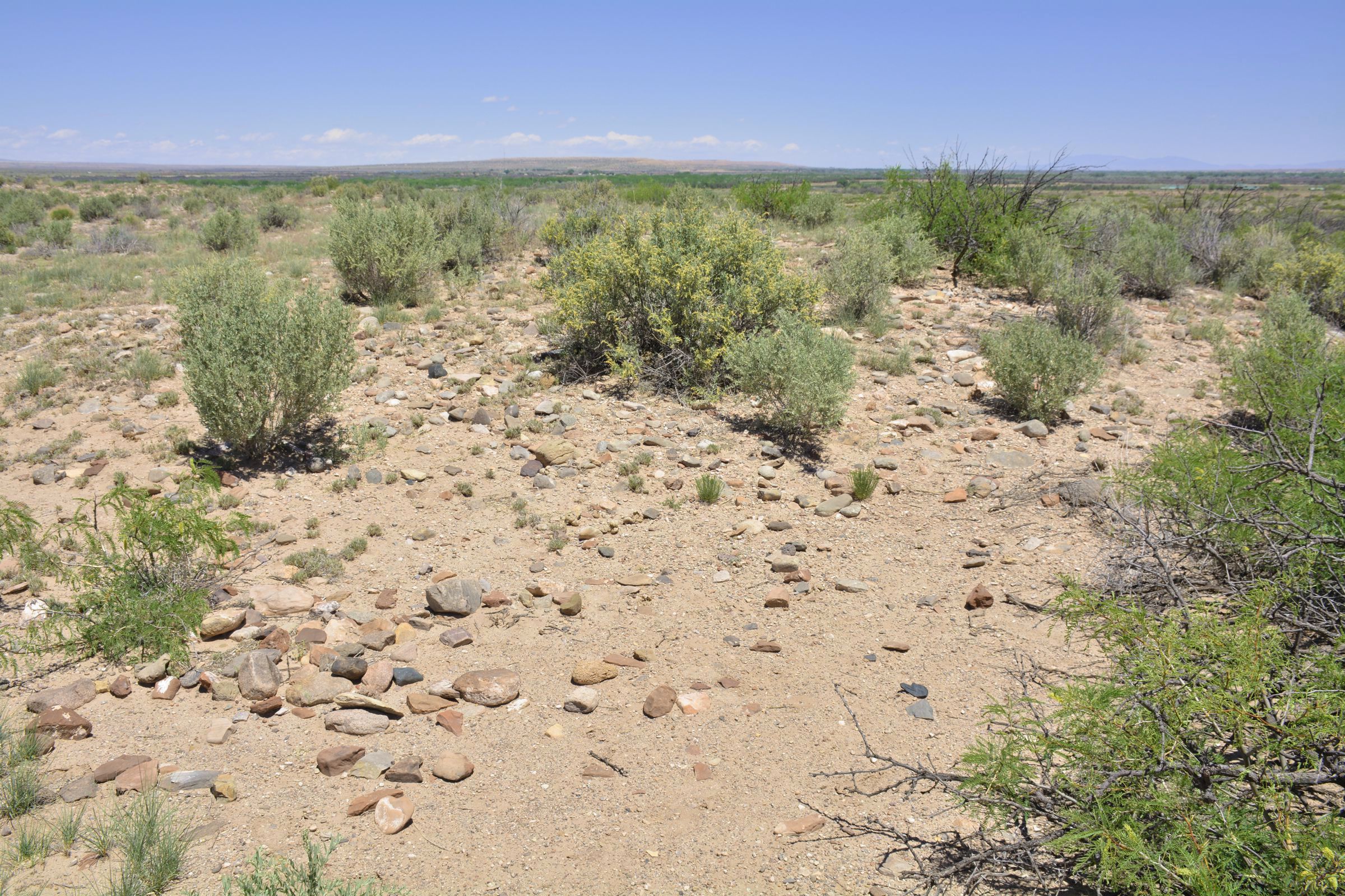
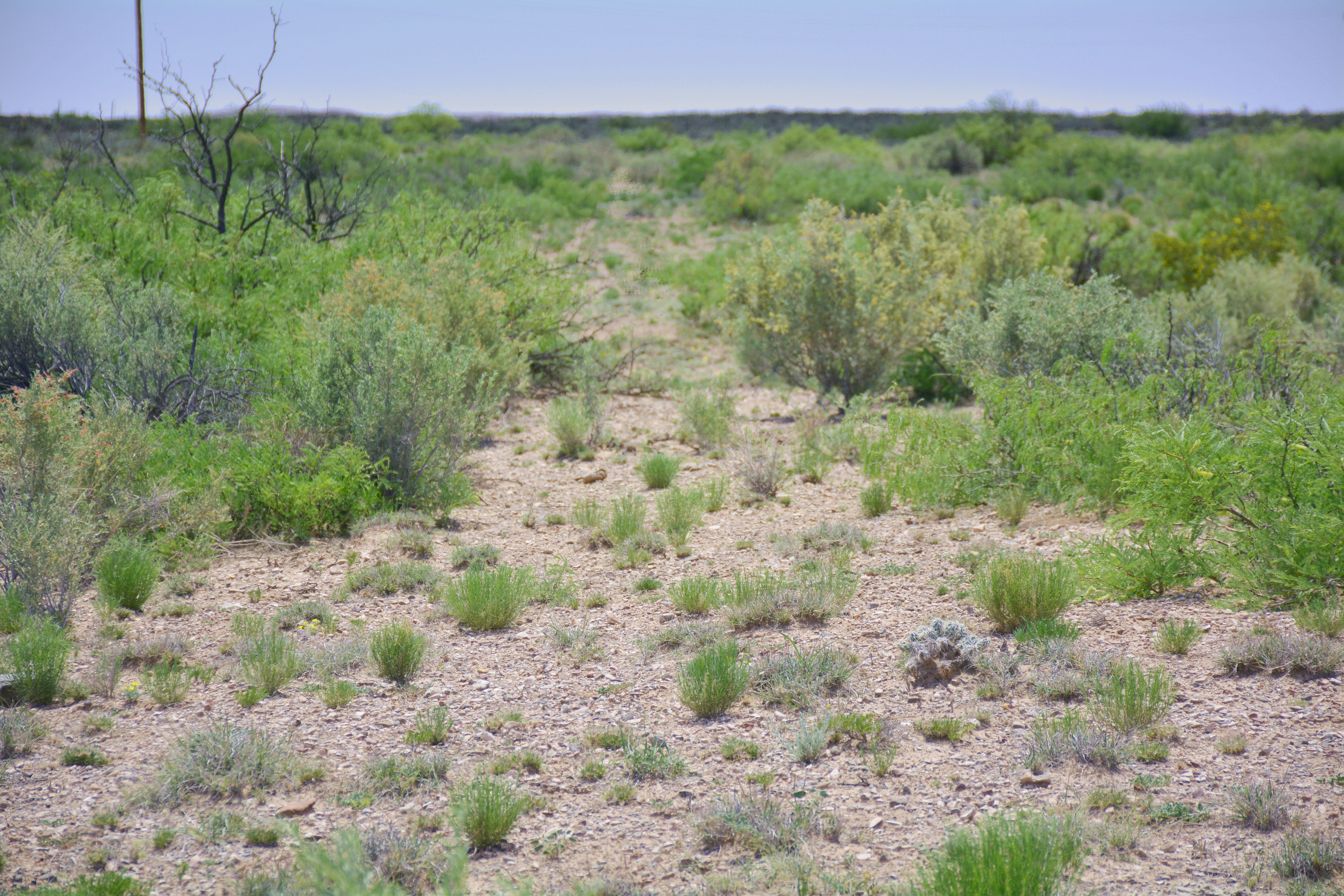
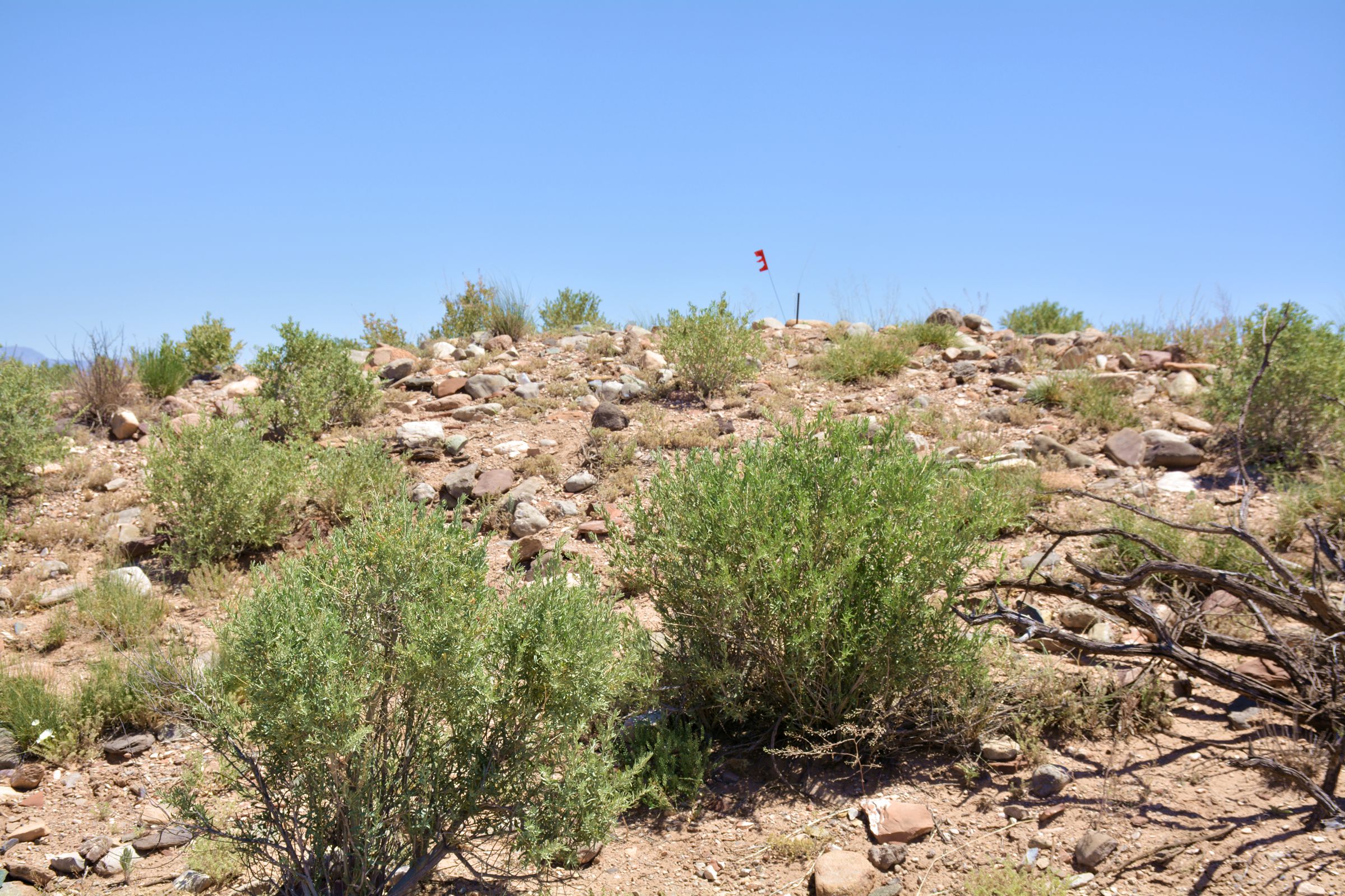
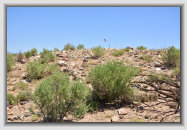
Roomblock #7 (unexcavated mound)
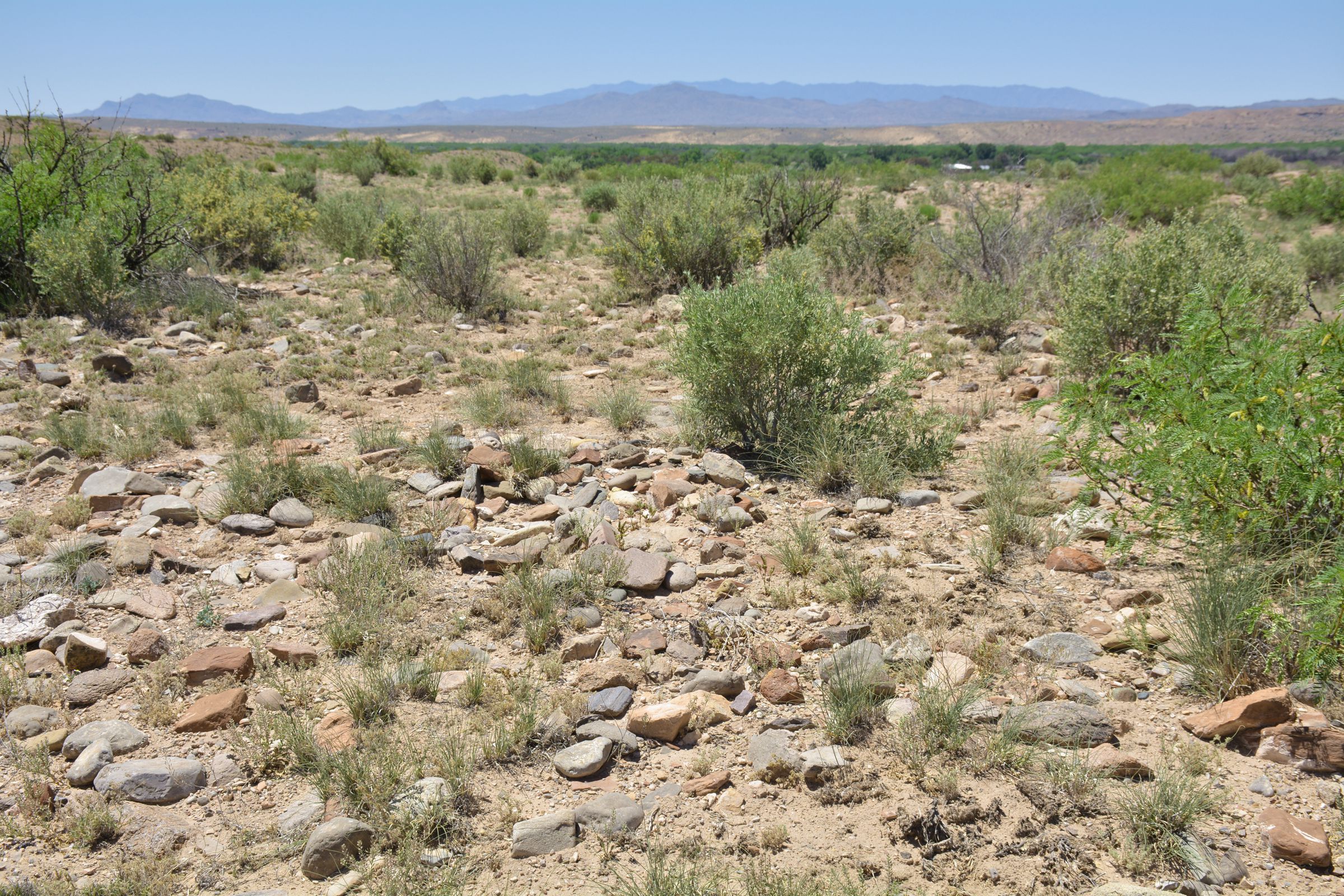
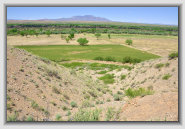
Looking up at mound #1
from arroyo
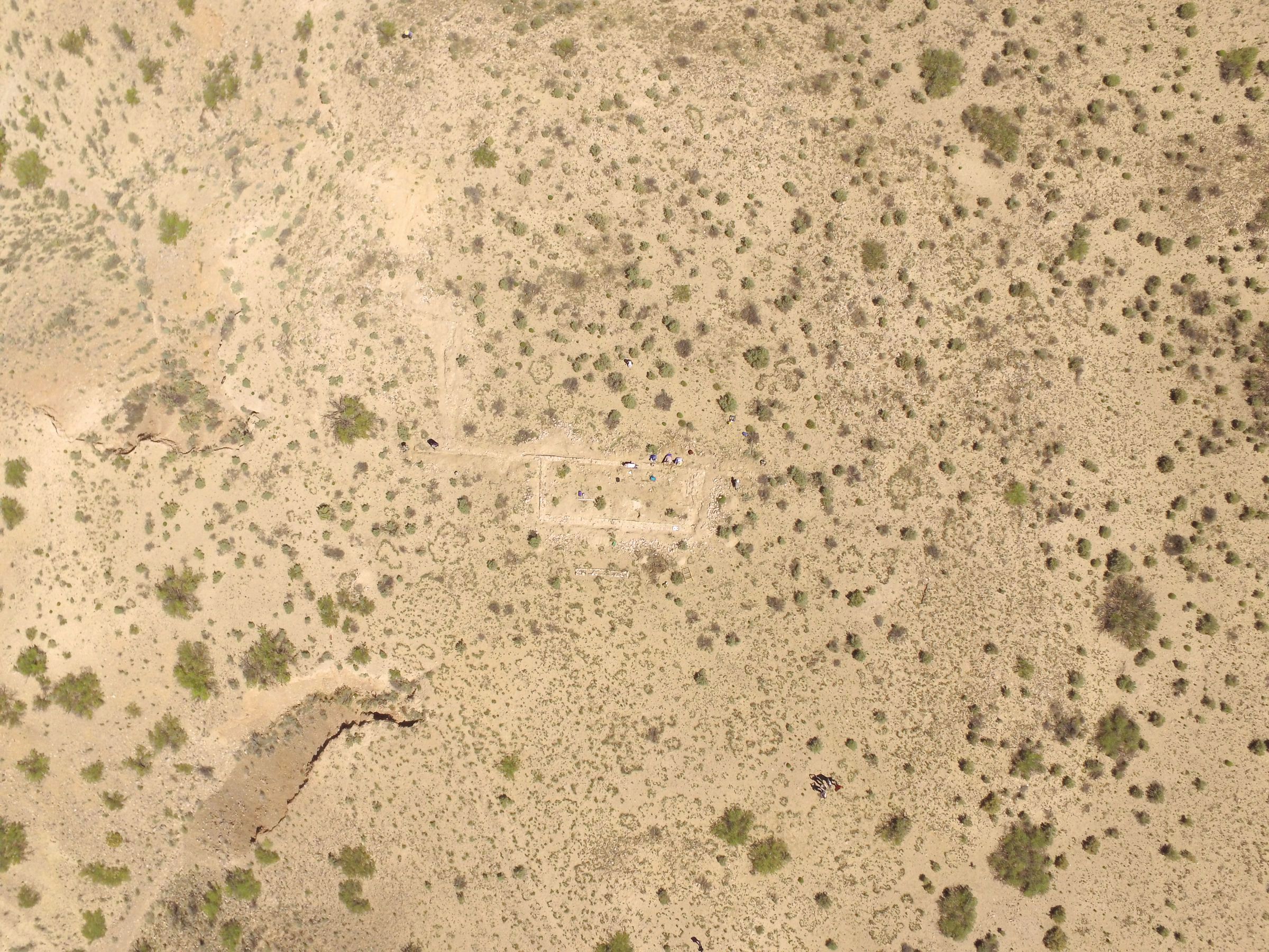
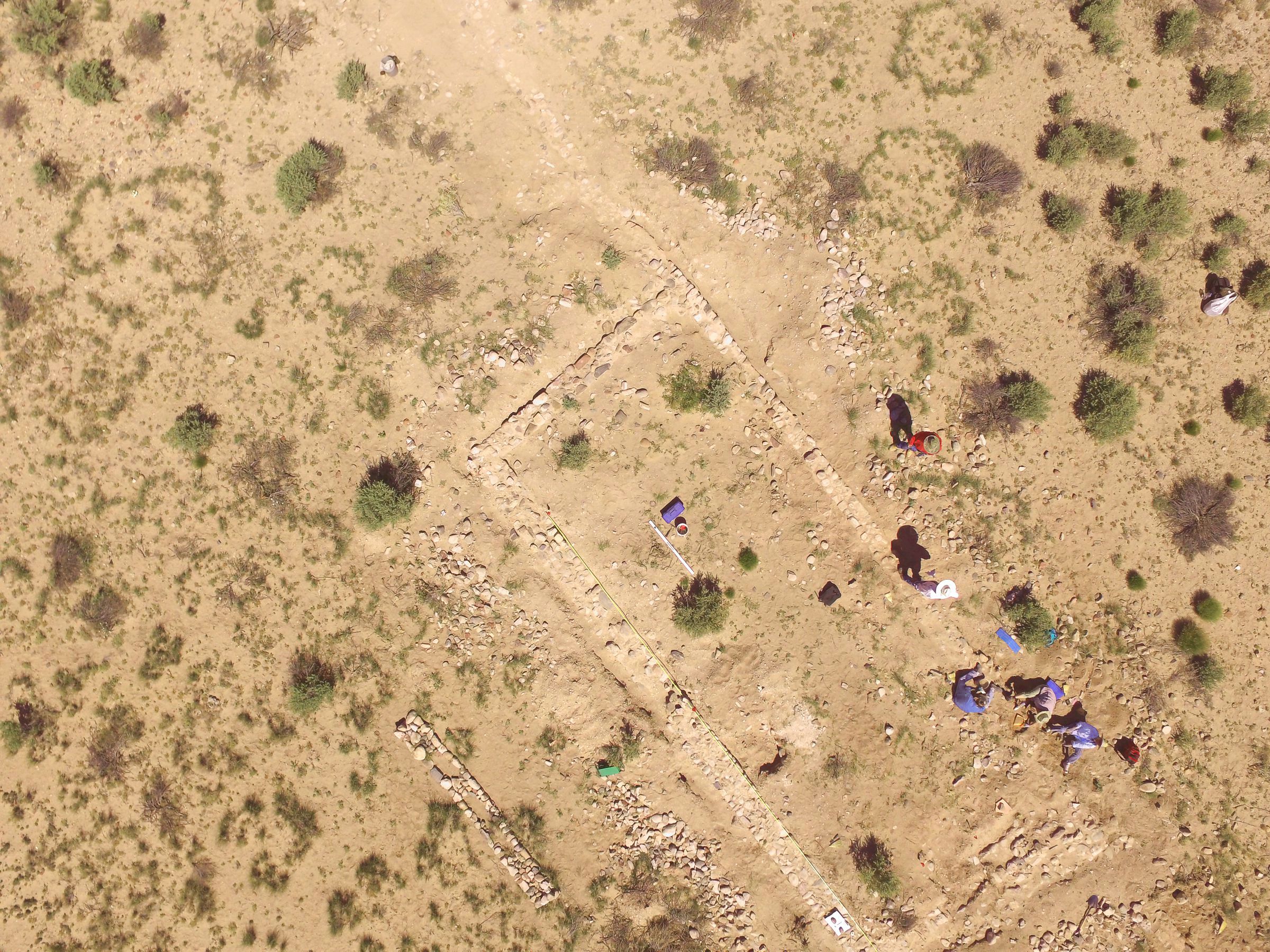
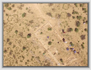
Drone photo of
excavation area
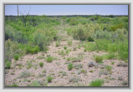
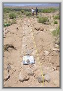
Likely El Camino Real swale
entering pueblo from the south
Excavation photos of the pueblo mission and surrounding areas
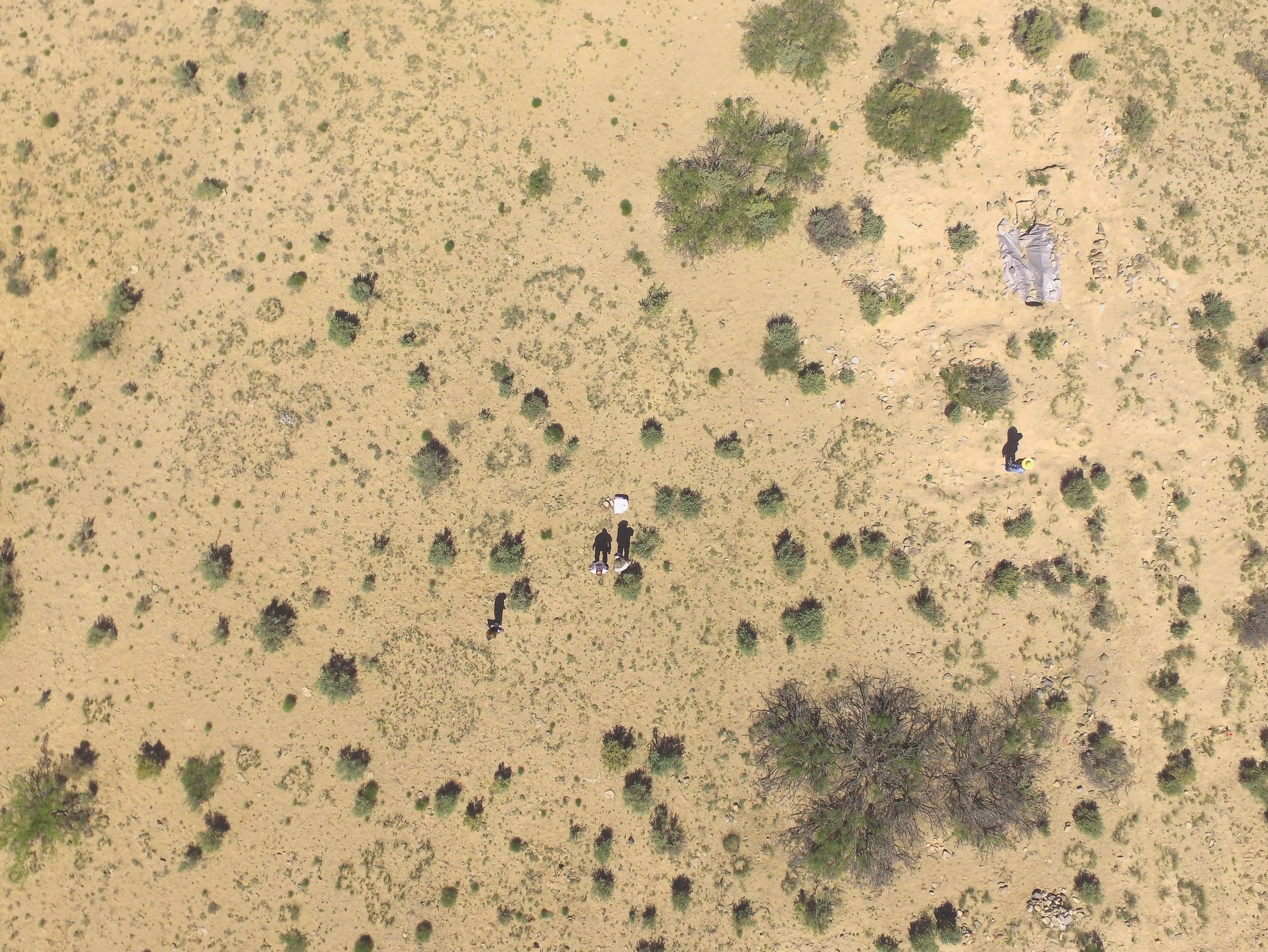
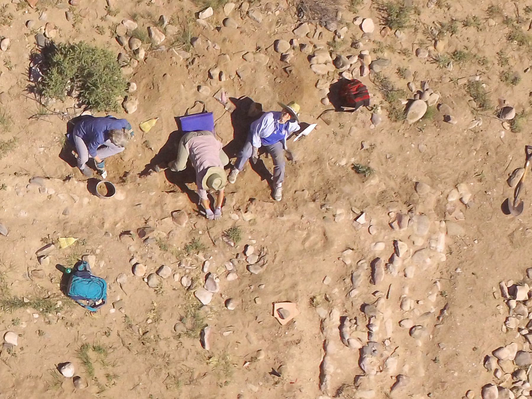
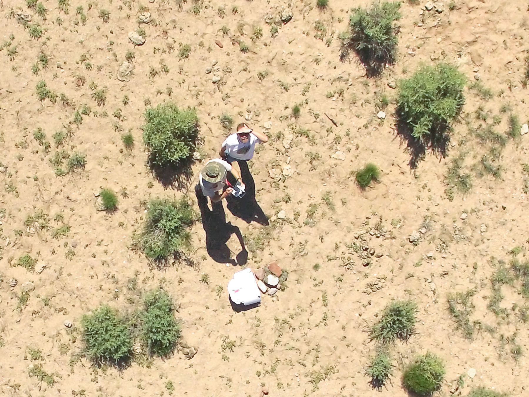
Aerial photos of the excavation work
Aerial drone photos taken by Paul and Craig using a DJI Phantom 3 quadcopter aerial photo platform
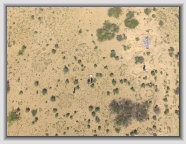

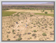
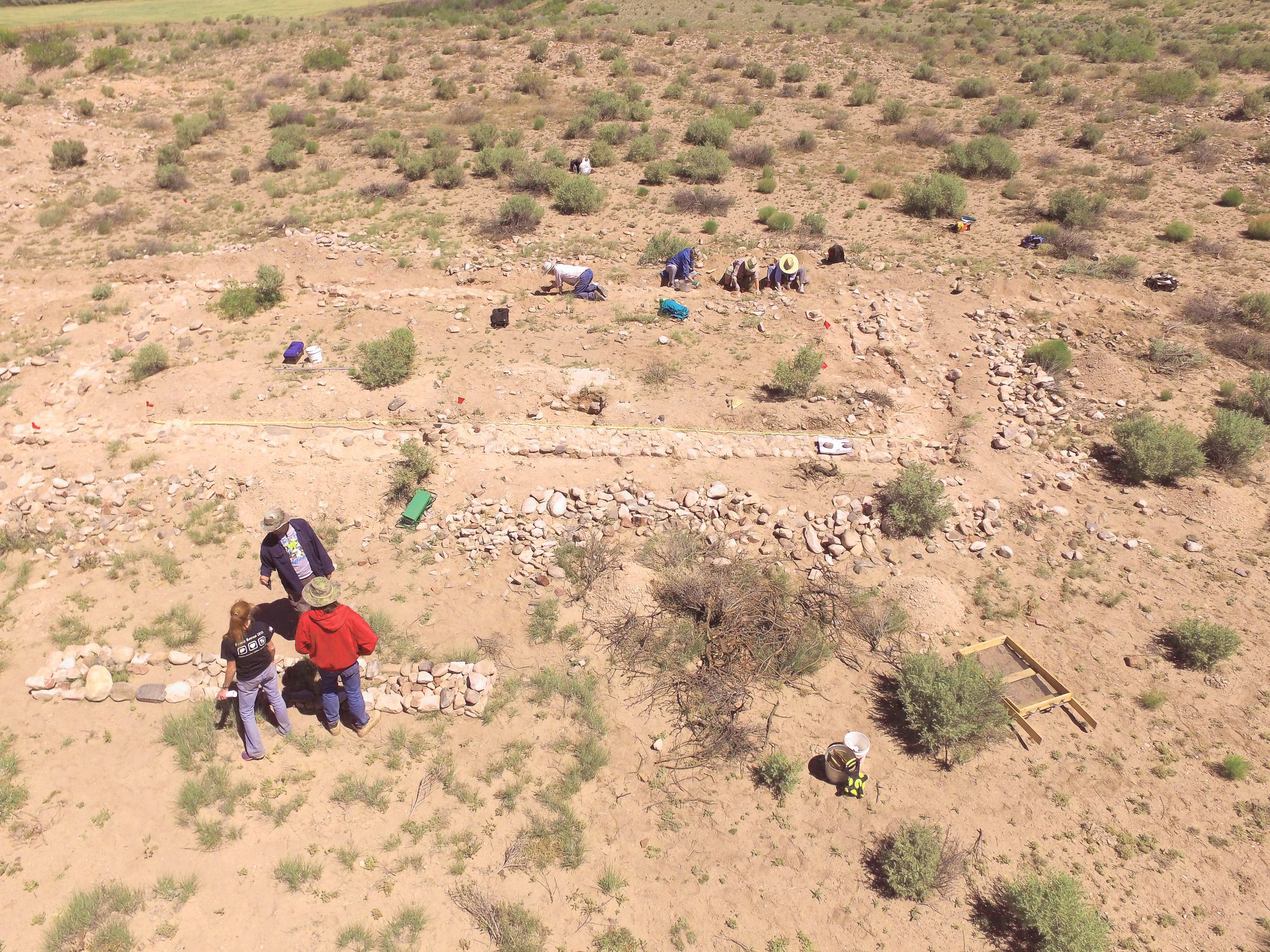
Overall view of the
mission excavation area
White box in center is the site stake (GPS/UTM reference)
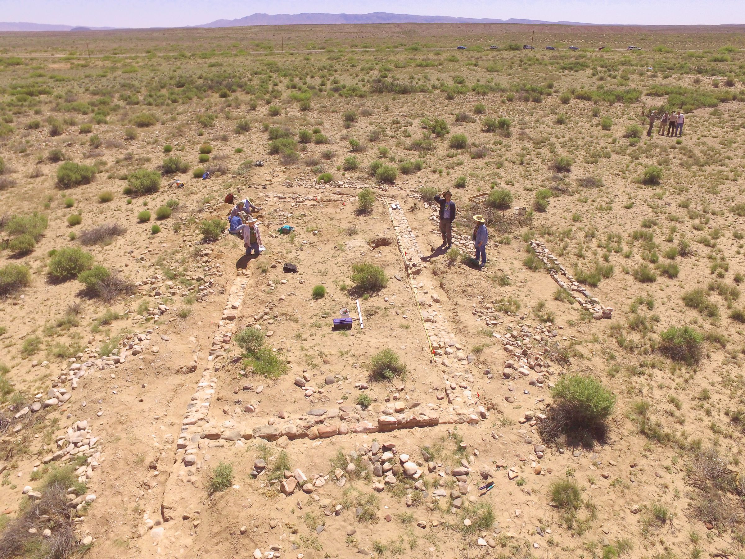
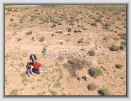
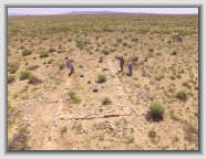
Excavating the San Juan Obispo mission church
Mission walls
looking north
Mission walls
looking east
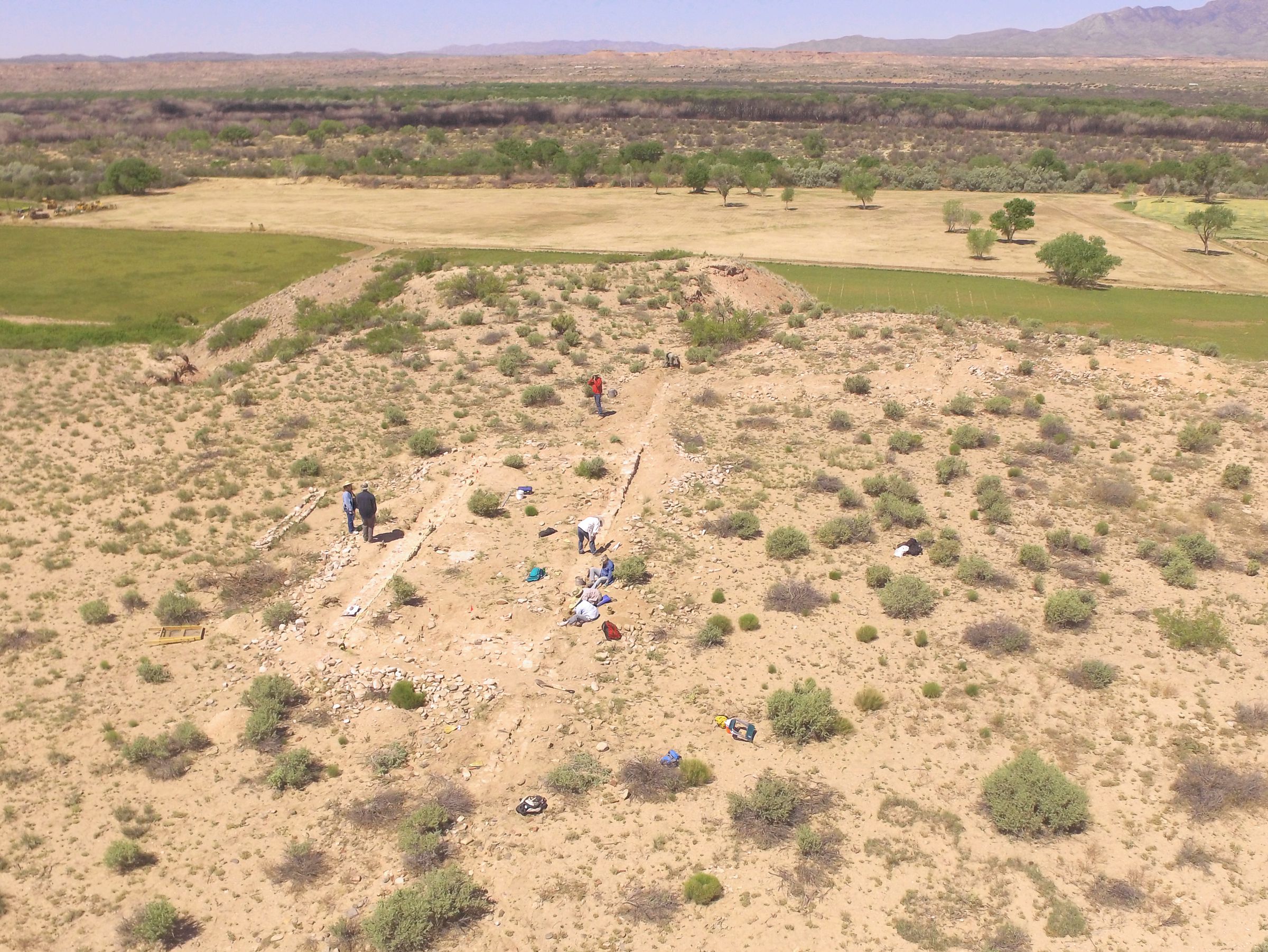
Looking west with
suspected convento
area upper right
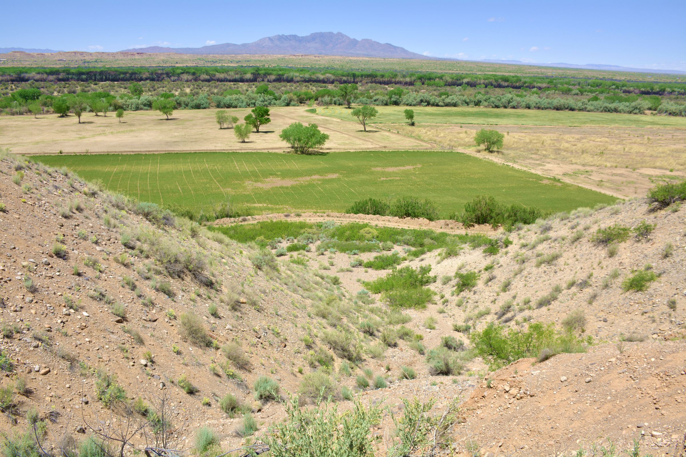
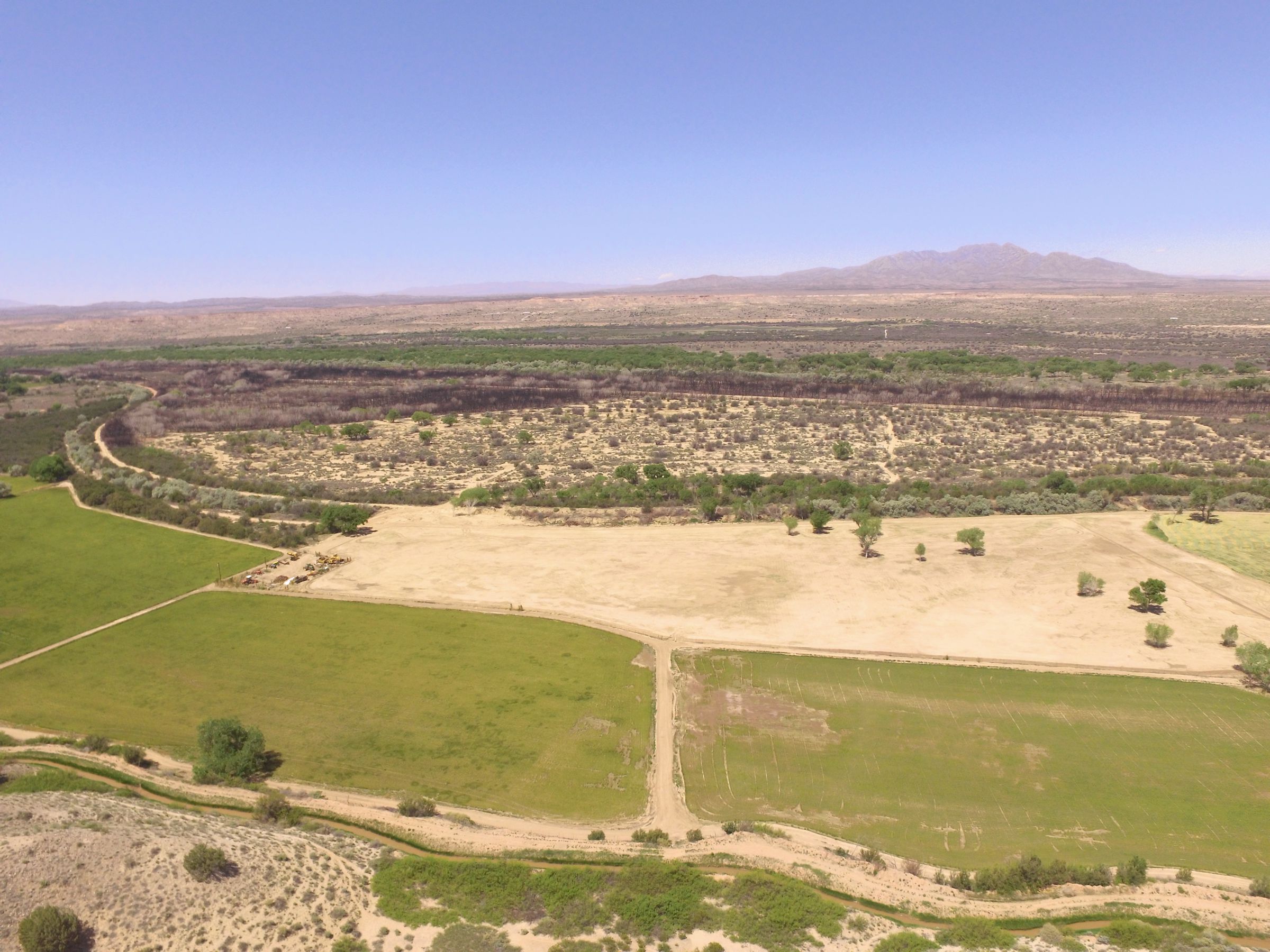
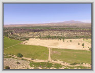
Looking west towards the
Rio Grande from the pueblo
from about 300 ft. high
Paul and Craig
flying the Phantom
(at site stake)
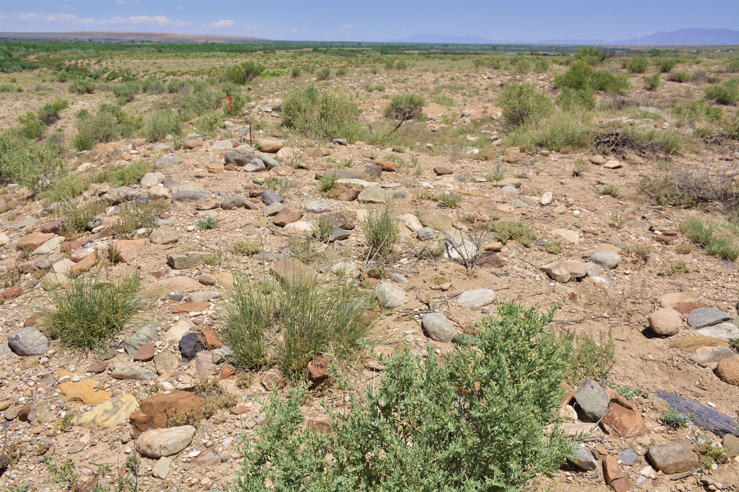
Atop roomblock #1
and kiva area
Webpage courtesy of the Socorro County Historical Society, P.O. Box 921, Socorro, New Mexico 87801
17,486,371